Shevlin is a city in Clearwater County, Minnesota, United States. The population was 137 at the 2020 census.
| Name: | Shevlin city |
|---|---|
| LSAD Code: | 25 |
| LSAD Description: | city (suffix) |
| State: | Minnesota |
| County: | Clearwater County |
| Elevation: | 1,453 ft (443 m) |
| Total Area: | 0.81 sq mi (2.08 km²) |
| Land Area: | 0.81 sq mi (2.08 km²) |
| Water Area: | 0.00 sq mi (0.00 km²) |
| Total Population: | 137 |
| Population Density: | 170.19/sq mi (65.74/km²) |
| ZIP code: | 56676 |
| Area code: | 218 |
| FIPS code: | 2759782 |
| GNISfeature ID: | 0659763 |
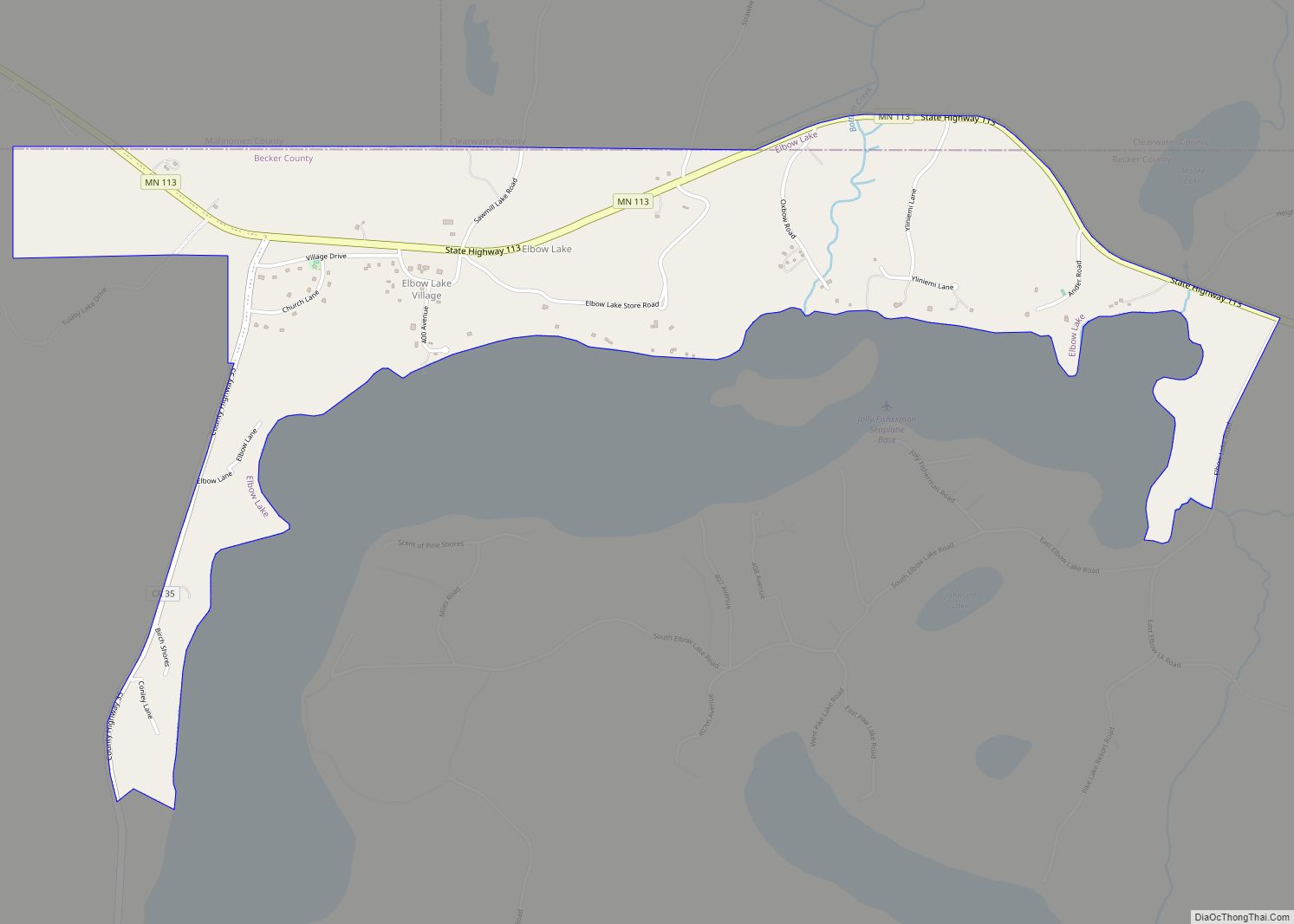
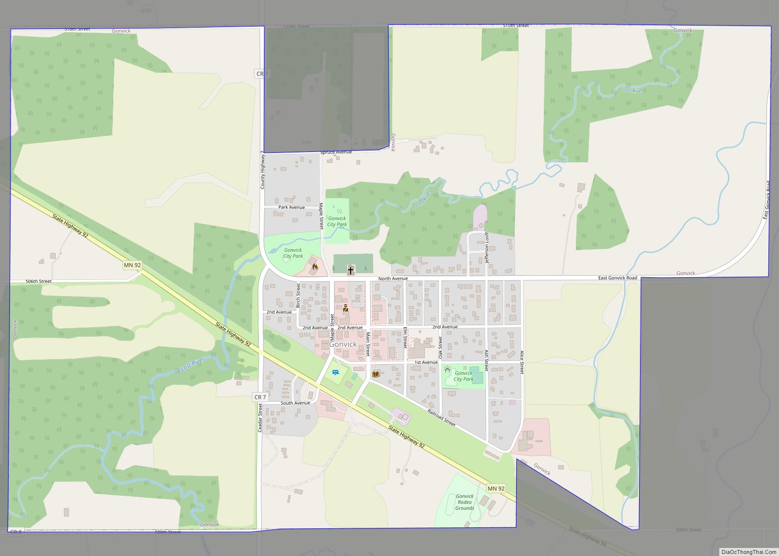
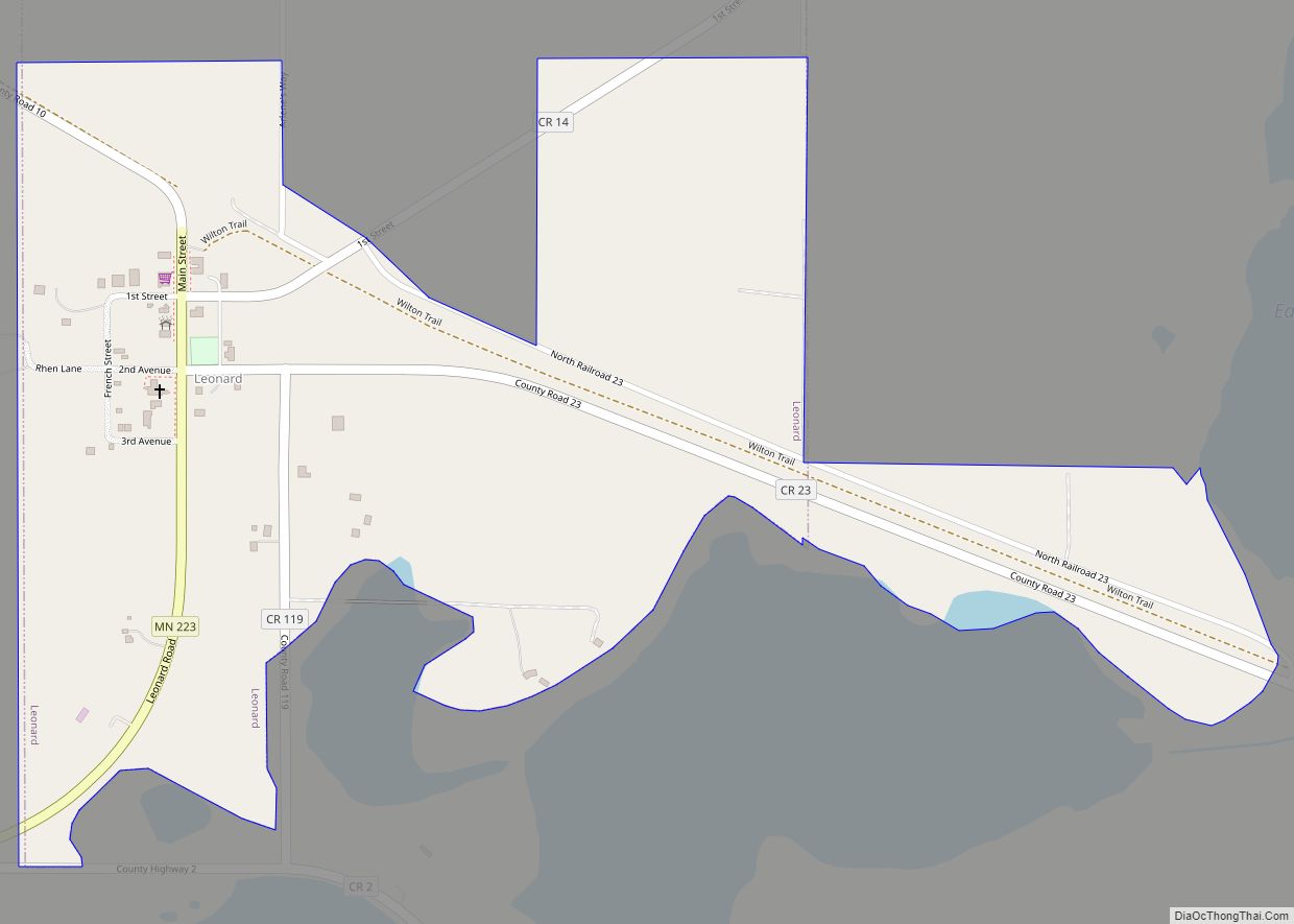
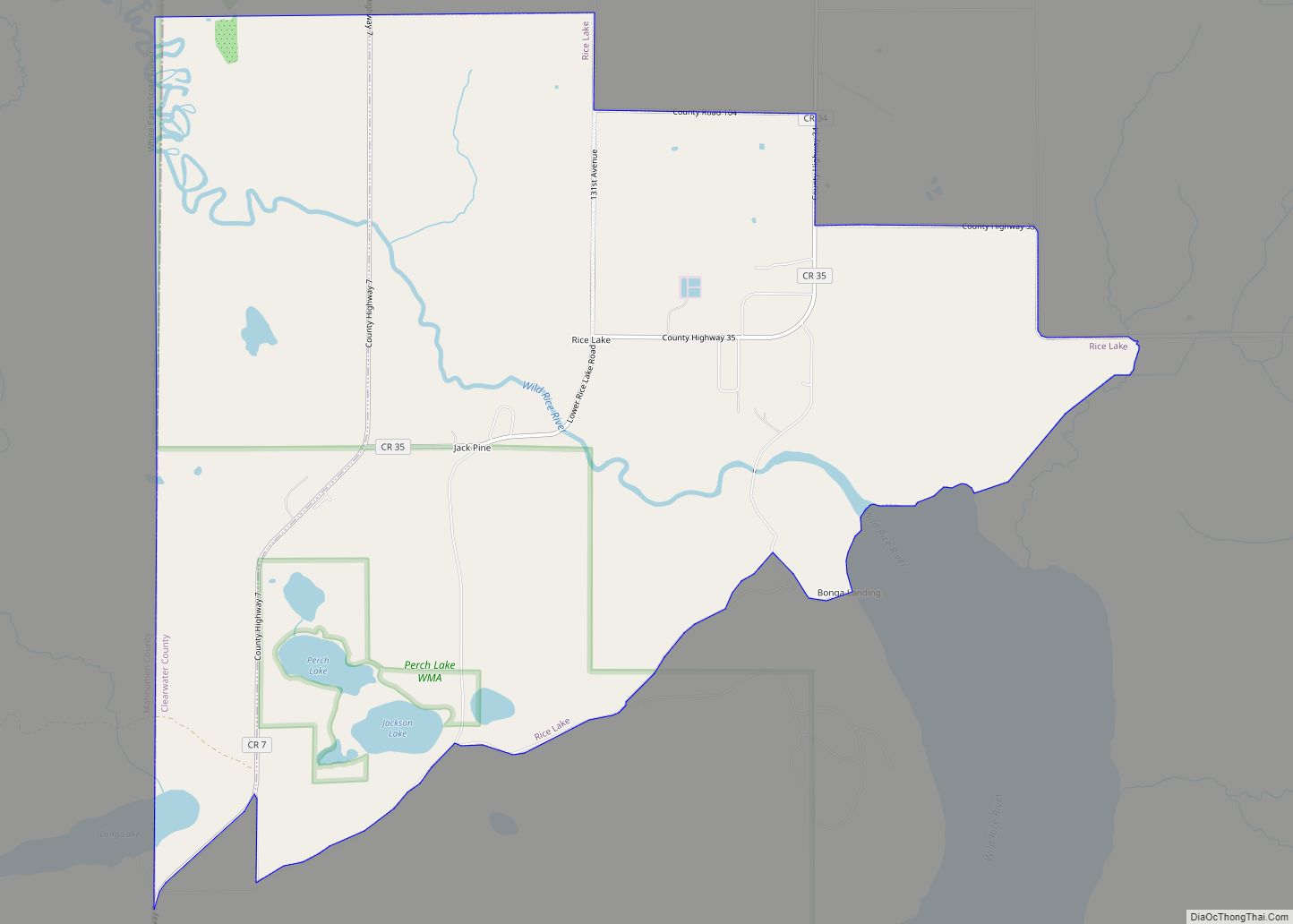
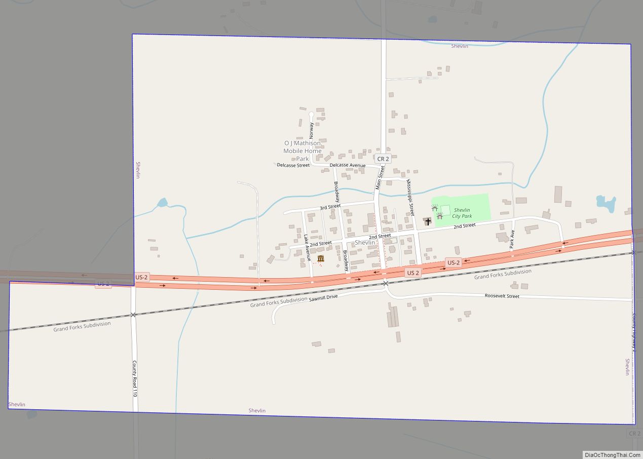
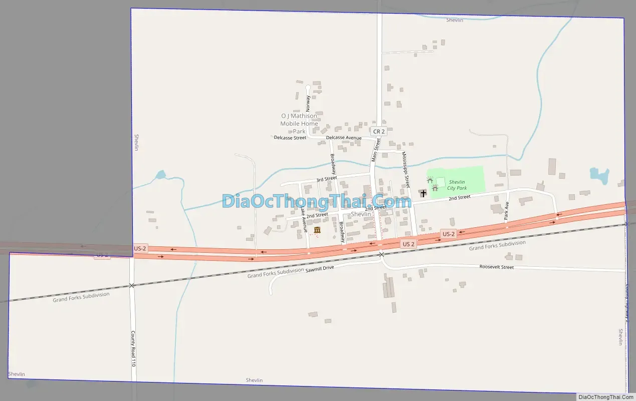
Online Interactive Map
Click on ![]() to view map in "full screen" mode.
to view map in "full screen" mode.
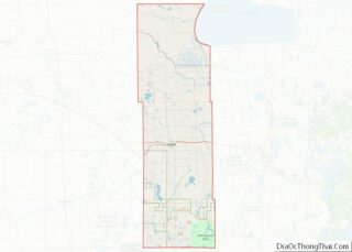
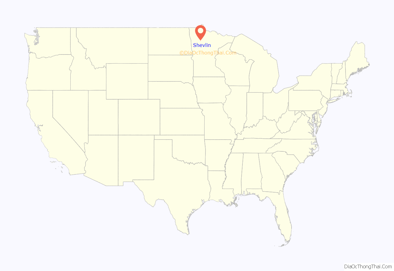
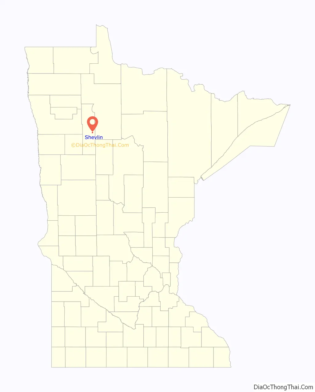
Shevlin location map. Where is Shevlin city?
History
Shevlin was founded as a logging camp in the late 19th century. The town was named after Thomas H. Shevlin (1852-1912), a lumber baron. Shevlin resides in Clearwater County which seceded from Beltrami County. Shortly after Shevlin made a bid to be the county seat for the new county but the town’s folk were defeated in the general election and the county seat went Bagley. Boasting a robust economy the streets of Shevlin were lined with shops, blacksmiths, saloons, hotels, casinos, brothels, and livery stables, a fire claimed most of these buildings in 1904 and again in 1911. Other businesses have made Shevlin their base of operations as well. They include Shevlin cooperative creamery, the locker plant, a saw mill, The co-op oil station, a box factory, several general, hardware and drug stores, three saloons a couple of restaurants, a newspaper, a millinery, barbershop, and doctors’ offices. The local Ojibwe needing a name to call this new community in the area started to call Shevlin as Gwaaba’andaawangaakwa’igaang meaning “at where one is shoveling sand” where “shoveling” was a play on words with the City’s English name.
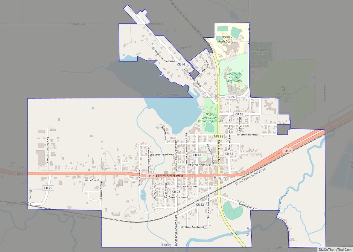
Shevlin Road Map
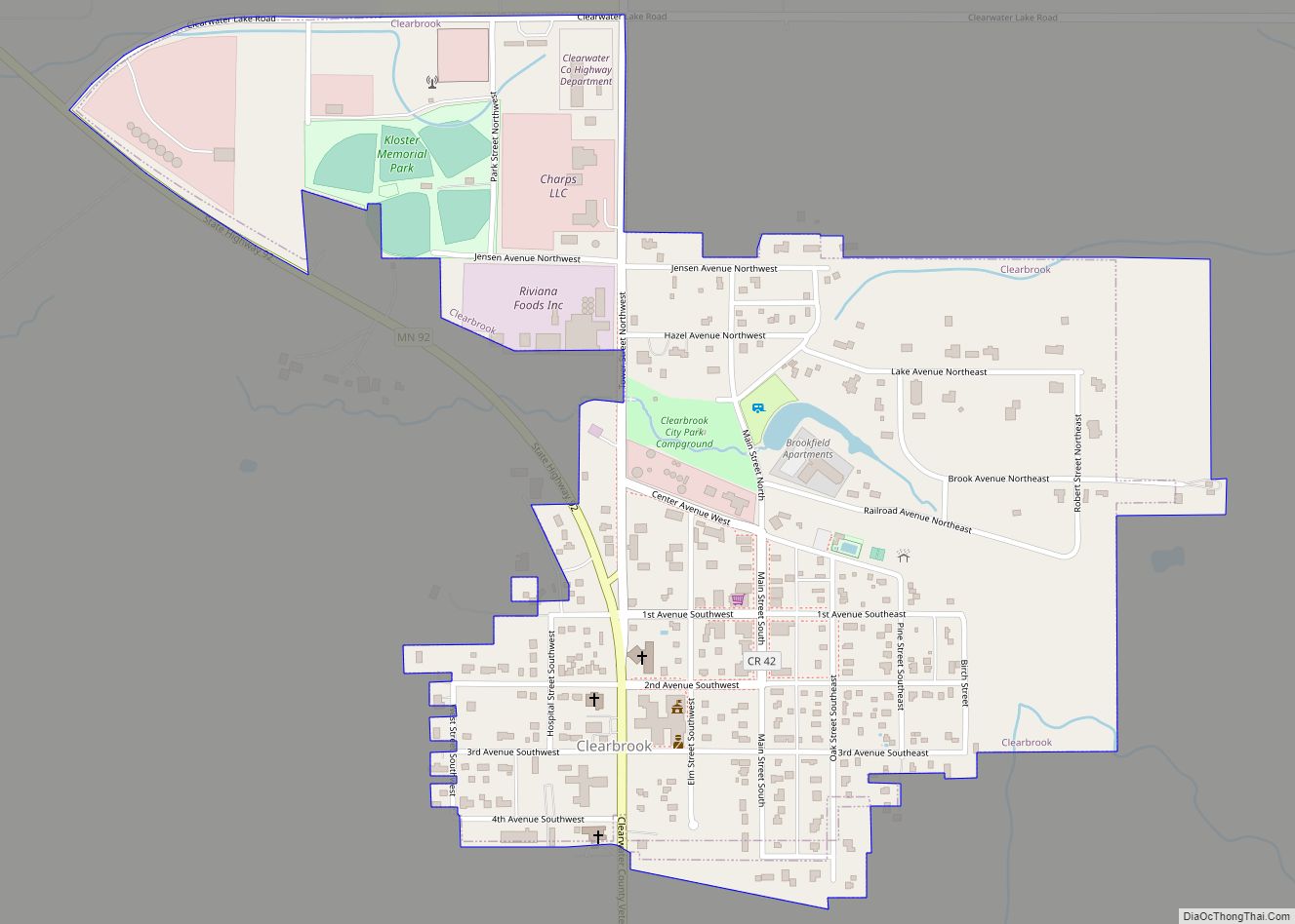
Shevlin city Satellite Map

Geography
According to the United States Census Bureau, the city has a total area of 0.80 square miles (2.07 km), all land.
Shevlin is along U.S. Highway 2. It is six miles east of Bagley, and 20 miles west of Bemidji.
See also
Map of Minnesota State and its subdivision:- Aitkin
- Anoka
- Becker
- Beltrami
- Benton
- Big Stone
- Blue Earth
- Brown
- Carlton
- Carver
- Cass
- Chippewa
- Chisago
- Clay
- Clearwater
- Cook
- Cottonwood
- Crow Wing
- Dakota
- Dodge
- Douglas
- Faribault
- Fillmore
- Freeborn
- Goodhue
- Grant
- Hennepin
- Houston
- Hubbard
- Isanti
- Itasca
- Jackson
- Kanabec
- Kandiyohi
- Kittson
- Koochiching
- Lac qui Parle
- Lake
- Lake of the Woods
- Lake Superior
- Le Sueur
- Lincoln
- Lyon
- Mahnomen
- Marshall
- Martin
- McLeod
- Meeker
- Mille Lacs
- Morrison
- Mower
- Murray
- Nicollet
- Nobles
- Norman
- Olmsted
- Otter Tail
- Pennington
- Pine
- Pipestone
- Polk
- Pope
- Ramsey
- Red Lake
- Redwood
- Renville
- Rice
- Rock
- Roseau
- Saint Louis
- Scott
- Sherburne
- Sibley
- Stearns
- Steele
- Stevens
- Swift
- Todd
- Traverse
- Wabasha
- Wadena
- Waseca
- Washington
- Watonwan
- Wilkin
- Winona
- Wright
- Yellow Medicine
- Alabama
- Alaska
- Arizona
- Arkansas
- California
- Colorado
- Connecticut
- Delaware
- District of Columbia
- Florida
- Georgia
- Hawaii
- Idaho
- Illinois
- Indiana
- Iowa
- Kansas
- Kentucky
- Louisiana
- Maine
- Maryland
- Massachusetts
- Michigan
- Minnesota
- Mississippi
- Missouri
- Montana
- Nebraska
- Nevada
- New Hampshire
- New Jersey
- New Mexico
- New York
- North Carolina
- North Dakota
- Ohio
- Oklahoma
- Oregon
- Pennsylvania
- Rhode Island
- South Carolina
- South Dakota
- Tennessee
- Texas
- Utah
- Vermont
- Virginia
- Washington
- West Virginia
- Wisconsin
- Wyoming