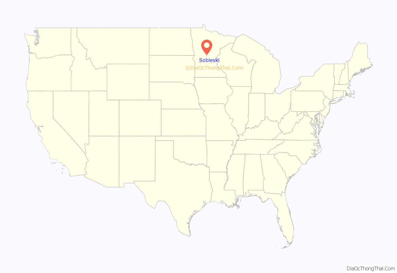
Sobieski is a city in Morrison County, Minnesota, United States. The population was 210 at the 2020 census.
| Name: | Sobieski city |
|---|---|
| LSAD Code: | 25 |
| LSAD Description: | city (suffix) |
| State: | Minnesota |
| County: | Morrison County |
| Elevation: | 1,135 ft (346 m) |
| Total Area: | 4.00 sq mi (10.36 km²) |
| Land Area: | 4.00 sq mi (10.36 km²) |
| Water Area: | 0.00 sq mi (0.00 km²) |
| Total Population: | 210 |
| Population Density: | 52.50/sq mi (20.27/km²) |
| Area code: | 320 |
| FIPS code: | 2761006 |
| GNISfeature ID: | 0652216 |
Online Interactive Map
Click on ![]() to view map in "full screen" mode.
to view map in "full screen" mode.
Sobieski location map. Where is Sobieski city?
History
Sobieski was named after Polish Hero King John III Sobieski.
The House of Sobieski was a noble family with a prominent role in Polish history, and the choice of name reflects the large Polish American element in the town’s population.
SOBIESKI, a city in sections 3-9 of Swan River Township, was incorporated as a village on December 2, 1915, and separated from the township on June 10, 1920. It was developed on the site of earlier communities; the first was a post office in section 4, 1875–1904, called Ledoux for Frank X. Ledoux, who owned a store and was first postmaster; the community was then called Swan River, although that post office, 1854–79, was established in Benton County, the name continuing until 1918 when changed to Sobieski for Prince Sobieski, hero of Poland; Swan River was also known as Green’s Ferry and Aitkinsville, the latter because William A. Aitkin, the fur trader for whom Aitkin County was named, is buried there.
Courtesy Minnesota Historical Society
From what can be gathered, as many of the local people are of Kashubian-Polish Heritage, the naming of the community for Jan Sobieski is fitting for his association with the Kashubian Polish Hussars in defeating the Ottomans.
Sobieski Road Map
Sobieski city Satellite Map
Geography
According to the United States Census Bureau, the city has a total area of 4.17 square miles (10.80 km), all land.
See also
Map of Minnesota State and its subdivision:- Aitkin
- Anoka
- Becker
- Beltrami
- Benton
- Big Stone
- Blue Earth
- Brown
- Carlton
- Carver
- Cass
- Chippewa
- Chisago
- Clay
- Clearwater
- Cook
- Cottonwood
- Crow Wing
- Dakota
- Dodge
- Douglas
- Faribault
- Fillmore
- Freeborn
- Goodhue
- Grant
- Hennepin
- Houston
- Hubbard
- Isanti
- Itasca
- Jackson
- Kanabec
- Kandiyohi
- Kittson
- Koochiching
- Lac qui Parle
- Lake
- Lake of the Woods
- Lake Superior
- Le Sueur
- Lincoln
- Lyon
- Mahnomen
- Marshall
- Martin
- McLeod
- Meeker
- Mille Lacs
- Morrison
- Mower
- Murray
- Nicollet
- Nobles
- Norman
- Olmsted
- Otter Tail
- Pennington
- Pine
- Pipestone
- Polk
- Pope
- Ramsey
- Red Lake
- Redwood
- Renville
- Rice
- Rock
- Roseau
- Saint Louis
- Scott
- Sherburne
- Sibley
- Stearns
- Steele
- Stevens
- Swift
- Todd
- Traverse
- Wabasha
- Wadena
- Waseca
- Washington
- Watonwan
- Wilkin
- Winona
- Wright
- Yellow Medicine
- Alabama
- Alaska
- Arizona
- Arkansas
- California
- Colorado
- Connecticut
- Delaware
- District of Columbia
- Florida
- Georgia
- Hawaii
- Idaho
- Illinois
- Indiana
- Iowa
- Kansas
- Kentucky
- Louisiana
- Maine
- Maryland
- Massachusetts
- Michigan
- Minnesota
- Mississippi
- Missouri
- Montana
- Nebraska
- Nevada
- New Hampshire
- New Jersey
- New Mexico
- New York
- North Carolina
- North Dakota
- Ohio
- Oklahoma
- Oregon
- Pennsylvania
- Rhode Island
- South Carolina
- South Dakota
- Tennessee
- Texas
- Utah
- Vermont
- Virginia
- Washington
- West Virginia
- Wisconsin
- Wyoming


