Starbuck is a city in Pope County, Minnesota, United States. The population was 1,365 at the 2020 census. The city is on the western shore of Lake Minnewaska.
| Name: | Starbuck city |
|---|---|
| LSAD Code: | 25 |
| LSAD Description: | city (suffix) |
| State: | Minnesota |
| County: | Pope County |
| Elevation: | 1,171 ft (357 m) |
| Total Area: | 1.48 sq mi (3.83 km²) |
| Land Area: | 1.48 sq mi (3.83 km²) |
| Water Area: | 0.00 sq mi (0.00 km²) |
| Total Population: | 1,365 |
| Population Density: | 922.30/sq mi (356.12/km²) |
| ZIP code: | 56381 |
| Area code: | 320 |
| FIPS code: | 2762500 |
| GNISfeature ID: | 0652561 |
| Website: | starbuckcitygov.com |
Online Interactive Map
Click on ![]() to view map in "full screen" mode.
to view map in "full screen" mode.
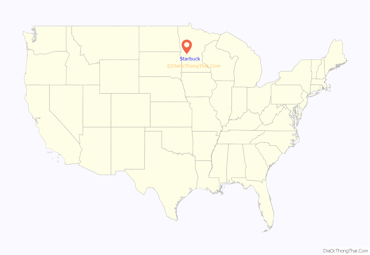
Starbuck location map. Where is Starbuck city?
History
Starbuck was platted in the spring of 1882, as a village on the Northern Pacific railway, adjoining Lake Minnewaska. The growth and settlement of Pope County were greatly retarded for many years by the lack of railway and shipping facilities, which obliged settlers to go long distances into adjoining counties to market their products.
The town was reportedly named after Stabekk in Bærum in Akershus county, Norway. But Geographical Names of Manitoba says the village of Starbuck, Manitoba, is thought to have been named after the town in Minnesota by a contractor working for the Canadian Pacific Railway in 1885, and that Starbuck, Minnesota, was named after William H. Starbuck of New York, who financed the Little Falls and Dakota Railroad. Some also believe the town’s name comes from the oxen used to build the railroad through the town, whose names were Star and Buck.
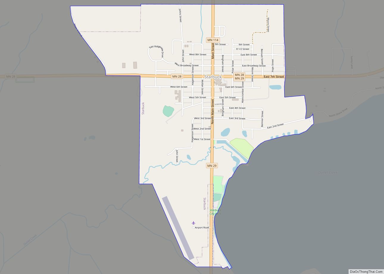
Starbuck Road Map
Starbuck city Satellite Map
Geography
Minnesota State Highways 28, 29, and 114 are three of Starbuck’s main routes.
According to the United States Census Bureau, the city has an area of 1.57 square miles (4.07 km), all land.
See also
Map of Minnesota State and its subdivision:- Aitkin
- Anoka
- Becker
- Beltrami
- Benton
- Big Stone
- Blue Earth
- Brown
- Carlton
- Carver
- Cass
- Chippewa
- Chisago
- Clay
- Clearwater
- Cook
- Cottonwood
- Crow Wing
- Dakota
- Dodge
- Douglas
- Faribault
- Fillmore
- Freeborn
- Goodhue
- Grant
- Hennepin
- Houston
- Hubbard
- Isanti
- Itasca
- Jackson
- Kanabec
- Kandiyohi
- Kittson
- Koochiching
- Lac qui Parle
- Lake
- Lake of the Woods
- Lake Superior
- Le Sueur
- Lincoln
- Lyon
- Mahnomen
- Marshall
- Martin
- McLeod
- Meeker
- Mille Lacs
- Morrison
- Mower
- Murray
- Nicollet
- Nobles
- Norman
- Olmsted
- Otter Tail
- Pennington
- Pine
- Pipestone
- Polk
- Pope
- Ramsey
- Red Lake
- Redwood
- Renville
- Rice
- Rock
- Roseau
- Saint Louis
- Scott
- Sherburne
- Sibley
- Stearns
- Steele
- Stevens
- Swift
- Todd
- Traverse
- Wabasha
- Wadena
- Waseca
- Washington
- Watonwan
- Wilkin
- Winona
- Wright
- Yellow Medicine
- Alabama
- Alaska
- Arizona
- Arkansas
- California
- Colorado
- Connecticut
- Delaware
- District of Columbia
- Florida
- Georgia
- Hawaii
- Idaho
- Illinois
- Indiana
- Iowa
- Kansas
- Kentucky
- Louisiana
- Maine
- Maryland
- Massachusetts
- Michigan
- Minnesota
- Mississippi
- Missouri
- Montana
- Nebraska
- Nevada
- New Hampshire
- New Jersey
- New Mexico
- New York
- North Carolina
- North Dakota
- Ohio
- Oklahoma
- Oregon
- Pennsylvania
- Rhode Island
- South Carolina
- South Dakota
- Tennessee
- Texas
- Utah
- Vermont
- Virginia
- Washington
- West Virginia
- Wisconsin
- Wyoming
