Taconite is a city in Itasca County, Minnesota, United States. The population was 360 at the 2010 census.
U.S. Highway 169 serves as a main route in the community.
| Name: | Taconite city |
|---|---|
| LSAD Code: | 25 |
| LSAD Description: | city (suffix) |
| State: | Minnesota |
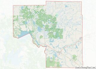
| County: | Itasca County |
| Elevation: | 1,401 ft (427 m) |
| Total Area: | 29.62 sq mi (76.72 km²) |
| Land Area: | 27.97 sq mi (72.45 km²) |
| Water Area: | 1.65 sq mi (4.28 km²) |
| Total Population: | 651 |
| Population Density: | 23.27/sq mi (8.99/km²) |
| ZIP code: | 55786 |
| Area code: | 218 |
| FIPS code: | 2764048 |
| GNISfeature ID: | 0658590 |
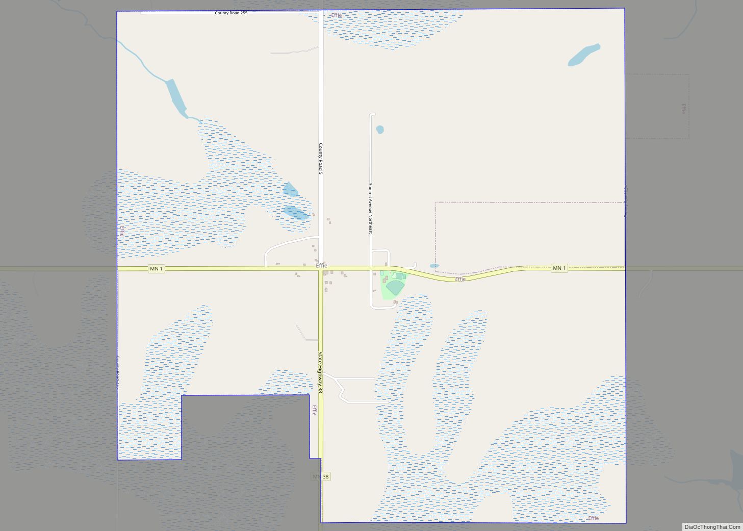
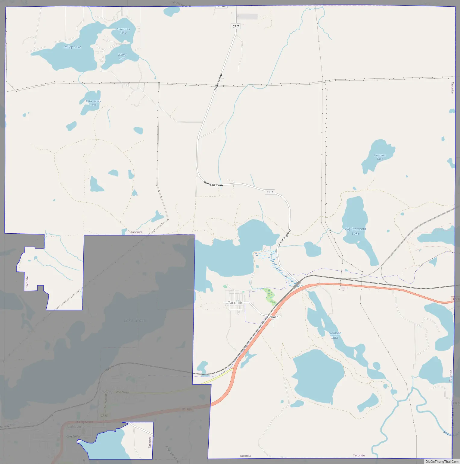
Online Interactive Map
Click on ![]() to view map in "full screen" mode.
to view map in "full screen" mode.
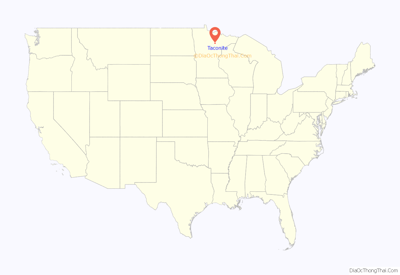
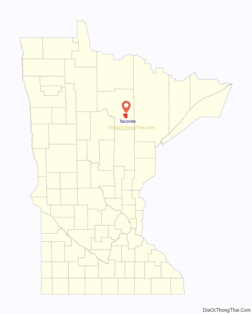
Taconite location map. Where is Taconite city?
History
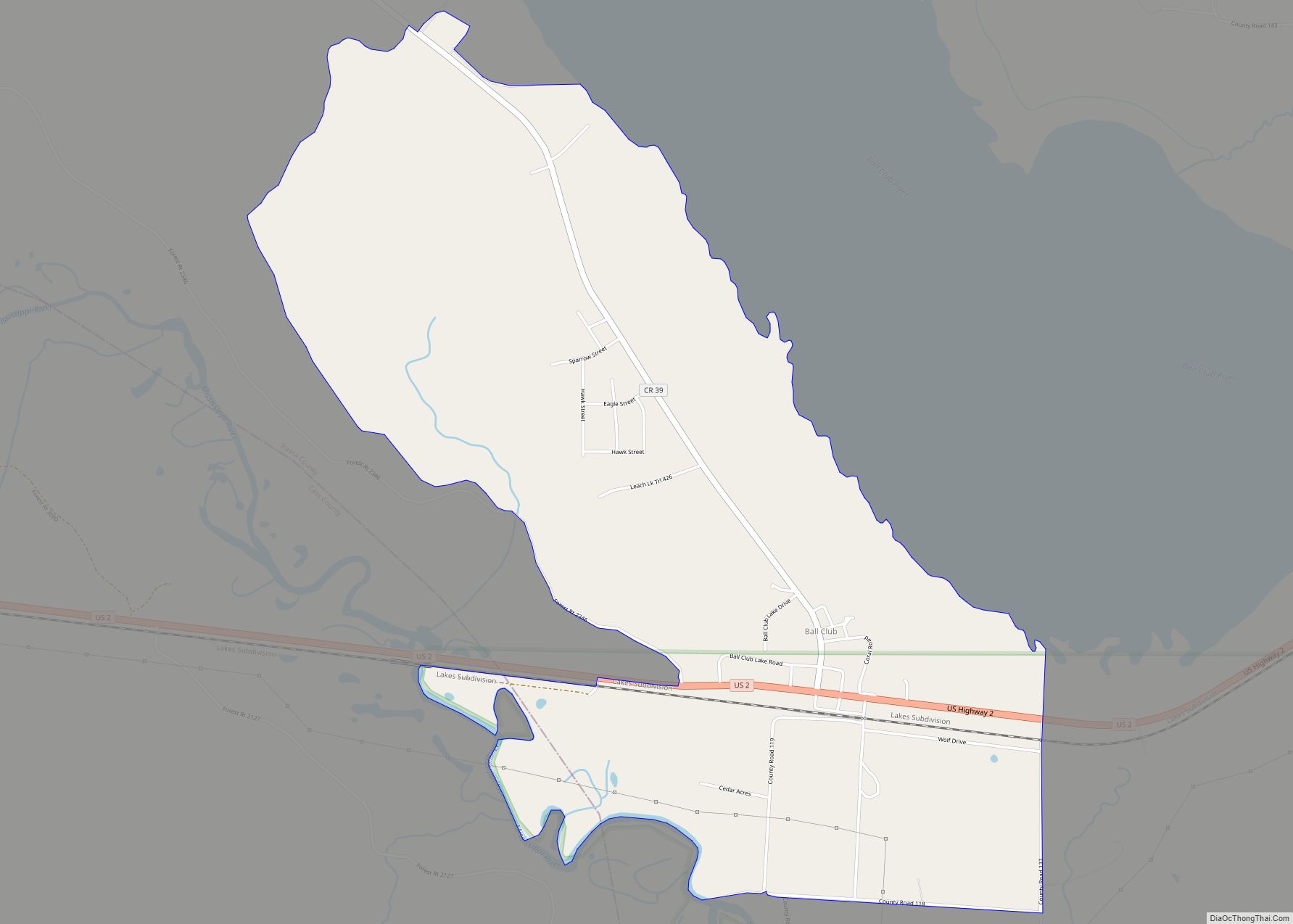
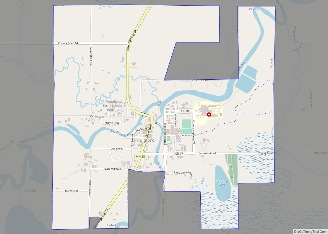
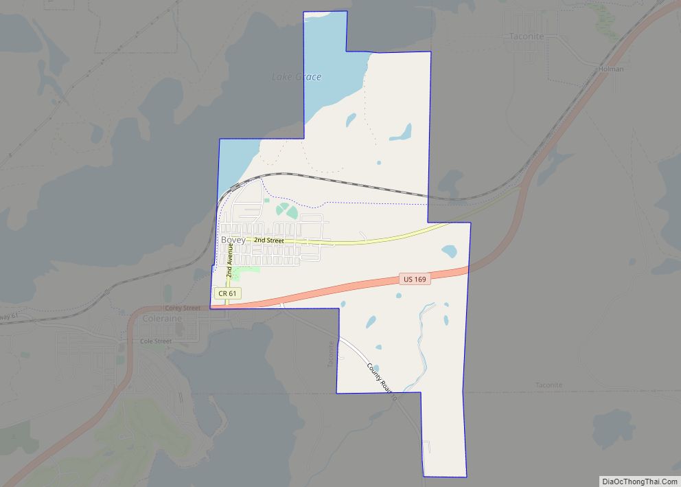
Taconite was established in 1907 and is one of several whistlestop cities located on Highway 169 collectively known as ‘Range Cities’. These cities were branded as such when they sprang up in parallel with the nearby iron mining operations that began in Coleraine and headed in a northeasterly direction. The mines and cities comprise part of what is known as Minnesota’s Iron Range, specifically the Mesabi Range.
Taconite is a derivation of the word Taconic, which is related to the Taconic Mountains of the eastern United States and contain similar geologic formations. ‘Taconic’ is based on a Native American word, documented in use as early as 1685, and spelled a number of ways including:
– Tachkanick – Taghconic – K’takantshan – Tachanizen – Tackinick – Tocconuc – Taughkaughnick – Taghonic – Toghconnuck – Taconick – Toghconnuc – Tacon’ic – Taghkan’nuc – Taconyte – Taghkanick and – Tac’onite
Taconite abuts what was originally called the Holman Mine, with independently operated mines located on either side of the city.
With closure of the mines, the withdrawal of dewatering equipment led to rain, runoff and underground springs raising water levels in the nearby mine pits. The abandoned pits that surround Taconite – including the Holman Mine—have been filled and joined into what is now called the Canisteo Mine complex.
Taconite Road Map
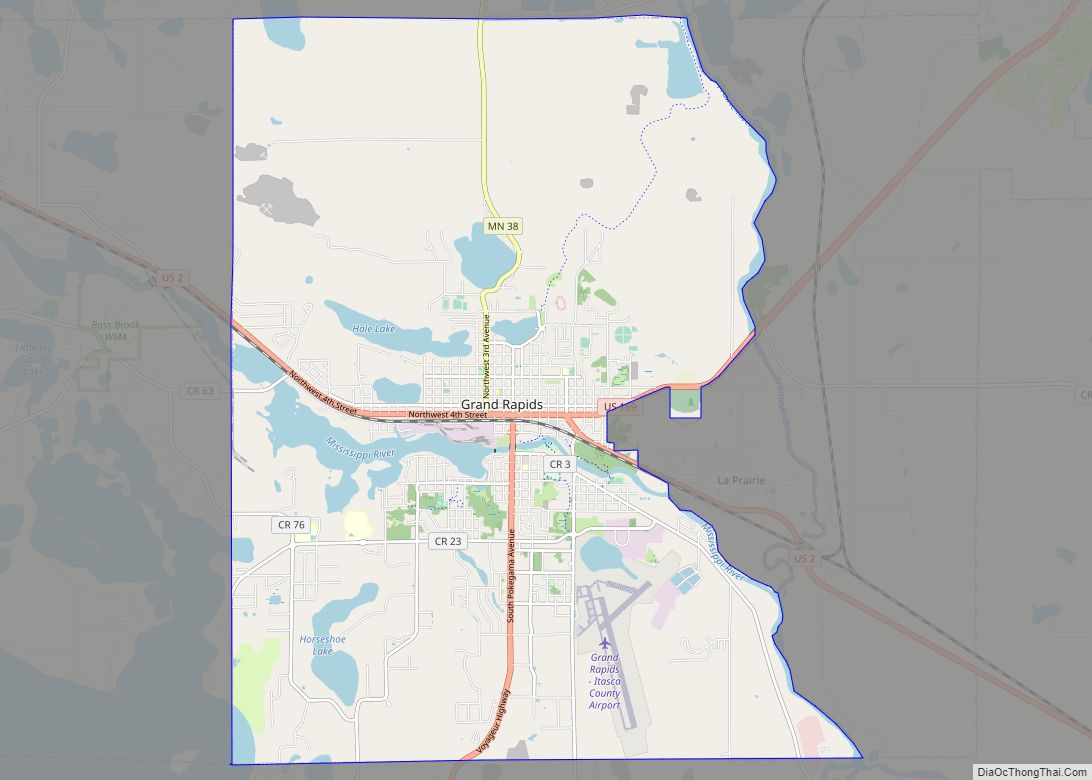
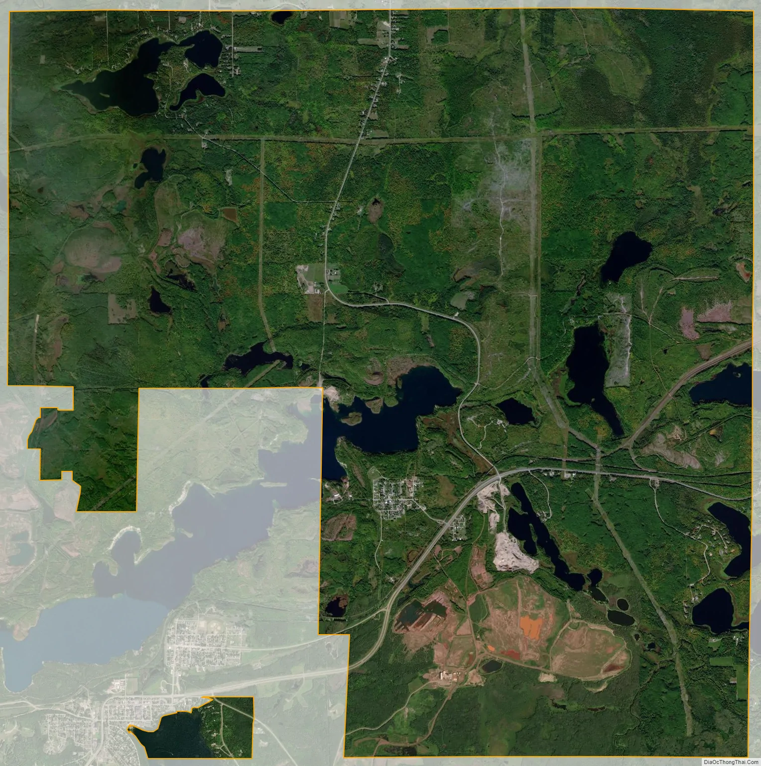
Taconite city Satellite Map
Geography
According to the United States Census Bureau, the city has a total area of 20.62 square miles (53.41 km), of which 19.91 square miles (51.57 km) is land and 0.71 square miles (1.84 km) is water.
Taconite is located adjacent to the Cannisteo mine pit. It was established in 1907 and refers to itself as the “Hub of the Nation”.
See also
Map of Minnesota State and its subdivision:- Aitkin
- Anoka
- Becker
- Beltrami
- Benton
- Big Stone
- Blue Earth
- Brown
- Carlton
- Carver
- Cass
- Chippewa
- Chisago
- Clay
- Clearwater
- Cook
- Cottonwood
- Crow Wing
- Dakota
- Dodge
- Douglas
- Faribault
- Fillmore
- Freeborn
- Goodhue
- Grant
- Hennepin
- Houston
- Hubbard
- Isanti
- Itasca
- Jackson
- Kanabec
- Kandiyohi
- Kittson
- Koochiching
- Lac qui Parle
- Lake
- Lake of the Woods
- Lake Superior
- Le Sueur
- Lincoln
- Lyon
- Mahnomen
- Marshall
- Martin
- McLeod
- Meeker
- Mille Lacs
- Morrison
- Mower
- Murray
- Nicollet
- Nobles
- Norman
- Olmsted
- Otter Tail
- Pennington
- Pine
- Pipestone
- Polk
- Pope
- Ramsey
- Red Lake
- Redwood
- Renville
- Rice
- Rock
- Roseau
- Saint Louis
- Scott
- Sherburne
- Sibley
- Stearns
- Steele
- Stevens
- Swift
- Todd
- Traverse
- Wabasha
- Wadena
- Waseca
- Washington
- Watonwan
- Wilkin
- Winona
- Wright
- Yellow Medicine
- Alabama
- Alaska
- Arizona
- Arkansas
- California
- Colorado
- Connecticut
- Delaware
- District of Columbia
- Florida
- Georgia
- Hawaii
- Idaho
- Illinois
- Indiana
- Iowa
- Kansas
- Kentucky
- Louisiana
- Maine
- Maryland
- Massachusetts
- Michigan
- Minnesota
- Mississippi
- Missouri
- Montana
- Nebraska
- Nevada
- New Hampshire
- New Jersey
- New Mexico
- New York
- North Carolina
- North Dakota
- Ohio
- Oklahoma
- Oregon
- Pennsylvania
- Rhode Island
- South Carolina
- South Dakota
- Tennessee
- Texas
- Utah
- Vermont
- Virginia
- Washington
- West Virginia
- Wisconsin
- Wyoming