Taunton is a city in Lyon County, Minnesota, United States. The population was 139 at the 2010 census.
| Name: | Taunton city |
|---|---|
| LSAD Code: | 25 |
| LSAD Description: | city (suffix) |
| State: | Minnesota |
| County: | Lyon County |
| Elevation: | 1,175 ft (358 m) |
| Total Area: | 1.01 sq mi (2.61 km²) |
| Land Area: | 1.01 sq mi (2.61 km²) |
| Water Area: | 0.00 sq mi (0.00 km²) |
| Total Population: | 136 |
| Population Density: | 135.05/sq mi (52.15/km²) |
| ZIP code: | 56291 |
| Area code: | 507 |
| FIPS code: | 2764264 |
| GNISfeature ID: | 0653041 |
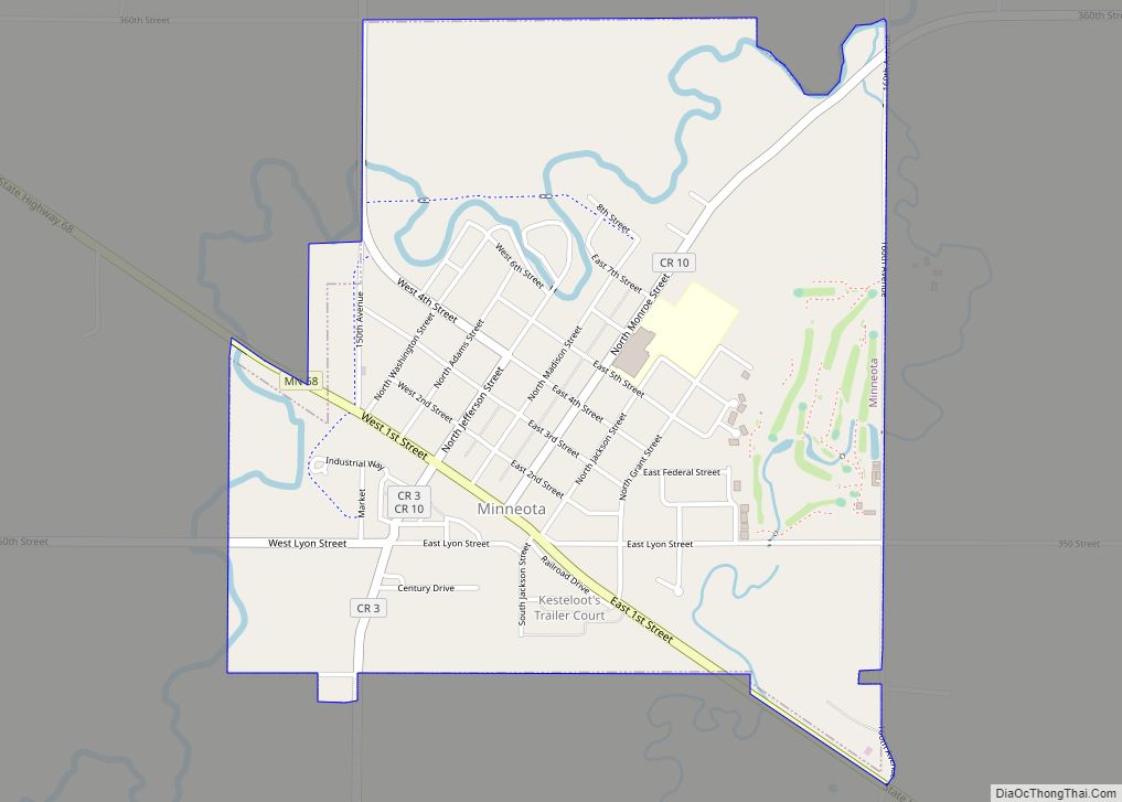
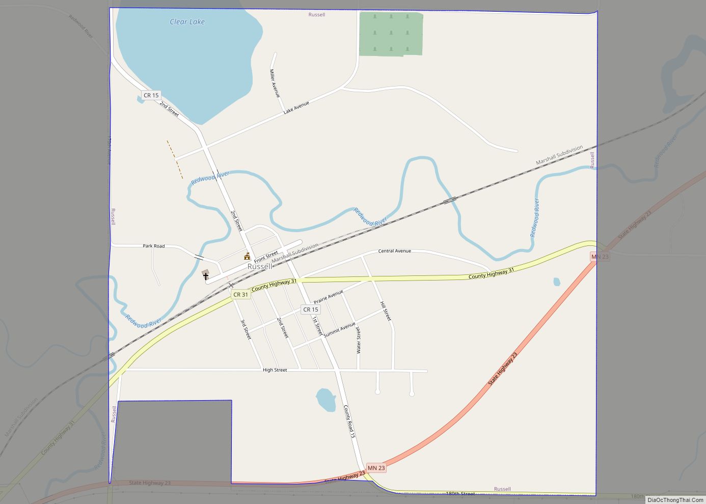
Online Interactive Map
Click on ![]() to view map in "full screen" mode.
to view map in "full screen" mode.
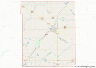
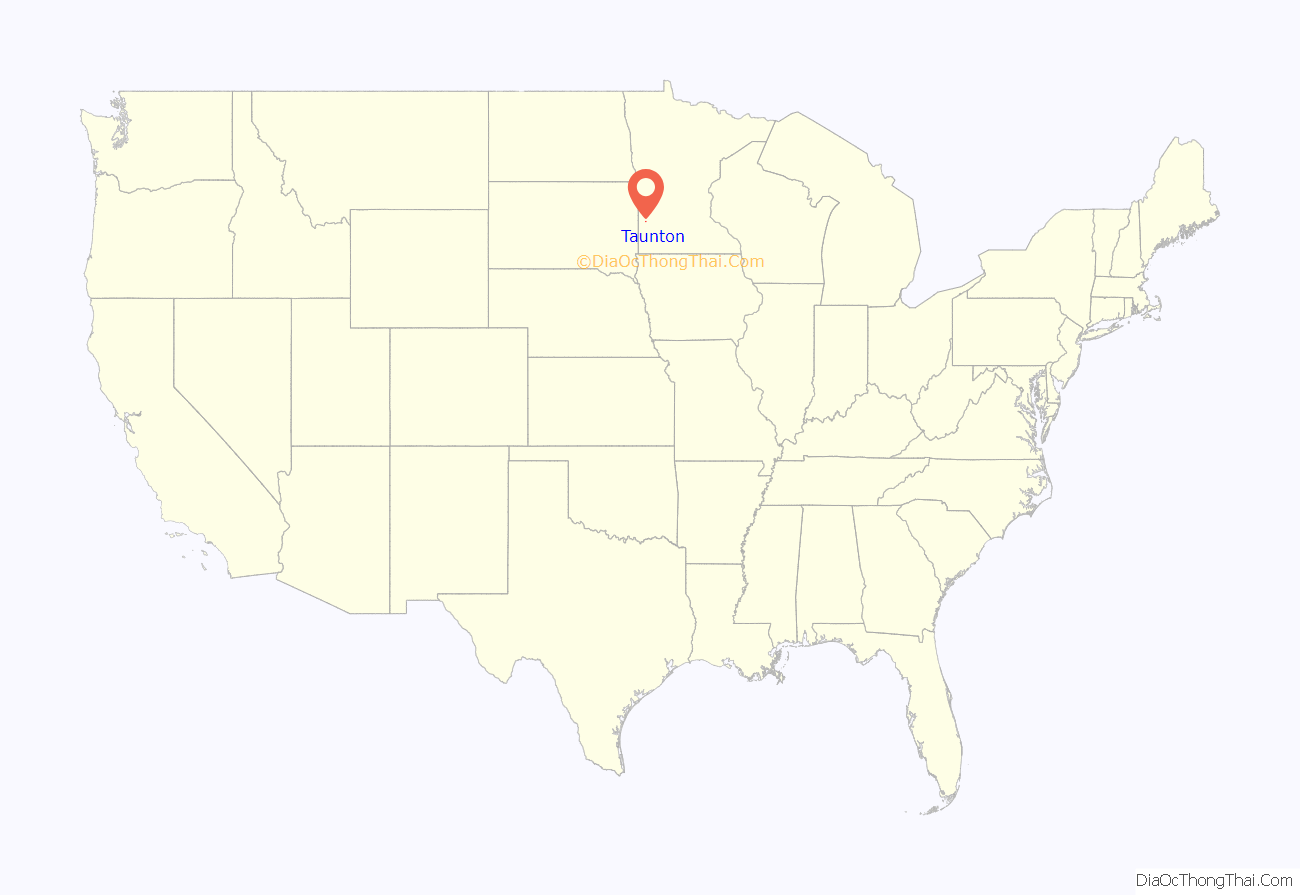
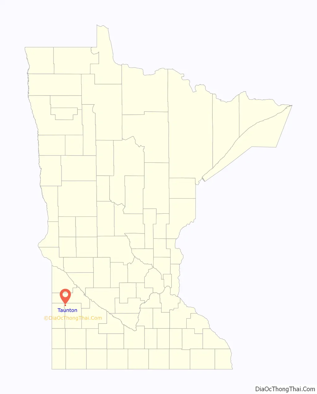
Taunton location map. Where is Taunton city?
History
Taunton was platted in 1886 by the railroad. It was named after Taunton, Massachusetts. A post office has been in operation in Taunton since 1888. Taunton was incorporated in 1900. Celebrating 100 years of landmark buildings, this commemorative plate was designed by Nancy Koch titled “Taunton’s Hundred Years 1886 – 1986. The commemorative plate depicts eight buildings; Public School – First school built in 1889, Taunton City Hall – Organized, Taunton Fire Station – Built in 1907, Beck’s Hardware – Built in 1903, Taunton State Bank – Built in 1905, STS Cyril and Methodius – Built in 1895, STS Cyril and Methodius Rectory – Built in 1905, Ray’s Standard – Built in 1927, Co-op Elevator – Organized in 1911.
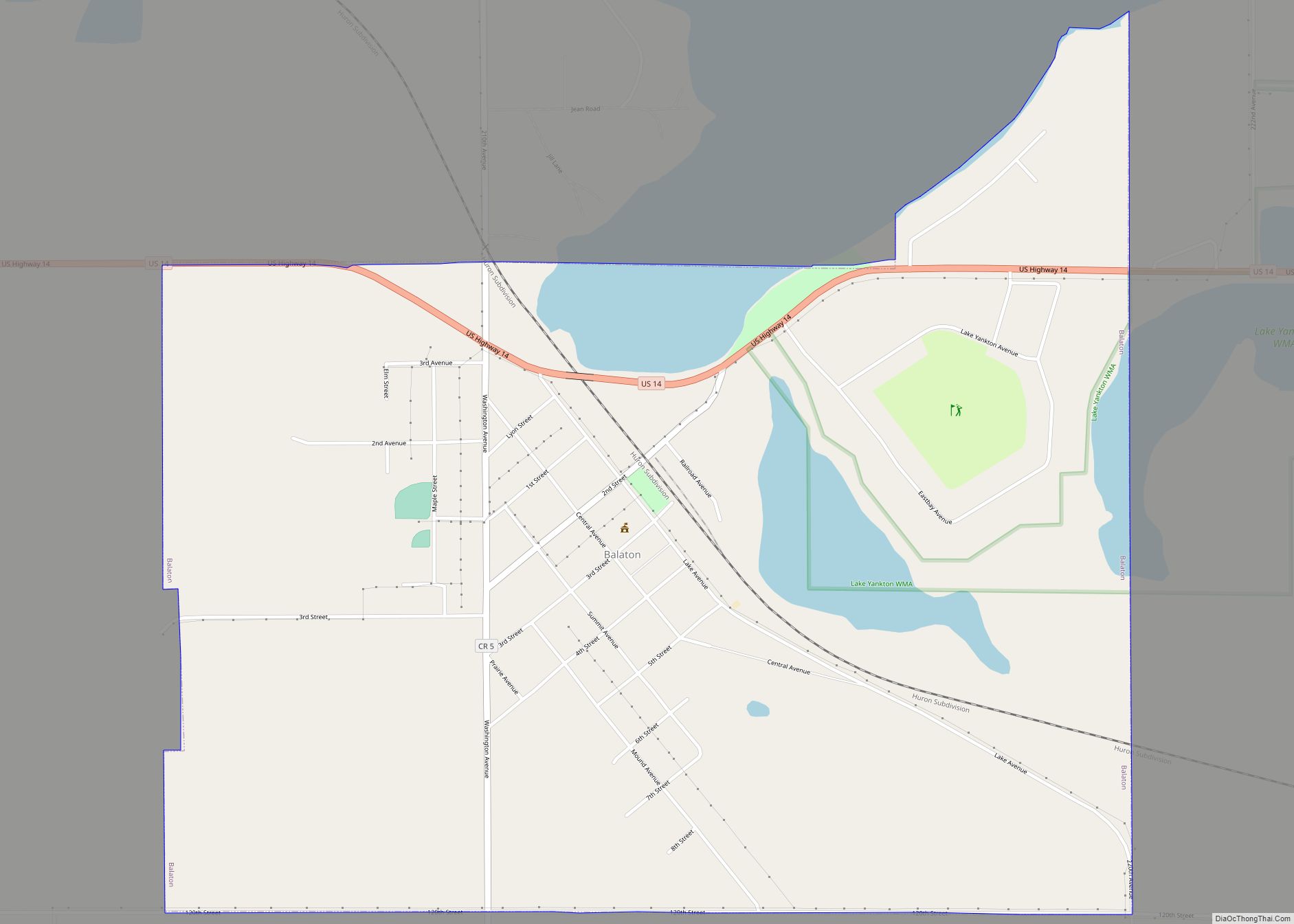
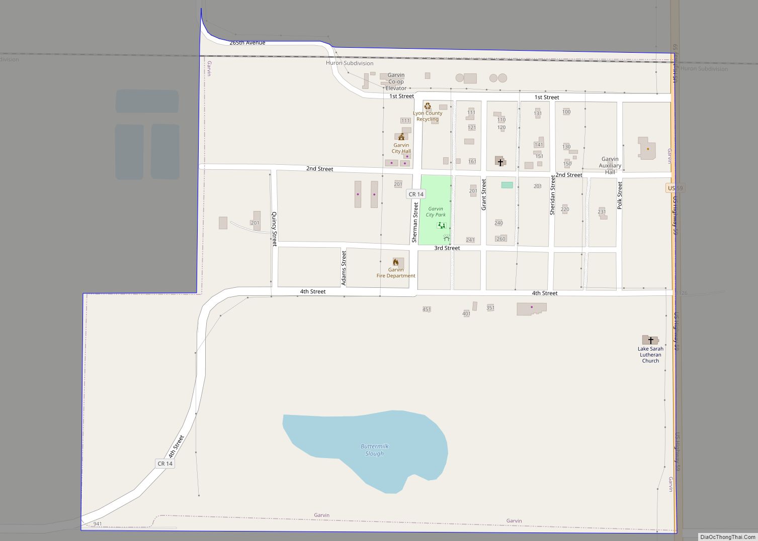
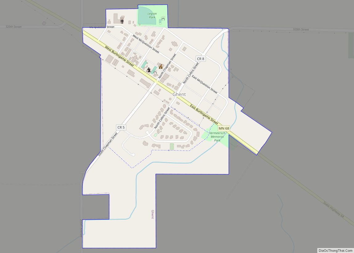
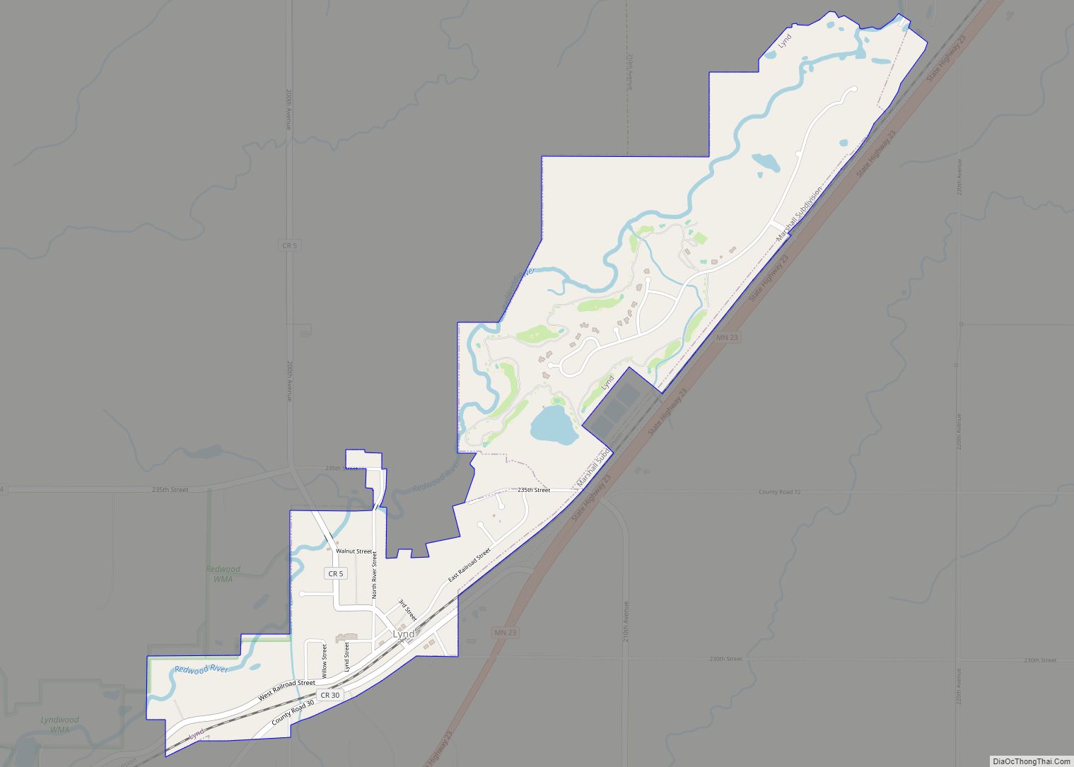
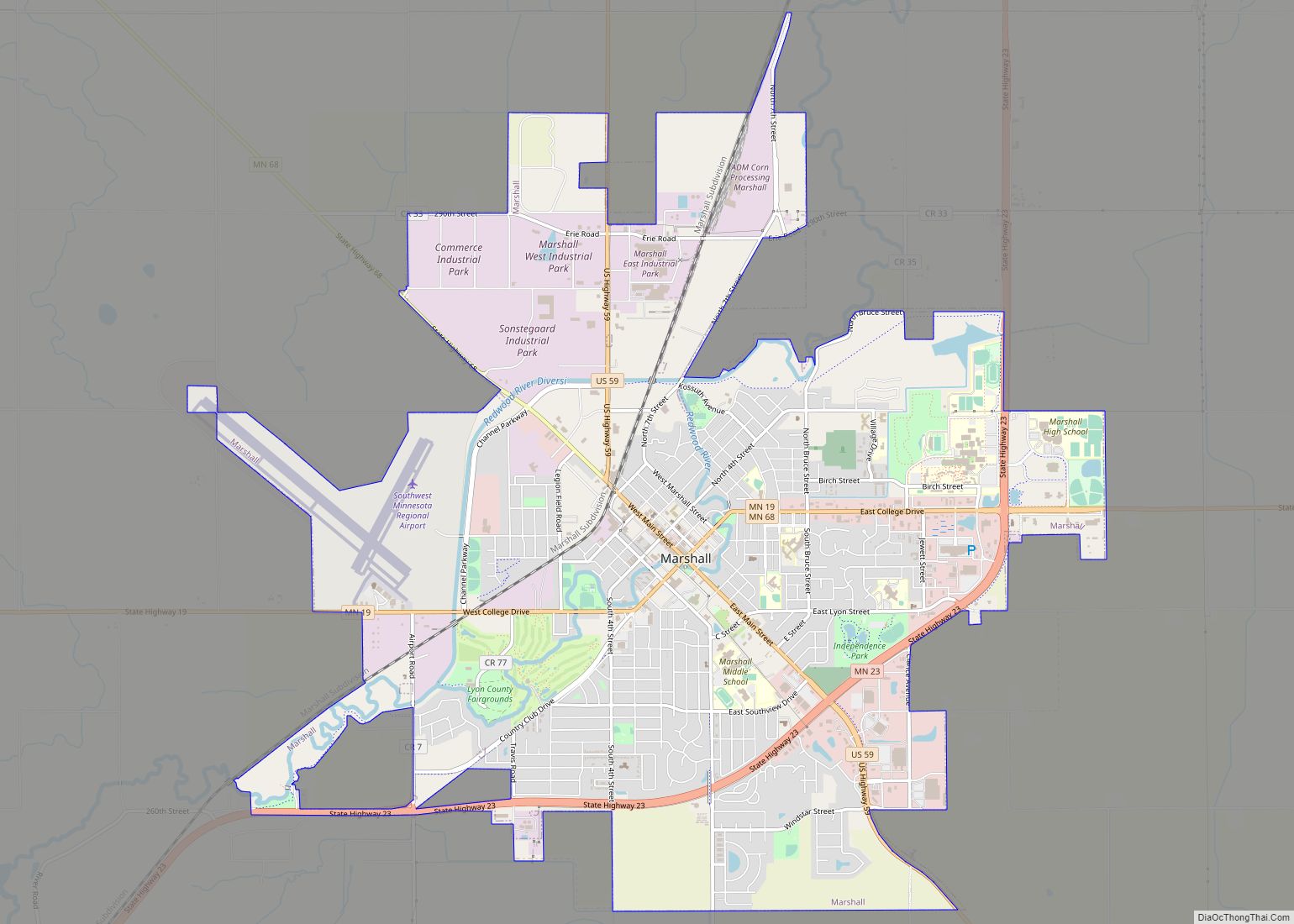
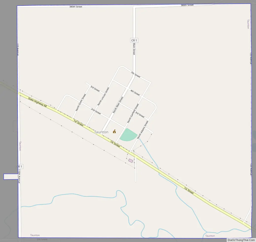
Taunton Road Map
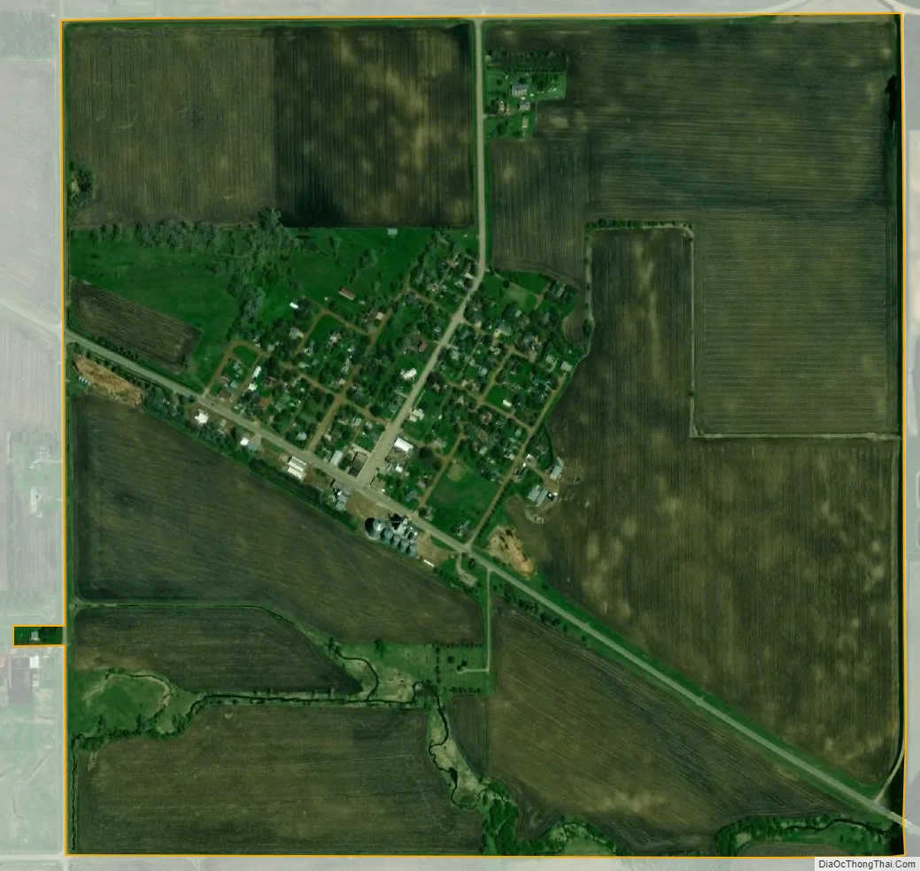
Taunton city Satellite Map
Geography
According to the United States Census Bureau, the city has a total area of 1.01 square miles (2.62 km), all land.
See also
Map of Minnesota State and its subdivision:- Aitkin
- Anoka
- Becker
- Beltrami
- Benton
- Big Stone
- Blue Earth
- Brown
- Carlton
- Carver
- Cass
- Chippewa
- Chisago
- Clay
- Clearwater
- Cook
- Cottonwood
- Crow Wing
- Dakota
- Dodge
- Douglas
- Faribault
- Fillmore
- Freeborn
- Goodhue
- Grant
- Hennepin
- Houston
- Hubbard
- Isanti
- Itasca
- Jackson
- Kanabec
- Kandiyohi
- Kittson
- Koochiching
- Lac qui Parle
- Lake
- Lake of the Woods
- Lake Superior
- Le Sueur
- Lincoln
- Lyon
- Mahnomen
- Marshall
- Martin
- McLeod
- Meeker
- Mille Lacs
- Morrison
- Mower
- Murray
- Nicollet
- Nobles
- Norman
- Olmsted
- Otter Tail
- Pennington
- Pine
- Pipestone
- Polk
- Pope
- Ramsey
- Red Lake
- Redwood
- Renville
- Rice
- Rock
- Roseau
- Saint Louis
- Scott
- Sherburne
- Sibley
- Stearns
- Steele
- Stevens
- Swift
- Todd
- Traverse
- Wabasha
- Wadena
- Waseca
- Washington
- Watonwan
- Wilkin
- Winona
- Wright
- Yellow Medicine
- Alabama
- Alaska
- Arizona
- Arkansas
- California
- Colorado
- Connecticut
- Delaware
- District of Columbia
- Florida
- Georgia
- Hawaii
- Idaho
- Illinois
- Indiana
- Iowa
- Kansas
- Kentucky
- Louisiana
- Maine
- Maryland
- Massachusetts
- Michigan
- Minnesota
- Mississippi
- Missouri
- Montana
- Nebraska
- Nevada
- New Hampshire
- New Jersey
- New Mexico
- New York
- North Carolina
- North Dakota
- Ohio
- Oklahoma
- Oregon
- Pennsylvania
- Rhode Island
- South Carolina
- South Dakota
- Tennessee
- Texas
- Utah
- Vermont
- Virginia
- Washington
- West Virginia
- Wisconsin
- Wyoming