Trimont is a city in Martin County, Minnesota, United States. The population was 747 at the 2010 census. The U.S. Census Bureau estimated 2018 population is 704. The small community is located in south central Minnesota between Sherburn and St. James on Minnesota State Highway 4. Interstate 90 is nearby.
Trimont was once two different towns, platted by competing railroads. The two towns were Triumph, to the east, and Monterey to the west. These towns joined, using the first letters in each town’s name, to form what is today known as Trimont. This gives Trimont the unique characteristic of two separate Main Street business districts which are on the same street, yet placed approximately a half-mile apart.
The yearly summer festival has been known as Town & Country Days, FunFest, and the Chocolate Festival. In 2011, the planning committee decided to go back to the name FunFest. Trimont FunFest is always held the second Saturday in July. FunFest showcases local talent for its live entertainment, along with games, sporting competitions, contests, a silent auction, a parade, a community church service, and a variety of food.
| Name: | Trimont city |
|---|---|
| LSAD Code: | 25 |
| LSAD Description: | city (suffix) |
| State: | Minnesota |
| County: | Martin County |
| Elevation: | 1,220 ft (370 m) |
| Total Area: | 0.79 sq mi (2.04 km²) |
| Land Area: | 0.79 sq mi (2.04 km²) |
| Water Area: | 0.00 sq mi (0.00 km²) |
| Total Population: | 705 |
| Population Density: | 896.95/sq mi (346.40/km²) |
| ZIP code: | 56176 |
| Area code: | 507 |
| FIPS code: | 2765470 |
| GNISfeature ID: | 0653277 |
Online Interactive Map
Click on ![]() to view map in "full screen" mode.
to view map in "full screen" mode.
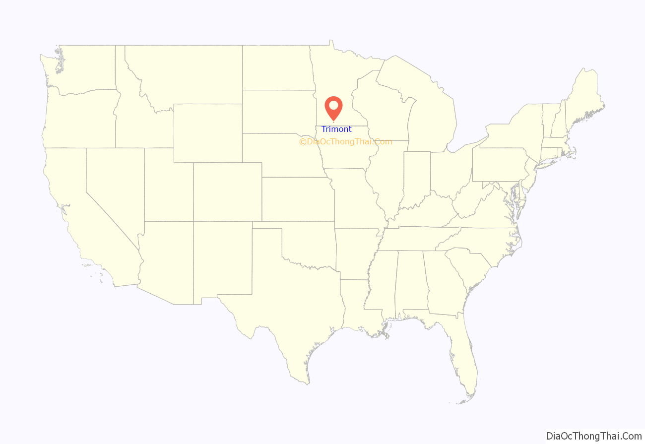
Trimont location map. Where is Trimont city?
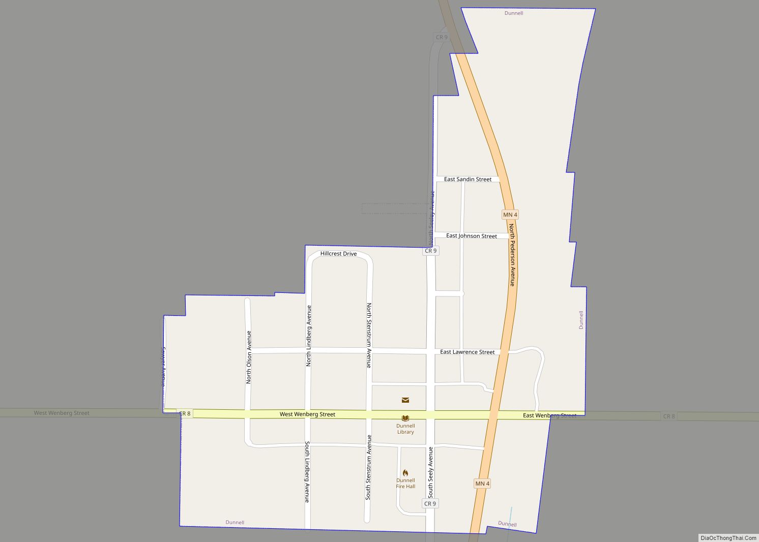
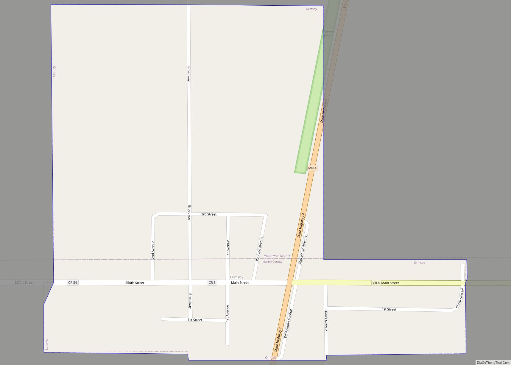
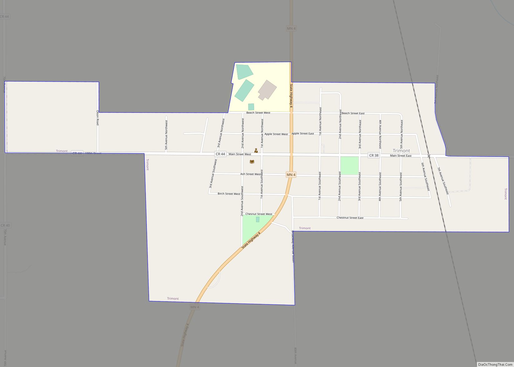
Trimont Road Map
Trimont city Satellite Map
Geography
According to the United States Census Bureau, the city has a total area of 0.74 square miles (1.92 km), all land.
Trimont was once two towns, Triumph and Monterey, but were combined by referendum in 1959 to become Trimont.
See also
Map of Minnesota State and its subdivision:- Aitkin
- Anoka
- Becker
- Beltrami
- Benton
- Big Stone
- Blue Earth
- Brown
- Carlton
- Carver
- Cass
- Chippewa
- Chisago
- Clay
- Clearwater
- Cook
- Cottonwood
- Crow Wing
- Dakota
- Dodge
- Douglas
- Faribault
- Fillmore
- Freeborn
- Goodhue
- Grant
- Hennepin
- Houston
- Hubbard
- Isanti
- Itasca
- Jackson
- Kanabec
- Kandiyohi
- Kittson
- Koochiching
- Lac qui Parle
- Lake
- Lake of the Woods
- Lake Superior
- Le Sueur
- Lincoln
- Lyon
- Mahnomen
- Marshall
- Martin
- McLeod
- Meeker
- Mille Lacs
- Morrison
- Mower
- Murray
- Nicollet
- Nobles
- Norman
- Olmsted
- Otter Tail
- Pennington
- Pine
- Pipestone
- Polk
- Pope
- Ramsey
- Red Lake
- Redwood
- Renville
- Rice
- Rock
- Roseau
- Saint Louis
- Scott
- Sherburne
- Sibley
- Stearns
- Steele
- Stevens
- Swift
- Todd
- Traverse
- Wabasha
- Wadena
- Waseca
- Washington
- Watonwan
- Wilkin
- Winona
- Wright
- Yellow Medicine
- Alabama
- Alaska
- Arizona
- Arkansas
- California
- Colorado
- Connecticut
- Delaware
- District of Columbia
- Florida
- Georgia
- Hawaii
- Idaho
- Illinois
- Indiana
- Iowa
- Kansas
- Kentucky
- Louisiana
- Maine
- Maryland
- Massachusetts
- Michigan
- Minnesota
- Mississippi
- Missouri
- Montana
- Nebraska
- Nevada
- New Hampshire
- New Jersey
- New Mexico
- New York
- North Carolina
- North Dakota
- Ohio
- Oklahoma
- Oregon
- Pennsylvania
- Rhode Island
- South Carolina
- South Dakota
- Tennessee
- Texas
- Utah
- Vermont
- Virginia
- Washington
- West Virginia
- Wisconsin
- Wyoming
