St. James is a city in and the county seat of Watonwan County, Minnesota, United States. The population was 4,793 at the 2020 census.
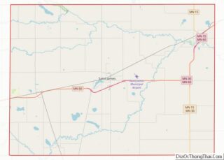
Minnesota State Highways 4, 30, and 60 are three of the main routes in the city.
| Name: | St. James city |
|---|---|
| LSAD Code: | 25 |
| LSAD Description: | city (suffix) |
| State: | Minnesota |
| County: | Watonwan County |
| Elevation: | 1,079 ft (329 m) |
| Total Area: | 2.36 sq mi (6.10 km²) |
| Land Area: | 2.33 sq mi (6.04 km²) |
| Water Area: | 0.02 sq mi (0.06 km²) |
| Total Population: | 4,793 |
| Population Density: | 2,054.44/sq mi (793.34/km²) |
| ZIP code: | 56081 |
| FIPS code: | 2757040 |
| GNISfeature ID: | 0650613 |
| Website: | ci.stjames.mn.us |
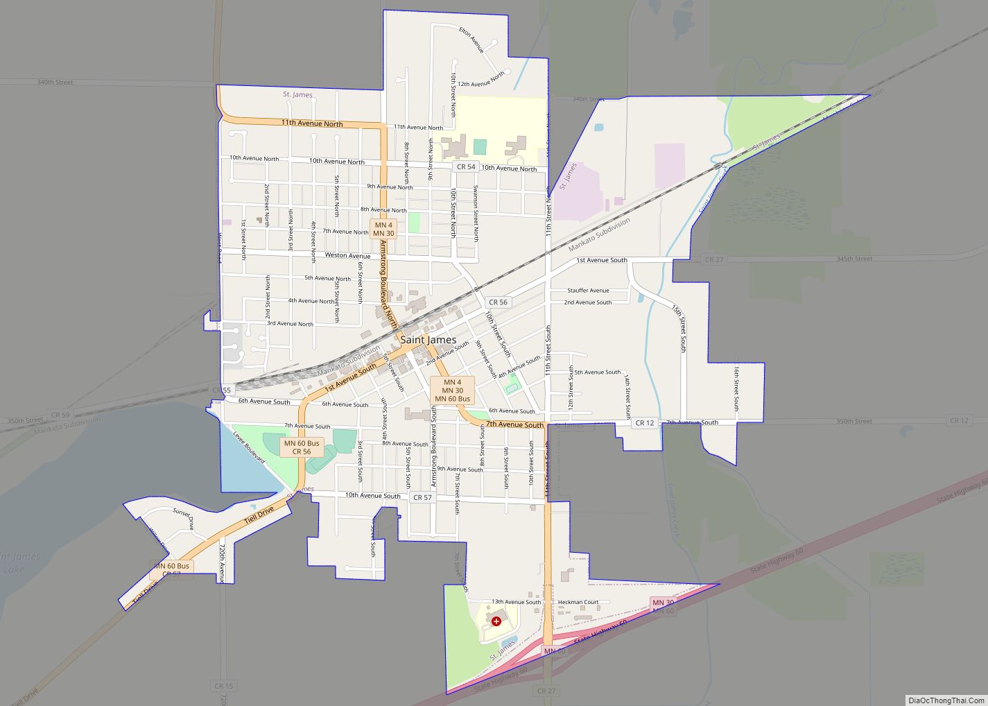
Online Interactive Map
Click on ![]() to view map in "full screen" mode.
to view map in "full screen" mode.
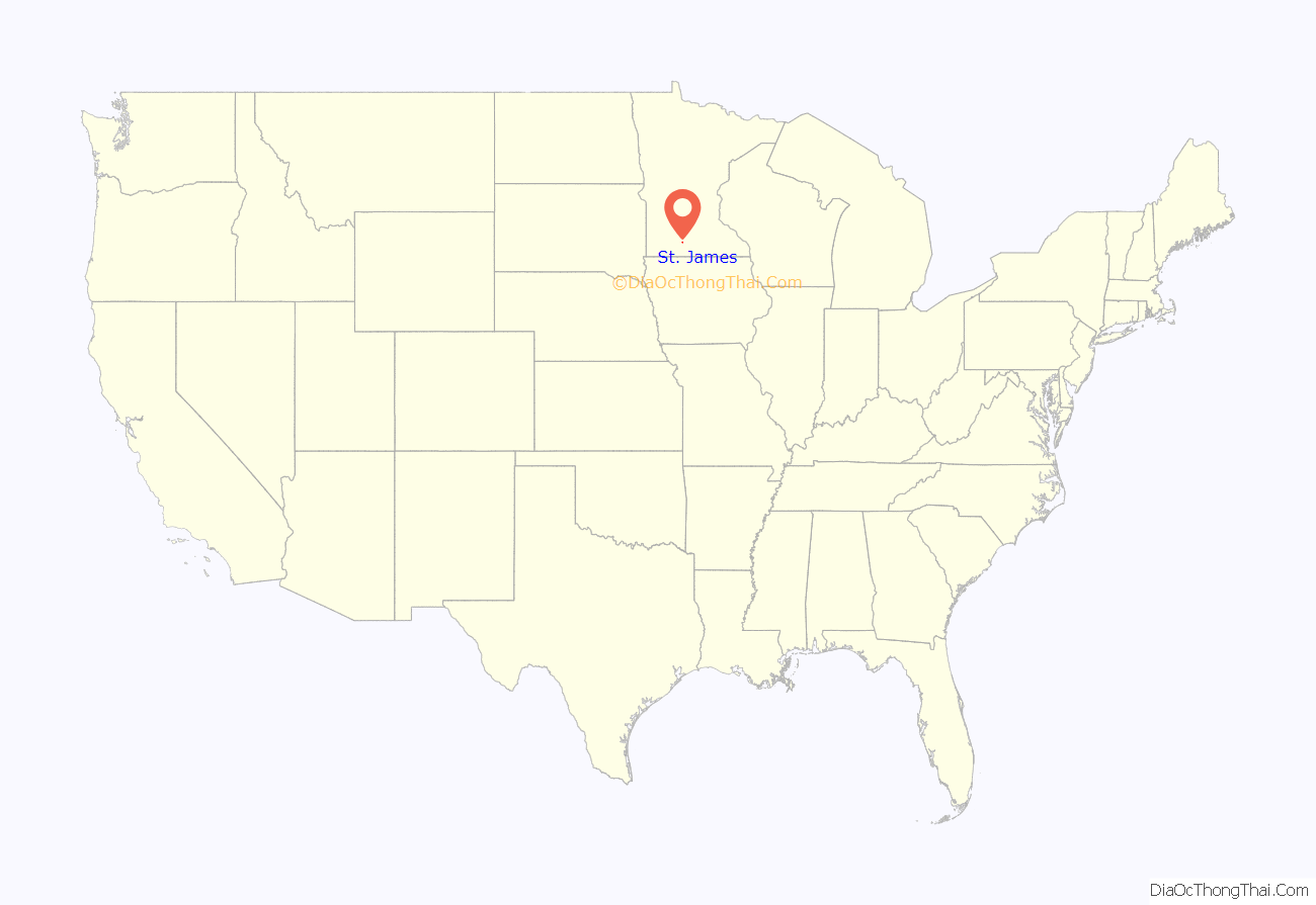
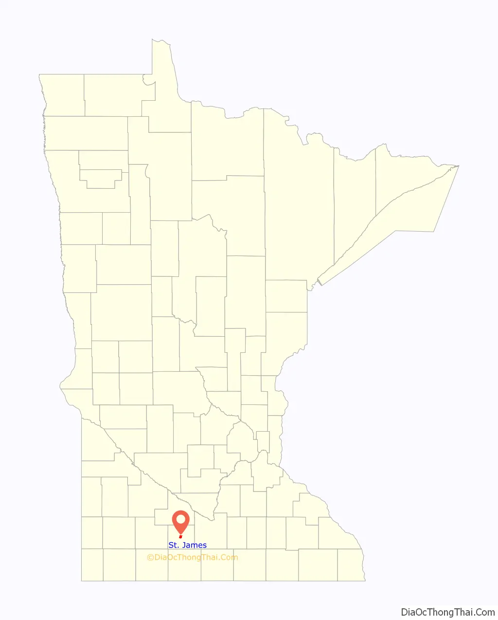
St. James location map. Where is St. James city?
History
In 1870, the directors of the St. Paul and Sioux City railroads chose the future townsite of St. James as the midpoint for a new railroad linking the two cities. Named for James Purington, an early settler, the new city was incorporated in 1871. It was the hometown of Minnesota Governor Winfield Scott Hammond, a Democrat who served in 1915. In the 1940s, Theodore S. Mondale, the father of future Vice President of the United States Walter Mondale, was the pastor at First Methodist Church of St. James. Tony Downs Foods Co. has been a major employer since 1947, processing poultry and frozen meals.
St. James has two properties listed on the National Register of Historic Places: the Grand Opera House, completed in 1892, and the Watonwan County Courthouse, completed in 1896.
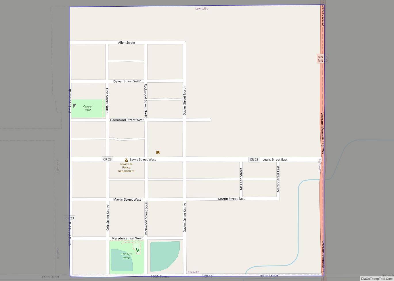
St. James Road Map
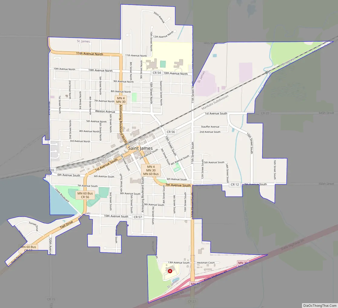
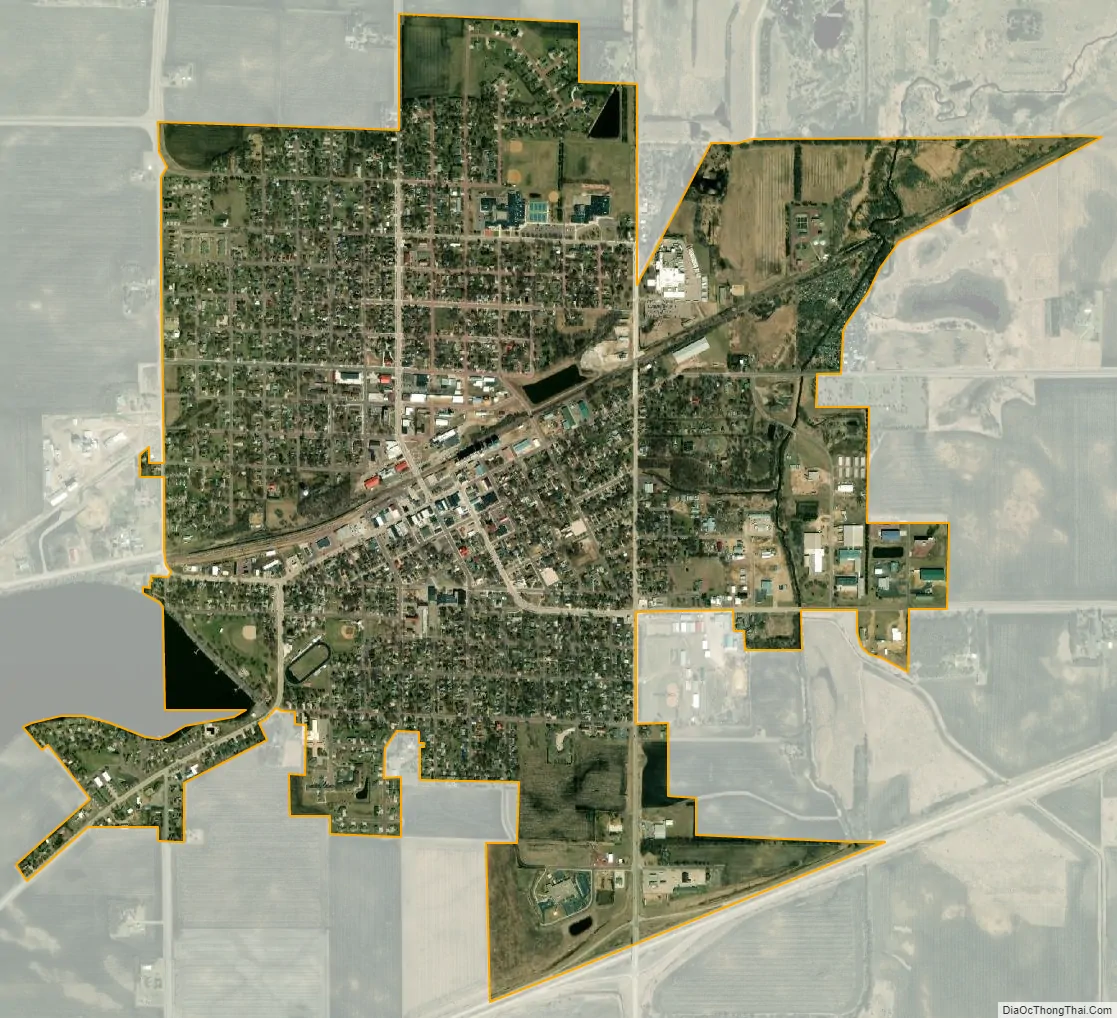
St. James city Satellite Map
Geography
According to the United States Census Bureau, the city has an area of 2.43 square miles (6.29 km); 2.40 square miles (6.22 km) is land and 0.03 square miles (0.08 km) is water.
Climate
See also
Map of Minnesota State and its subdivision:- Aitkin
- Anoka
- Becker
- Beltrami
- Benton
- Big Stone
- Blue Earth
- Brown
- Carlton
- Carver
- Cass
- Chippewa
- Chisago
- Clay
- Clearwater
- Cook
- Cottonwood
- Crow Wing
- Dakota
- Dodge
- Douglas
- Faribault
- Fillmore
- Freeborn
- Goodhue
- Grant
- Hennepin
- Houston
- Hubbard
- Isanti
- Itasca
- Jackson
- Kanabec
- Kandiyohi
- Kittson
- Koochiching
- Lac qui Parle
- Lake
- Lake of the Woods
- Lake Superior
- Le Sueur
- Lincoln
- Lyon
- Mahnomen
- Marshall
- Martin
- McLeod
- Meeker
- Mille Lacs
- Morrison
- Mower
- Murray
- Nicollet
- Nobles
- Norman
- Olmsted
- Otter Tail
- Pennington
- Pine
- Pipestone
- Polk
- Pope
- Ramsey
- Red Lake
- Redwood
- Renville
- Rice
- Rock
- Roseau
- Saint Louis
- Scott
- Sherburne
- Sibley
- Stearns
- Steele
- Stevens
- Swift
- Todd
- Traverse
- Wabasha
- Wadena
- Waseca
- Washington
- Watonwan
- Wilkin
- Winona
- Wright
- Yellow Medicine
- Alabama
- Alaska
- Arizona
- Arkansas
- California
- Colorado
- Connecticut
- Delaware
- District of Columbia
- Florida
- Georgia
- Hawaii
- Idaho
- Illinois
- Indiana
- Iowa
- Kansas
- Kentucky
- Louisiana
- Maine
- Maryland
- Massachusetts
- Michigan
- Minnesota
- Mississippi
- Missouri
- Montana
- Nebraska
- Nevada
- New Hampshire
- New Jersey
- New Mexico
- New York
- North Carolina
- North Dakota
- Ohio
- Oklahoma
- Oregon
- Pennsylvania
- Rhode Island
- South Carolina
- South Dakota
- Tennessee
- Texas
- Utah
- Vermont
- Virginia
- Washington
- West Virginia
- Wisconsin
- Wyoming