Waconia (/wəˈkoʊnjə/ wə-KOHN-yə) is a city in Carver County, Minnesota, United States. Waconia attracts visitors to nearby Lake Waconia, a lake locally renowned for its fishing and recreation opportunities.
The city’s population was 13,033 at the 2020 census.
| Name: | Waconia city |
|---|---|
| LSAD Code: | 25 |
| LSAD Description: | city (suffix) |
| State: | Minnesota |
| County: | Carver County |
| Total Area: | 5.31 sq mi (13.76 km²) |
| Land Area: | 5.28 sq mi (13.67 km²) |
| Water Area: | 0.04 sq mi (0.09 km²) |
| Total Population: | 13,033 |
| Population Density: | 2,468.84/sq mi (953.23/km²) |
| ZIP code: | 55387 |
| Area code: | 952 |
| FIPS code: | 2767432 |
| Website: | www.waconia.org |
Online Interactive Map
Click on ![]() to view map in "full screen" mode.
to view map in "full screen" mode.
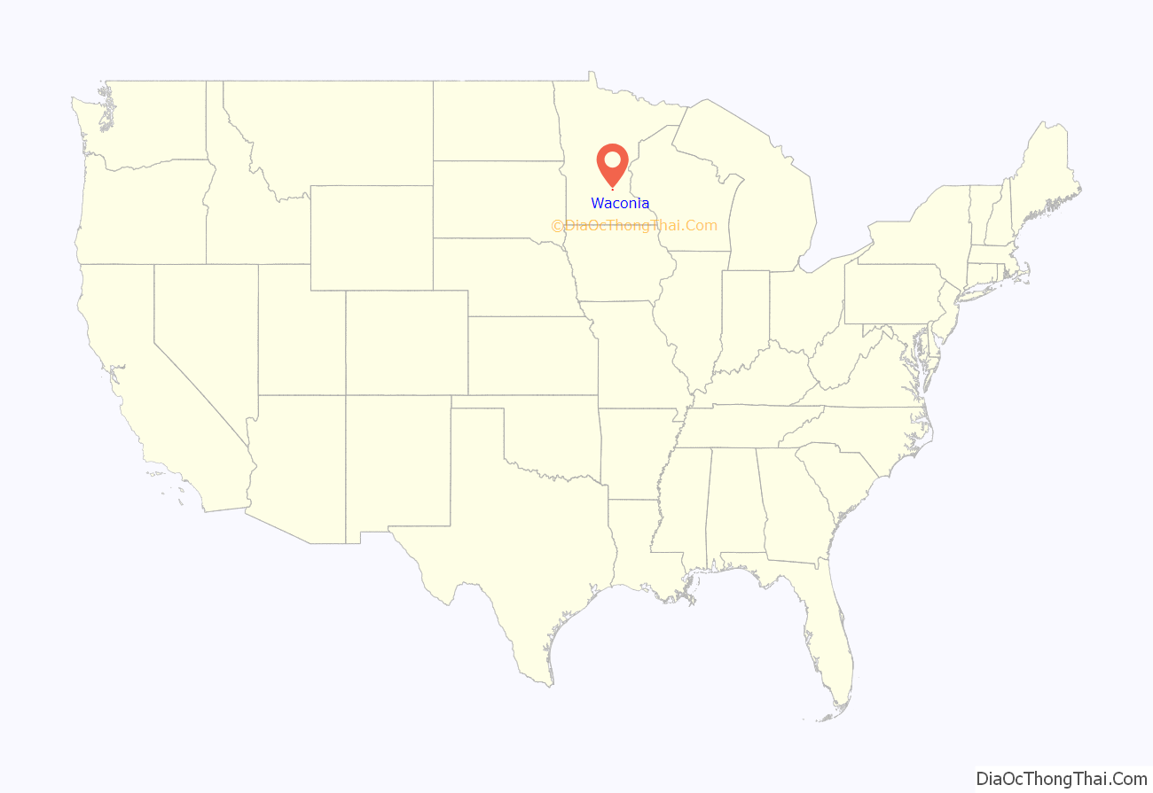
Waconia location map. Where is Waconia city?
History
A post office has been in operation at Waconia since 1860. The city took its name from Lake Waconia.
National Register of Historic Places gallery
Waconia has several buildings listed on the National Register of Historic Places (see: National Register of Historic Places listings in Carver County, Minnesota). One of the more prominent listings is for Coney Island of the West on Lake Waconia, where cottages, boathouses and resort hotels attracted tourists, especially from 1884 until the late 1920s, when the rise of the automobile allowed people to travel farther away for summer vacations.
Waconia City Hall
West Main Street Houses, from left to right 417, 429, and 453 W. Main St.
Emile Amblard Guest House
Coney Island of the West on Lake Waconia across from Waconia
Mock Cigar Factory and House
Charles Maiser House
Waconia Road Map
Waconia city Satellite Map
Geography
According to the United States Census Bureau, the city has a total area of 4.39 square miles (11.37 km), of which 4.34 square miles (11.24 km) is land and 0.05 square miles (0.13 km) is water.
Minnesota State Highways 5 and 284; and Carver County Highway 10 are the main routes in Waconia.
See also
Map of Minnesota State and its subdivision:- Aitkin
- Anoka
- Becker
- Beltrami
- Benton
- Big Stone
- Blue Earth
- Brown
- Carlton
- Carver
- Cass
- Chippewa
- Chisago
- Clay
- Clearwater
- Cook
- Cottonwood
- Crow Wing
- Dakota
- Dodge
- Douglas
- Faribault
- Fillmore
- Freeborn
- Goodhue
- Grant
- Hennepin
- Houston
- Hubbard
- Isanti
- Itasca
- Jackson
- Kanabec
- Kandiyohi
- Kittson
- Koochiching
- Lac qui Parle
- Lake
- Lake of the Woods
- Lake Superior
- Le Sueur
- Lincoln
- Lyon
- Mahnomen
- Marshall
- Martin
- McLeod
- Meeker
- Mille Lacs
- Morrison
- Mower
- Murray
- Nicollet
- Nobles
- Norman
- Olmsted
- Otter Tail
- Pennington
- Pine
- Pipestone
- Polk
- Pope
- Ramsey
- Red Lake
- Redwood
- Renville
- Rice
- Rock
- Roseau
- Saint Louis
- Scott
- Sherburne
- Sibley
- Stearns
- Steele
- Stevens
- Swift
- Todd
- Traverse
- Wabasha
- Wadena
- Waseca
- Washington
- Watonwan
- Wilkin
- Winona
- Wright
- Yellow Medicine
- Alabama
- Alaska
- Arizona
- Arkansas
- California
- Colorado
- Connecticut
- Delaware
- District of Columbia
- Florida
- Georgia
- Hawaii
- Idaho
- Illinois
- Indiana
- Iowa
- Kansas
- Kentucky
- Louisiana
- Maine
- Maryland
- Massachusetts
- Michigan
- Minnesota
- Mississippi
- Missouri
- Montana
- Nebraska
- Nevada
- New Hampshire
- New Jersey
- New Mexico
- New York
- North Carolina
- North Dakota
- Ohio
- Oklahoma
- Oregon
- Pennsylvania
- Rhode Island
- South Carolina
- South Dakota
- Tennessee
- Texas
- Utah
- Vermont
- Virginia
- Washington
- West Virginia
- Wisconsin
- Wyoming
