Watson is a city in Chippewa County, Minnesota, United States. The population was 205 at the 2010 census. Lac Qui Parle State Park is nearby.
| Name: | Watson city |
|---|---|
| LSAD Code: | 25 |
| LSAD Description: | city (suffix) |
| State: | Minnesota |
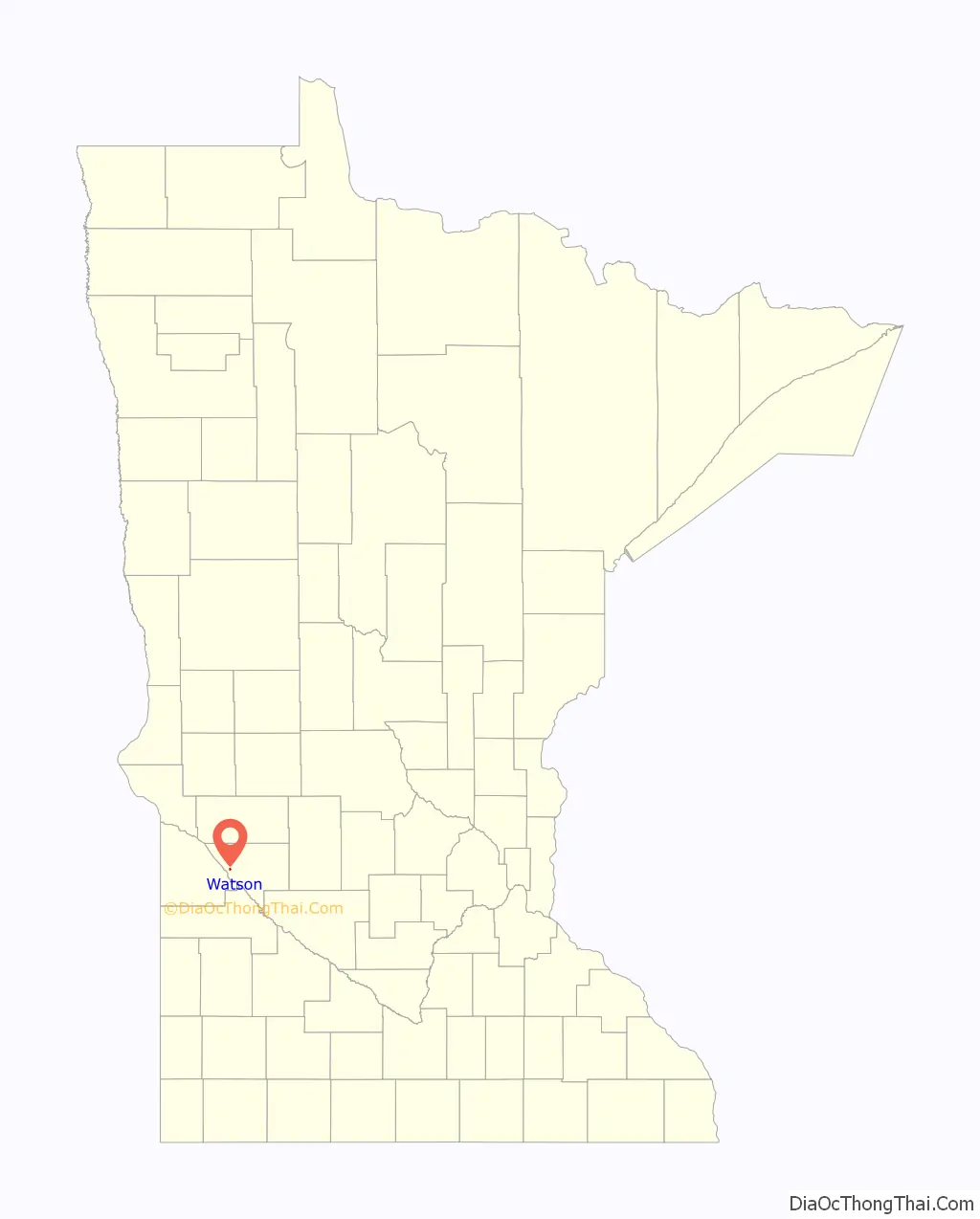
| County: | Chippewa County |
| Elevation: | 1,030 ft (310 m) |
| Total Area: | 0.17 sq mi (0.45 km²) |
| Land Area: | 0.17 sq mi (0.45 km²) |
| Water Area: | 0.00 sq mi (0.00 km²) |
| Total Population: | 182 |
| Population Density: | 1,040.00/sq mi (401.47/km²) |
| ZIP code: | 56295 |
| Area code: | 320 |
| FIPS code: | 2768656 |
| GNISfeature ID: | 0653844 |
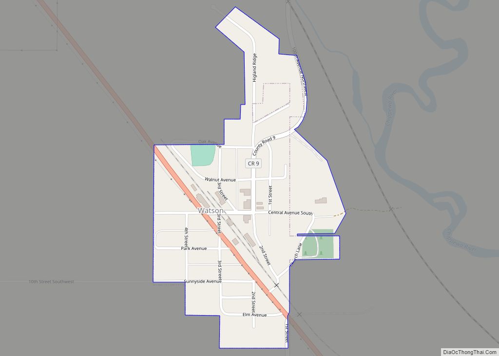
Online Interactive Map
Click on ![]() to view map in "full screen" mode.
to view map in "full screen" mode.
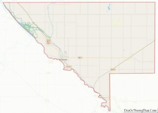
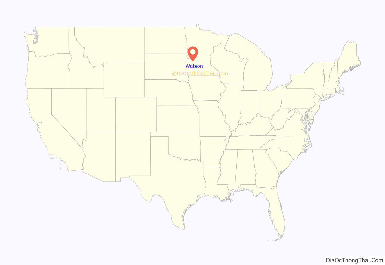
Watson location map. Where is Watson city?
History
Watson was platted in 1879 when the railroad was extended to that point. The city took its name from the Watson Farmers Elevator, a local grain elevator. A post office has been in operation in Watson since 1879.
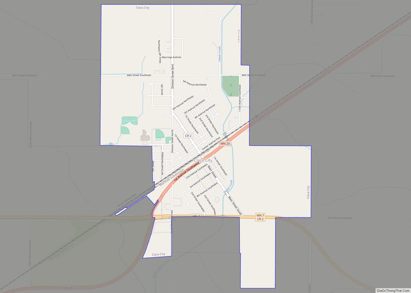
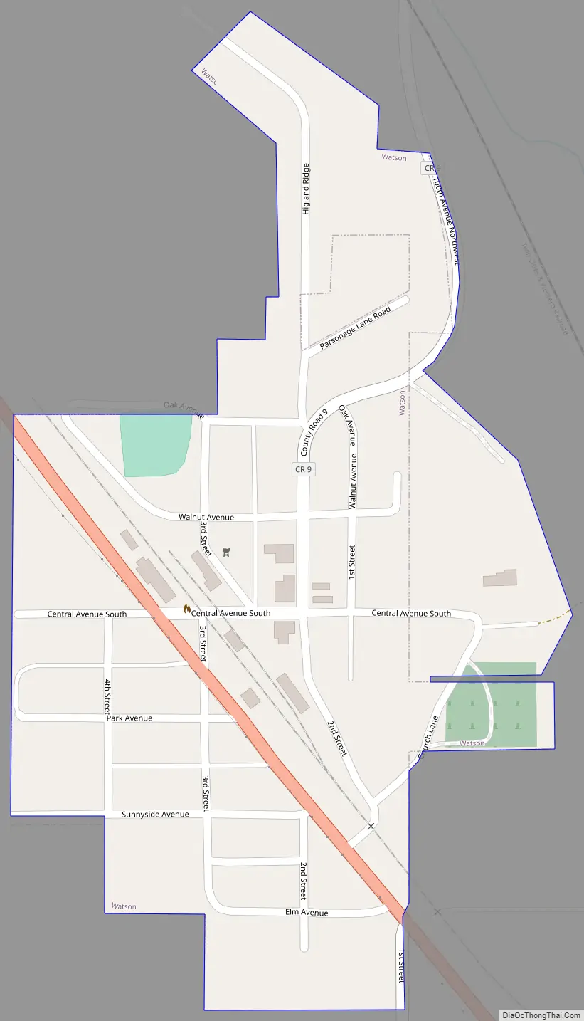
Watson Road Map
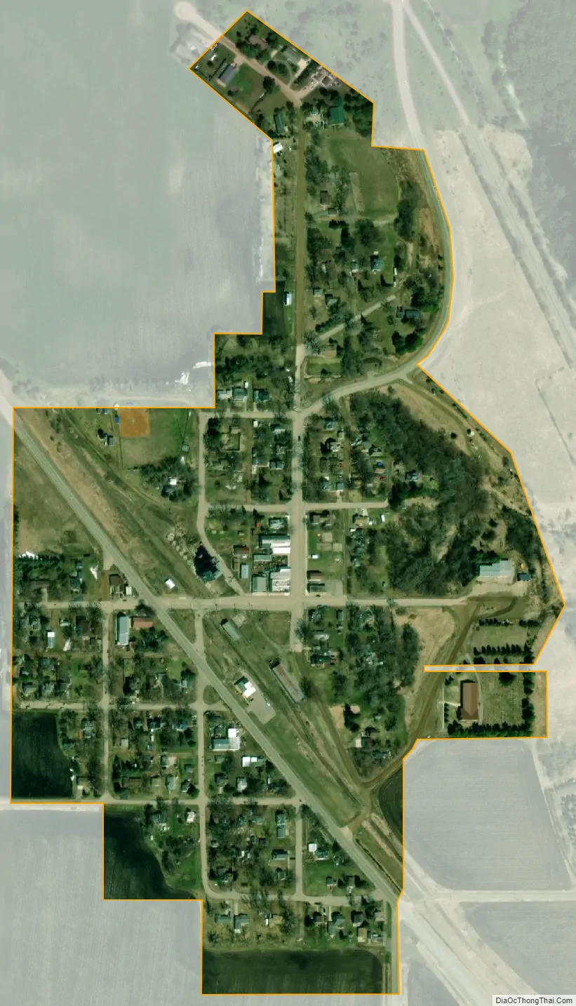
Watson city Satellite Map
Geography
According to the United States Census Bureau, the city has a total area of 0.18 square miles (0.47 km), all land.
U.S. Route 59 and Minnesota State Highway 7 (co-signed) serves as a main route in the community.
Watson is known as “The Goose Capitol of the USA” due to the large number of Canada geese which migrate through and inhabit nearby Lac Qui Parle every fall.
See also
Map of Minnesota State and its subdivision:- Aitkin
- Anoka
- Becker
- Beltrami
- Benton
- Big Stone
- Blue Earth
- Brown
- Carlton
- Carver
- Cass
- Chippewa
- Chisago
- Clay
- Clearwater
- Cook
- Cottonwood
- Crow Wing
- Dakota
- Dodge
- Douglas
- Faribault
- Fillmore
- Freeborn
- Goodhue
- Grant
- Hennepin
- Houston
- Hubbard
- Isanti
- Itasca
- Jackson
- Kanabec
- Kandiyohi
- Kittson
- Koochiching
- Lac qui Parle
- Lake
- Lake of the Woods
- Lake Superior
- Le Sueur
- Lincoln
- Lyon
- Mahnomen
- Marshall
- Martin
- McLeod
- Meeker
- Mille Lacs
- Morrison
- Mower
- Murray
- Nicollet
- Nobles
- Norman
- Olmsted
- Otter Tail
- Pennington
- Pine
- Pipestone
- Polk
- Pope
- Ramsey
- Red Lake
- Redwood
- Renville
- Rice
- Rock
- Roseau
- Saint Louis
- Scott
- Sherburne
- Sibley
- Stearns
- Steele
- Stevens
- Swift
- Todd
- Traverse
- Wabasha
- Wadena
- Waseca
- Washington
- Watonwan
- Wilkin
- Winona
- Wright
- Yellow Medicine
- Alabama
- Alaska
- Arizona
- Arkansas
- California
- Colorado
- Connecticut
- Delaware
- District of Columbia
- Florida
- Georgia
- Hawaii
- Idaho
- Illinois
- Indiana
- Iowa
- Kansas
- Kentucky
- Louisiana
- Maine
- Maryland
- Massachusetts
- Michigan
- Minnesota
- Mississippi
- Missouri
- Montana
- Nebraska
- Nevada
- New Hampshire
- New Jersey
- New Mexico
- New York
- North Carolina
- North Dakota
- Ohio
- Oklahoma
- Oregon
- Pennsylvania
- Rhode Island
- South Carolina
- South Dakota
- Tennessee
- Texas
- Utah
- Vermont
- Virginia
- Washington
- West Virginia
- Wisconsin
- Wyoming