Wells is a city in Faribault County, Minnesota, United States. The population was 2,343 at the 2010 census.
| Name: | Wells city |
|---|---|
| LSAD Code: | 25 |
| LSAD Description: | city (suffix) |
| State: | Minnesota |
| County: | Faribault County |
| Elevation: | 1,155 ft (352 m) |
| Total Area: | 2.24 sq mi (5.79 km²) |
| Land Area: | 2.09 sq mi (5.41 km²) |
| Water Area: | 0.15 sq mi (0.38 km²) |
| Total Population: | 2,410 |
| Population Density: | 1,153.11/sq mi (445.30/km²) |
| ZIP code: | 56097 |
| Area code: | 507 |
| FIPS code: | 2769106 |
| GNISfeature ID: | 0653904 |
| Website: | www.CityOfWells.net |
Online Interactive Map
Click on ![]() to view map in "full screen" mode.
to view map in "full screen" mode.
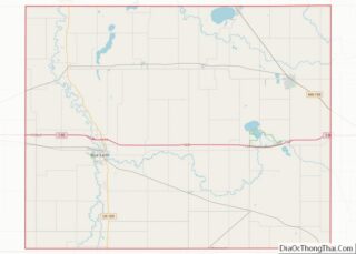
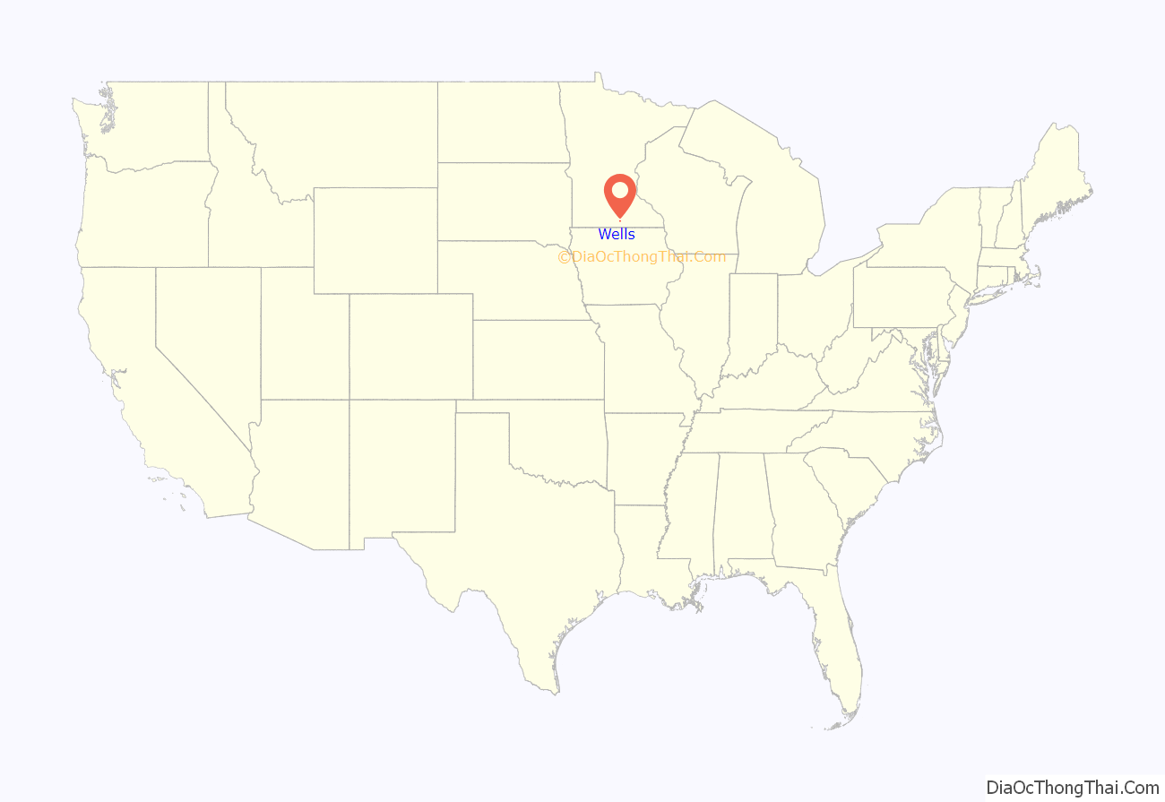
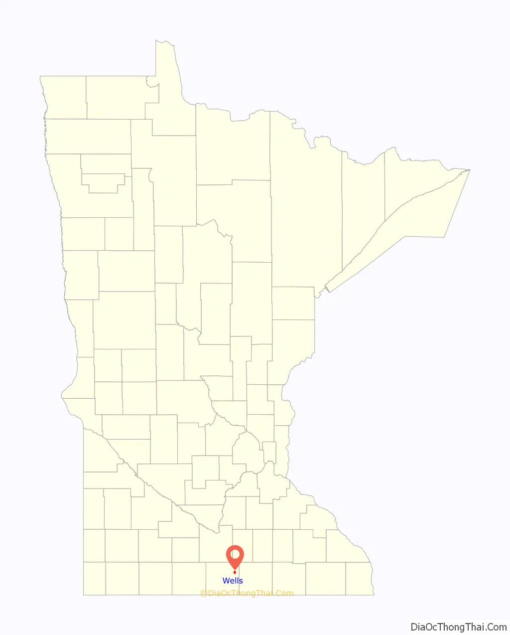
Wells location map. Where is Wells city?
History
Wells was laid out in 1869. The city was named for J.W. Wells, father in law of Clark W. Thompson.
The city contains a property listed on the National Register of Historic Places: the former Chicago, Milwaukee, St. Paul and Pacific Depot and Lunchroom.
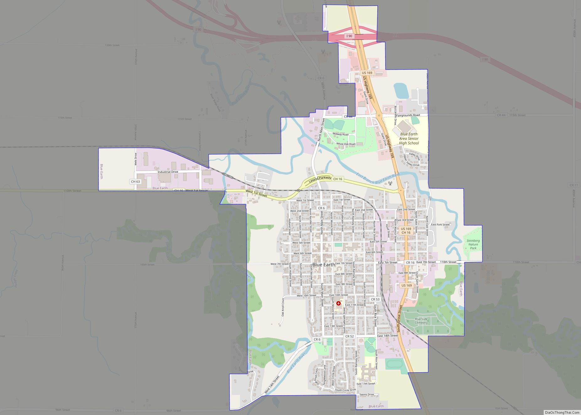
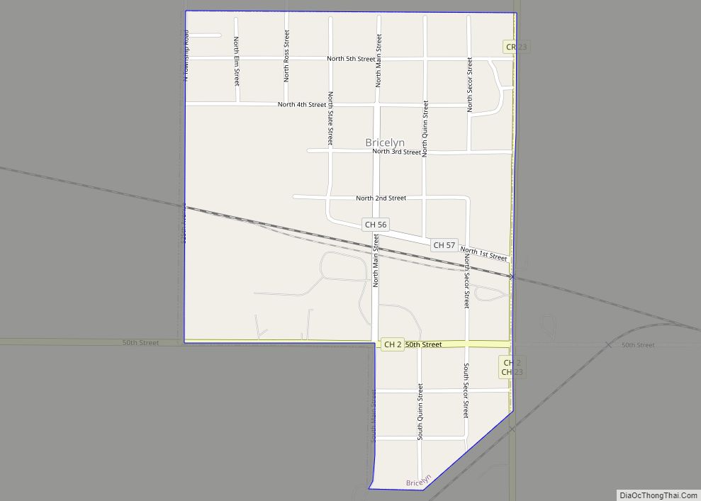
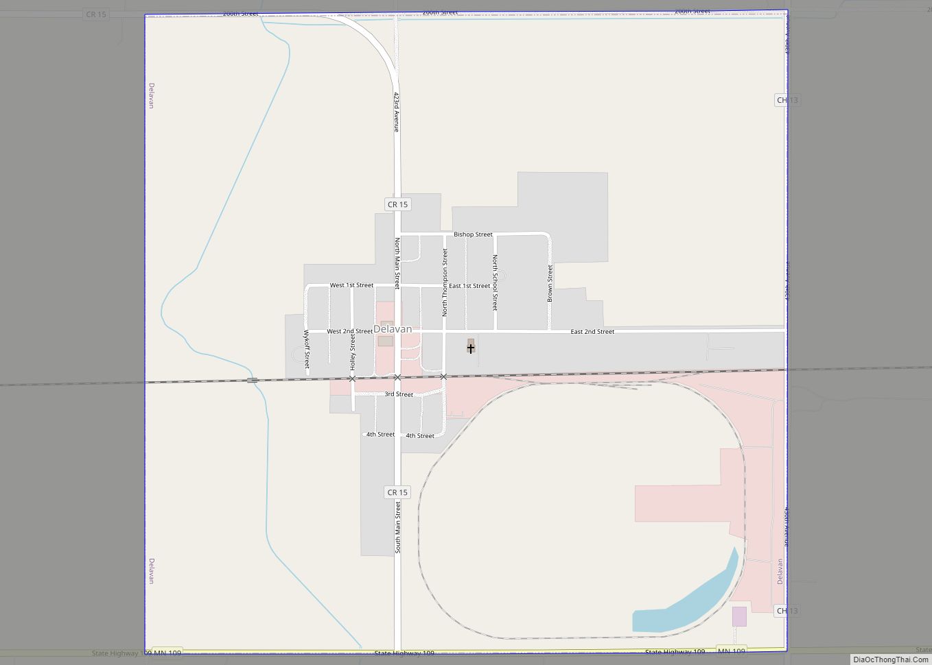
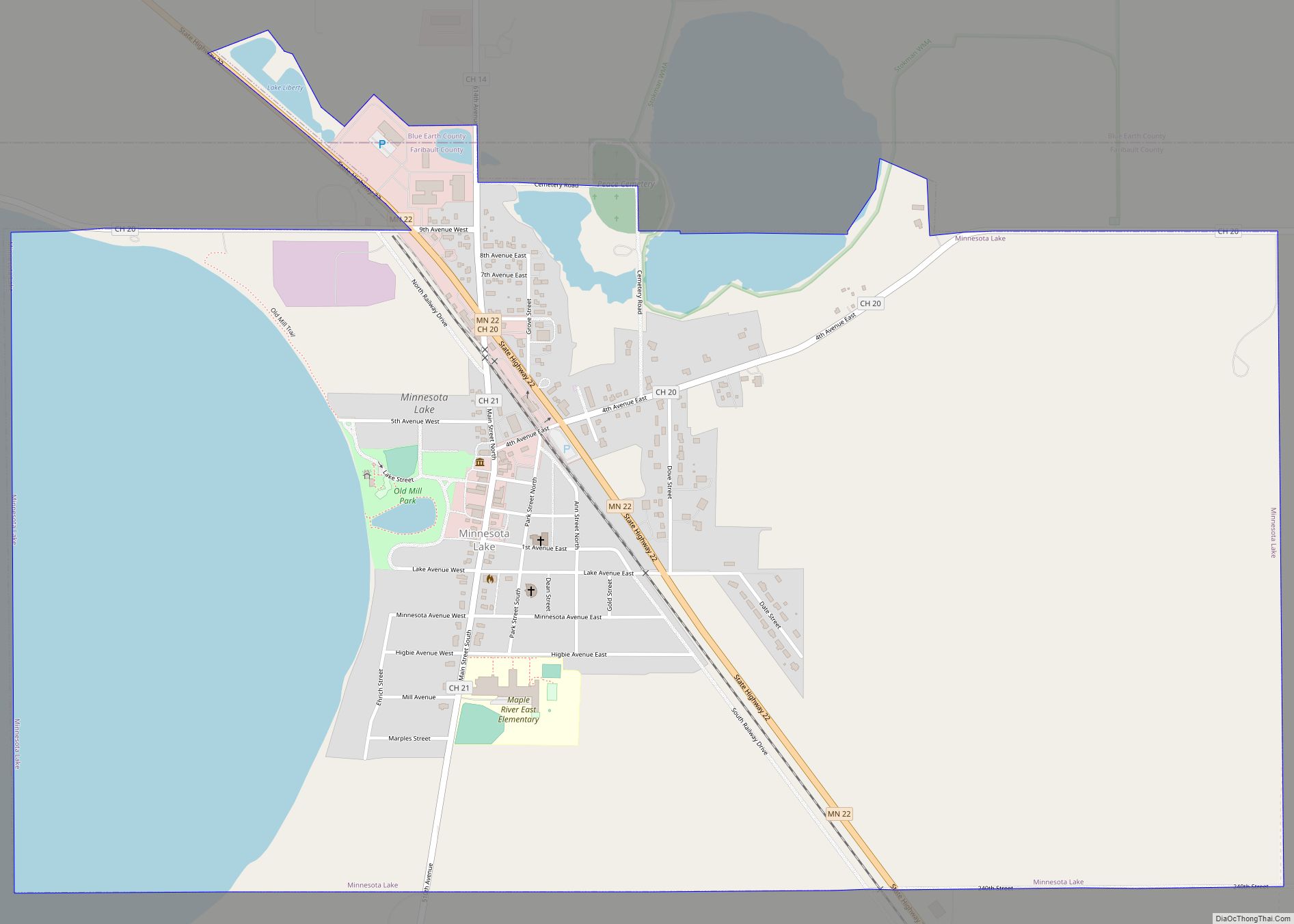
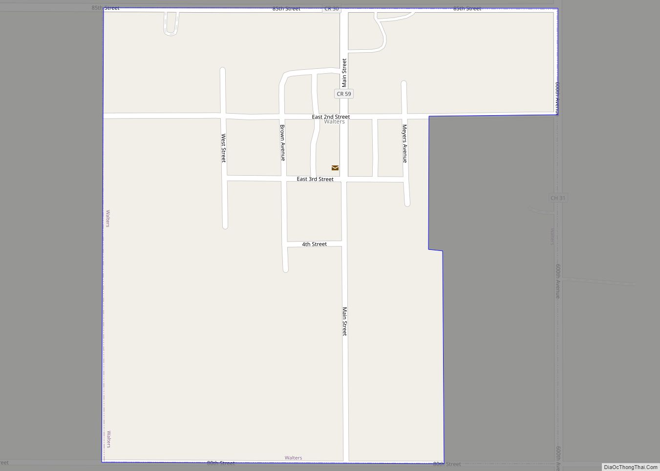
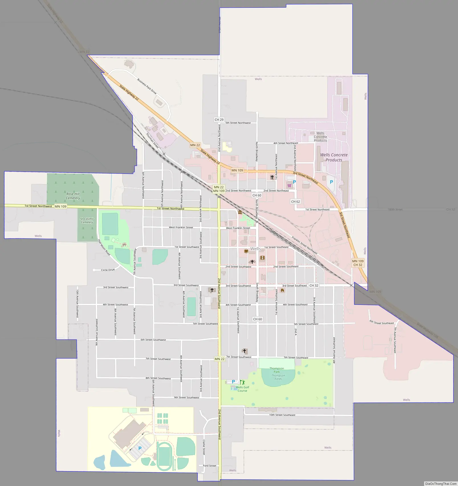
Wells Road Map
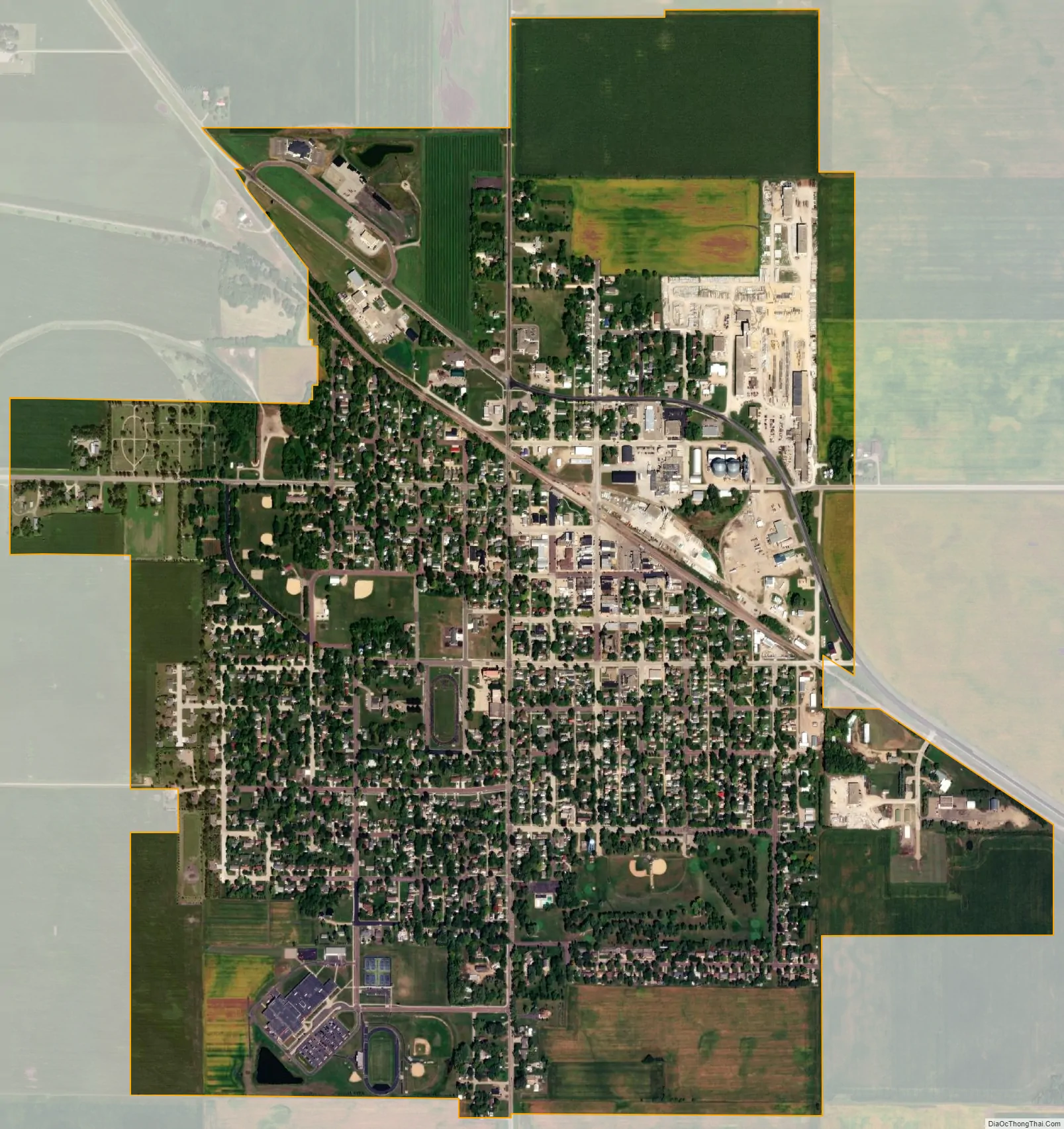
Wells city Satellite Map
Geography
According to the United States Census Bureau, the city has a total area of 1.99 square miles (5.15 km), all land.
Minnesota State Highways 22 and 109 are two of the main routes in the city. Interstate 90 is located six miles south of Wells on Highway 22.
Climate
See also
Map of Minnesota State and its subdivision:- Aitkin
- Anoka
- Becker
- Beltrami
- Benton
- Big Stone
- Blue Earth
- Brown
- Carlton
- Carver
- Cass
- Chippewa
- Chisago
- Clay
- Clearwater
- Cook
- Cottonwood
- Crow Wing
- Dakota
- Dodge
- Douglas
- Faribault
- Fillmore
- Freeborn
- Goodhue
- Grant
- Hennepin
- Houston
- Hubbard
- Isanti
- Itasca
- Jackson
- Kanabec
- Kandiyohi
- Kittson
- Koochiching
- Lac qui Parle
- Lake
- Lake of the Woods
- Lake Superior
- Le Sueur
- Lincoln
- Lyon
- Mahnomen
- Marshall
- Martin
- McLeod
- Meeker
- Mille Lacs
- Morrison
- Mower
- Murray
- Nicollet
- Nobles
- Norman
- Olmsted
- Otter Tail
- Pennington
- Pine
- Pipestone
- Polk
- Pope
- Ramsey
- Red Lake
- Redwood
- Renville
- Rice
- Rock
- Roseau
- Saint Louis
- Scott
- Sherburne
- Sibley
- Stearns
- Steele
- Stevens
- Swift
- Todd
- Traverse
- Wabasha
- Wadena
- Waseca
- Washington
- Watonwan
- Wilkin
- Winona
- Wright
- Yellow Medicine
- Alabama
- Alaska
- Arizona
- Arkansas
- California
- Colorado
- Connecticut
- Delaware
- District of Columbia
- Florida
- Georgia
- Hawaii
- Idaho
- Illinois
- Indiana
- Iowa
- Kansas
- Kentucky
- Louisiana
- Maine
- Maryland
- Massachusetts
- Michigan
- Minnesota
- Mississippi
- Missouri
- Montana
- Nebraska
- Nevada
- New Hampshire
- New Jersey
- New Mexico
- New York
- North Carolina
- North Dakota
- Ohio
- Oklahoma
- Oregon
- Pennsylvania
- Rhode Island
- South Carolina
- South Dakota
- Tennessee
- Texas
- Utah
- Vermont
- Virginia
- Washington
- West Virginia
- Wisconsin
- Wyoming