Zemple is a city in Itasca County, Minnesota, United States. The population was 93 at the 2010 census.
| Name: | Zemple city |
|---|---|
| LSAD Code: | 25 |
| LSAD Description: | city (suffix) |
| State: | Minnesota |
| County: | Itasca County |
| Elevation: | 1,293 ft (394 m) |
| Total Area: | 0.65 sq mi (1.69 km²) |
| Land Area: | 0.65 sq mi (1.69 km²) |
| Water Area: | 0.00 sq mi (0.00 km²) |
| Total Population: | 78 |
| Population Density: | 119.82/sq mi (46.29/km²) |
| ZIP code: | 56636 |
| Area code: | 218 |
| FIPS code: | 2772184 |
| GNISfeature ID: | 0659083 |
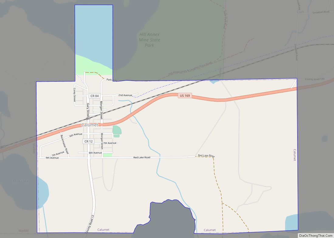
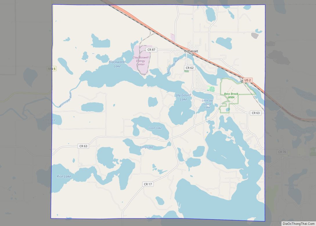
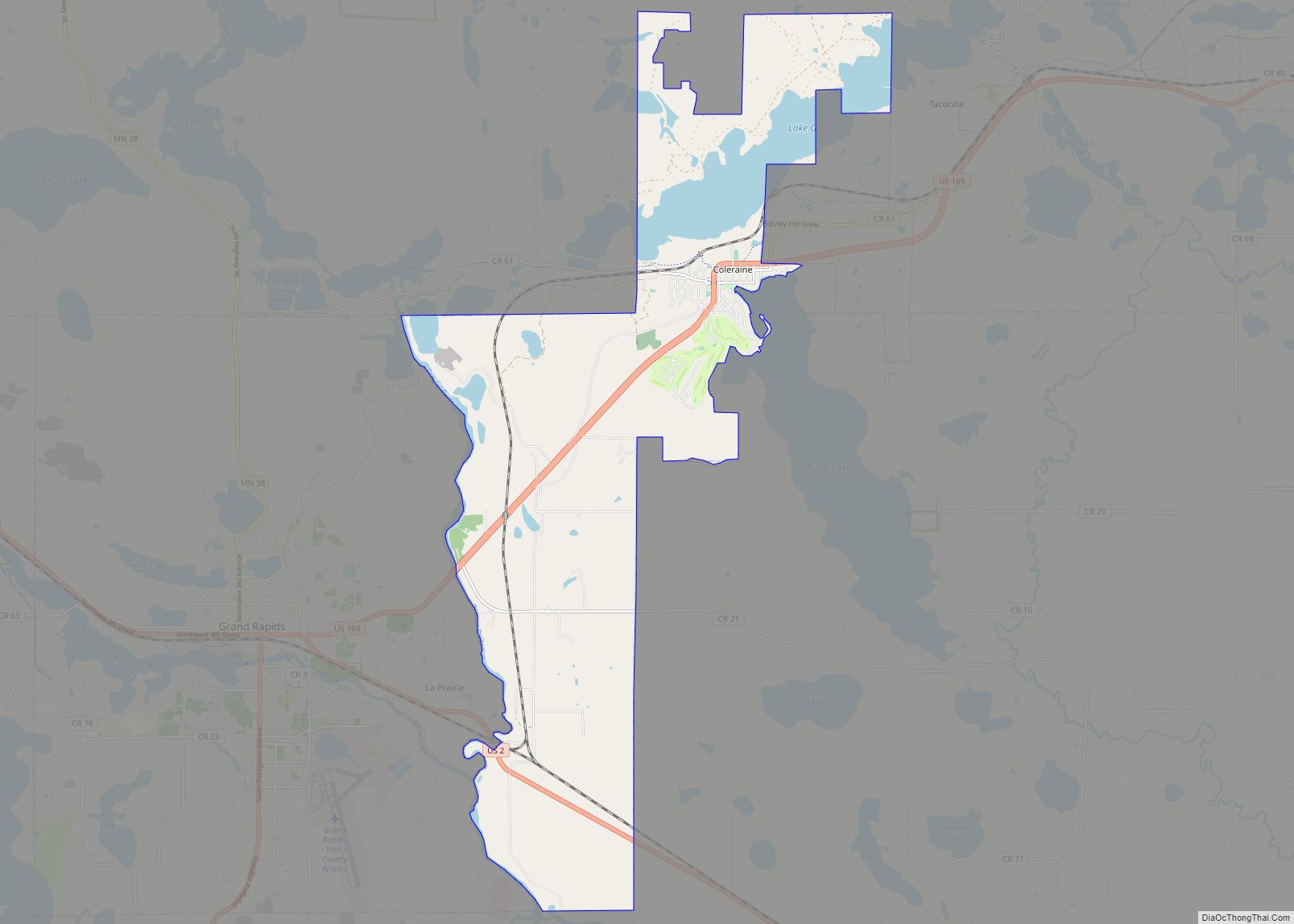
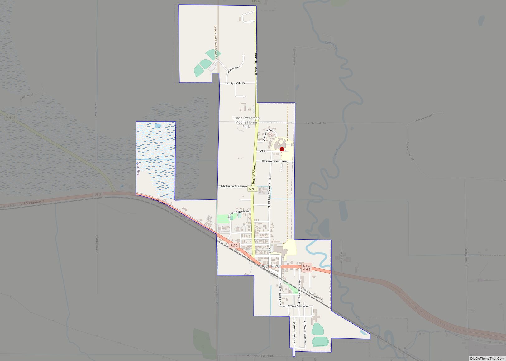
Online Interactive Map
Click on ![]() to view map in "full screen" mode.
to view map in "full screen" mode.
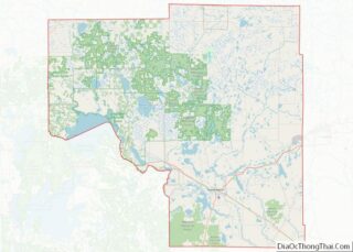
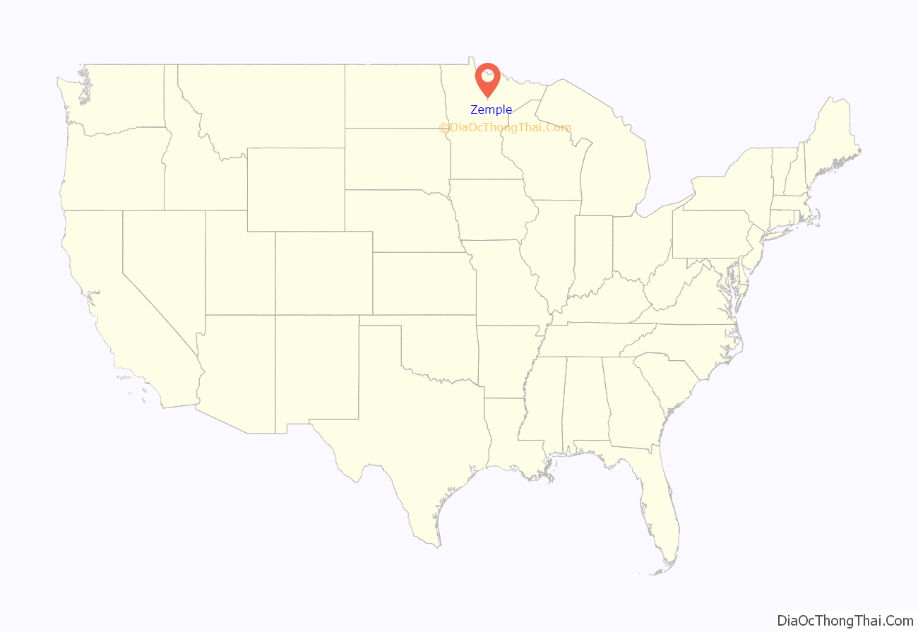
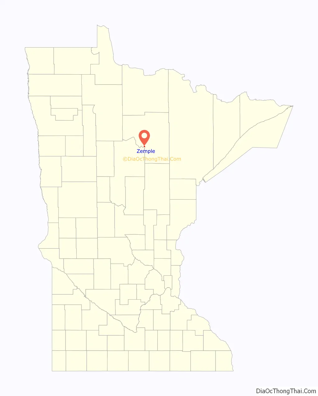
Zemple location map. Where is Zemple city?
History
Zemple was officially organized in 1911, with the first village council meeting held in June.
Early Zemple was a place where the former Minneapolis and Rainy River Railway had a roundhouse with 12 engines. Zemple had a store, a school (which closed in 1928), and a church.
The town was named for R. T. Zempel, who owned most of the land and was elected the first village president. The Zempels had a farm on the south end of the village. Other early residents included Martindales, Mayos, Simons, Nordahls, Dahls, Spragues, Johtonens, Nellis, Robertson, Blum, Reed, Folsom, Newkirks, Wrights and Berghs.
Lumber was the main industry in Zemple. There was a big sawmill on White Oak Point (a part of the Mississippi River), where logs where floated down to the sawmill. There was a planing mill, a veneer mill and a box mill, all of which burned down in later years. Excerpted from the Deer River Centennial History
The sawmill, referenced above. evolved under several different company names–Pillsbury-Watkins Company-1903, Joyce-Pillsbury Co.-1904, Deer River Lumber Co.-1906, eventually becoming Itasca Lumber Co. to its close in late 1921. —from the book, Timber Connections–The Joyce Lumber Story–Bluewaters Press
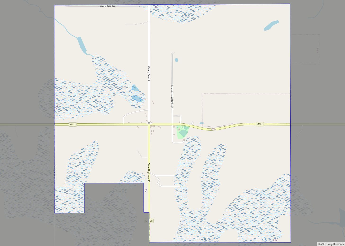
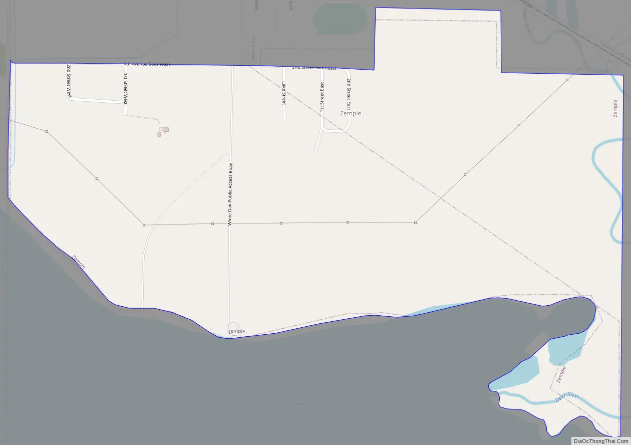
Zemple Road Map
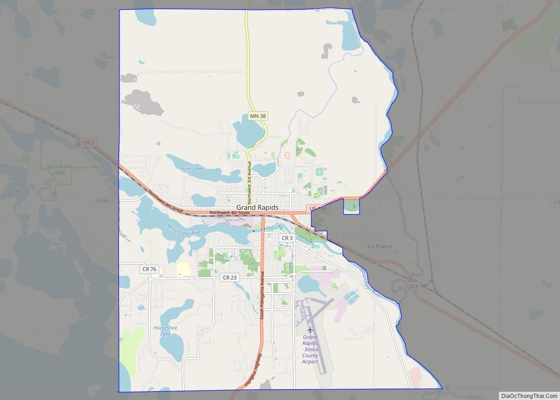
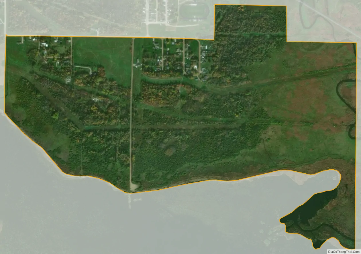
Zemple city Satellite Map
Geography
According to the United States Census Bureau, the city has a total area of 0.80 square miles (2.07 km), all land.
U.S. Highway 2 and Minnesota State Highway 6 are in proximity to Zemple. The city of Deer River is adjacent to Zemple.
See also
Map of Minnesota State and its subdivision:- Aitkin
- Anoka
- Becker
- Beltrami
- Benton
- Big Stone
- Blue Earth
- Brown
- Carlton
- Carver
- Cass
- Chippewa
- Chisago
- Clay
- Clearwater
- Cook
- Cottonwood
- Crow Wing
- Dakota
- Dodge
- Douglas
- Faribault
- Fillmore
- Freeborn
- Goodhue
- Grant
- Hennepin
- Houston
- Hubbard
- Isanti
- Itasca
- Jackson
- Kanabec
- Kandiyohi
- Kittson
- Koochiching
- Lac qui Parle
- Lake
- Lake of the Woods
- Lake Superior
- Le Sueur
- Lincoln
- Lyon
- Mahnomen
- Marshall
- Martin
- McLeod
- Meeker
- Mille Lacs
- Morrison
- Mower
- Murray
- Nicollet
- Nobles
- Norman
- Olmsted
- Otter Tail
- Pennington
- Pine
- Pipestone
- Polk
- Pope
- Ramsey
- Red Lake
- Redwood
- Renville
- Rice
- Rock
- Roseau
- Saint Louis
- Scott
- Sherburne
- Sibley
- Stearns
- Steele
- Stevens
- Swift
- Todd
- Traverse
- Wabasha
- Wadena
- Waseca
- Washington
- Watonwan
- Wilkin
- Winona
- Wright
- Yellow Medicine
- Alabama
- Alaska
- Arizona
- Arkansas
- California
- Colorado
- Connecticut
- Delaware
- District of Columbia
- Florida
- Georgia
- Hawaii
- Idaho
- Illinois
- Indiana
- Iowa
- Kansas
- Kentucky
- Louisiana
- Maine
- Maryland
- Massachusetts
- Michigan
- Minnesota
- Mississippi
- Missouri
- Montana
- Nebraska
- Nevada
- New Hampshire
- New Jersey
- New Mexico
- New York
- North Carolina
- North Dakota
- Ohio
- Oklahoma
- Oregon
- Pennsylvania
- Rhode Island
- South Carolina
- South Dakota
- Tennessee
- Texas
- Utah
- Vermont
- Virginia
- Washington
- West Virginia
- Wisconsin
- Wyoming