Washington is a city on the south banks of the Missouri River, 50 miles west of St. Louis, Missouri, and the largest in Franklin County, Missouri, United States. The estimated population in July 2021 was 14,916, an increase of 7% since the 2010 census. It is the corncob pipe capital of the world, with Missouri Meerschaum located on the riverfront.
| Name: | Washington city |
|---|---|
| LSAD Code: | 25 |
| LSAD Description: | city (suffix) |
| State: | Missouri |
| County: | Franklin County |
| Elevation: | 558 ft (170 m) |
| Total Area: | 10.16 sq mi (26.32 km²) |
| Land Area: | 9.66 sq mi (25.02 km²) |
| Water Area: | 0.50 sq mi (1.30 km²) |
| Total Population: | 14,500 |
| Population Density: | 1,500.88/sq mi (579.50/km²) |
| ZIP code: | 63090 |
| Area code: | 636 |
| FIPS code: | 2977416 |
| GNISfeature ID: | 2397208 |
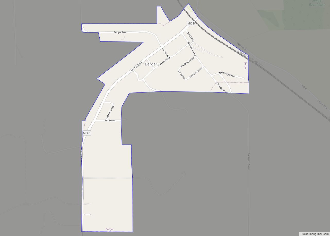
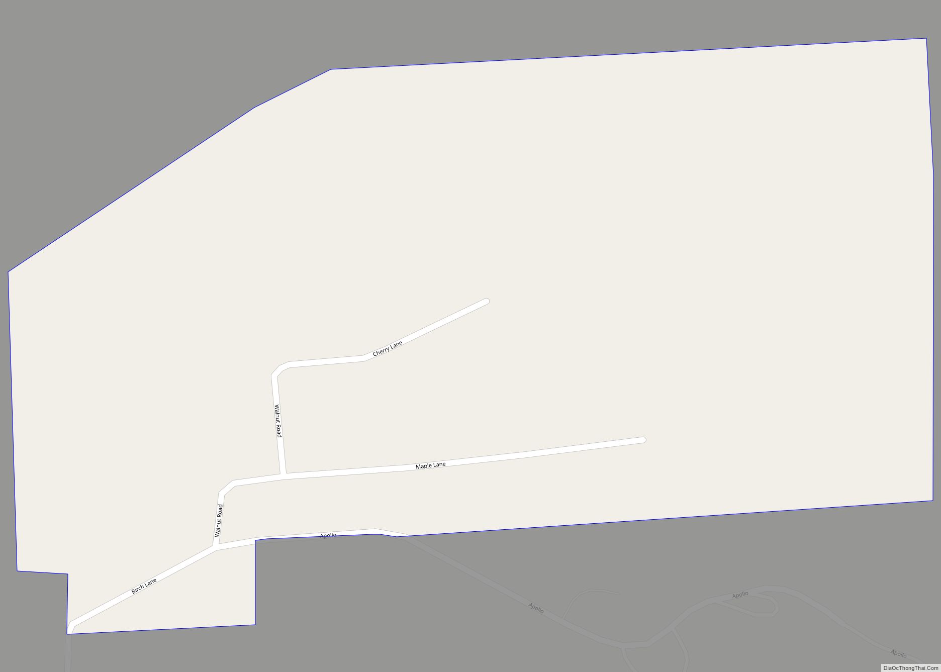
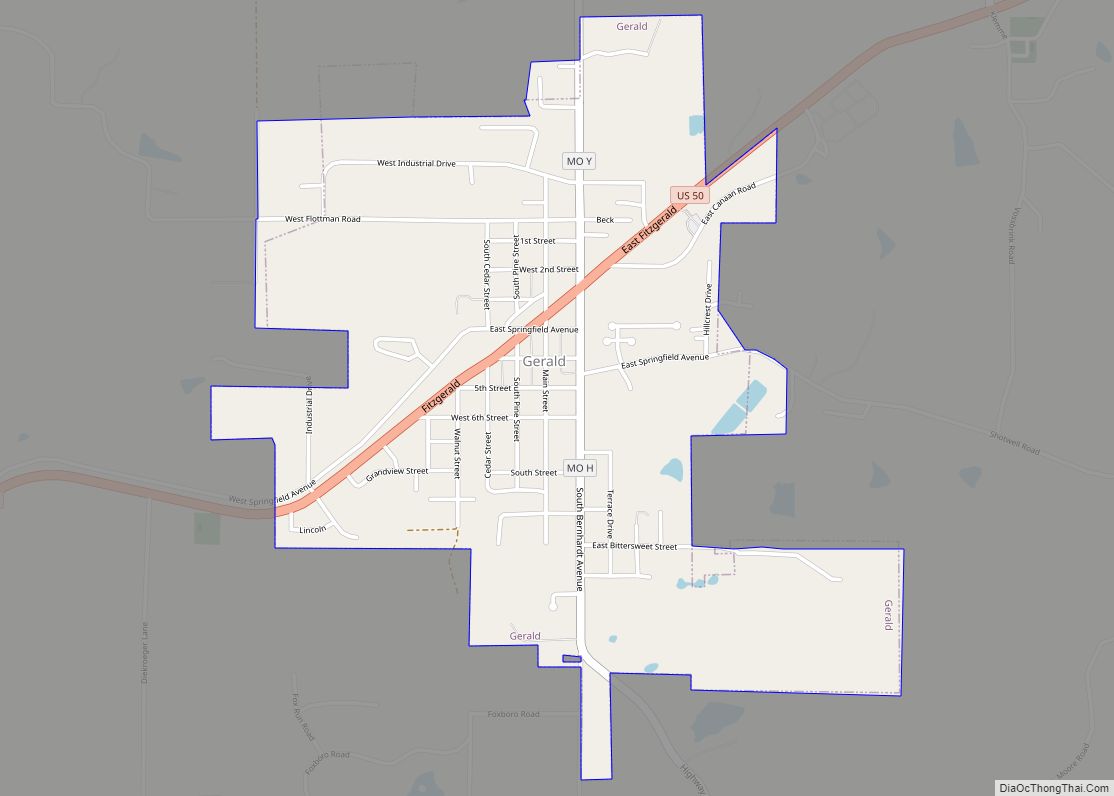
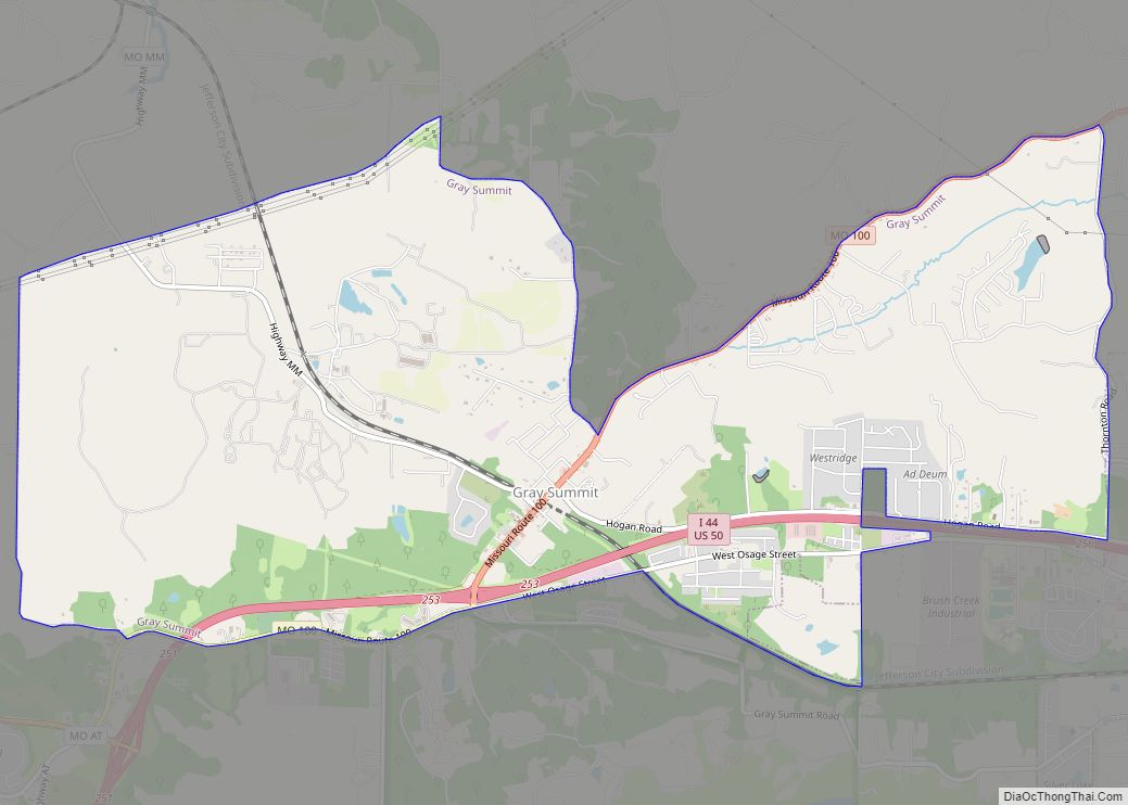
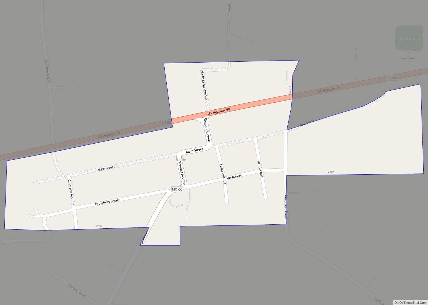
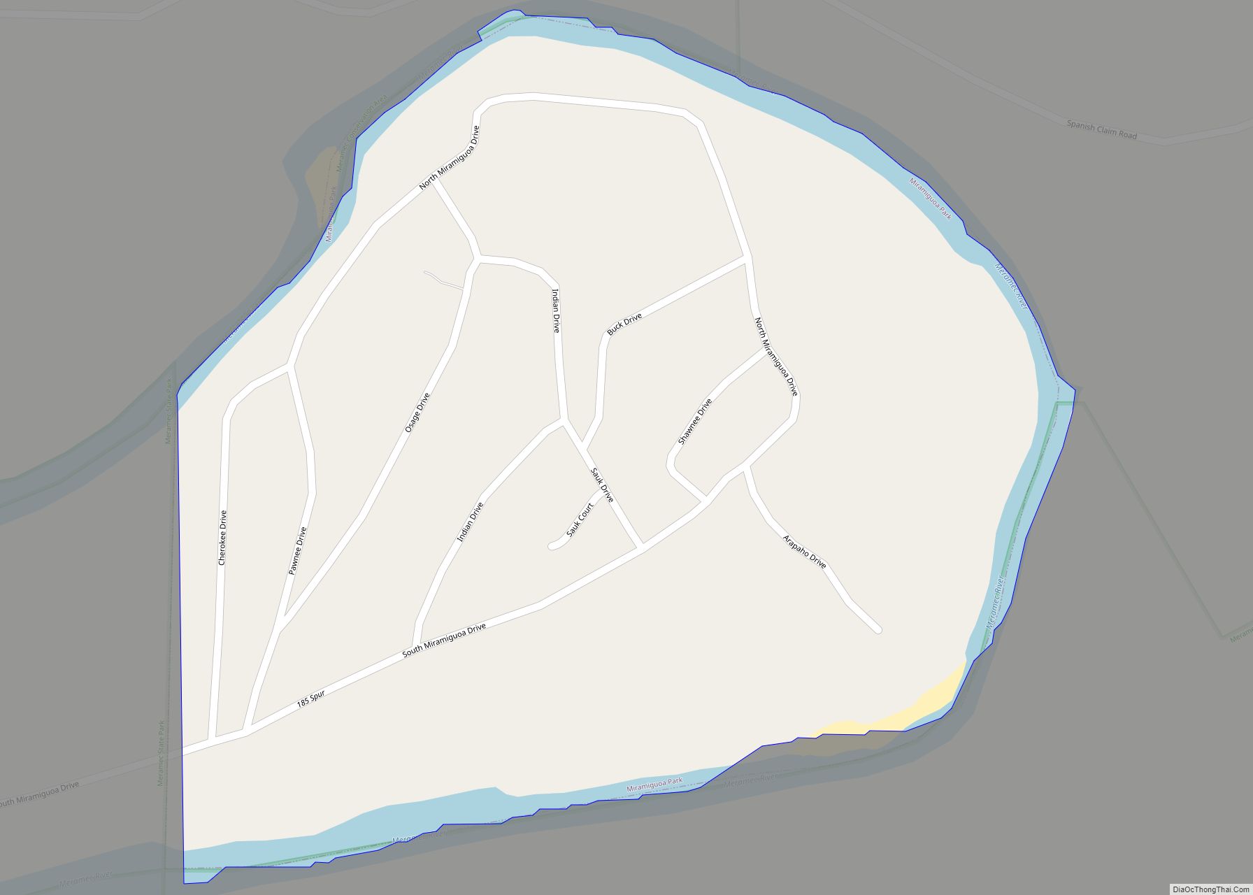
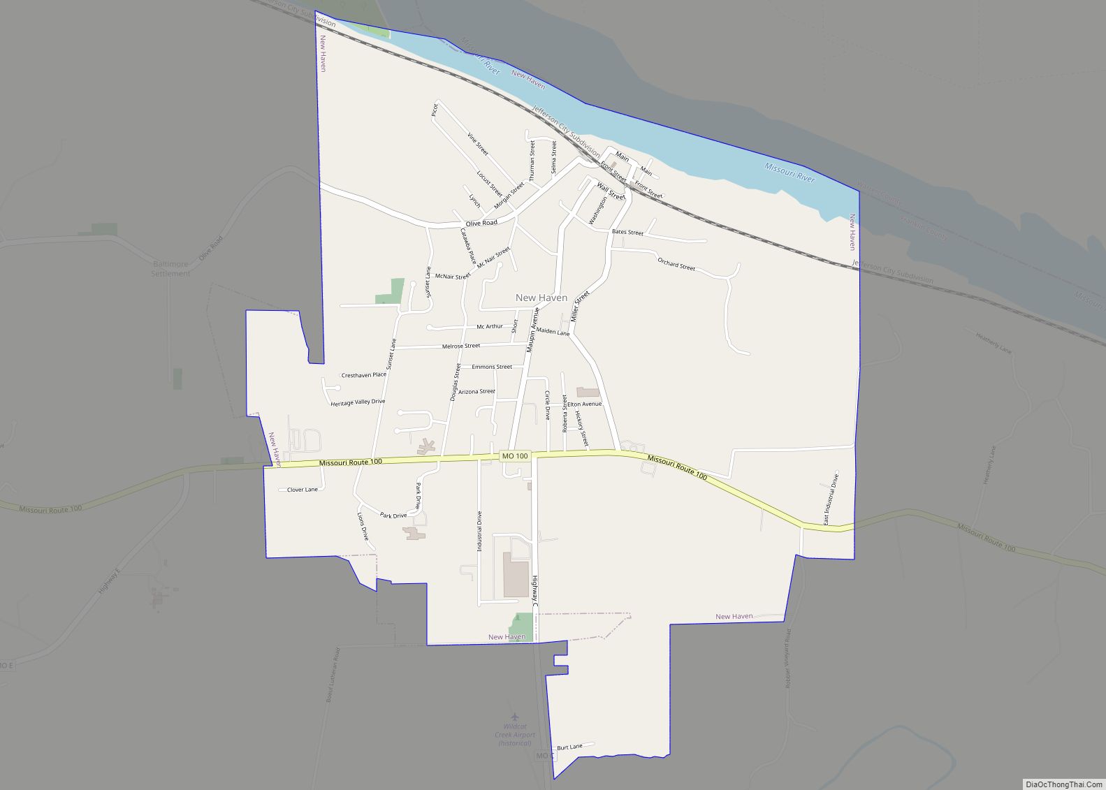
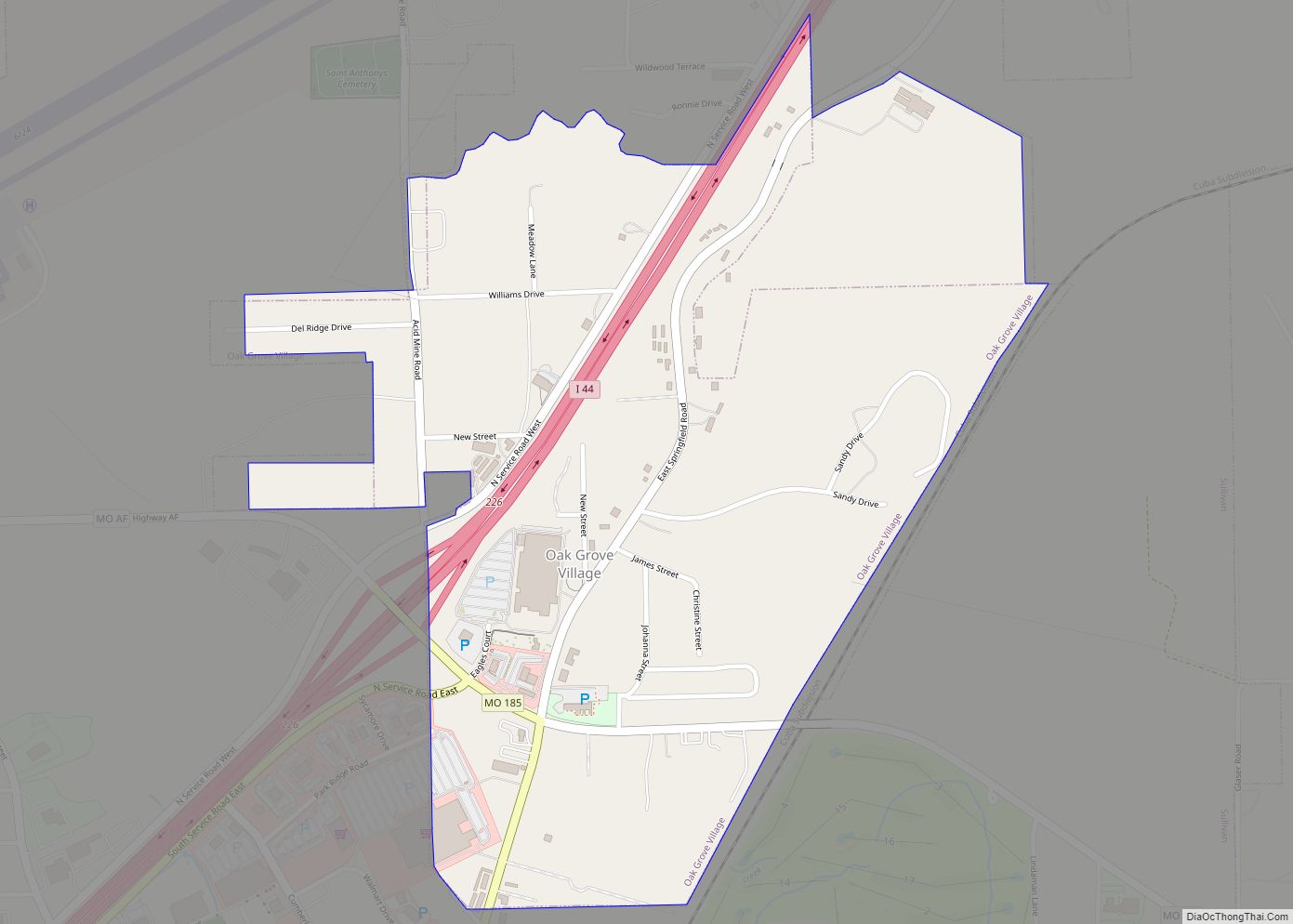
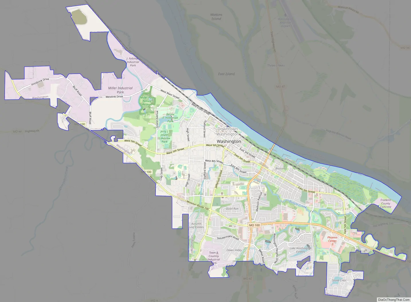
Online Interactive Map
Click on ![]() to view map in "full screen" mode.
to view map in "full screen" mode.
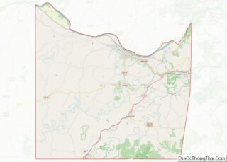
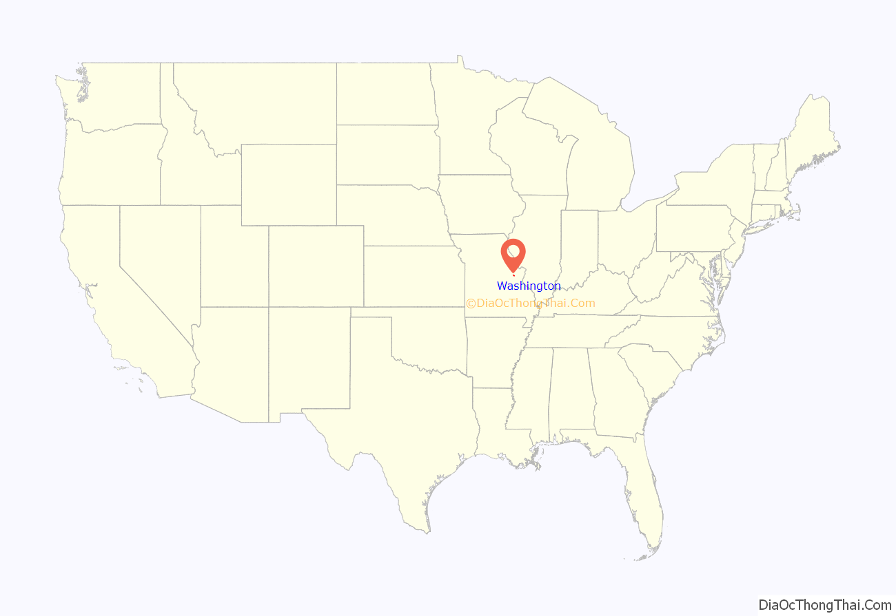
Washington location map. Where is Washington city?
History
Named after George Washington after it came under American control, the town was first settled during the rule of the Spanish Empire. It was originally called St. John Meyer’s Settlement and was the site of the Spanish log fort, San Juan del Misuri (1796–1803).
Family and followers of Daniel Boone settled the area across the river from Washington, Missouri starting in 1799. In 1814 a ferry boat was licensed for crossing the Missouri River to the north and the settlement became known as Washington Landing. In 1827 a town was laid out, with sale of lots starting in 1829. The cost of land was waived if the buyer could build a substantial house within two years. This encouraged many new settlers.
Substantial numbers of anti-slavery German families started moving to the town in 1833, and they soon overwhelmed the existing population of slaveowners. However, many of the original slaveowner’s homes still remain throughout the town. Washington became a strong supporter of the Union during the American Civil War. The town was ransacked by Confederate General Sterling Price’s soldiers, but they were unable to keep control of the area.
After the war, Washington became a railroad and steamboat transportation center. Its manufacturing industry while strong, is not as vibrant as it was decades ago. The town of Washington has 445 buildings on the National Register of Historic Places. Due to its historic charm, Washington has a growing heritage tourism industry, with visitors also attracted to the nearby Missouri Rhineland.
The Washington Bridge was constructed in 1934 and was the only bridge spanning the Missouri River in Franklin County. It was replaced with a new, wider bridge which was opened to traffic on December 3, 2018. The original bridge was demolished on April 13, 2019.
In 1988, the first Walmart Supercenter opened in Washington.
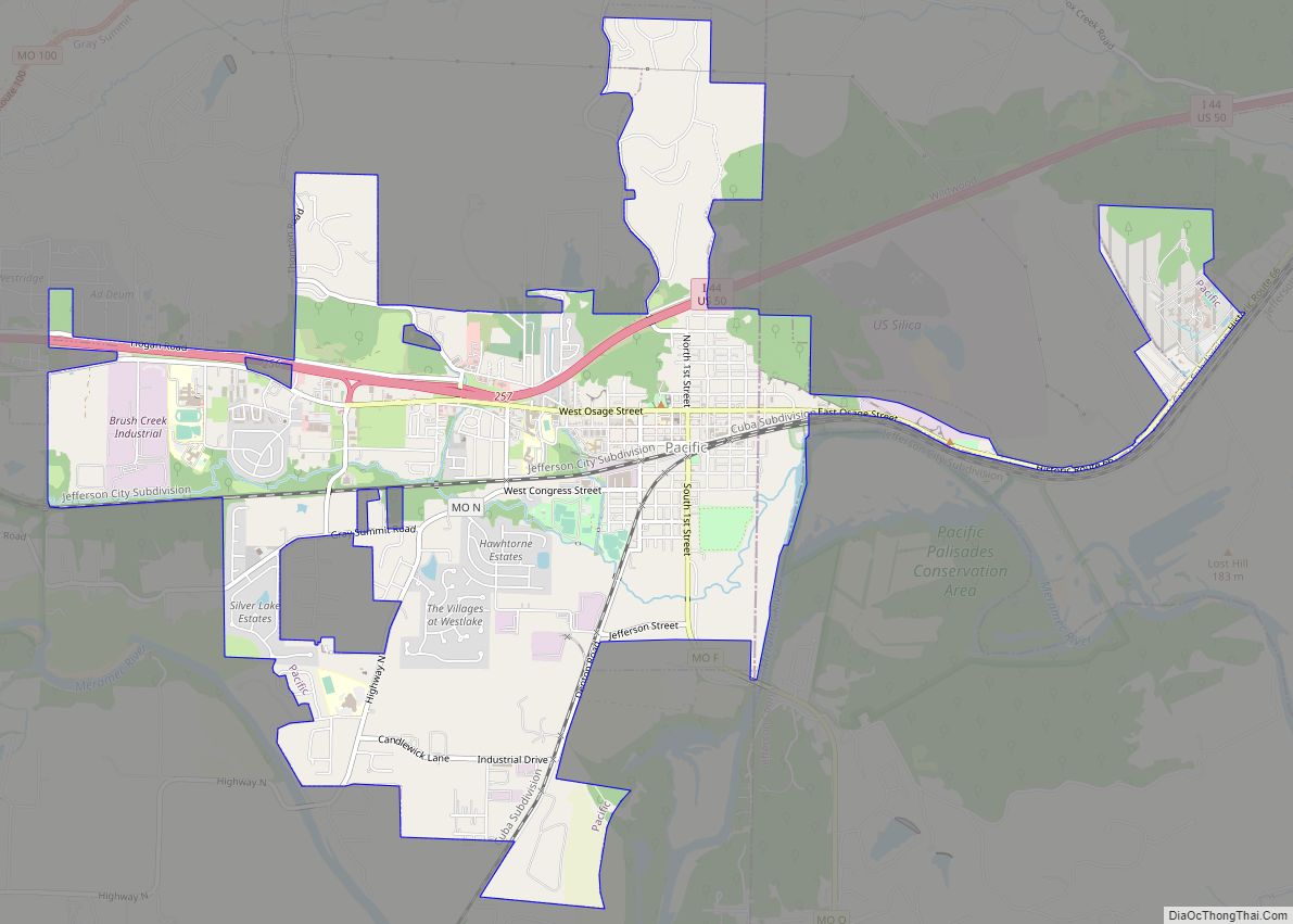
Washington Road Map
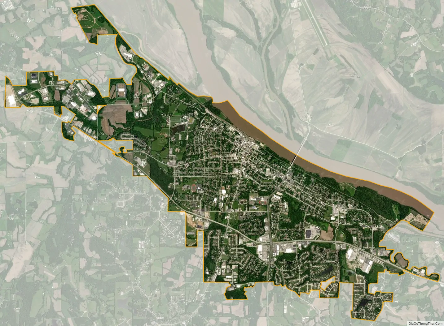
Washington city Satellite Map
Geography
According to the United States Census Bureau, the city has a total area of 9.87 square miles (25.56 km), of which 9.34 square miles (24.19 km) is land and 0.53 square miles (1.37 km) is water. The majority of annual precipitation falls during the humid springs and summers. Typically, fall and winter are relatively dry. While snow is not rare, it is not as frequent as in the upper Midwest. An average of 19 inches falls annually.
Climate
See also
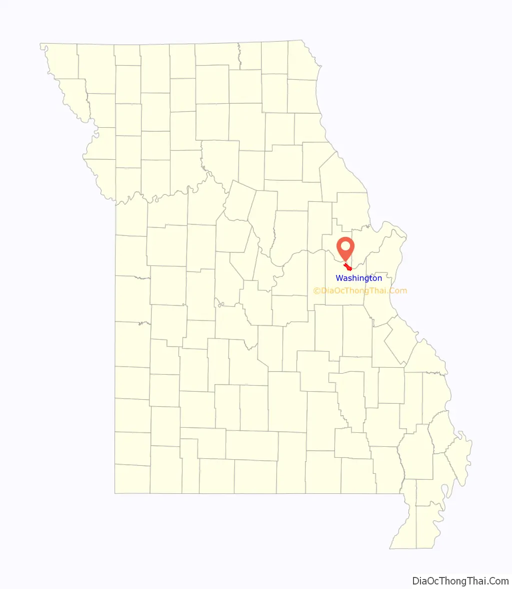
Map of Missouri State and its subdivision:- Adair
- Andrew
- Atchison
- Audrain
- Barry
- Barton
- Bates
- Benton
- Bollinger
- Boone
- Buchanan
- Butler
- Caldwell
- Callaway
- Camden
- Cape Girardeau
- Carroll
- Carter
- Cass
- Cedar
- Chariton
- Christian
- Clark
- Clay
- Clinton
- Cole
- Cooper
- Crawford
- Dade
- Dallas
- Daviess
- De Kalb
- Dent
- Douglas
- Dunklin
- Franklin
- Gasconade
- Gentry
- Greene
- Grundy
- Harrison
- Henry
- Hickory
- Holt
- Howard
- Howell
- Iron
- Jackson
- Jasper
- Jefferson
- Johnson
- Knox
- Laclede
- Lafayette
- Lawrence
- Lewis
- Lincoln
- Linn
- Livingston
- Macon
- Madison
- Maries
- Marion
- McDonald
- Mercer
- Miller
- Mississippi
- Moniteau
- Monroe
- Montgomery
- Morgan
- New Madrid
- Newton
- Nodaway
- Oregon
- Osage
- Ozark
- Pemiscot
- Perry
- Pettis
- Phelps
- Pike
- Platte
- Polk
- Pulaski
- Putnam
- Ralls
- Randolph
- Ray
- Reynolds
- Ripley
- Saint Charles
- Saint Clair
- Saint Francois
- Saint Louis
- Sainte Genevieve
- Saline
- Schuyler
- Scotland
- Scott
- Shannon
- Shelby
- Stoddard
- Stone
- Sullivan
- Taney
- Texas
- Vernon
- Warren
- Washington
- Wayne
- Webster
- Worth
- Wright
- Alabama
- Alaska
- Arizona
- Arkansas
- California
- Colorado
- Connecticut
- Delaware
- District of Columbia
- Florida
- Georgia
- Hawaii
- Idaho
- Illinois
- Indiana
- Iowa
- Kansas
- Kentucky
- Louisiana
- Maine
- Maryland
- Massachusetts
- Michigan
- Minnesota
- Mississippi
- Missouri
- Montana
- Nebraska
- Nevada
- New Hampshire
- New Jersey
- New Mexico
- New York
- North Carolina
- North Dakota
- Ohio
- Oklahoma
- Oregon
- Pennsylvania
- Rhode Island
- South Carolina
- South Dakota
- Tennessee
- Texas
- Utah
- Vermont
- Virginia
- Washington
- West Virginia
- Wisconsin
- Wyoming