Wingate is a town in Union County, North Carolina, United States. The population was 3,491 at the 2010 census.
| Name: | Wingate town |
|---|---|
| LSAD Code: | 43 |
| LSAD Description: | town (suffix) |
| State: | North Carolina |
| County: | Union County |
| Elevation: | 587 ft (179 m) |
| Total Area: | 2.25 sq mi (5.83 km²) |
| Land Area: | 2.23 sq mi (5.78 km²) |
| Water Area: | 0.02 sq mi (0.05 km²) |
| Total Population: | 4,055 |
| Population Density: | 1,816.76/sq mi (701.61/km²) |
| ZIP code: | 28174 |
| Area code: | 704 |
| FIPS code: | 3774760 |
| GNISfeature ID: | 0997487 |
| Website: | www.townofwingatenc.gov |
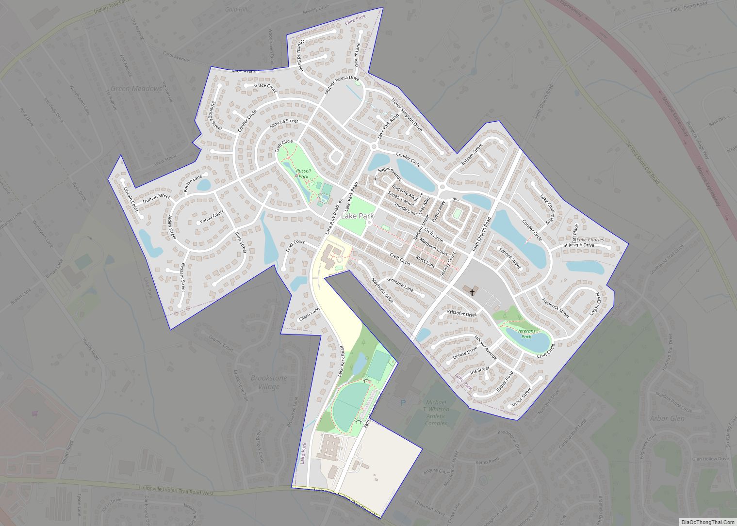
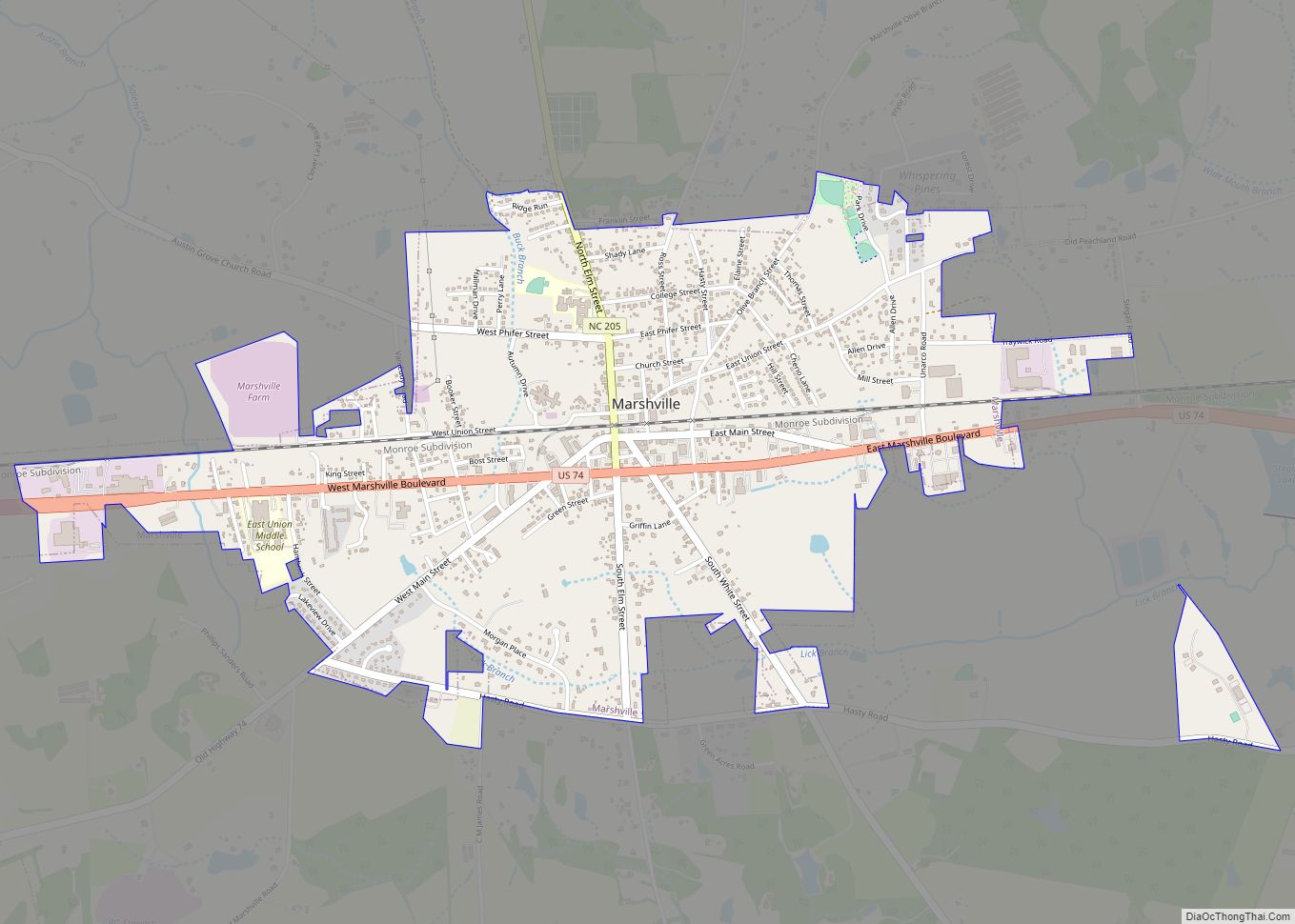
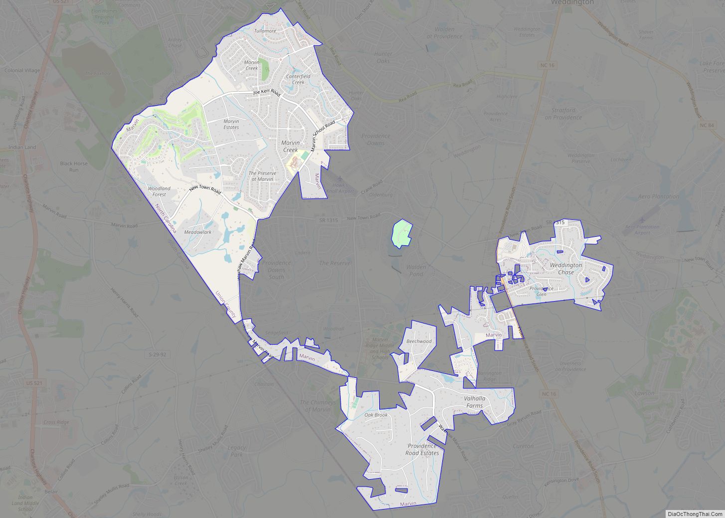
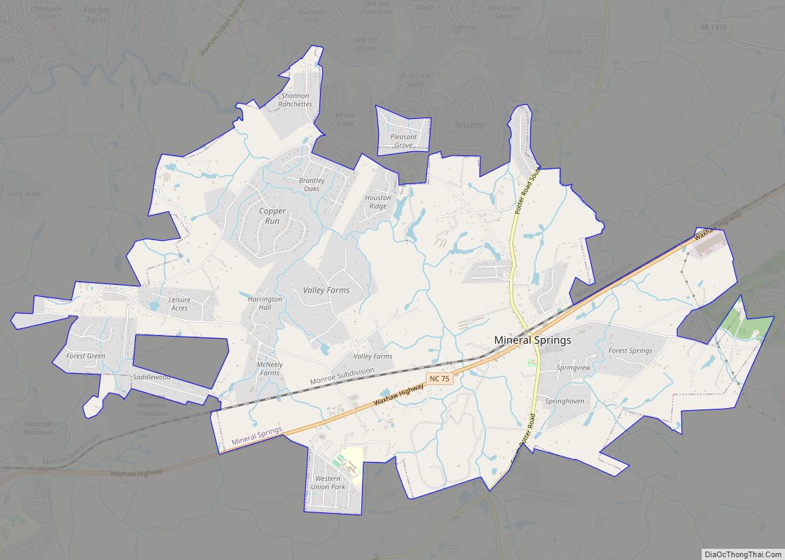
Online Interactive Map
Click on ![]() to view map in "full screen" mode.
to view map in "full screen" mode.
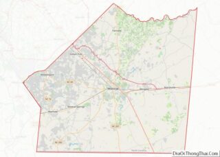
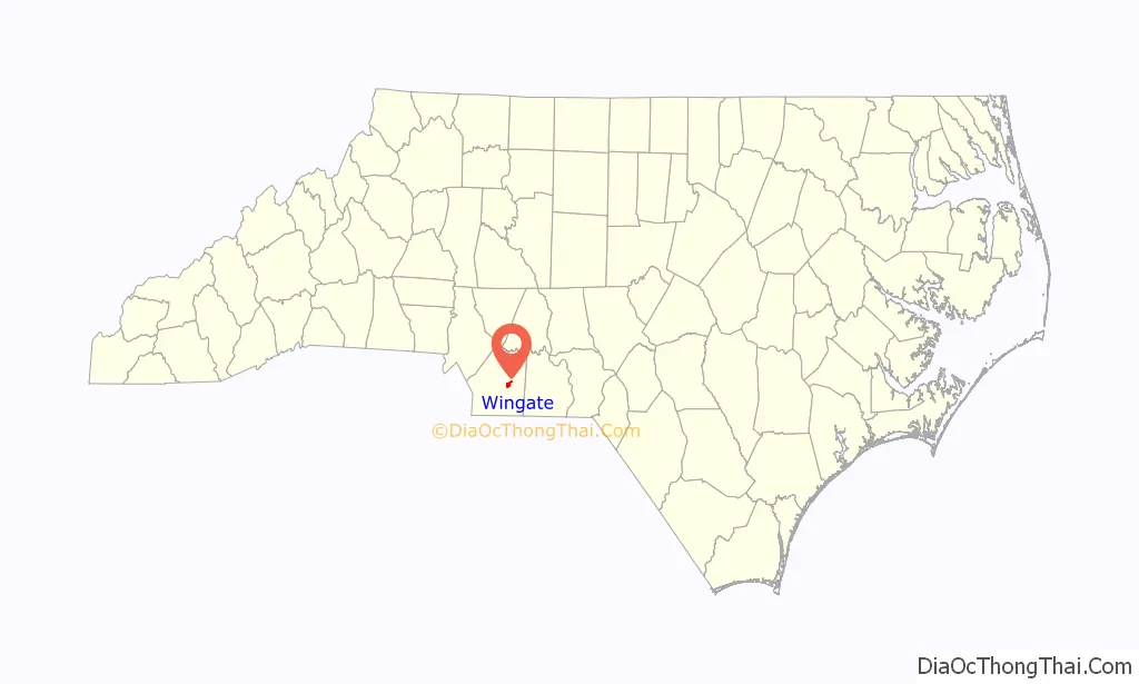
Wingate location map. Where is Wingate town?

History
The Wingate Commercial Historic District was listed on the National Register of Historic Places in 2014. It is named for Washington Manly Wingate.
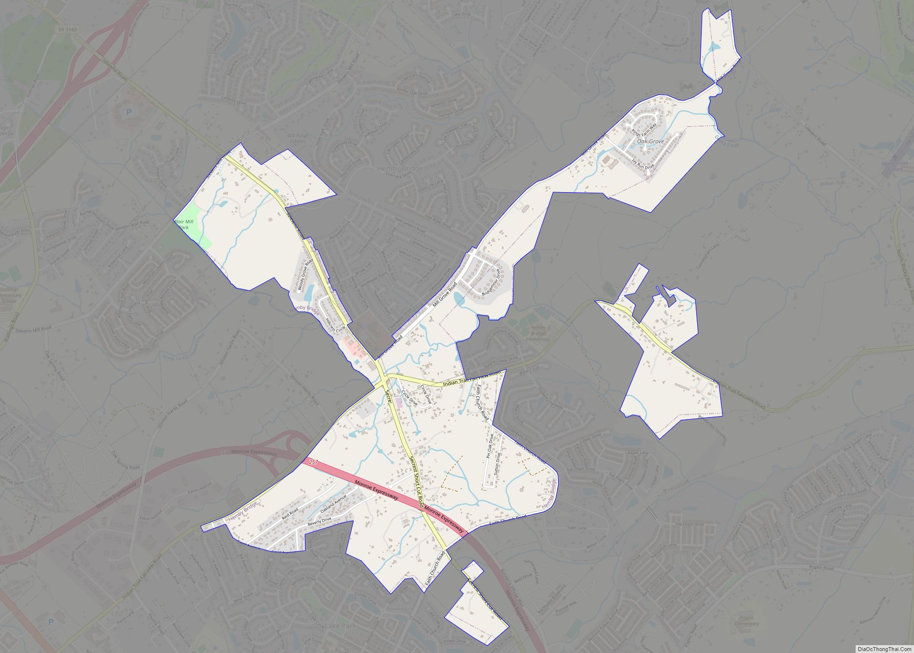
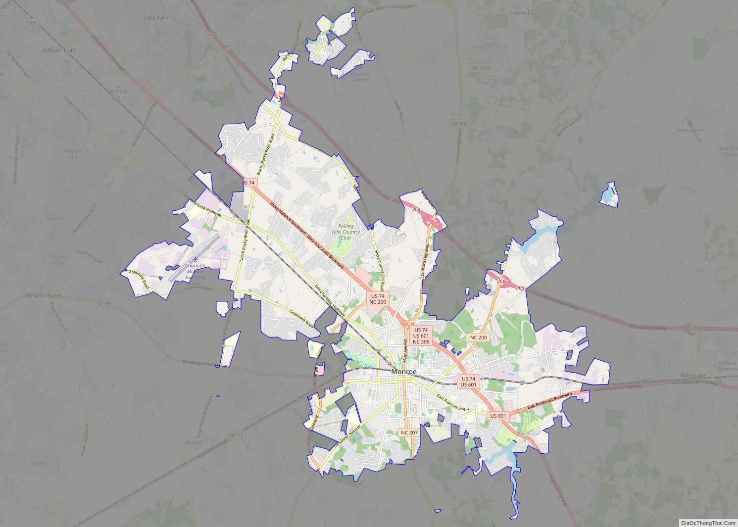
Wingate Road Map

Wingate city Satellite Map

Geography
Wingate is located at 34°59′6″N 80°26′50″W / 34.98500°N 80.44722°W / 34.98500; -80.44722 (34.985021, -80.447254).
According to the United States Census Bureau, the town has a total area of 1.7 square miles (4.4 km), all land.
Wingate is drained by tributaries to Richardson Creek, including Rays Fork and Meadow Branch.
See also
Map of North Carolina State and its subdivision:- Alamance
- Alexander
- Alleghany
- Anson
- Ashe
- Avery
- Beaufort
- Bertie
- Bladen
- Brunswick
- Buncombe
- Burke
- Cabarrus
- Caldwell
- Camden
- Carteret
- Caswell
- Catawba
- Chatham
- Cherokee
- Chowan
- Clay
- Cleveland
- Columbus
- Craven
- Cumberland
- Currituck
- Dare
- Davidson
- Davie
- Duplin
- Durham
- Edgecombe
- Forsyth
- Franklin
- Gaston
- Gates
- Graham
- Granville
- Greene
- Guilford
- Halifax
- Harnett
- Haywood
- Henderson
- Hertford
- Hoke
- Hyde
- Iredell
- Jackson
- Johnston
- Jones
- Lee
- Lenoir
- Lincoln
- Macon
- Madison
- Martin
- McDowell
- Mecklenburg
- Mitchell
- Montgomery
- Moore
- Nash
- New Hanover
- Northampton
- Onslow
- Orange
- Pamlico
- Pasquotank
- Pender
- Perquimans
- Person
- Pitt
- Polk
- Randolph
- Richmond
- Robeson
- Rockingham
- Rowan
- Rutherford
- Sampson
- Scotland
- Stanly
- Stokes
- Surry
- Swain
- Transylvania
- Tyrrell
- Union
- Vance
- Wake
- Warren
- Washington
- Watauga
- Wayne
- Wilkes
- Wilson
- Yadkin
- Yancey
- Alabama
- Alaska
- Arizona
- Arkansas
- California
- Colorado
- Connecticut
- Delaware
- District of Columbia
- Florida
- Georgia
- Hawaii
- Idaho
- Illinois
- Indiana
- Iowa
- Kansas
- Kentucky
- Louisiana
- Maine
- Maryland
- Massachusetts
- Michigan
- Minnesota
- Mississippi
- Missouri
- Montana
- Nebraska
- Nevada
- New Hampshire
- New Jersey
- New Mexico
- New York
- North Carolina
- North Dakota
- Ohio
- Oklahoma
- Oregon
- Pennsylvania
- Rhode Island
- South Carolina
- South Dakota
- Tennessee
- Texas
- Utah
- Vermont
- Virginia
- Washington
- West Virginia
- Wisconsin
- Wyoming