Robbins is a city in Moore County, North Carolina, United States. The population was 1,097 at the 2010 census.
| Name: | Robbins town |
|---|---|
| LSAD Code: | 43 |
| LSAD Description: | town (suffix) |
| State: | North Carolina |
| County: | Moore County |
| Incorporated: | 1935 |
| Elevation: | 440 ft (134 m) |
| Total Area: | 1.59 sq mi (4.12 km²) |
| Land Area: | 1.59 sq mi (4.12 km²) |
| Water Area: | 0.00 sq mi (0.00 km²) |
| Total Population: | 1,168 |
| Population Density: | 733.67/sq mi (283.28/km²) |
| ZIP code: | 27325 |
| FIPS code: | 3757000 |
| GNISfeature ID: | 0993441 |
| Website: | www.townofrobbins.com |
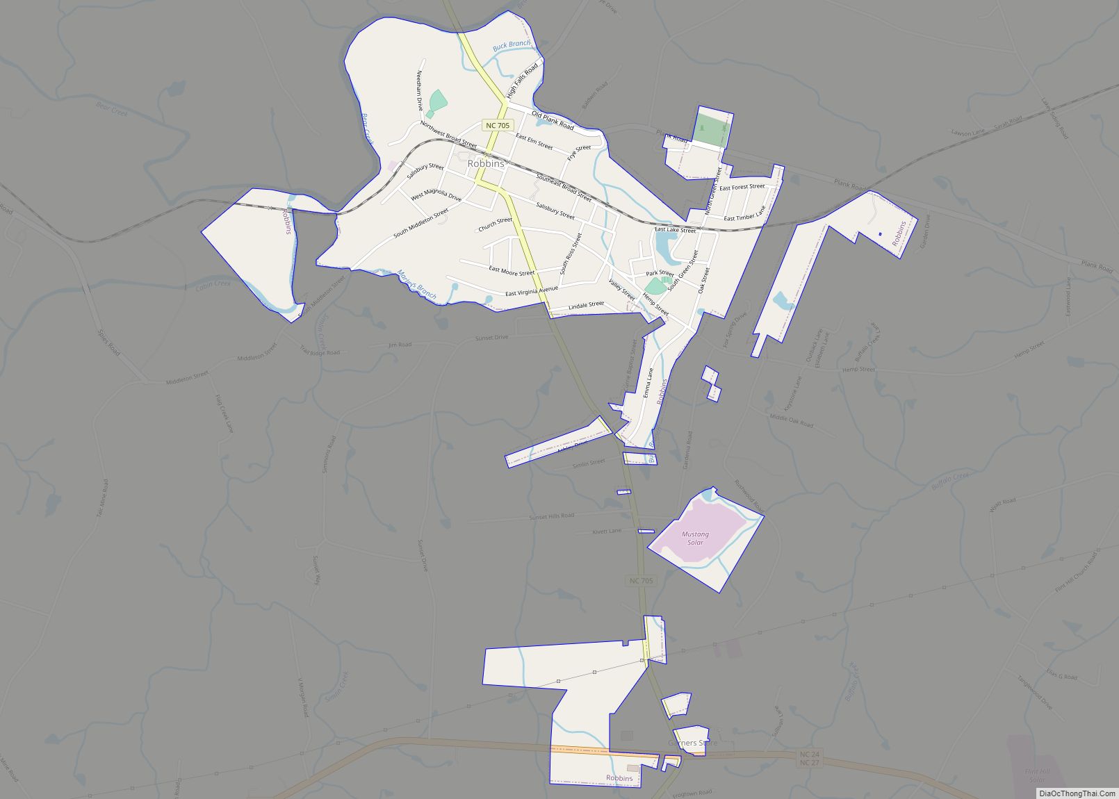
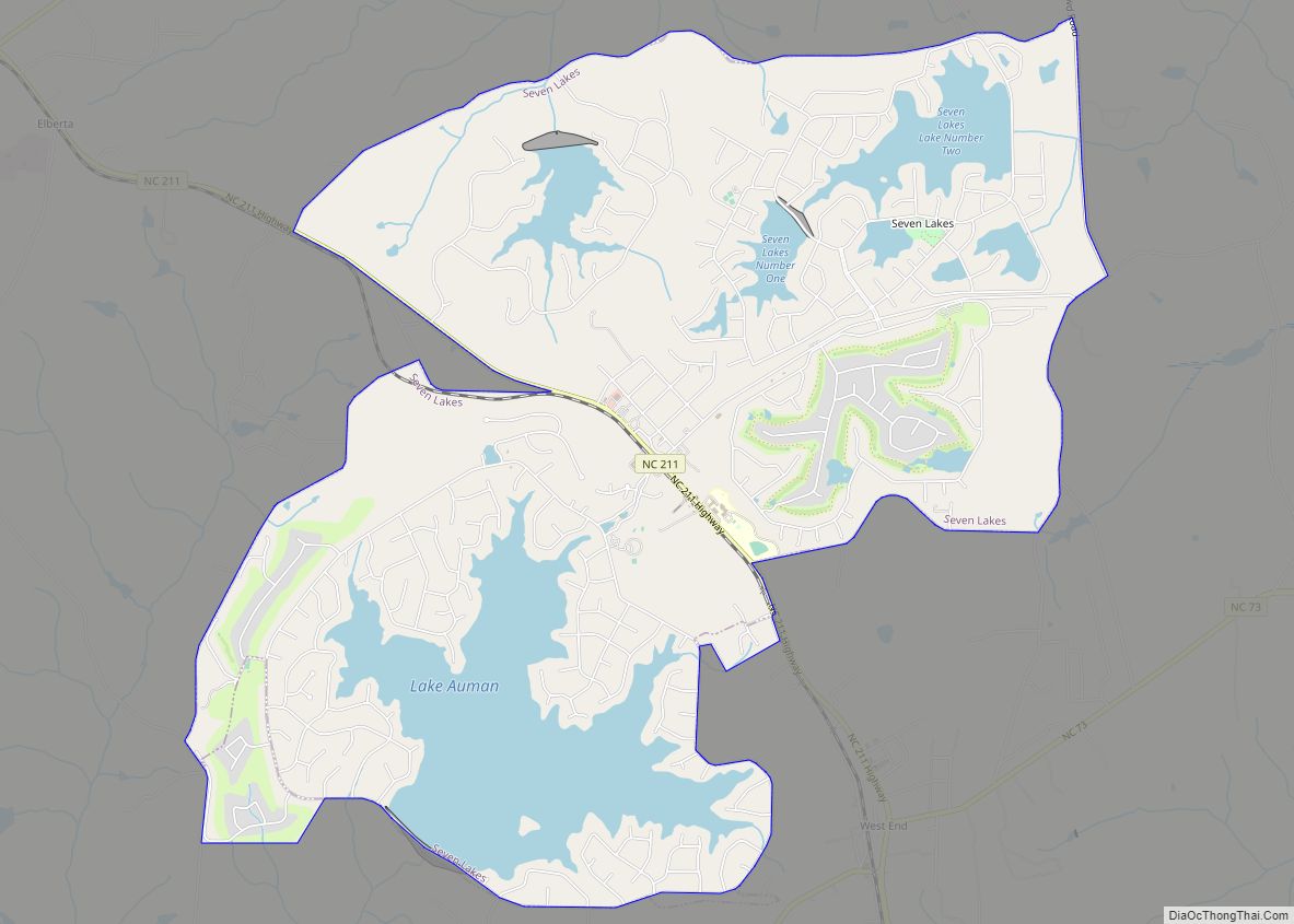
Online Interactive Map
Click on ![]() to view map in "full screen" mode.
to view map in "full screen" mode.
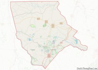
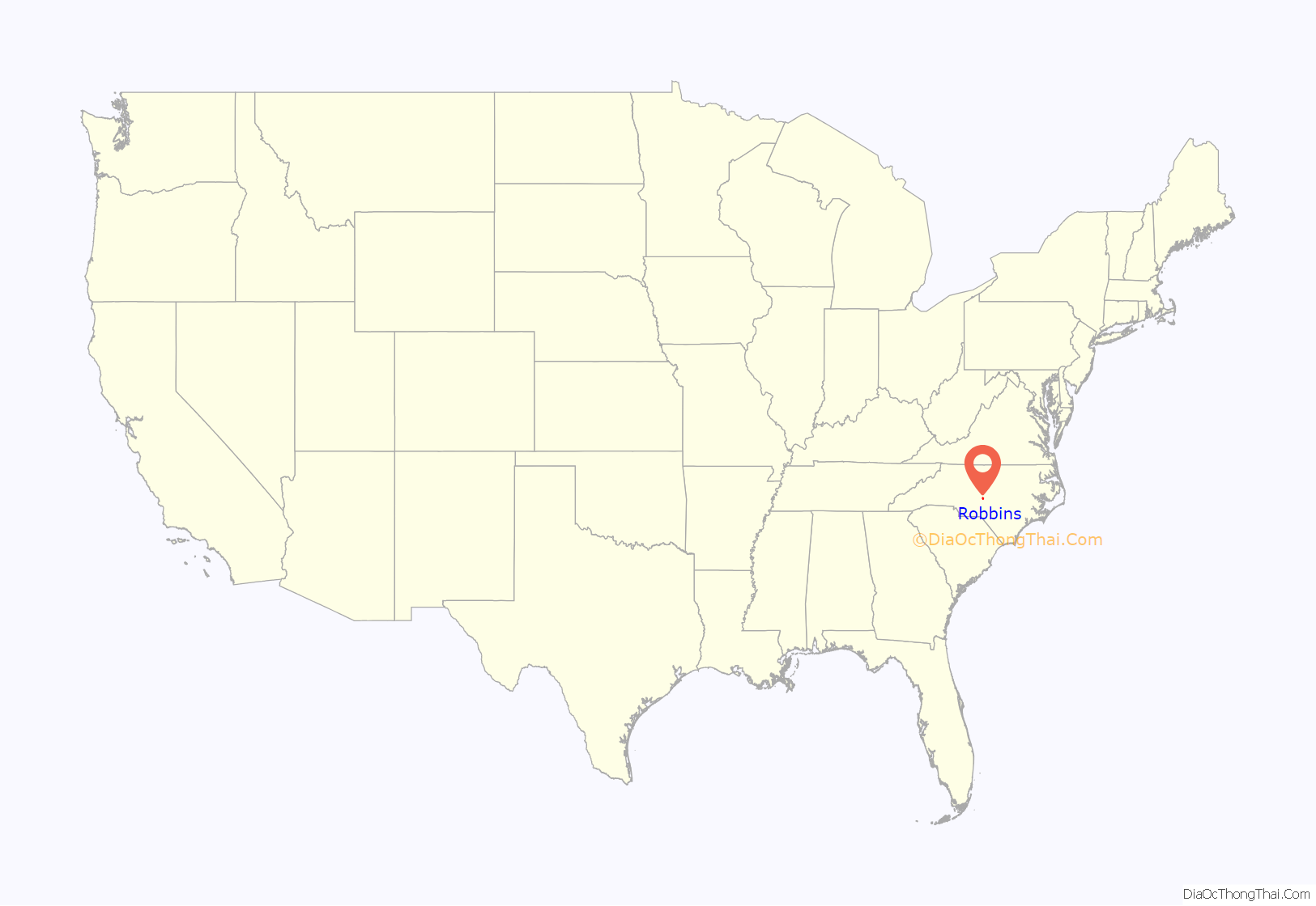
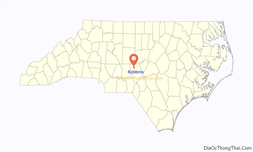
Robbins location map. Where is Robbins town?
History
The town, now known as Robbins, actually began in 1795 when gunsmith Alexander Kennedy and his family left Philadelphia to settle along Bear Creek. Kennedy set up a factory, which produced long rifles for American soldiers, near the site of the present day Robbins Water Plant. The Kennedy Rifle Works continued in operation until 1838 and the place became known as Mechanics Hill.
In 1891, the Durham and Charlotte Railroad connected Gulf in Chatham County to Troy in Montgomery County. The railroad reached Mechanics Hill around 1899. Railroad construction added many jobs and greatly increased the number of settlers. The railroad not only created its own jobs, it generated commerce by providing a ready means of transportation for turpentine, talc, pottery, lumber, agricultural products, and passengers. John B. Lennig was president and owner of the company (frequently misspelled as Lenning). Lennig’s tenure with the company was off-and-on for about 12 years. During that time, town lots and streets were designed. A map was registered at the Moore County Register of Deeds Office on March 24, 1900, and the town was named Elise (pronounced alise), in honor of Lennig’s daughter.
In 1896, the John L. Frye Company, a producer of lumber for the rail and pallet industries, was established. Railroads across the US are supported by cross ties made in Robbins. John Lennig Frye, a past mayor, was named after John B. Lennig, the railroad owner.
Education was a major concern for the citizens of Elise and the surrounding communities. Some local businessmen and Lennig met many times to discuss these concerns. These meetings resulted in the founding of Elise Academy in 1904. The academy had a very proud standing and children from the town, and from other states and countries, made up the first class. Elise Academy operated until 1940, when it was sold to the Moore County Board of Education. In 1940, Kennedy Funeral Home bought the Arrowhead Dormitory to use as the primary funeral location for the town. It is still used for that purpose today in the center of town.
In 1890, the inventor Thomas Edison visited the town to take option on gold mining interests in the Carter’s Mill area. Between 1923 and 1924, generators were installed at Carter’s Mill, along Bear Creek, adjacent to Elise, and the first power was supplied to this area. In 1924 and 1925, William Cowgill built the first textile plant here, operating it as Moore Mills Textiles Plant. Three different companies operated that mill until September 1930, when Karl Robbins (1892-1960), a Russian-American manufacturer and philanthropist, purchased the mill and renamed it Pinehurst Silk Mills.
In 1935, the town’s name was changed again. The name was changed to Hemp, to avoid confusion between Elise and another town in North Carolina that had a similar name. For a while, the train depot had Elise on the track side and Hemp over the mail room side.
Karl Robbins brought great prominence to Hemp. He was responsible for a modern water treatment plant and a wastewater disposal system being completed in 1937. He also provided for recreational facilities, dial telephone service, a new firetruck, and a baseball park. Robbins started a non profit, Pinelands, and gave or loaned the first $400,000 for Research Triangle Park to be started just outside of Raleigh, North Carolina at the request of Governor Luther Hodges, who was a close personal friend of Mayor W.P. Saunders.
In honor of Karl Robbins, the citizens of Hemp changed the name of the town to Robbins. The name of the town officially became Robbins in 1943, by act of the North Carolina General Assembly.
Later industries included a poultry processing plant, a mobile home manufacturing plant, and several textile mills. Ithaca Industries was a textile manufacturer that produced women’s hosiery. At the height of its operation, the plant employed 1,100 people.
Robbins, like other rural towns in the South, suffered a loss to its manufacturing base that escalated during the 1990s. According to the Employment Security Commission, Robbins has lost 1,447 jobs since 1990. With the loss of jobs and manufacturing, the town lost a large portion of its water and sewer customers.
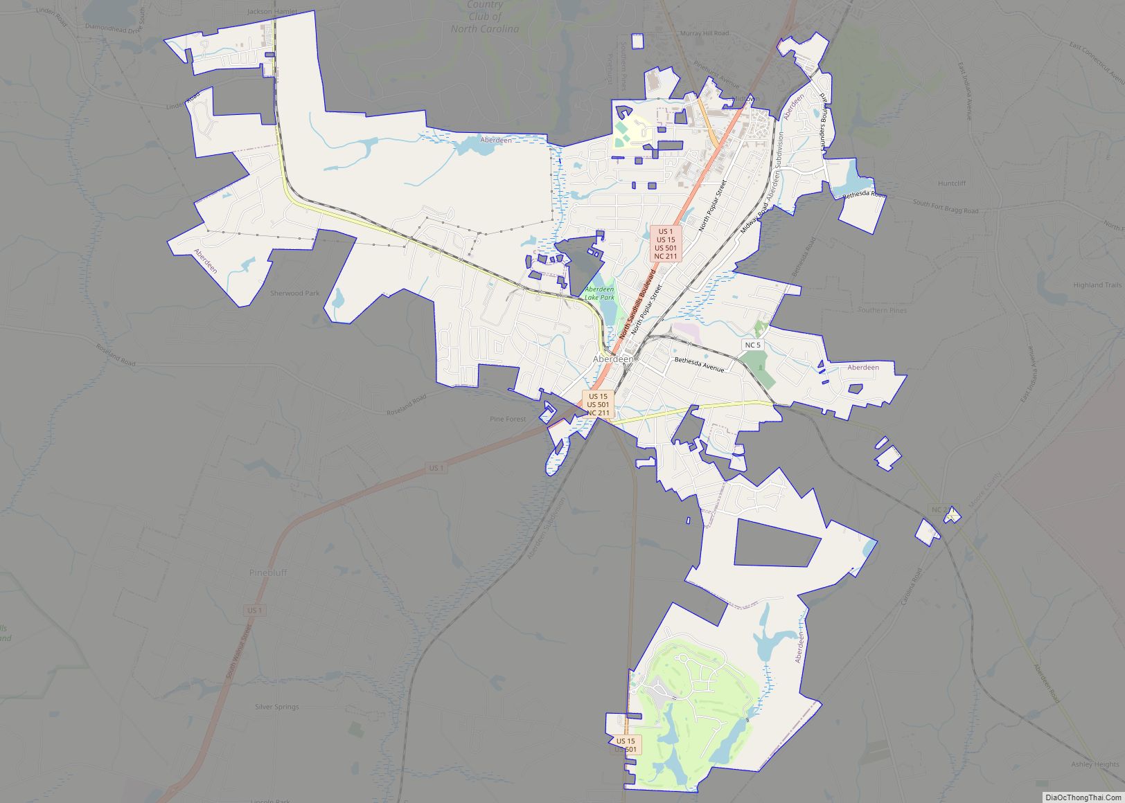
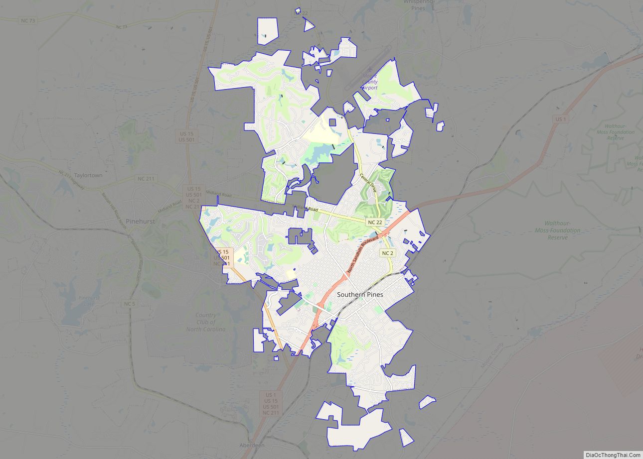
Robbins Road Map

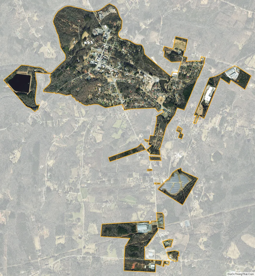
Robbins city Satellite Map
Geography
Robbins is located at 35°25′48″N 79°34′49″W / 35.43000°N 79.58028°W / 35.43000; -79.58028 (35.430024, -79.580284).
Robbins is located on North Carolina Highway 705, the Pottery Highway.
According to the United States Census Bureau, the city has a total area of 1.3 square miles (3.4 km), all land.
See also
Map of North Carolina State and its subdivision:- Alamance
- Alexander
- Alleghany
- Anson
- Ashe
- Avery
- Beaufort
- Bertie
- Bladen
- Brunswick
- Buncombe
- Burke
- Cabarrus
- Caldwell
- Camden
- Carteret
- Caswell
- Catawba
- Chatham
- Cherokee
- Chowan
- Clay
- Cleveland
- Columbus
- Craven
- Cumberland
- Currituck
- Dare
- Davidson
- Davie
- Duplin
- Durham
- Edgecombe
- Forsyth
- Franklin
- Gaston
- Gates
- Graham
- Granville
- Greene
- Guilford
- Halifax
- Harnett
- Haywood
- Henderson
- Hertford
- Hoke
- Hyde
- Iredell
- Jackson
- Johnston
- Jones
- Lee
- Lenoir
- Lincoln
- Macon
- Madison
- Martin
- McDowell
- Mecklenburg
- Mitchell
- Montgomery
- Moore
- Nash
- New Hanover
- Northampton
- Onslow
- Orange
- Pamlico
- Pasquotank
- Pender
- Perquimans
- Person
- Pitt
- Polk
- Randolph
- Richmond
- Robeson
- Rockingham
- Rowan
- Rutherford
- Sampson
- Scotland
- Stanly
- Stokes
- Surry
- Swain
- Transylvania
- Tyrrell
- Union
- Vance
- Wake
- Warren
- Washington
- Watauga
- Wayne
- Wilkes
- Wilson
- Yadkin
- Yancey
- Alabama
- Alaska
- Arizona
- Arkansas
- California
- Colorado
- Connecticut
- Delaware
- District of Columbia
- Florida
- Georgia
- Hawaii
- Idaho
- Illinois
- Indiana
- Iowa
- Kansas
- Kentucky
- Louisiana
- Maine
- Maryland
- Massachusetts
- Michigan
- Minnesota
- Mississippi
- Missouri
- Montana
- Nebraska
- Nevada
- New Hampshire
- New Jersey
- New Mexico
- New York
- North Carolina
- North Dakota
- Ohio
- Oklahoma
- Oregon
- Pennsylvania
- Rhode Island
- South Carolina
- South Dakota
- Tennessee
- Texas
- Utah
- Vermont
- Virginia
- Washington
- West Virginia
- Wisconsin
- Wyoming