Bedford Hills is a hamlet and census-designated place (CDP) in the town of Bedford, Westchester County, New York, United States. The population was 3,001 at the 2010 census. Two New York State prisons for women, Bedford Hills Correctional Facility for Women and Taconic Correctional Facility, are located in the hamlet.
| Name: | Bedford Hills CDP |
|---|---|
| LSAD Code: | 57 |
| LSAD Description: | CDP (suffix) |
| State: | New York |
| County: | Westchester County |
| Elevation: | 341 ft (104 m) |
| Total Area: | 1.02 sq mi (2.66 km²) |
| Land Area: | 1.02 sq mi (2.66 km²) |
| Water Area: | 0.00 sq mi (0.00 km²) |
| Total Population: | 3,239 |
| Population Density: | 3,160.00/sq mi (1,219.82/km²) |
| ZIP code: | 10507 |
| Area code: | 914 |
| FIPS code: | 3605342 |
| GNISfeature ID: | 943491 |
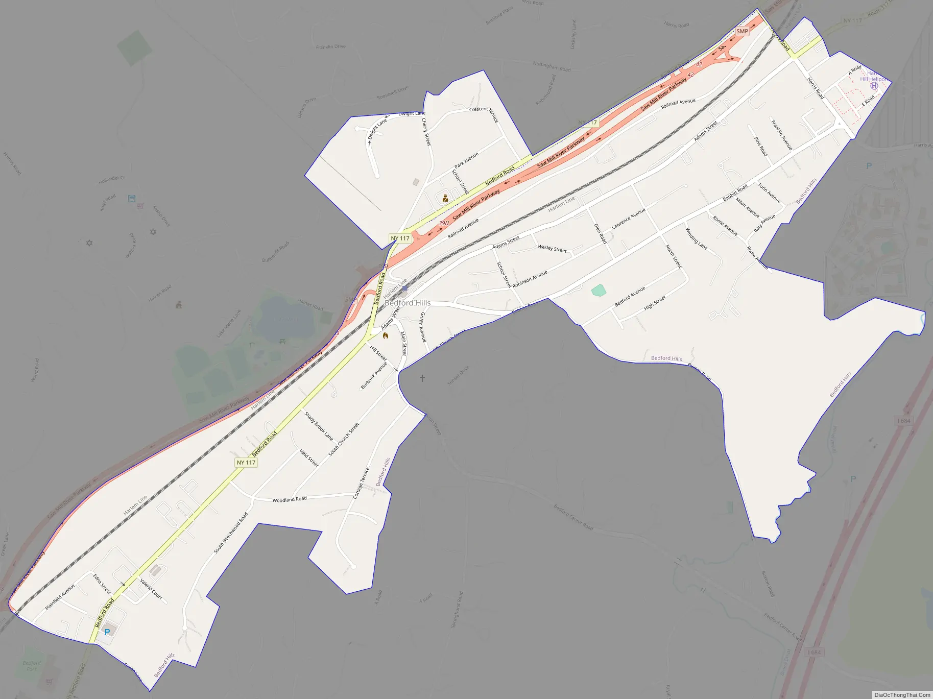
Online Interactive Map
Click on ![]() to view map in "full screen" mode.
to view map in "full screen" mode.
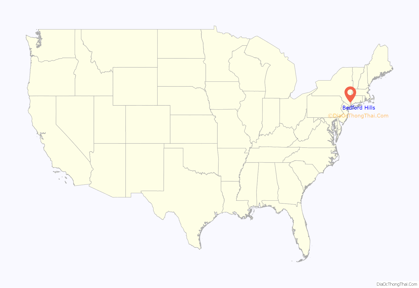
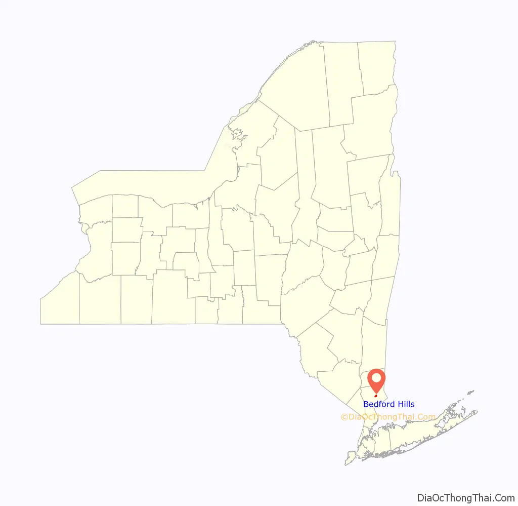
Bedford Hills location map. Where is Bedford Hills CDP?
History
When the railroad was built in 1847, Bedford Hills was known as Bedford Station. Bedford Hills extends from a business center at the railroad station to farms and estates, eastward along Harris, Babbitt and Bedford Center roads and south along the Route 117 business corridor up to Mt. Kisco. Bedford Hills is the seat of government of the town of Bedford. The Town House, built in 1927, and Town buildings containing the Police Department and Town offices are located in Bedford Hills.
The Richard H. Mandel House, designed by Edward Durell Stone, was added to the National Register of Historic Places in 1996.
Bedford Hills is the site of Stepping Stones, the historic home of Alcoholics Anonymous co-founder Bill W. and his wife Lois Burnham Wilson, founder of Al-Anon/Alateen. The home, located at 62 Oak Road in Katonah, is on the National Register of Historic Places, and has become a tour destination for members of 12 Step organizations.
The Community House located on Church Street, was originally built in 1919 to serve the needs of returning World War I veterans. Following that time, it was used for potluck suppers, theater productions, and sport activities.
Bedford Hills Road Map
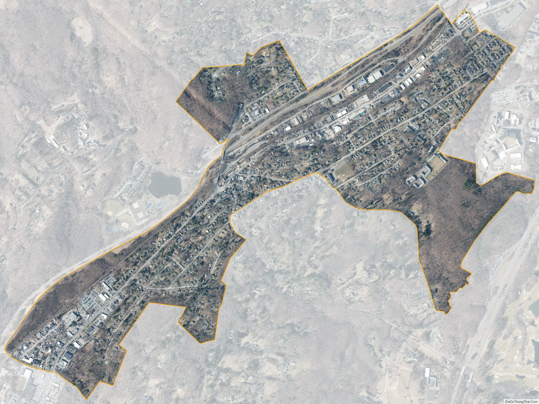
Bedford Hills city Satellite Map
Geography
Bedford Hills is located at 41°14′12″N 073°41′40″W / 41.23667°N 73.69444°W / 41.23667; -73.69444 (41.2367613, -73.6945751) and its elevation is 341 feet (104 m).
According to the United States Census Bureau, Bedford Hills has a total area of 1.006 square miles (2.61 km), all land.
See also
Map of New York State and its subdivision:- Albany
- Allegany
- Bronx
- Broome
- Cattaraugus
- Cayuga
- Chautauqua
- Chemung
- Chenango
- Clinton
- Columbia
- Cortland
- Delaware
- Dutchess
- Erie
- Essex
- Franklin
- Fulton
- Genesee
- Greene
- Hamilton
- Herkimer
- Jefferson
- Kings
- Lake Ontario
- Lewis
- Livingston
- Madison
- Monroe
- Montgomery
- Nassau
- New York
- Niagara
- Oneida
- Onondaga
- Ontario
- Orange
- Orleans
- Oswego
- Otsego
- Putnam
- Queens
- Rensselaer
- Richmond
- Rockland
- Saint Lawrence
- Saratoga
- Schenectady
- Schoharie
- Schuyler
- Seneca
- Steuben
- Suffolk
- Sullivan
- Tioga
- Tompkins
- Ulster
- Warren
- Washington
- Wayne
- Westchester
- Wyoming
- Yates
- Alabama
- Alaska
- Arizona
- Arkansas
- California
- Colorado
- Connecticut
- Delaware
- District of Columbia
- Florida
- Georgia
- Hawaii
- Idaho
- Illinois
- Indiana
- Iowa
- Kansas
- Kentucky
- Louisiana
- Maine
- Maryland
- Massachusetts
- Michigan
- Minnesota
- Mississippi
- Missouri
- Montana
- Nebraska
- Nevada
- New Hampshire
- New Jersey
- New Mexico
- New York
- North Carolina
- North Dakota
- Ohio
- Oklahoma
- Oregon
- Pennsylvania
- Rhode Island
- South Carolina
- South Dakota
- Tennessee
- Texas
- Utah
- Vermont
- Virginia
- Washington
- West Virginia
- Wisconsin
- Wyoming


