Mount Kisco is a village and town in Westchester County, New York, United States. The town of Mount Kisco is coterminous with the village. The population was 10,959 at the 2020 United States census over 10,877 at the 2010 census.
It serves as a significant historic site along the Washington-Rochambeau Revolutionary Route.
| Name: | Mount Kisco village |
|---|---|
| LSAD Code: | 47 |
| LSAD Description: | village (suffix) |
| State: | New York |
| County: | Westchester County |
| Elevation: | 302 ft (92 m) |
| Total Area: | 3.07 sq mi (7.96 km²) |
| Land Area: | 3.04 sq mi (7.88 km²) |
| Water Area: | 0.03 sq mi (0.08 km²) |
| Total Population: | 10,959 |
| Population Density: | 3,603.75/sq mi (1,391.21/km²) |
| ZIP code: | 10549 |
| Area code: | 914 |
| FIPS code: | 3648890 |
| GNISfeature ID: | 0957852 |
| Website: | www.mountkiscony.gov |
Online Interactive Map
Click on ![]() to view map in "full screen" mode.
to view map in "full screen" mode.
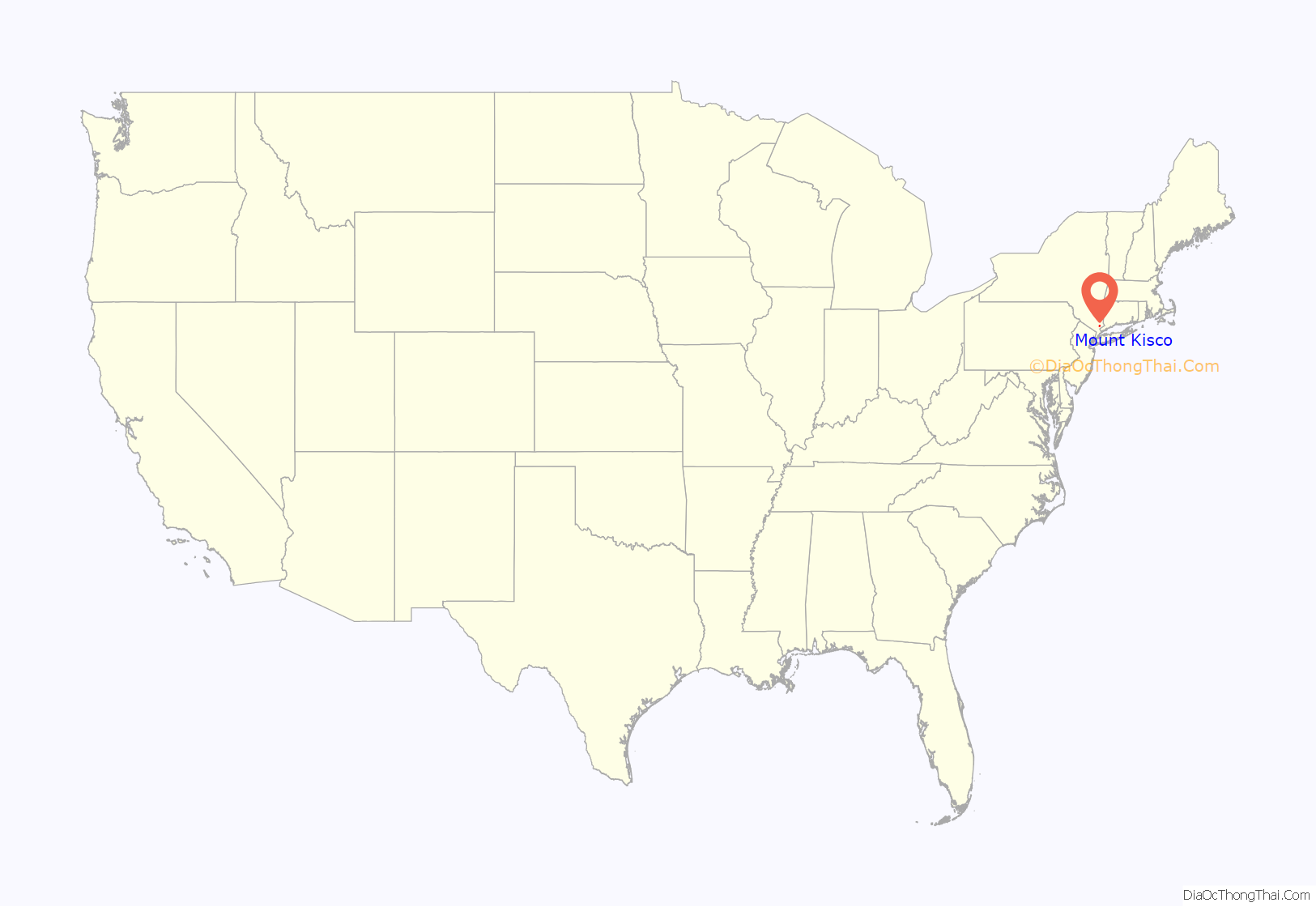
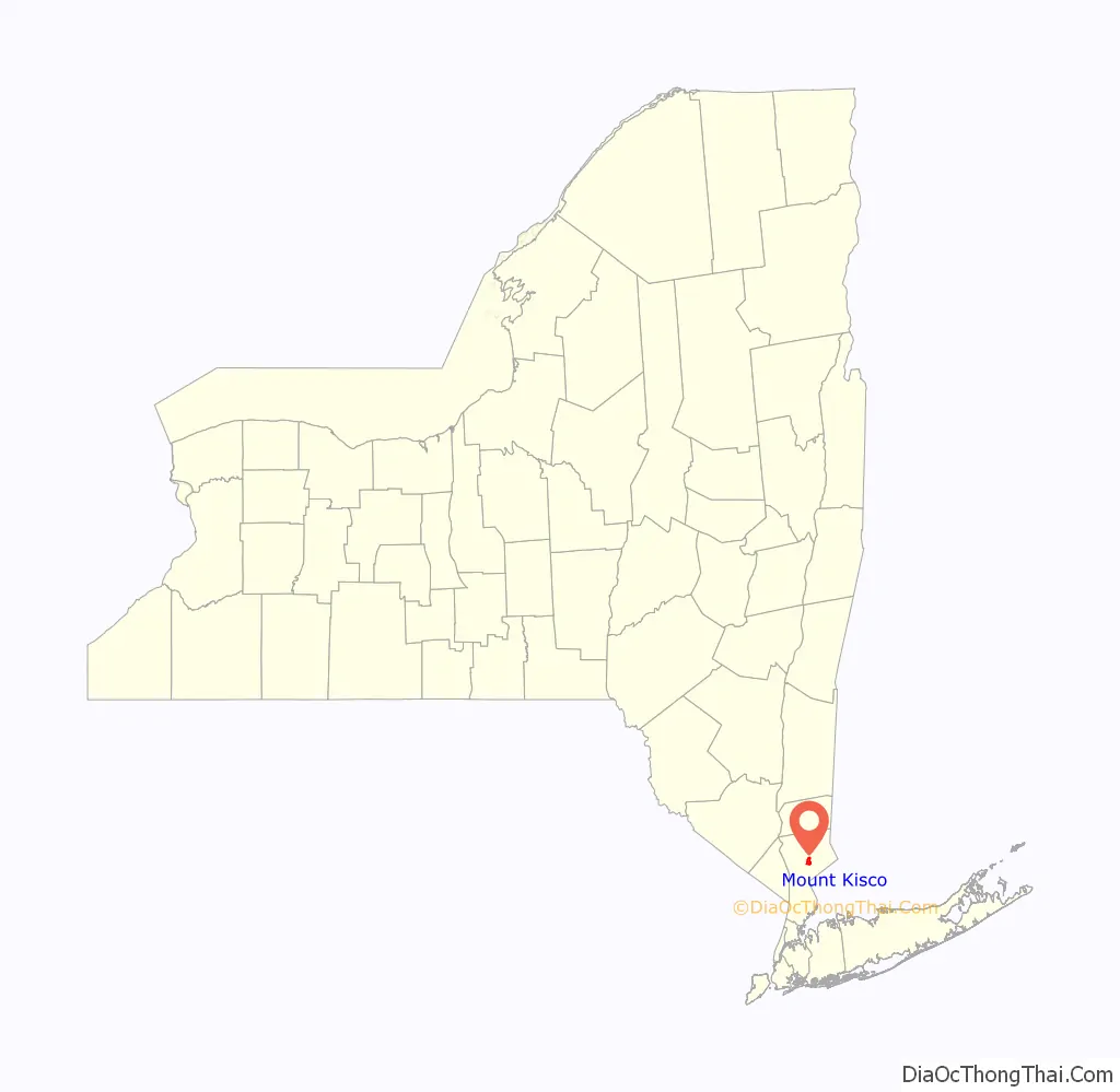
Mount Kisco location map. Where is Mount Kisco village?
History
The name Kisco may be connected to the Munsee word asiiskuw (“mud”), and the name of the settlement “first appeared in colonial records as Cisqua, the name of a meadow and river mentioned in the September 6, 1700 Indian deed to land in the area.” The spelling Mount Kisko was used by the local postmaster when a post office was opened in the village sometime after 1850. The current spelling of the name was adopted in 1875, with the settlement’s incorporation as a village. The town shares its name with the Kisco River, which traverses the town and goes into the Croton Reservoir.
As a village, Mount Kisco originally was half in the town of Bedford and half in the town of New Castle. Mount Kisco became a town in its own right in 1978.
The Mount Kisco Municipal Complex was added to the National Register of Historic Places in 1997. Merestead, St. Mark’s Episcopal Church, St. Mark’s Cemetery, and the United Methodist Church and Parsonage are also listed.
Mount Kisco Road Map

Mount Kisco city Satellite Map

Geography
According to the United States Census Bureau, the village has a total area of 3.1 square miles (8.1 km), all land.
Mount Kisco lies within the humid continental climate zone, experiencing four distinct seasons. Winter is cold, summer is warm and humid, and spring and fall are chilly to mild.
See also
Map of New York State and its subdivision:- Albany
- Allegany
- Bronx
- Broome
- Cattaraugus
- Cayuga
- Chautauqua
- Chemung
- Chenango
- Clinton
- Columbia
- Cortland
- Delaware
- Dutchess
- Erie
- Essex
- Franklin
- Fulton
- Genesee
- Greene
- Hamilton
- Herkimer
- Jefferson
- Kings
- Lake Ontario
- Lewis
- Livingston
- Madison
- Monroe
- Montgomery
- Nassau
- New York
- Niagara
- Oneida
- Onondaga
- Ontario
- Orange
- Orleans
- Oswego
- Otsego
- Putnam
- Queens
- Rensselaer
- Richmond
- Rockland
- Saint Lawrence
- Saratoga
- Schenectady
- Schoharie
- Schuyler
- Seneca
- Steuben
- Suffolk
- Sullivan
- Tioga
- Tompkins
- Ulster
- Warren
- Washington
- Wayne
- Westchester
- Wyoming
- Yates
- Alabama
- Alaska
- Arizona
- Arkansas
- California
- Colorado
- Connecticut
- Delaware
- District of Columbia
- Florida
- Georgia
- Hawaii
- Idaho
- Illinois
- Indiana
- Iowa
- Kansas
- Kentucky
- Louisiana
- Maine
- Maryland
- Massachusetts
- Michigan
- Minnesota
- Mississippi
- Missouri
- Montana
- Nebraska
- Nevada
- New Hampshire
- New Jersey
- New Mexico
- New York
- North Carolina
- North Dakota
- Ohio
- Oklahoma
- Oregon
- Pennsylvania
- Rhode Island
- South Carolina
- South Dakota
- Tennessee
- Texas
- Utah
- Vermont
- Virginia
- Washington
- West Virginia
- Wisconsin
- Wyoming


