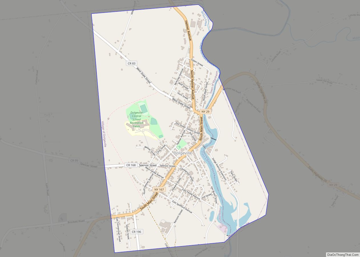
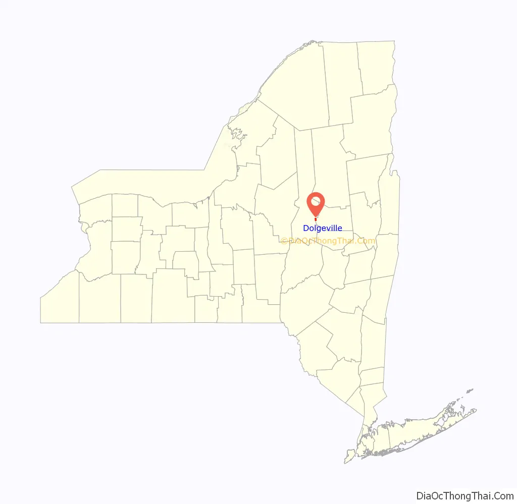
Dolgeville is a village in Herkimer and Fulton counties, New York, United States. The population was 2,206 at the 2010 census. The village is named after the industrialist Alfred Dolge.
The village is mostly in the eastern part of the town of Manheim (Herkimer County), but is partly in the western edge of the town of Oppenheim (Fulton County). Dolgeville is east of Utica.
| Name: | Dolgeville village |
|---|---|
| LSAD Code: | 47 |
| LSAD Description: | village (suffix) |
| State: | New York |
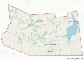
| County: | Fulton County, Herkimer County |
| Elevation: | 791 ft (241 m) |
| Total Area: | 1.83 sq mi (4.75 km²) |
| Land Area: | 1.79 sq mi (4.64 km²) |
| Water Area: | 0.04 sq mi (0.11 km²) |
| Total Population: | 2,042 |
| Population Density: | 1,140.15/sq mi (440.33/km²) |
| ZIP code: | 13329 |
| Area code: | 315 |
| FIPS code: | 3620731 |
| GNISfeature ID: | 948550 |
| Website: | www.villageofdolgeville.org |
Online Interactive Map
Click on ![]() to view map in "full screen" mode.
to view map in "full screen" mode.
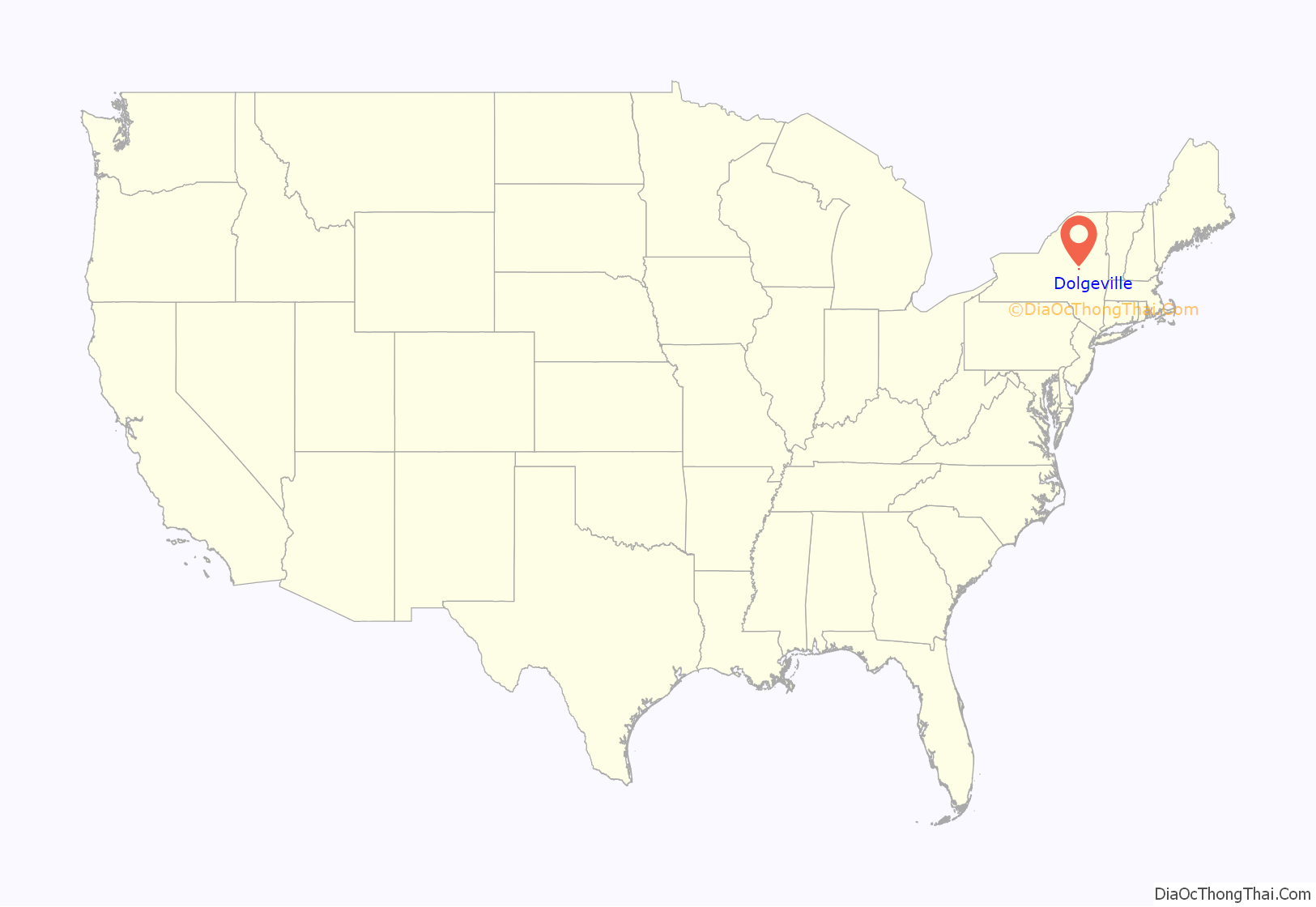
Dolgeville location map. Where is Dolgeville village?
History
The village was founded in 1794 by Samuel Low with the construction of two mills. A grist mill and later a saw mill were built by Captain John Favill on Ransom Creek about 1795. Soon a little settlement sprang up as other settlers moved in; with a blacksmith shop, tannery and school house. Families by the names of Ayers, Spencer, Ransom, Spofford, Lamberson, Brockett and Rundell soon followed and settled the adjoining lands which they cleared for farms.
The area was at first called “Green’s Bridge” in 1805, as a settler named Green built a bridge over East Canada Creek. In 1826 the area received its first post office, with Zephi Brockett as postmaster, and the area was renamed “Brockett’s Bridge” in his honor. In 1881 the citizens unanimously petitioned the authorities at Washington to change the name of the place from “Brockett’s Bridge” to “Dolgeville”. The village of Dolgeville was incorporated in 1891.
The village changed its name to Dolgeville because of the economic growth promoted by Alfred Dolge (1848–1922), a pioneering and benevolent industrialist. In addition to factories, Dolge built a railroad, laid out the village, built two schools, installed an electric system, a water system, sewage, a fire department, a free library, a concert hall, a gymnasium, public parks, a newspaper, and pioneered in a pension and profit sharing system for employees. Thomas Edison’s first water-powered dynamo was installed in Dolge’s factory. Dolge’s factory largely produced parts and materials for pianos. The Daniel Green shoe company partnered with Dolge after finding that the factory’s piano felt was also well-suited for slippers. Dolge’s factory and social endeavors failed financially in 1899, and the Dolge Company Factory Complex became property of the Daniel Green company. Daniel Green was the largest employer in the village until 1999, when it shuttered its operations there.
Lyndon Lyon, who lived in Dolgeville until his death in 1999, developed about 800 hybrid varieties of African violet and helped popularize its use as a houseplant. Lyon’s greenhouse in Dolgeville still operates and is known for violets and orchids, and Dolgeville’s annual Violet Festival commemorates him.
In 1965, a caver named James G. Mitchell became trapped under a waterfall while exploring a cave near Dolgeville. Despite a team of cave rescuers arriving on Air Force 2, Mitchell died. Mitchell’s entrapment and death became a national news story and raised awareness among cavers of the risk of hypothermia. Part of the cave collapsed during the initial attempt to retrieve Mitchell’s body, and the attempt was abandoned. At the time, the cave mouth was dynamited shut to prevent future mishaps. Mitchell’s corpse was finally retrieved in 2006 and returned to his family.
In late 2014, Alfred Dolge’s 1895 mansion, which stood behind the historic factory complex, was destroyed by fire. The cause of the fire has yet to be determined.
The Breckwoldt-Ward House, Menge House Complex, Alfred Dolge Hose Co. No. 1 Building, Dolge Company Factory Complex, and United States Post Office are listed on the National Register of Historic Places. The Beaversprite nature preserve is partially in the Fulton County portion of Dolgeville.
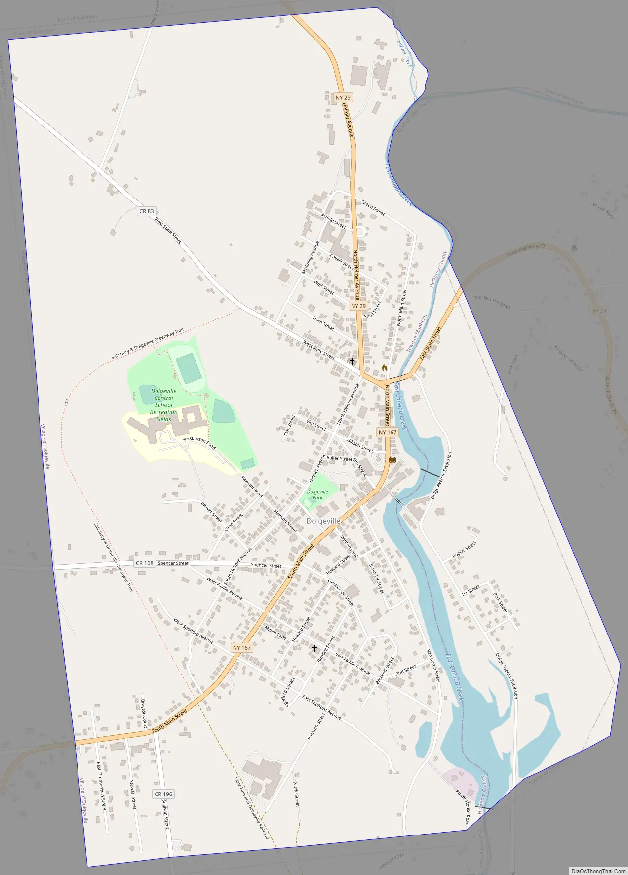
Dolgeville Road Map
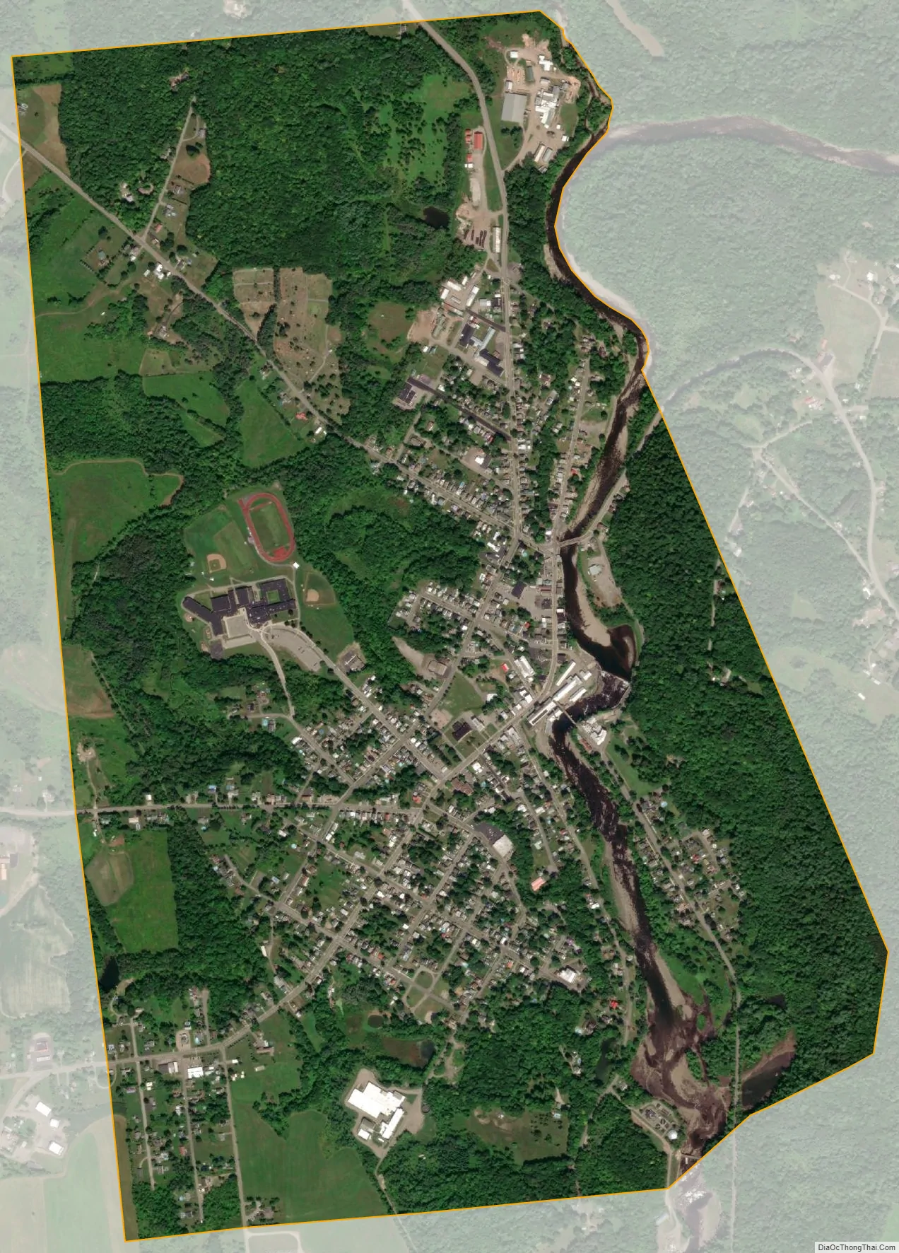
Dolgeville city Satellite Map
Geography
Dolgeville is located in east-central Herkimer County and western Fulton County at 43°06′08″N 74°46′20″W / 43.102233°N 74.772294°W / 43.102233; -74.772294 (43.102233, -74.772294). According to the United States Census Bureau, the village has a total area of 1.83 square miles (4.75 km), of which 1.79 square miles (4.64 km) is land and 0.04 square miles (0.11 km), or 2.38%, is water.
The main part of the village is in the northeastern corner of the town of Manheim, on the west side of East Canada Creek, a southward-flowing tributary of the Mohawk River. The section of the village on the east side of the creek is in the town of Oppenheim. The northern end of the village near the East Canada suffers from periodic flooding, with major floods in 2006, 2019, and 2022.
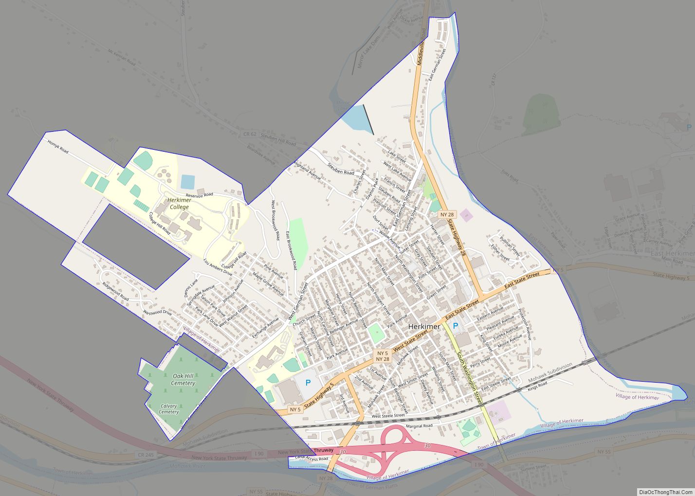
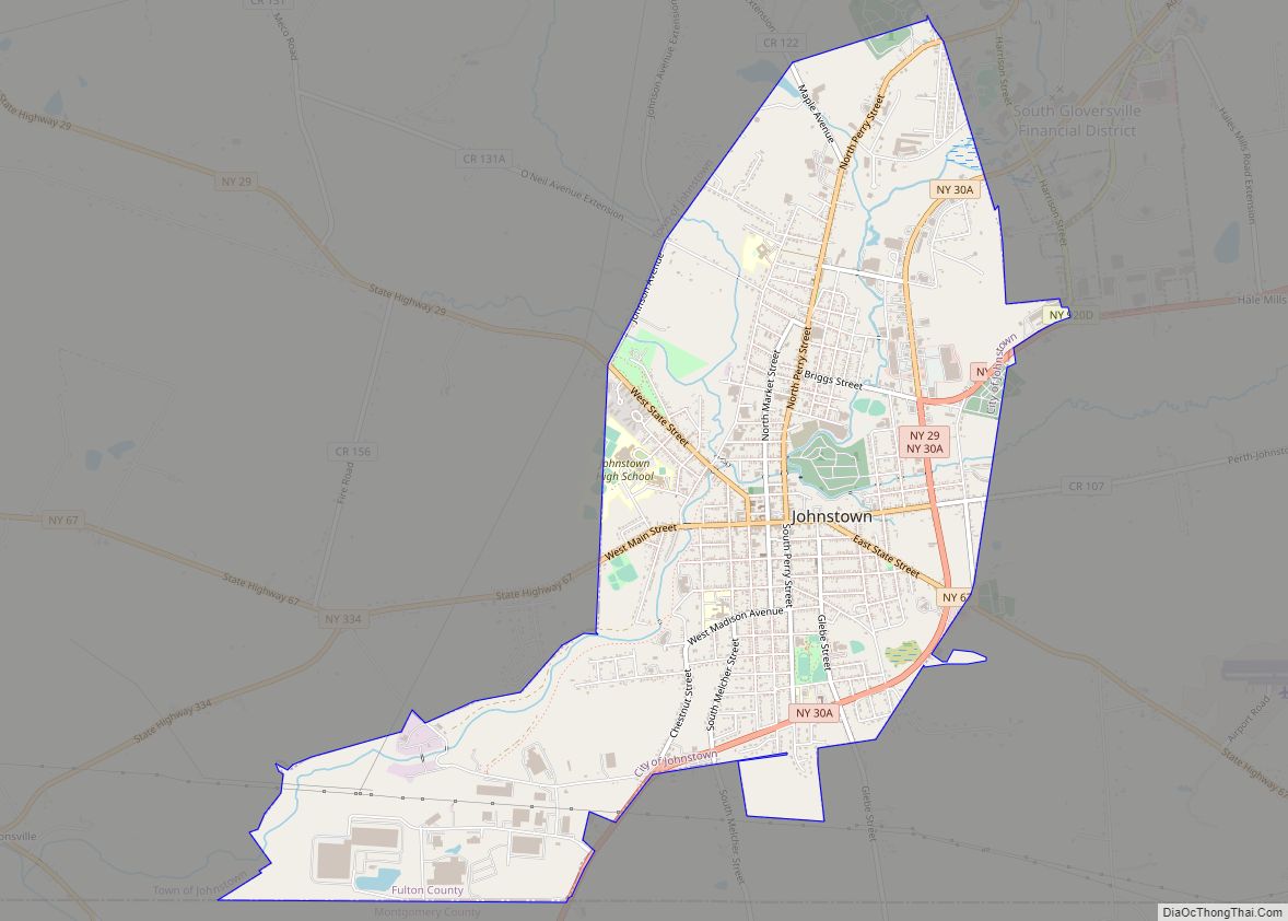
New York State Route 29 (North Helmer Avenue/State Street) and New York State Route 167 (Main Street) intersect in Dolgeville, with NY 167 having its northern terminus at the intersection. Route 29 leads east 24 miles (39 km) to Johnstown, the Fulton County seat, and west 12 miles (19 km) to Middleville, while Route 167 leads southwest 8 miles (13 km) to Little Falls on the Mohawk River.
See also
Map of New York State and its subdivision:- Albany
- Allegany
- Bronx
- Broome
- Cattaraugus
- Cayuga
- Chautauqua
- Chemung
- Chenango
- Clinton
- Columbia
- Cortland
- Delaware
- Dutchess
- Erie
- Essex
- Franklin
- Fulton
- Genesee
- Greene
- Hamilton
- Herkimer
- Jefferson
- Kings
- Lake Ontario
- Lewis
- Livingston
- Madison
- Monroe
- Montgomery
- Nassau
- New York
- Niagara
- Oneida
- Onondaga
- Ontario
- Orange
- Orleans
- Oswego
- Otsego
- Putnam
- Queens
- Rensselaer
- Richmond
- Rockland
- Saint Lawrence
- Saratoga
- Schenectady
- Schoharie
- Schuyler
- Seneca
- Steuben
- Suffolk
- Sullivan
- Tioga
- Tompkins
- Ulster
- Warren
- Washington
- Wayne
- Westchester
- Wyoming
- Yates
- Alabama
- Alaska
- Arizona
- Arkansas
- California
- Colorado
- Connecticut
- Delaware
- District of Columbia
- Florida
- Georgia
- Hawaii
- Idaho
- Illinois
- Indiana
- Iowa
- Kansas
- Kentucky
- Louisiana
- Maine
- Maryland
- Massachusetts
- Michigan
- Minnesota
- Mississippi
- Missouri
- Montana
- Nebraska
- Nevada
- New Hampshire
- New Jersey
- New Mexico
- New York
- North Carolina
- North Dakota
- Ohio
- Oklahoma
- Oregon
- Pennsylvania
- Rhode Island
- South Carolina
- South Dakota
- Tennessee
- Texas
- Utah
- Vermont
- Virginia
- Washington
- West Virginia
- Wisconsin
- Wyoming