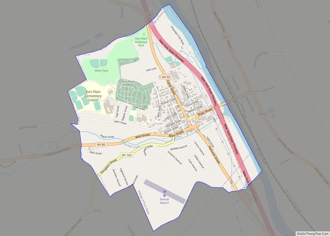
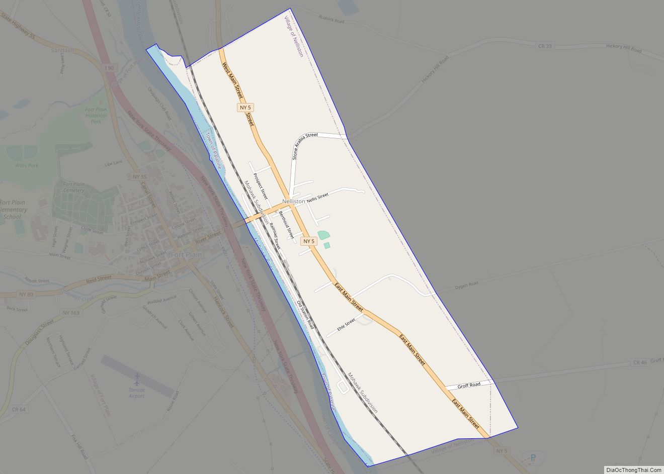
Fort Plain is a village in Montgomery County, New York, United States. As of the 2010 census, the village population was 2,322. The village is named after a fort built during the American Revolution at the junction of the Mohawk River and its tributary Otsquago Creek.
The village of Fort Plain is at the border of the Towns of Minden and Canajoharie and is west of Amsterdam.
Because of its small size and the close connections with neighboring communities, some former residents who now live in more populous regions use Fort Plain to refer collectively to the village of Fort Plain and the surrounding villages of Nelliston, and Palatine Bridge.
| Name: | Fort Plain village |
|---|---|
| LSAD Code: | 47 |
| LSAD Description: | village (suffix) |
| State: | New York |
| County: | Montgomery County |
| Elevation: | 305 ft (93 m) |
| Total Area: | 1.40 sq mi (3.63 km²) |
| Land Area: | 1.34 sq mi (3.48 km²) |
| Water Area: | 0.06 sq mi (0.15 km²) |
| Total Population: | 1,930 |
| Population Density: | 1,434.94/sq mi (554.22/km²) |
| ZIP code: | 13339 |
| Area code: | 518 |
| FIPS code: | 3626924 |
| GNISfeature ID: | 0950490 |
Online Interactive Map
Click on ![]() to view map in "full screen" mode.
to view map in "full screen" mode.
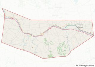
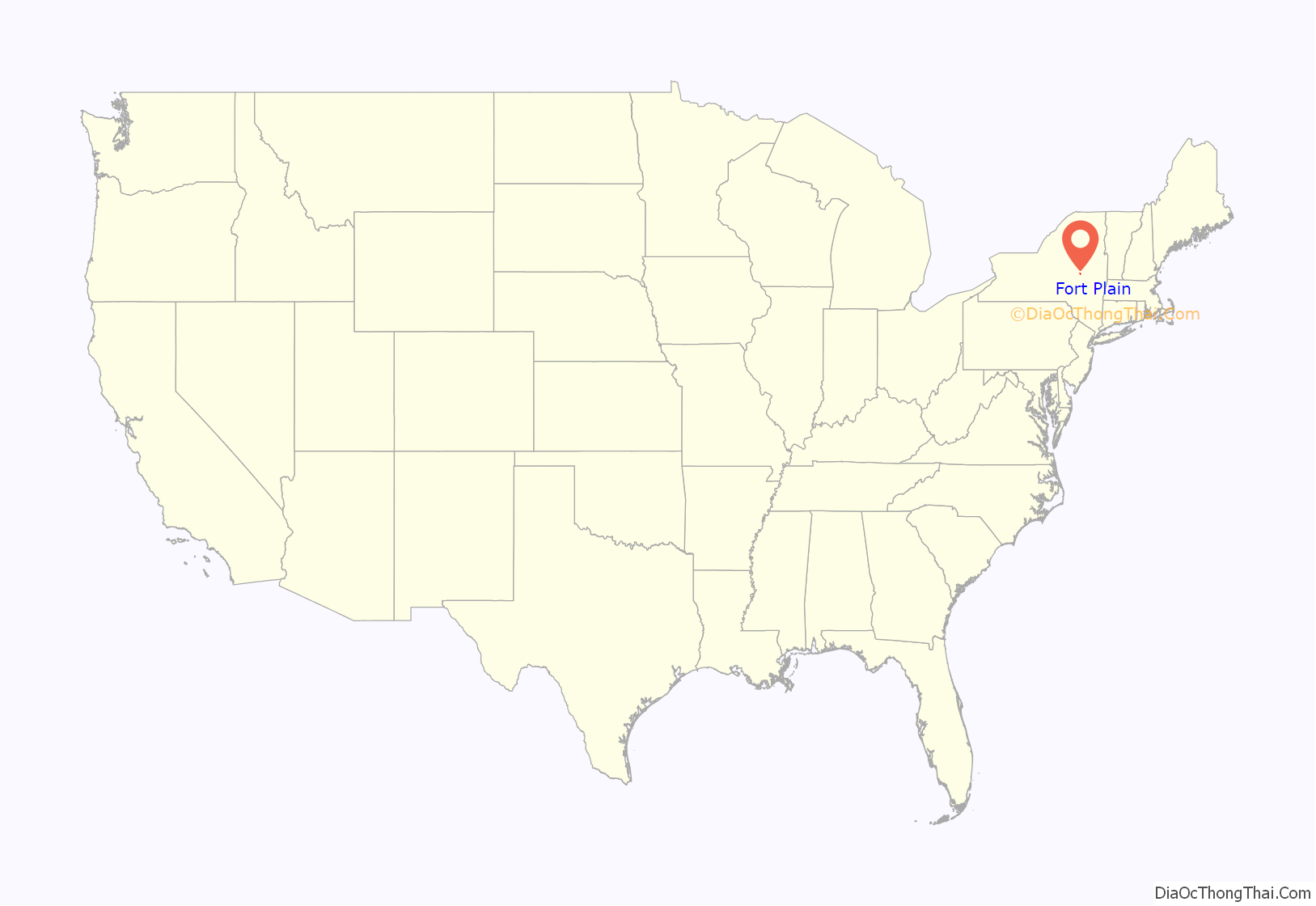
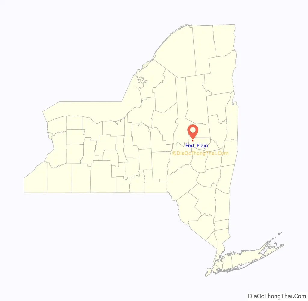
Fort Plain location map. Where is Fort Plain village?
History
The village is in a region where the Mohawk had four major villages along the Mohawk River in the 17th century. They historically had occupied territory west of the Hudson River and extending up to the St. Lawrence River and south to the Delaware Water Gap, but their main villages were located close to the Mohawk River. Tionondogue, also called Tionnontogen, was located approximately 2 miles (3.2 km) north-west of Fort Plain. It was said to be the largest, and is sometimes listed as the principal town of the Mohawks. Due to losses from a smallpox epidemic in 1634, the Mohawk reduced their villages to three. By the early 18th century they had two major villages.
In 1739, the governor of New York built a stone house here for the use of his sons. Other early settlers included Palatine Germans, whom the Mohawk had permitted to settle in exchange for gaining help with their defenses in 1712 from Queen Anne of England. Anne’s government had supported immigration of the Protestant Germans as religious refugees and paid for their passage, for which they exchanged work in New York in camps along the Hudson River. As the Mohawk requested, Queen Anne ordered the construction of Fort Hunter in 1711 near Tionondoraga; that village was also known by Europeans as the “Lower Castle.
The village of Fort Plain developed at the foot of the hill where the fort once stood. The Revolutionary War fort was constructed in 1776; a blockhouse was garrisoned here throughout the war. While many of the village’s men were fighting elsewhere, the women, dressed as men, manned the fort and fought off Indian attacks. The village developed around Otsquago Creek, which has its confluence with the Mohawk River.
Fort Plain became an incorporated village in 1832. The opening of the Erie Canal was an economic boom, stimulating the village to become a center of manufacturing during the nineteenth century. It produced textiles from cotton from the Deep South and furniture. Textile mills in upstate New York depended on processing southern cotton; these products made up a major part of exports from New York City in the antebellum years.
Fort Plain was the site of the 19th-century Fort Plain Seminary, which ran into hard times and whose building was acquired and used by the Clinton Liberal Institute, before being destroyed by fire in 1900.
Fort Plain is the birthplace of Bud Fowler, the first black professional baseball player. Fowler appeared in an exhibition game with a team from Lynn, Iowa in 1878, 68 years before Jackie Robinson played in a professional baseball game in the major leagues.
Numerous Amish have migrated to New York from Pennsylvania since the late 20th century, seeking affordable farm land. Many have settled in Fort Plain. Montgomery County has one of the largest populations of Amish in the country.
The Fort Plain Conservation Area, Fort Plain Historic District, and United States Post Office are listed on the National Register of Historic Places.
On June 28, 2013 there was extensive flooding on Otsquago Creek, tearing up its streambed and damaging houses up the creek to Stark. More than 100 houses were damaged or destroyed in Fort Plain, where 4 inches of rain fell. Bridges over the creek were destroyed. Ten miles upstream, Start received 7 inches of rain, which entered the creek and washed its bed away. The state quickly started the extensive work needed to repair the stream bed, nearby roadways and other infrastructure. Tons of rocks were laid down to stabilize the banks.
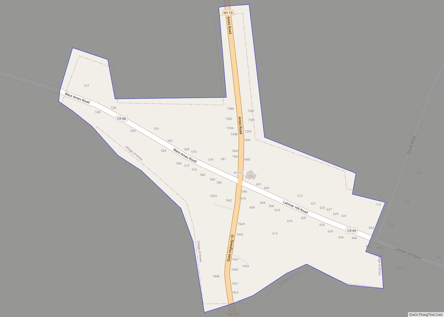
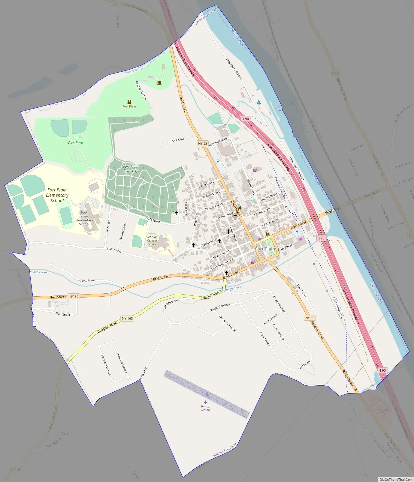
Fort Plain Road Map
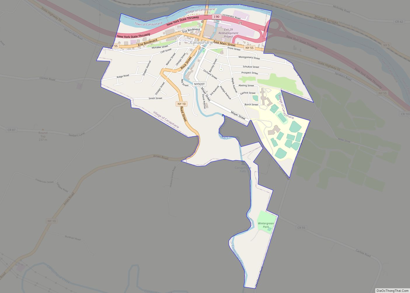
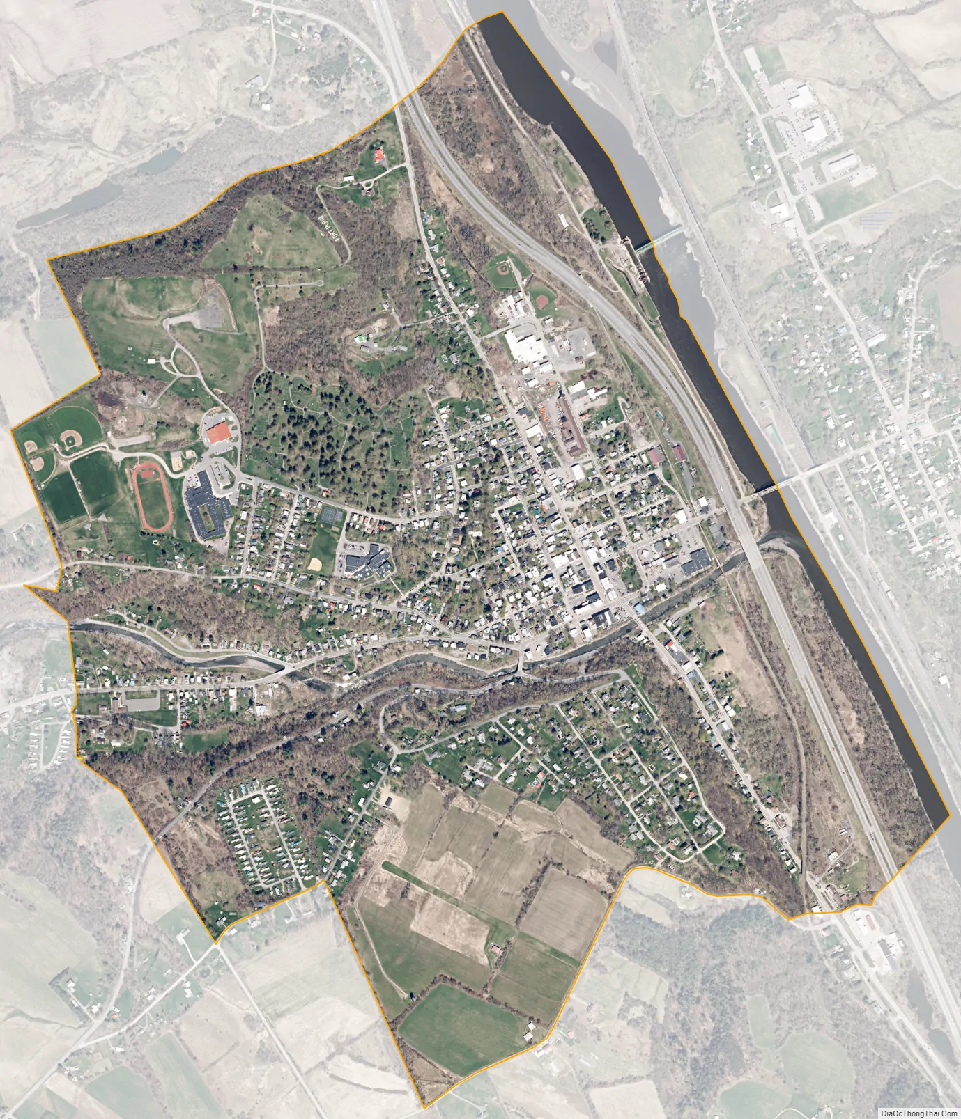
Fort Plain city Satellite Map
Geography
Fort Plain is located at 42°55′51″N 74°37′29″W / 42.930846°N 74.624799°W / 42.930846; -74.624799.
According to the United States Census Bureau, the village has a total area of 1.4 square miles (3.6 km), of which 1.4 square miles (3.6 km) is land and 0.1 square miles (0.26 km) (3.55%) is water.
The village is located on the south bank of the Mohawk River, where the Otsquago Creek enters the Mohawk. The Erie Canal, using the Mohawk River, is adjacent to the village. The Village of Nelliston is on the opposite shore of the river.
New York State Thruway (Interstate 90) passes through the community. The intersection of NY Route 80 (Reid Street), NY Route 5S (Canal Street), and NY Route 163 is located in Fort Plain. NY 163 has its western terminus at NY 80 in the village.
See also
Map of New York State and its subdivision:- Albany
- Allegany
- Bronx
- Broome
- Cattaraugus
- Cayuga
- Chautauqua
- Chemung
- Chenango
- Clinton
- Columbia
- Cortland
- Delaware
- Dutchess
- Erie
- Essex
- Franklin
- Fulton
- Genesee
- Greene
- Hamilton
- Herkimer
- Jefferson
- Kings
- Lake Ontario
- Lewis
- Livingston
- Madison
- Monroe
- Montgomery
- Nassau
- New York
- Niagara
- Oneida
- Onondaga
- Ontario
- Orange
- Orleans
- Oswego
- Otsego
- Putnam
- Queens
- Rensselaer
- Richmond
- Rockland
- Saint Lawrence
- Saratoga
- Schenectady
- Schoharie
- Schuyler
- Seneca
- Steuben
- Suffolk
- Sullivan
- Tioga
- Tompkins
- Ulster
- Warren
- Washington
- Wayne
- Westchester
- Wyoming
- Yates
- Alabama
- Alaska
- Arizona
- Arkansas
- California
- Colorado
- Connecticut
- Delaware
- District of Columbia
- Florida
- Georgia
- Hawaii
- Idaho
- Illinois
- Indiana
- Iowa
- Kansas
- Kentucky
- Louisiana
- Maine
- Maryland
- Massachusetts
- Michigan
- Minnesota
- Mississippi
- Missouri
- Montana
- Nebraska
- Nevada
- New Hampshire
- New Jersey
- New Mexico
- New York
- North Carolina
- North Dakota
- Ohio
- Oklahoma
- Oregon
- Pennsylvania
- Rhode Island
- South Carolina
- South Dakota
- Tennessee
- Texas
- Utah
- Vermont
- Virginia
- Washington
- West Virginia
- Wisconsin
- Wyoming