Fort Johnson (formerly known as Akin) is a village in Montgomery County, New York, United States located on the north side of the Mohawk River in the town of Amsterdam. The population was 490 at the 2010 census.
| Name: | Fort Johnson village |
|---|---|
| LSAD Code: | 47 |
| LSAD Description: | village (suffix) |
| State: | New York |
| County: | Montgomery County |
| Elevation: | 308 ft (94 m) |
| Total Area: | 0.85 sq mi (2.19 km²) |
| Land Area: | 0.74 sq mi (1.92 km²) |
| Water Area: | 0.11 sq mi (0.28 km²) |
| Total Population: | 401 |
| Population Density: | 542.63/sq mi (209.38/km²) |
| ZIP code: | 12070 |
| Area code: | 518 |
| FIPS code: | 3626880 |
| GNISfeature ID: | 0950482 |
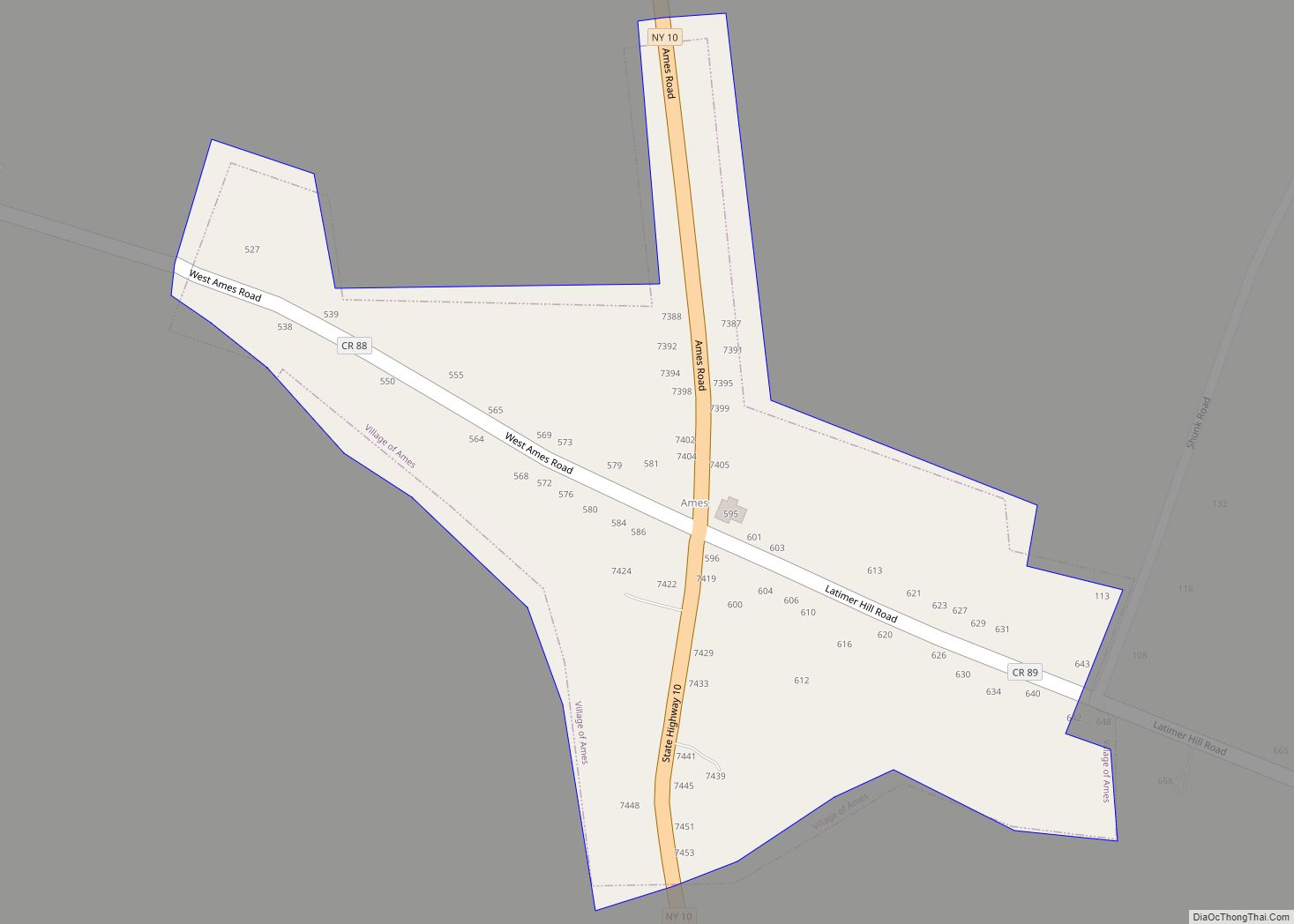
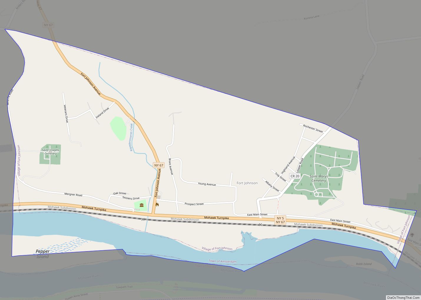
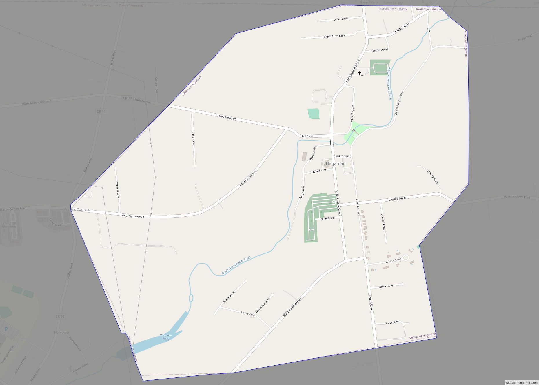
Online Interactive Map
Click on ![]() to view map in "full screen" mode.
to view map in "full screen" mode.
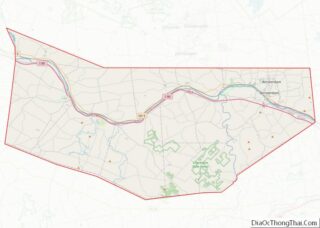
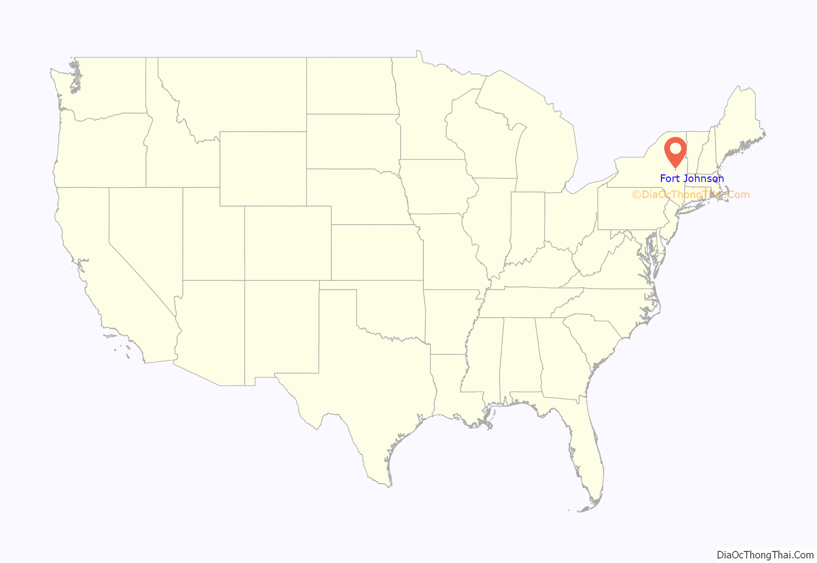
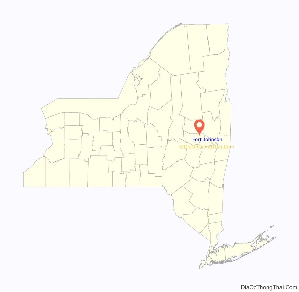
Fort Johnson location map. Where is Fort Johnson village?
History
Around 1710, early Palatine Germans began trying to settle here. Most were working in an English camp along the Hudson to pay back their passage by ship from London. In 1716, the Mohawk sold a portion of the land to Philip Groat (it is now in the eastern part of the Town of Amsterdam). This part of New York was Mohawk territory for centuries before European colonization. In 1739, William Johnson, an influential Anglo-Irish colonist who had previously lived closer to Amsterdam, purchased land including the site of the village. He established a mill in 1744. The original name of the settlement was “Mount Johnson.”
The community was the original seat of power of William Johnson before he moved on to found the City of Johnstown further west. He rose to become the British Superintendent of Indian Affairs in the northern colonies and was highly influential because of his strong relationships with the Iroquois, especially the Mohawk. His former home here is preserved as Old Fort Johnson. Johnson had Molly Brant, a Mohawk woman, as his longtime consort.
Old Fort Johnson was listed on the National Register of Historic Places in 1972.
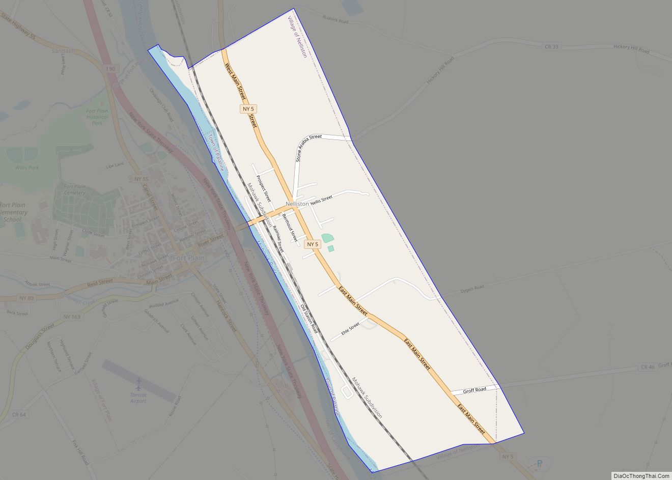
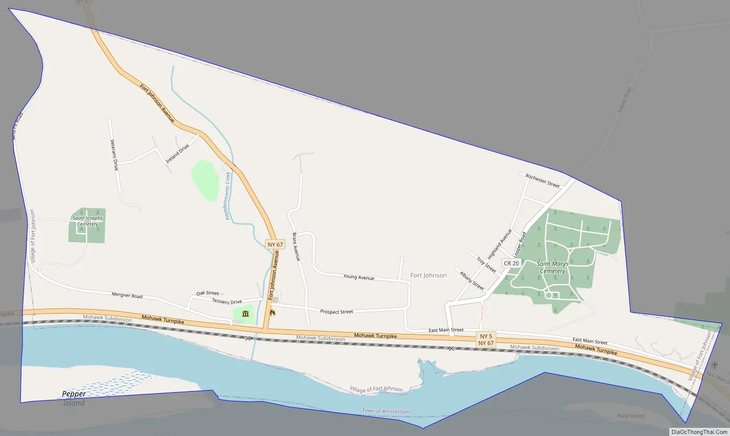
Fort Johnson Road Map
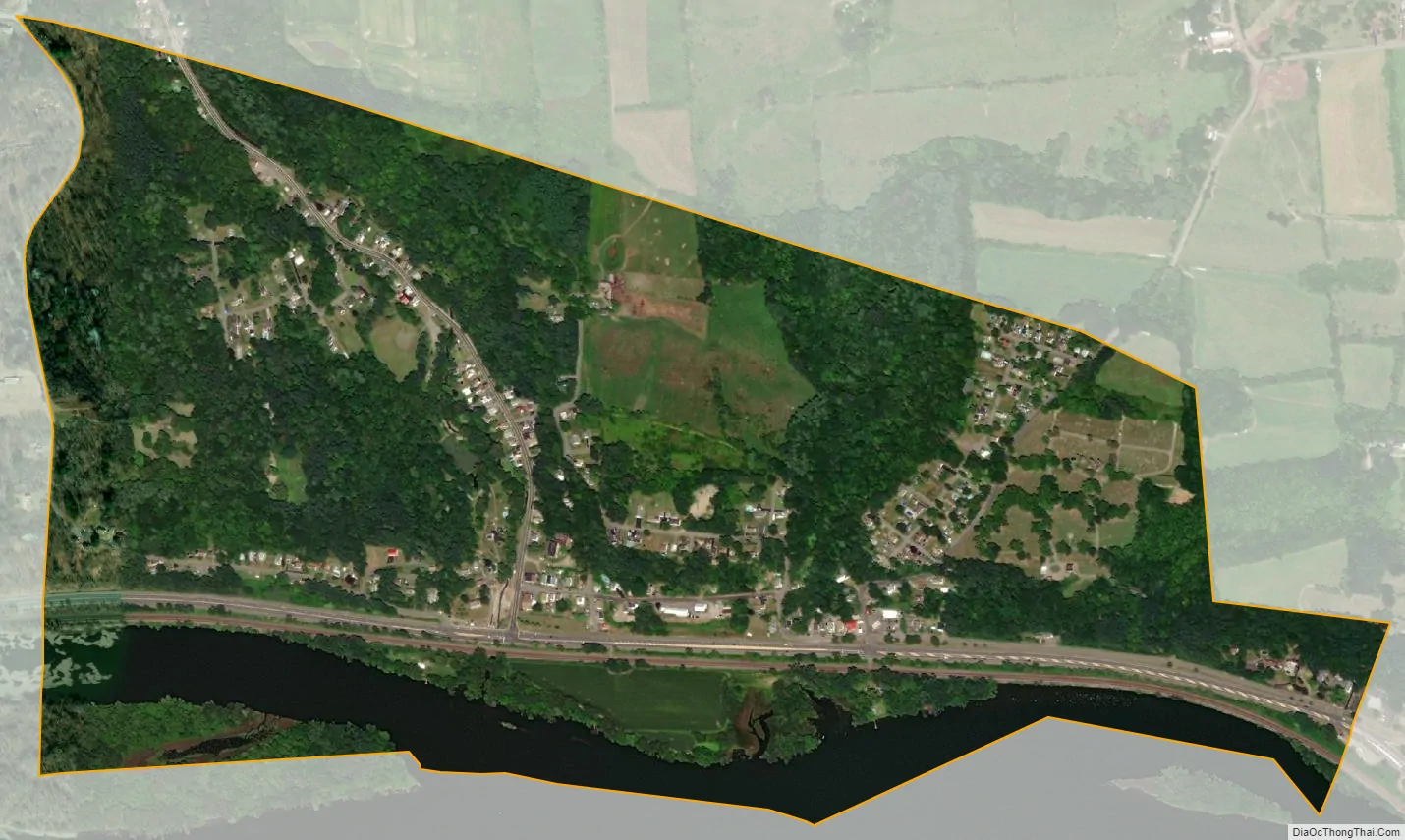
Fort Johnson city Satellite Map
Geography
Fort Johnson is located at 42°57′30″N 74°14′10″W / 42.95833°N 74.23611°W / 42.95833; -74.23611 (42.958303, -74.236018).
According to the United States Census Bureau, the village has a total area of 0.8 square miles (2.1 km), of which 0.7 square miles (1.8 km) is land and 0.1 square miles (0.26 km) (11.90%) is water.
The village is on the north bank of the Mohawk River at the influx of the Kayaderosseras Creek [of Montgomery County]. Pepper Island in the Mohawk River is south of the village.
New York State Route 5, an east-west highway, passes through the south part of the village, where it is joined by New York State Route 67, Fort Johnson Avenue.
See also
Map of New York State and its subdivision:- Albany
- Allegany
- Bronx
- Broome
- Cattaraugus
- Cayuga
- Chautauqua
- Chemung
- Chenango
- Clinton
- Columbia
- Cortland
- Delaware
- Dutchess
- Erie
- Essex
- Franklin
- Fulton
- Genesee
- Greene
- Hamilton
- Herkimer
- Jefferson
- Kings
- Lake Ontario
- Lewis
- Livingston
- Madison
- Monroe
- Montgomery
- Nassau
- New York
- Niagara
- Oneida
- Onondaga
- Ontario
- Orange
- Orleans
- Oswego
- Otsego
- Putnam
- Queens
- Rensselaer
- Richmond
- Rockland
- Saint Lawrence
- Saratoga
- Schenectady
- Schoharie
- Schuyler
- Seneca
- Steuben
- Suffolk
- Sullivan
- Tioga
- Tompkins
- Ulster
- Warren
- Washington
- Wayne
- Westchester
- Wyoming
- Yates
- Alabama
- Alaska
- Arizona
- Arkansas
- California
- Colorado
- Connecticut
- Delaware
- District of Columbia
- Florida
- Georgia
- Hawaii
- Idaho
- Illinois
- Indiana
- Iowa
- Kansas
- Kentucky
- Louisiana
- Maine
- Maryland
- Massachusetts
- Michigan
- Minnesota
- Mississippi
- Missouri
- Montana
- Nebraska
- Nevada
- New Hampshire
- New Jersey
- New Mexico
- New York
- North Carolina
- North Dakota
- Ohio
- Oklahoma
- Oregon
- Pennsylvania
- Rhode Island
- South Carolina
- South Dakota
- Tennessee
- Texas
- Utah
- Vermont
- Virginia
- Washington
- West Virginia
- Wisconsin
- Wyoming