Greenville, commonly known as Edgemont, is a census-designated place (CDP) in the town of Greenburgh in Westchester County, New York, United States. The population was 9,394 at the 2020 census. Most of its residents refer to the area as Edgemont, which is also the name of its school district.
It is an ethnically diverse inner suburb of New York City, lying 22 miles (35 km) north of Columbus Circle. It is a partial bedroom community, with some of its residents working in Midtown Manhattan. Other workplaces of Greenville residents are in the offices and factories of White Plains, Yonkers, The Bronx, Rockland County, New York or Stamford, Connecticut, as well as many businesses and hospitals in southern Westchester County. The hamlet was originally ethnic Jewish and Italian but is now ethnically diverse. Its main street is Central Park Avenue. It’s populated with strip malls, gas stations and outlet stores and caters mainly to shoppers from Yonkers and The Bronx.
The limits of the CDP are essentially defined by the areas served by the Edgemont Union Free School District and the Greenville Fire Department, whose areas slightly differ.
Greenville was originally a development designed by different architects for summer homes for Manhattanites. With its antique colonial homes and outstanding schools, it is an option for those seeking to move from New York City. Metro-North trains are accessible via the Scarsdale and Hartsdale train stations, and they run 25–55 minutes to Grand Central Terminal, depending on if one has an express or local train.
In March 2018, Bloomberg ranked Greenville as the 22nd wealthiest place in the United States, and the third wealthiest in New York.
| Name: | Greenville CDP |
|---|---|
| LSAD Code: | 57 |
| LSAD Description: | CDP (suffix) |
| State: | New York |
| County: | Westchester County |
| Elevation: | 240 ft (70 m) |
| Total Area: | 2.6 sq mi (6.7 km²) |
| Land Area: | 2.5 sq mi (6.6 km²) |
| Water Area: | 0.04 sq mi (0.1 km²) |
| Total Population: | 9,394 |
| Population Density: | 2,793/sq mi (1,078.2/km²) |
| ZIP code: | 10583#&10530 |
| Area code: | 914 |
| FIPS code: | 3630642 |
| GNISfeature ID: | 0951774 |
Online Interactive Map
Click on ![]() to view map in "full screen" mode.
to view map in "full screen" mode.
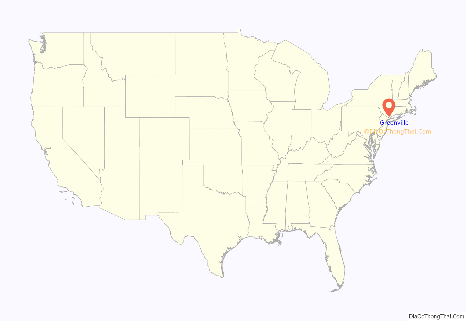
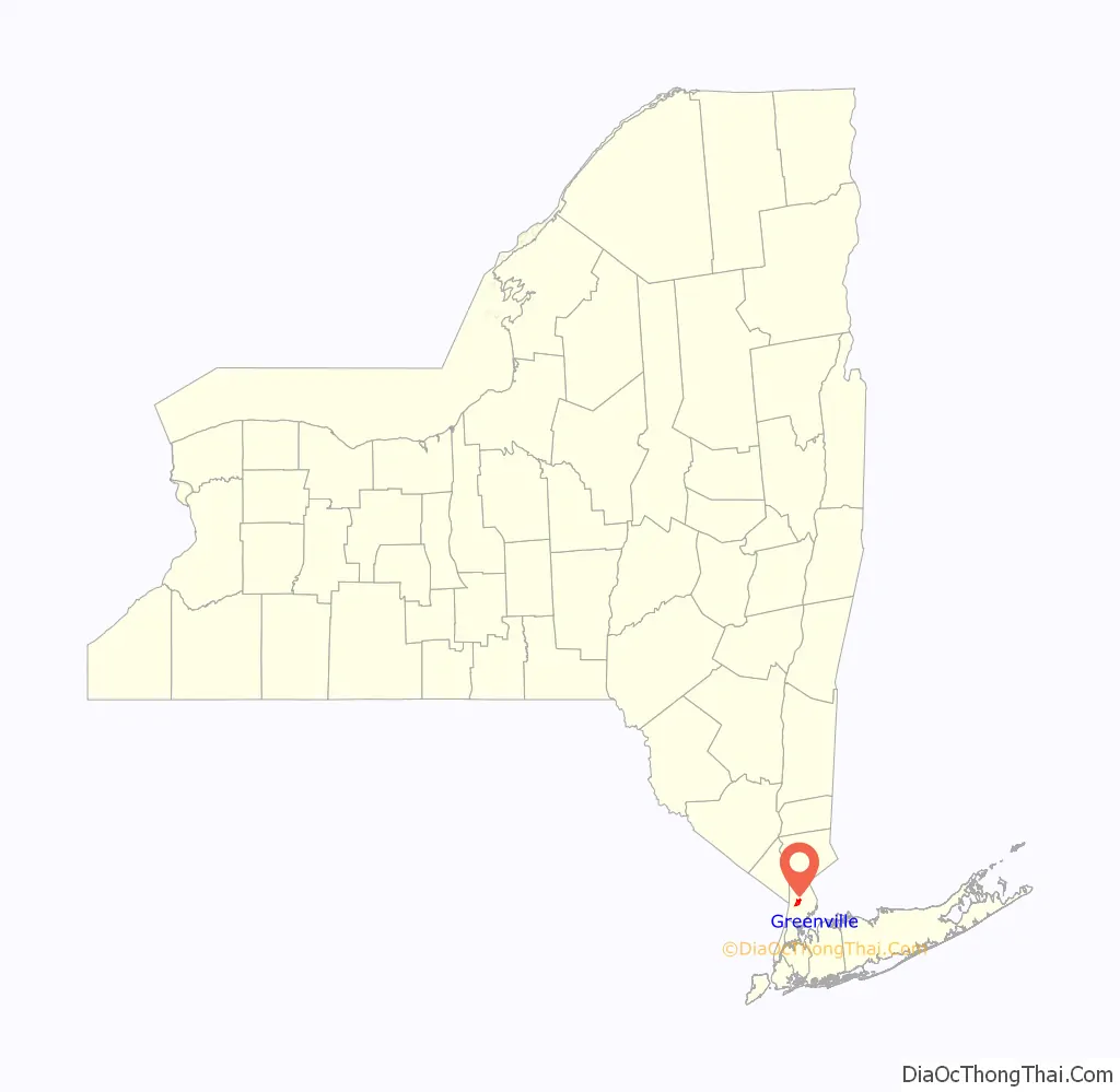
Greenville location map. Where is Greenville CDP?
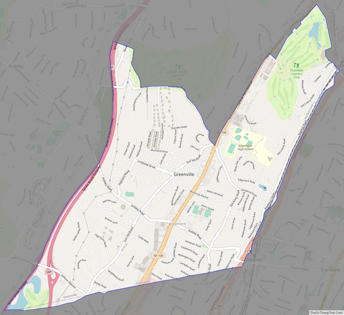
Greenville Road Map
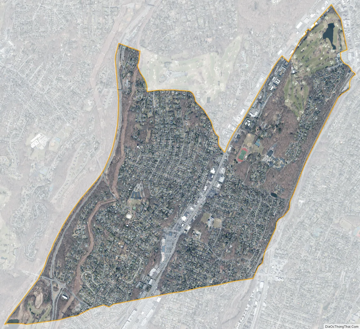
Greenville city Satellite Map
Geography
Greenville is located at 40°59′56″N 73°49′13″W / 40.99889°N 73.82028°W / 40.99889; -73.82028 (40.998977, -73.820147), in the southeastern corner of the town of Greenburgh.
According to the United States Census Bureau, the CDP has a total area of 2.6 square miles (6.7 km), of which 2.5 square miles (6.6 km) is land and 0.039 square miles (0.1 km), or 1.34% is water.
See also
Map of New York State and its subdivision:- Albany
- Allegany
- Bronx
- Broome
- Cattaraugus
- Cayuga
- Chautauqua
- Chemung
- Chenango
- Clinton
- Columbia
- Cortland
- Delaware
- Dutchess
- Erie
- Essex
- Franklin
- Fulton
- Genesee
- Greene
- Hamilton
- Herkimer
- Jefferson
- Kings
- Lake Ontario
- Lewis
- Livingston
- Madison
- Monroe
- Montgomery
- Nassau
- New York
- Niagara
- Oneida
- Onondaga
- Ontario
- Orange
- Orleans
- Oswego
- Otsego
- Putnam
- Queens
- Rensselaer
- Richmond
- Rockland
- Saint Lawrence
- Saratoga
- Schenectady
- Schoharie
- Schuyler
- Seneca
- Steuben
- Suffolk
- Sullivan
- Tioga
- Tompkins
- Ulster
- Warren
- Washington
- Wayne
- Westchester
- Wyoming
- Yates
- Alabama
- Alaska
- Arizona
- Arkansas
- California
- Colorado
- Connecticut
- Delaware
- District of Columbia
- Florida
- Georgia
- Hawaii
- Idaho
- Illinois
- Indiana
- Iowa
- Kansas
- Kentucky
- Louisiana
- Maine
- Maryland
- Massachusetts
- Michigan
- Minnesota
- Mississippi
- Missouri
- Montana
- Nebraska
- Nevada
- New Hampshire
- New Jersey
- New Mexico
- New York
- North Carolina
- North Dakota
- Ohio
- Oklahoma
- Oregon
- Pennsylvania
- Rhode Island
- South Carolina
- South Dakota
- Tennessee
- Texas
- Utah
- Vermont
- Virginia
- Washington
- West Virginia
- Wisconsin
- Wyoming


