Ossining /ˈɒsɪnɪŋ/ is a village in Westchester County, New York, United States. The population at the 2020 United States census was 27,551, an increase from 25,060 at the 2010 census. As a village, it is located in the town of Ossining.
| Name: | Ossining village |
|---|---|
| LSAD Code: | 47 |
| LSAD Description: | village (suffix) |
| State: | New York |
| County: | Westchester County |
| Incorporated: | 1813 |
| Elevation: | 161 ft (49 m) |
| Total Area: | 6.3 sq mi (16.4 km²) |
| Land Area: | 3.2 sq mi (8.3 km²) |
| Water Area: | 3.1 sq mi (8.1 km²) |
| Total Population: | 27,551 |
| ZIP code: | 10562 |
| Area code: | 914 |
| FIPS code: | 3655530 |
| GNISfeature ID: | 0959520 |
| Website: | villageofossining.org |
Online Interactive Map
Click on ![]() to view map in "full screen" mode.
to view map in "full screen" mode.
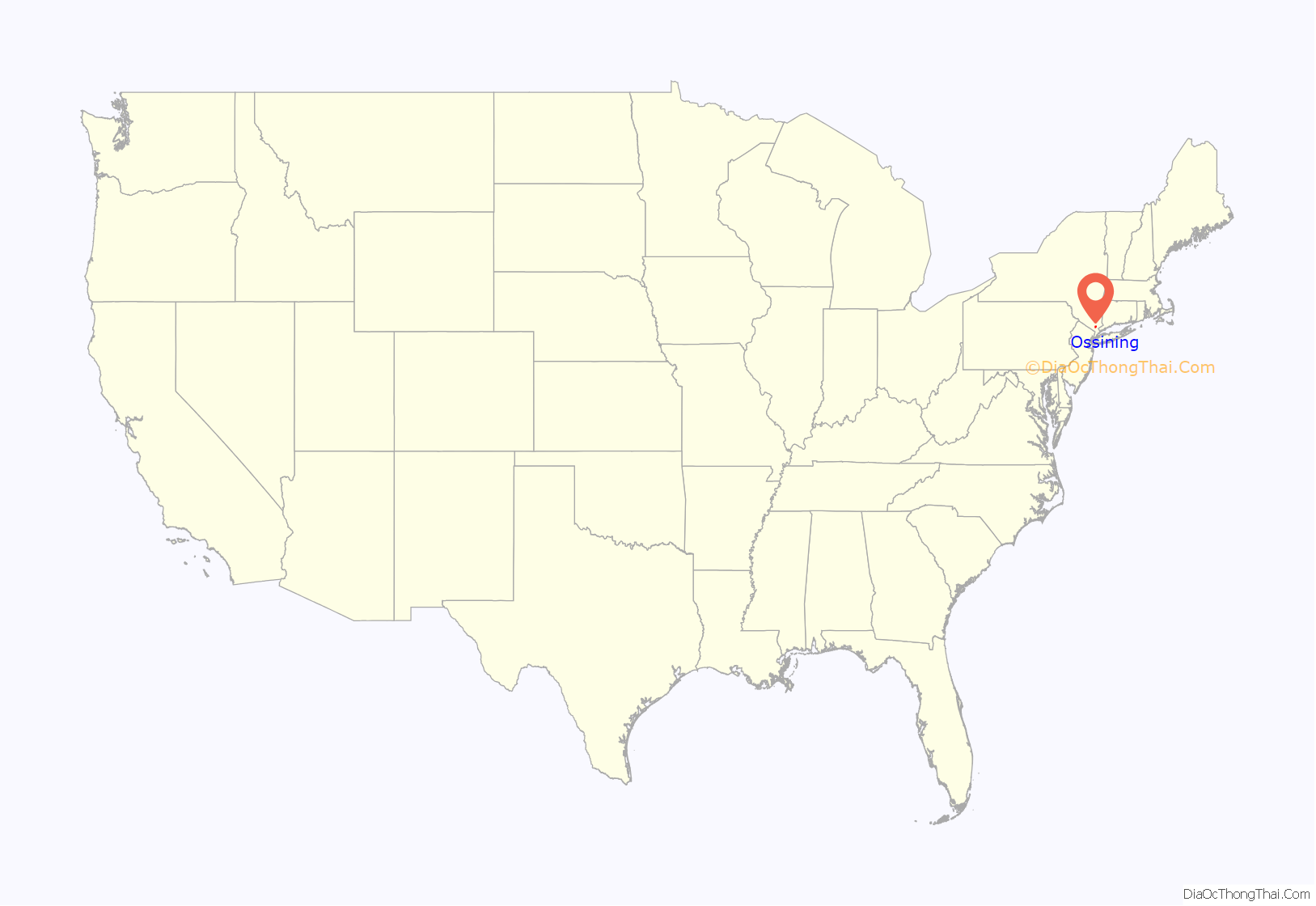
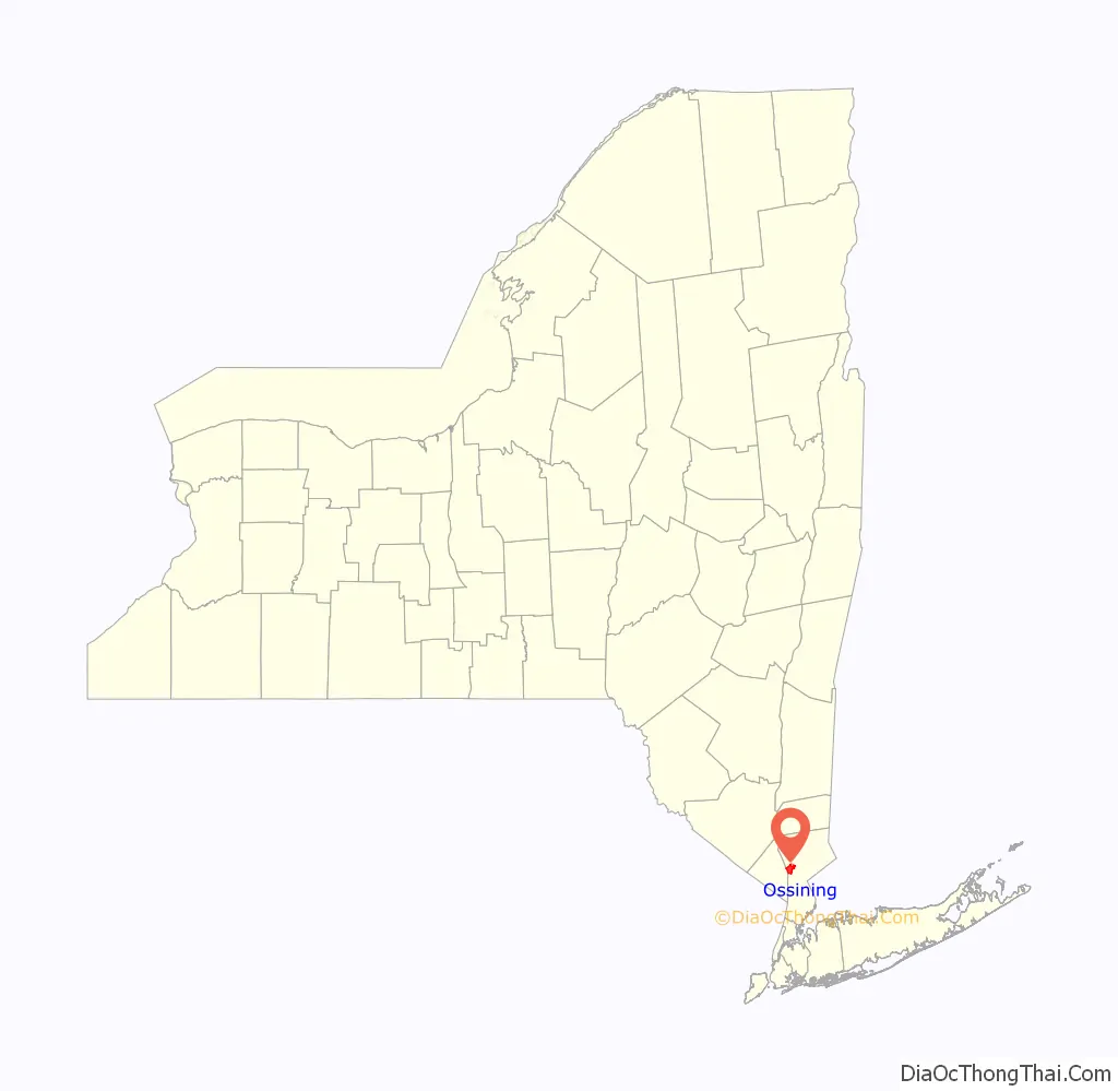
Ossining location map. Where is Ossining village?
History
Frederick Philipse bought the area that presently constitutes the Town of Ossining from the Sint Sinck Indians in 1685. The Sint Sinck are members of the Wappinger Confederacy, who inhabited the land east of Hudson River between what is now Tarrytown and Croton. His manor extended from Spuyten Duyvil Creek on the border between present-day Manhattan and the Bronx to the Croton River. The last Lord of the Manor, Frederick III, was a Loyalist in the American Revolutionary War who fled to England, so the State of New York confiscated the manor in 1779.
In 1838 Benjamin Brandreth built a manufacturing facility for his Vegetable Universal Pills, which became one of the most successful patent medicines in the United States. Brandreth’s firm was at one point the nation’s leading proprietary advertiser. He was president of the village for many years.
Due to Ossining’s history, some of its structures are on the National Register of Historic Places, and the downtown shopping area is listed as the Downtown Ossining Historic District. In addition, the Sparta neighborhood has been designated a local historic district. Ossining’s role in New York’s heritage has been recognized by its inclusion, as one of only 14 areas, in an Urban Cultural Park System designed to attract visitors to the state. Also on the National Register of Historic Places are the Richard Austin House, Brandreth Pill Factory, First Baptist Church of Ossining, Highland Cottage, St. Paul’s Episcopal Church and Rectory, and Washington School.
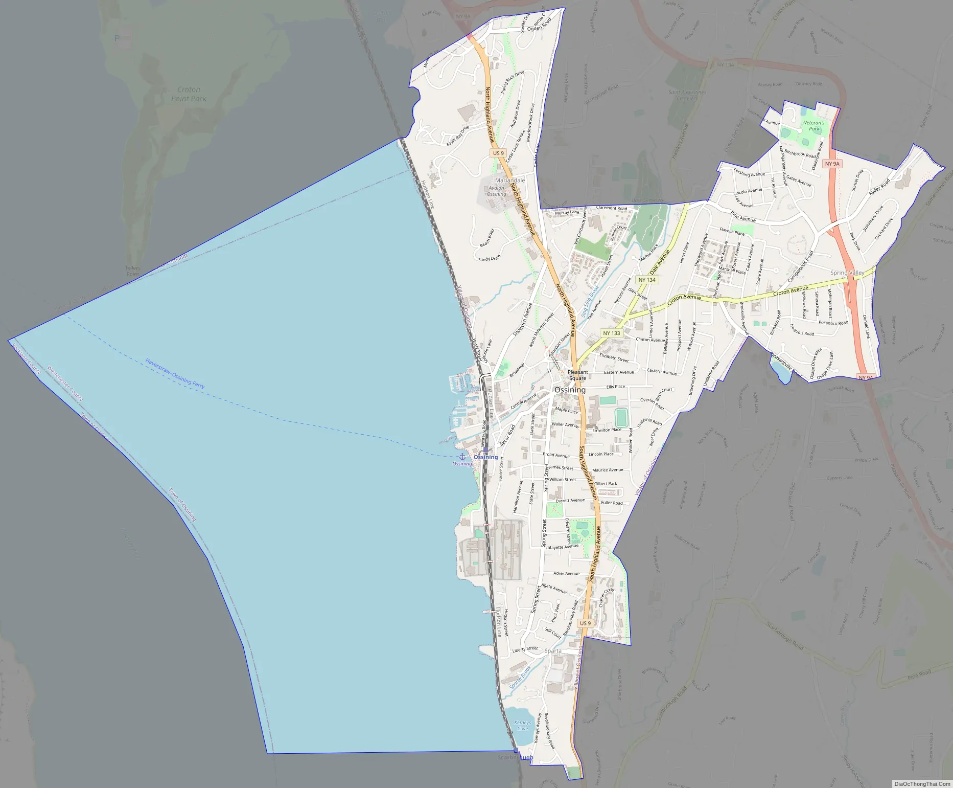
Ossining Road Map
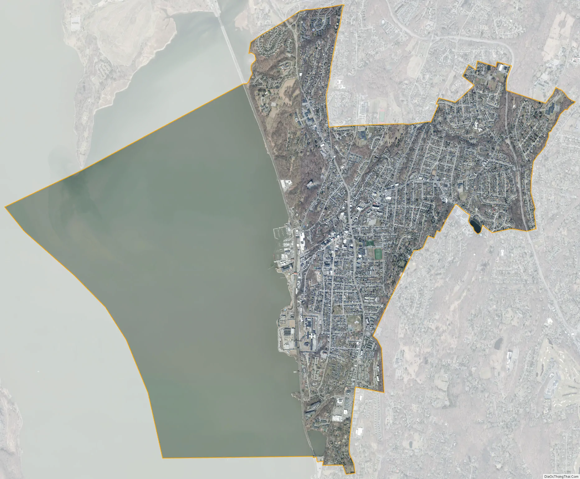
Ossining city Satellite Map
Geography
Ossining borders the eastern shores of the widest part of the Hudson River, the Tappan Zee.
According to the United States Census Bureau, the village has a total area of 6.3 square miles (16.4 km), of which 3.2 square miles (8.3 km) is land and 3.1 square miles (8.1 km) (49.37%) is water.
See also
Map of New York State and its subdivision:- Albany
- Allegany
- Bronx
- Broome
- Cattaraugus
- Cayuga
- Chautauqua
- Chemung
- Chenango
- Clinton
- Columbia
- Cortland
- Delaware
- Dutchess
- Erie
- Essex
- Franklin
- Fulton
- Genesee
- Greene
- Hamilton
- Herkimer
- Jefferson
- Kings
- Lake Ontario
- Lewis
- Livingston
- Madison
- Monroe
- Montgomery
- Nassau
- New York
- Niagara
- Oneida
- Onondaga
- Ontario
- Orange
- Orleans
- Oswego
- Otsego
- Putnam
- Queens
- Rensselaer
- Richmond
- Rockland
- Saint Lawrence
- Saratoga
- Schenectady
- Schoharie
- Schuyler
- Seneca
- Steuben
- Suffolk
- Sullivan
- Tioga
- Tompkins
- Ulster
- Warren
- Washington
- Wayne
- Westchester
- Wyoming
- Yates
- Alabama
- Alaska
- Arizona
- Arkansas
- California
- Colorado
- Connecticut
- Delaware
- District of Columbia
- Florida
- Georgia
- Hawaii
- Idaho
- Illinois
- Indiana
- Iowa
- Kansas
- Kentucky
- Louisiana
- Maine
- Maryland
- Massachusetts
- Michigan
- Minnesota
- Mississippi
- Missouri
- Montana
- Nebraska
- Nevada
- New Hampshire
- New Jersey
- New Mexico
- New York
- North Carolina
- North Dakota
- Ohio
- Oklahoma
- Oregon
- Pennsylvania
- Rhode Island
- South Carolina
- South Dakota
- Tennessee
- Texas
- Utah
- Vermont
- Virginia
- Washington
- West Virginia
- Wisconsin
- Wyoming


