Palatine Bridge is a village in Montgomery County, New York, United States. The population was 737 at the 2010 census. The basis of the name is the community’s location in a region settled by Palatine Germans. The Village of Palatine Bridge is in the Town of Palatine. The community is in the western part of the county, west of Amsterdam.
| Name: | Palatine Bridge village |
|---|---|
| LSAD Code: | 47 |
| LSAD Description: | village (suffix) |
| State: | New York |
| County: | Montgomery County |
| Elevation: | 344 ft (105 m) |
| Total Area: | 0.99 sq mi (2.57 km²) |
| Land Area: | 0.92 sq mi (2.39 km²) |
| Water Area: | 0.07 sq mi (0.19 km²) |
| Total Population: | 796 |
| Population Density: | 864.28/sq mi (333.54/km²) |
| ZIP code: | 13428 |
| Area code: | 518 |
| FIPS code: | 3656110 |
| GNISfeature ID: | 0959768 |
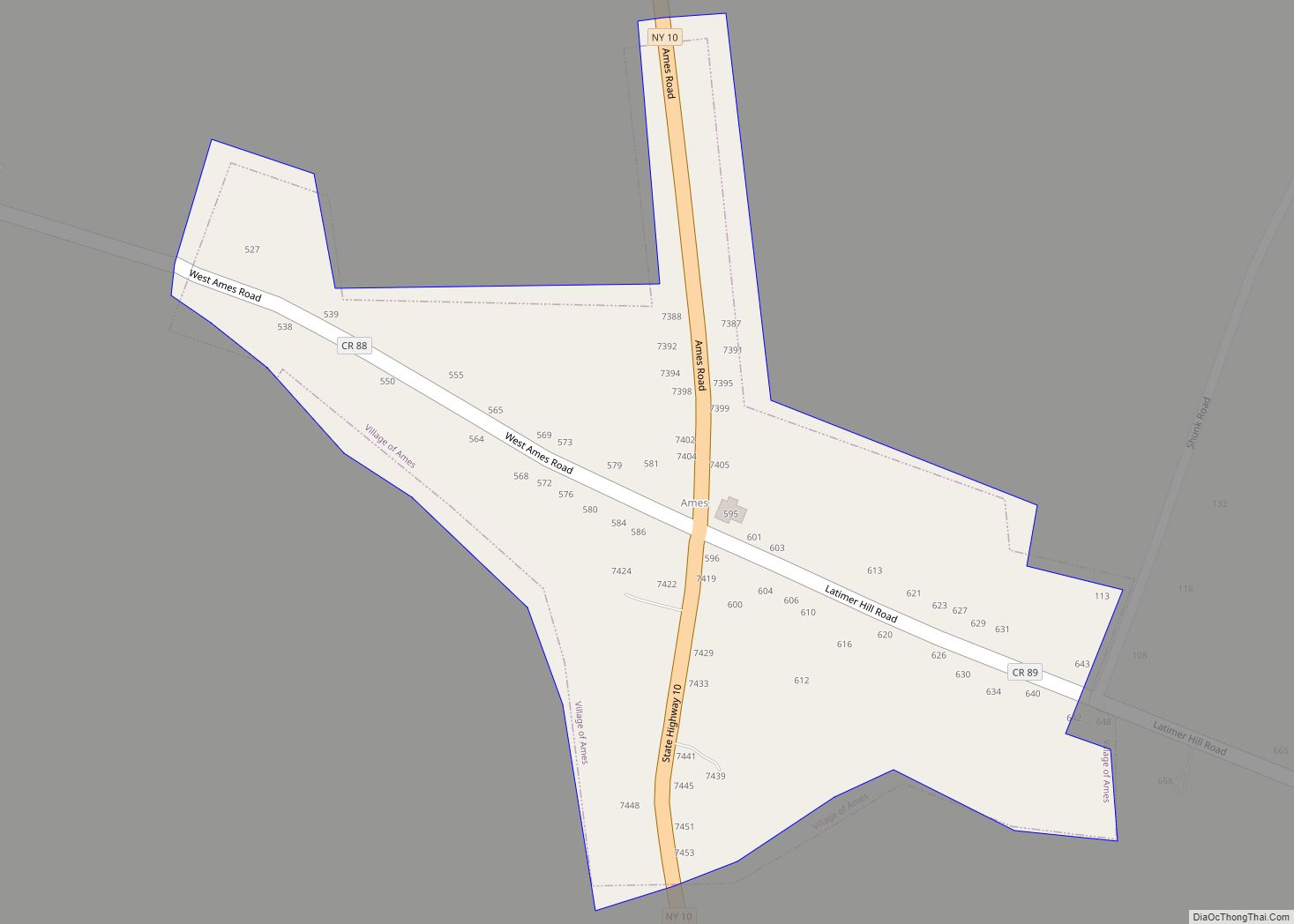
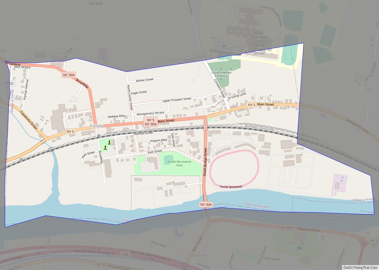
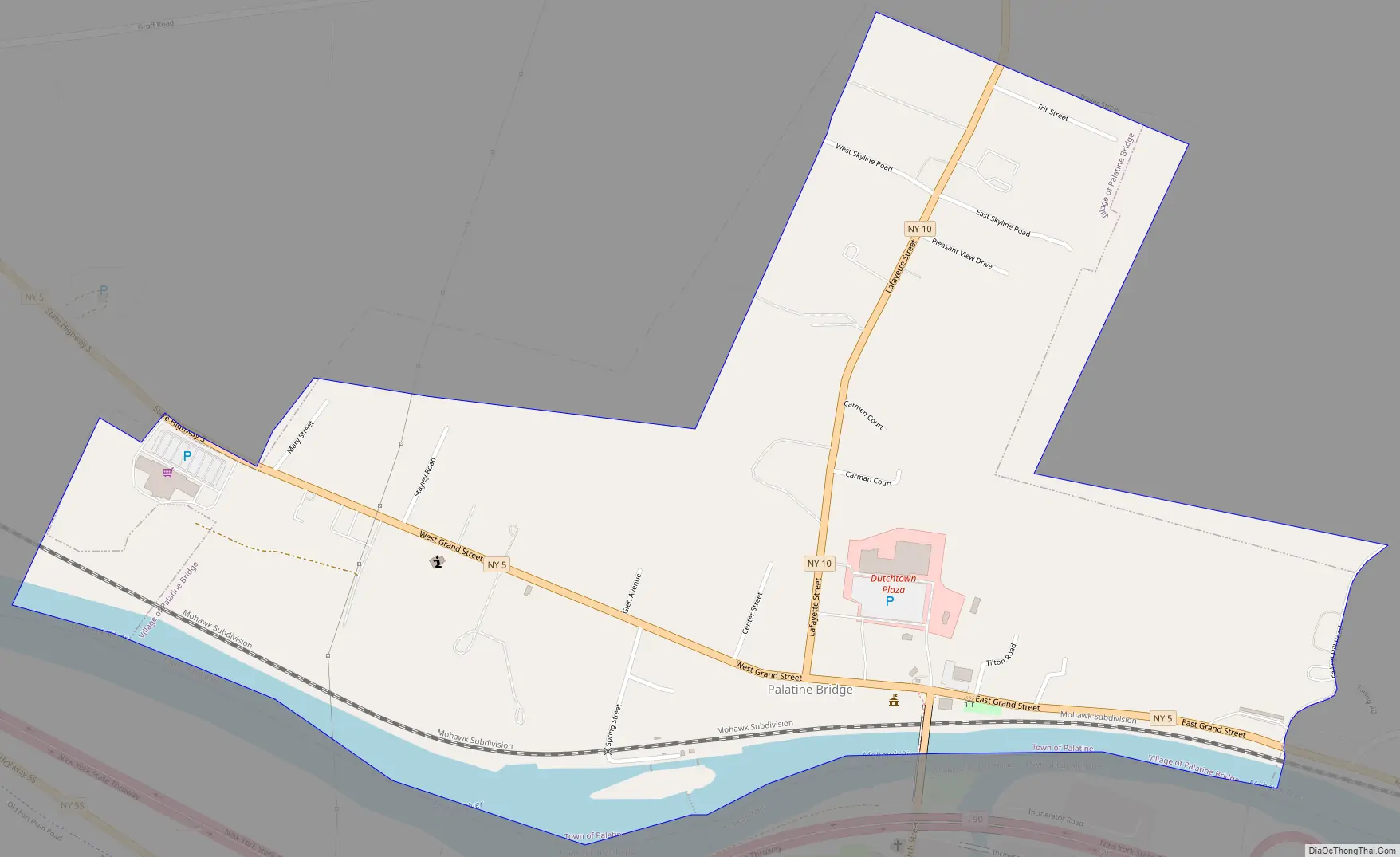
Online Interactive Map
Click on ![]() to view map in "full screen" mode.
to view map in "full screen" mode.
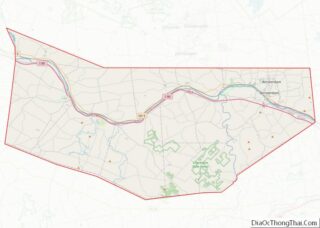
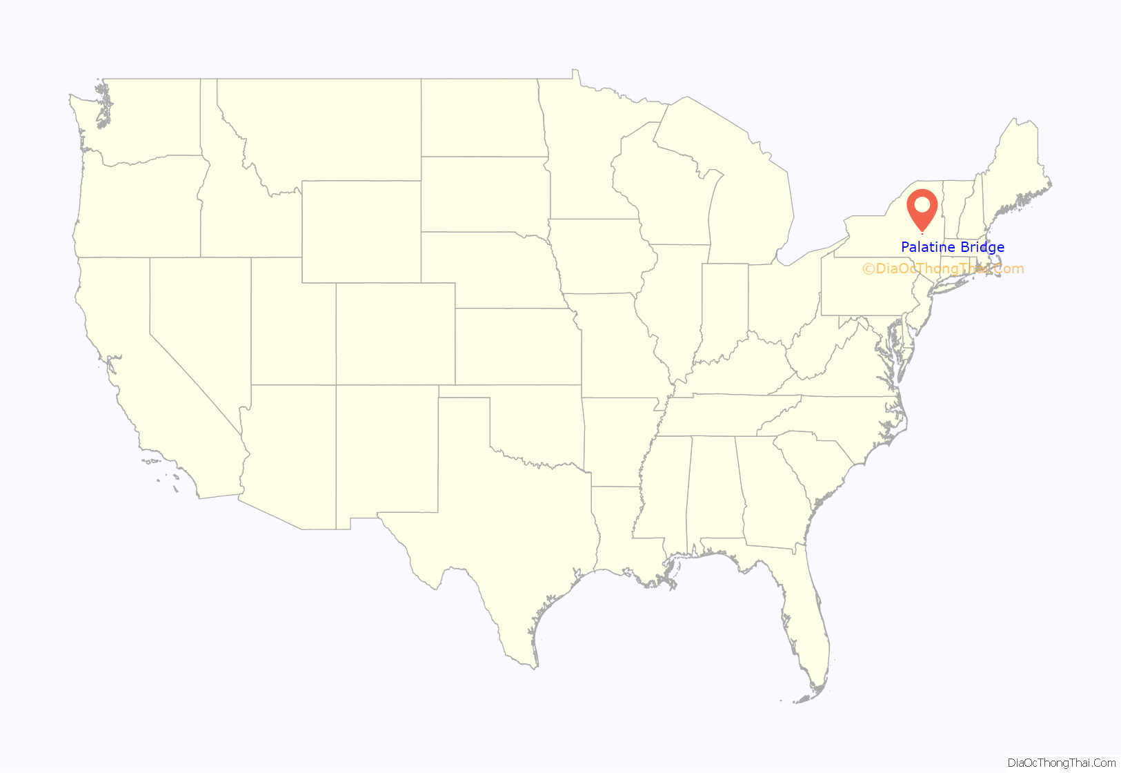
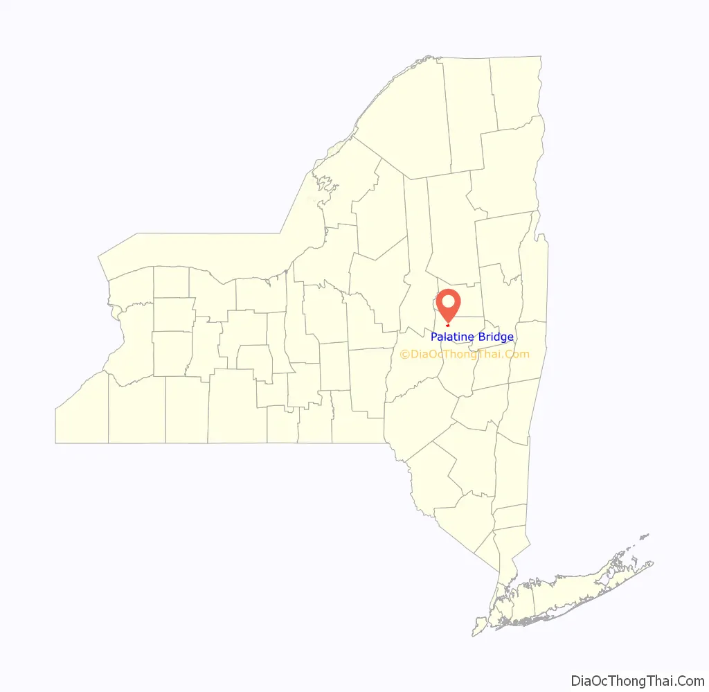
Palatine Bridge location map. Where is Palatine Bridge village?
History
Palatine Bridge was settled in 1723.
A bridge across the Mohawk River here built in 1798 gave the community its name.
The village was incorporated in 1867.
The Frey House, Palatine Bridge Freight House, and Webster Wagner House are listed on the National Register of Historic Places. In 2019 most of the developed portion of the village was listed on the Register as the Palatine Bridge Historic District.
Palatine Bridge Road Map
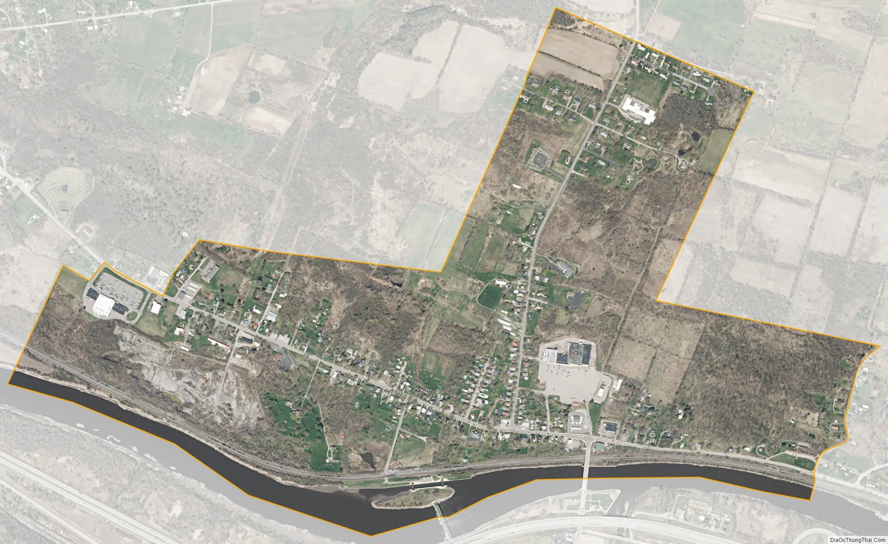
Palatine Bridge city Satellite Map
Geography
Palatine Bridge is located at 42°54′39″N 74°34′29″W / 42.910890°N 74.574827°W / 42.910890; -74.574827 (42.910890, -74.574827).
According to the United States Census Bureau, the village has a total area of 0.9 square miles (2.3 km), of which 0.9 square miles (2.3 km) is land and 0.1 square miles (0.26 km) (6.32%) is water.
The village is on the north side of the Mohawk River across from the Village of Canajoharie and the New York State Thruway.
New York State Route 5 (Grand Street) passes through Palatine Bridge, where it intersects with New York State Route 10 (Lafayette Street).
See also
Map of New York State and its subdivision:- Albany
- Allegany
- Bronx
- Broome
- Cattaraugus
- Cayuga
- Chautauqua
- Chemung
- Chenango
- Clinton
- Columbia
- Cortland
- Delaware
- Dutchess
- Erie
- Essex
- Franklin
- Fulton
- Genesee
- Greene
- Hamilton
- Herkimer
- Jefferson
- Kings
- Lake Ontario
- Lewis
- Livingston
- Madison
- Monroe
- Montgomery
- Nassau
- New York
- Niagara
- Oneida
- Onondaga
- Ontario
- Orange
- Orleans
- Oswego
- Otsego
- Putnam
- Queens
- Rensselaer
- Richmond
- Rockland
- Saint Lawrence
- Saratoga
- Schenectady
- Schoharie
- Schuyler
- Seneca
- Steuben
- Suffolk
- Sullivan
- Tioga
- Tompkins
- Ulster
- Warren
- Washington
- Wayne
- Westchester
- Wyoming
- Yates
- Alabama
- Alaska
- Arizona
- Arkansas
- California
- Colorado
- Connecticut
- Delaware
- District of Columbia
- Florida
- Georgia
- Hawaii
- Idaho
- Illinois
- Indiana
- Iowa
- Kansas
- Kentucky
- Louisiana
- Maine
- Maryland
- Massachusetts
- Michigan
- Minnesota
- Mississippi
- Missouri
- Montana
- Nebraska
- Nevada
- New Hampshire
- New Jersey
- New Mexico
- New York
- North Carolina
- North Dakota
- Ohio
- Oklahoma
- Oregon
- Pennsylvania
- Rhode Island
- South Carolina
- South Dakota
- Tennessee
- Texas
- Utah
- Vermont
- Virginia
- Washington
- West Virginia
- Wisconsin
- Wyoming