Tribes Hill is a census-designated place (CDP) located in the Towns of Mohawk (80%) and Amsterdam (20%) in Montgomery County, New York, United States. The population was 1,003 at the 2010 census. One theory is the name is based on this location having been a gathering spot for the Mohawk nation, the dominant Iroquois tribe in the area during colonial times. People who live here are referred to as “Tribes Hillbillies”.
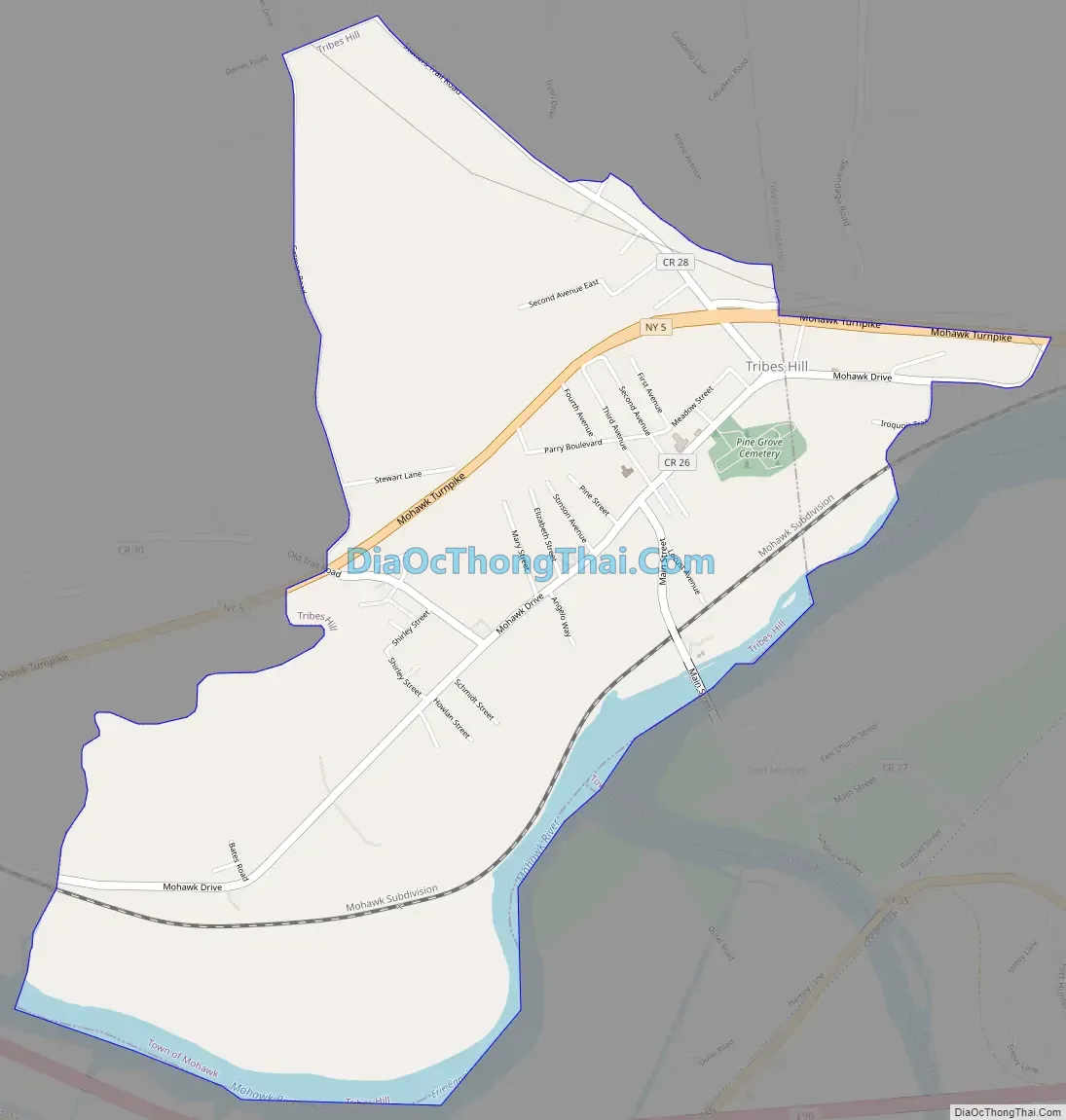
Tribes Hill spans the border of the Town of Mohawk and Town of Amsterdam, approximately five miles west of the City of Amsterdam on Route 5.
| Name: | Tribes Hill CDP |
|---|---|
| LSAD Code: | 57 |
| LSAD Description: | CDP (suffix) |
| State: | New York |
| County: | Montgomery County |
| Elevation: | 420 ft (128 m) |
| Total Area: | 2.41 sq mi (6.25 km²) |
| Land Area: | 2.28 sq mi (5.90 km²) |
| Water Area: | 0.14 sq mi (0.35 km²) |
| Total Population: | 937 |
| Population Density: | 411.51/sq mi (158.91/km²) |
| ZIP code: | 12177 |
| Area code: | 518 |
| FIPS code: | 3675341 |
| GNISfeature ID: | 0967803 |
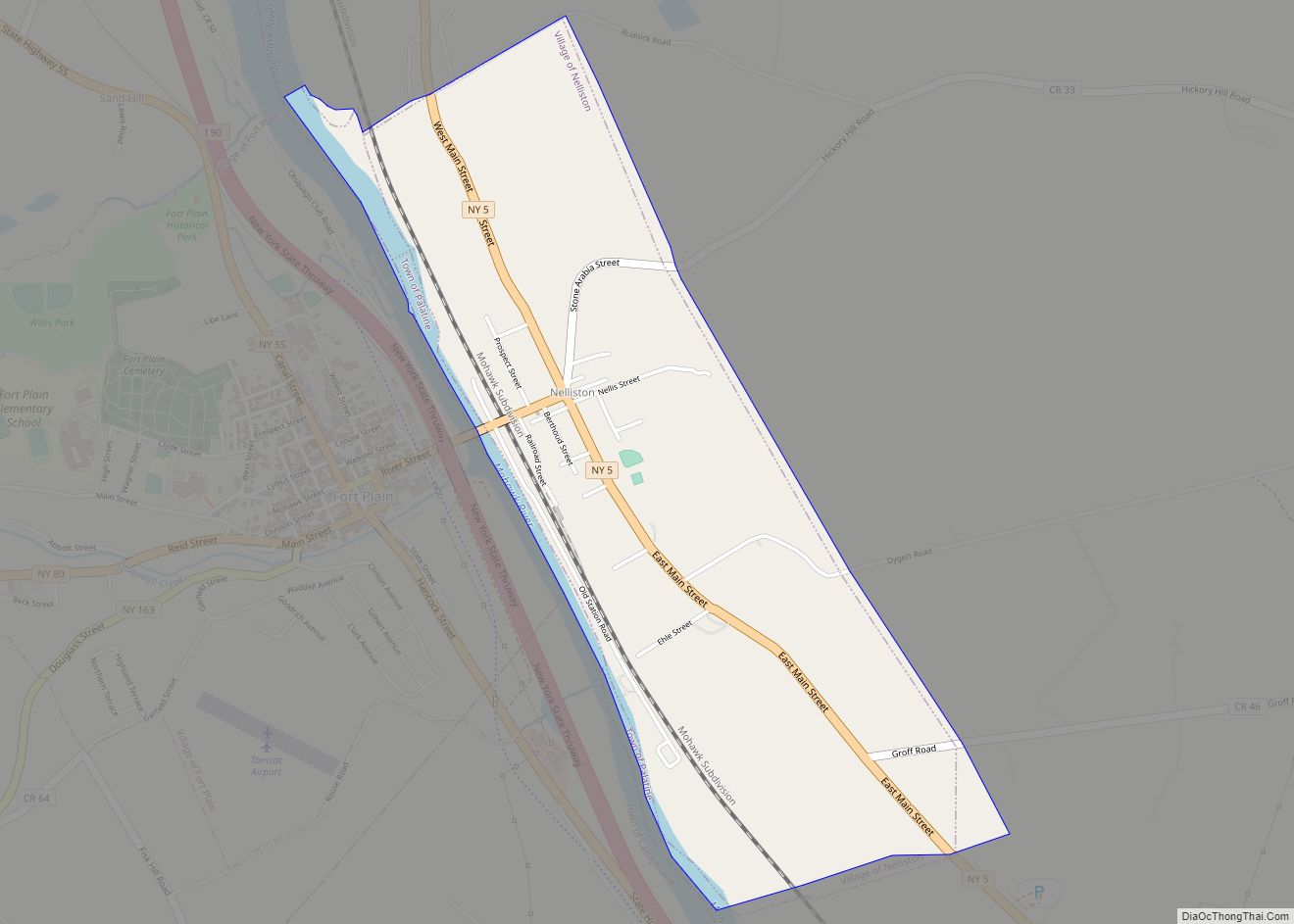
Online Interactive Map
Click on ![]() to view map in "full screen" mode.
to view map in "full screen" mode.
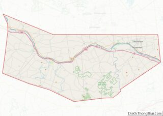
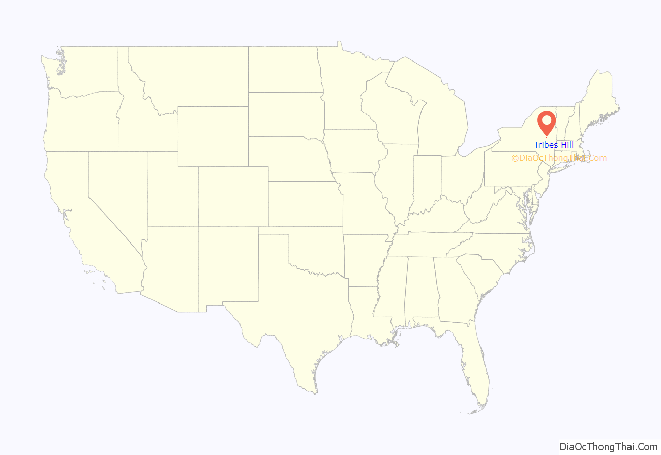
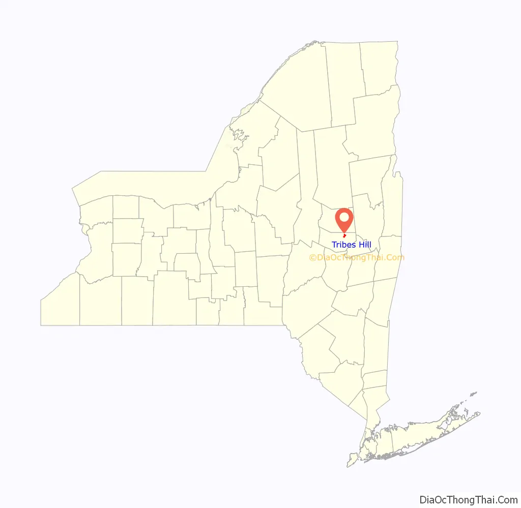
Tribes Hill location map. Where is Tribes Hill CDP?
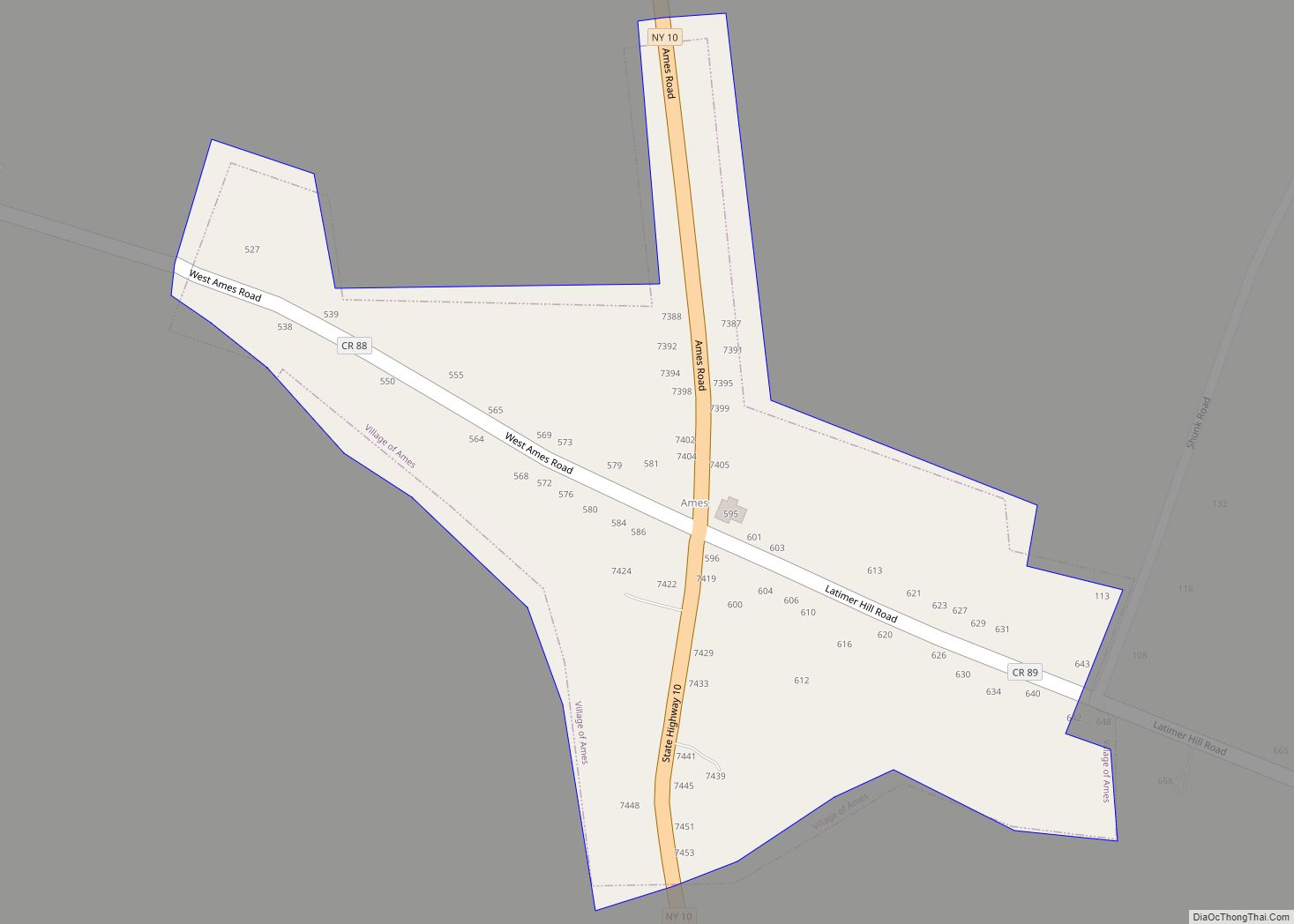
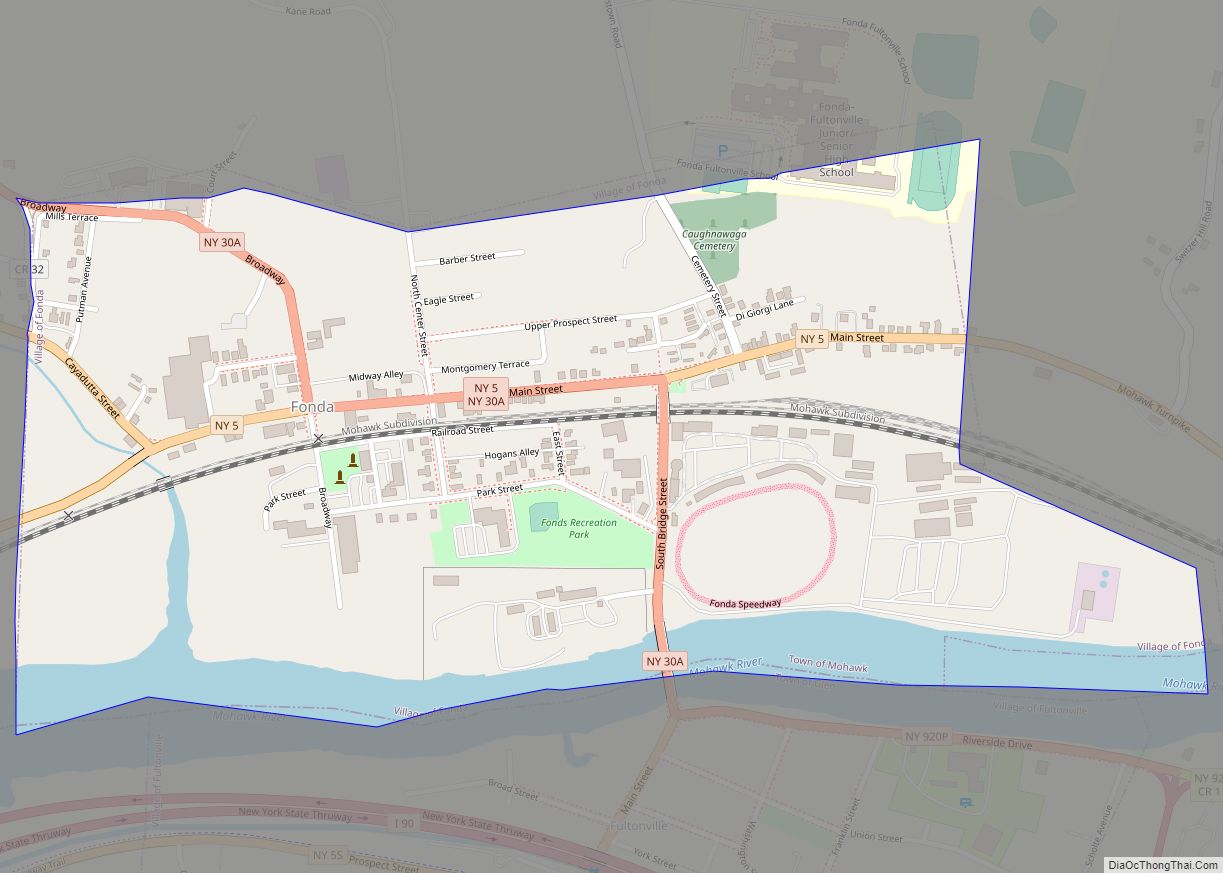
Tribes Hill Road Map
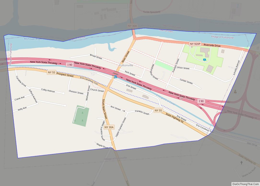
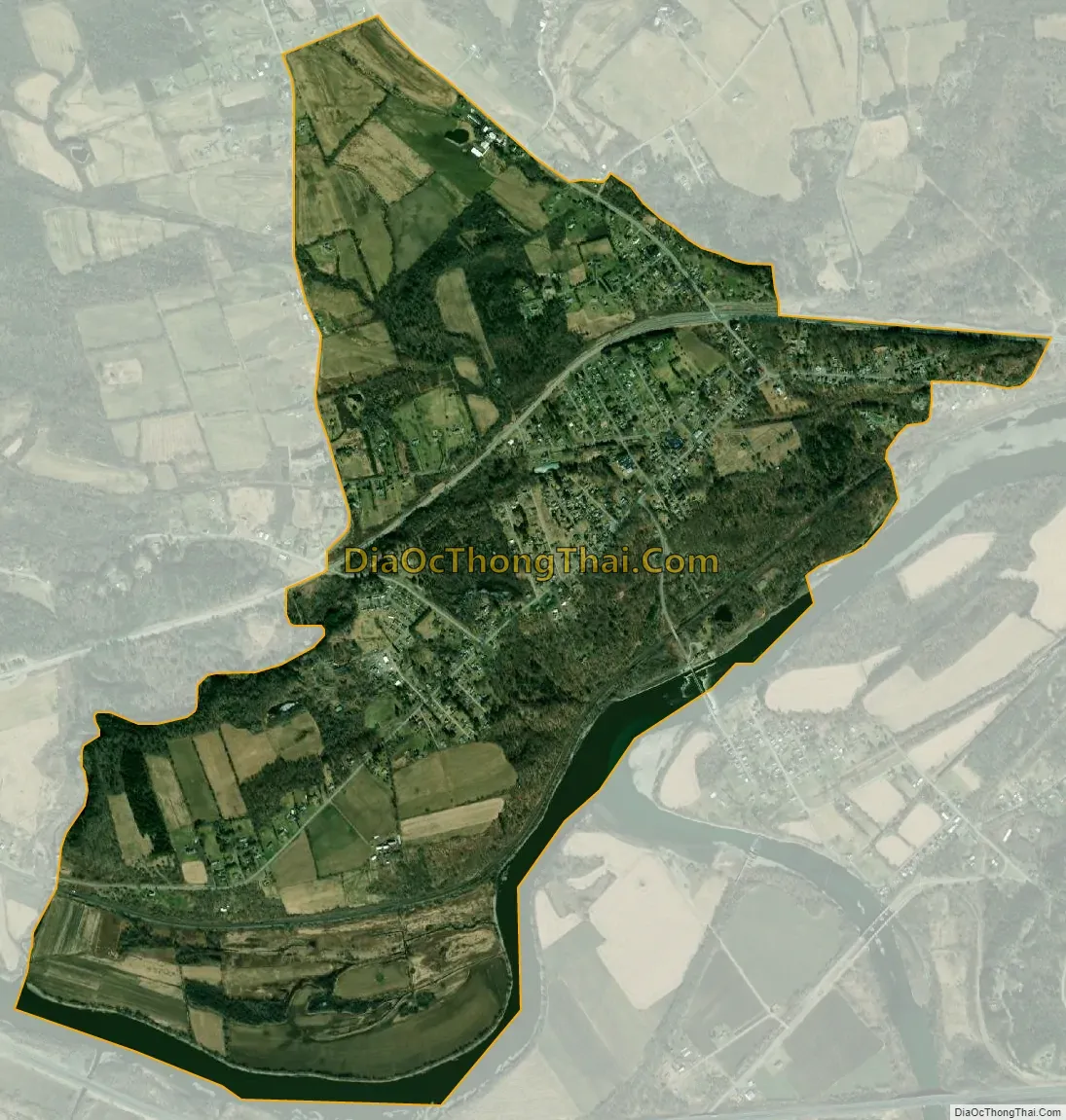
Tribes Hill city Satellite Map
Geography
Tribes Hill is located at 42°57′9″N 74°17′26″W / 42.95250°N 74.29056°W / 42.95250; -74.29056 (42.952392, -74.290590).
According to the United States Census Bureau, the CDP has a total area of 2.4 square miles (6.2 km), of which 2.3 square miles (6.0 km) is land and 0.1 square miles (0.26 km) (5.00%) is water.
The community is north of the Mohawk River.
See also
Map of New York State and its subdivision:- Albany
- Allegany
- Bronx
- Broome
- Cattaraugus
- Cayuga
- Chautauqua
- Chemung
- Chenango
- Clinton
- Columbia
- Cortland
- Delaware
- Dutchess
- Erie
- Essex
- Franklin
- Fulton
- Genesee
- Greene
- Hamilton
- Herkimer
- Jefferson
- Kings
- Lake Ontario
- Lewis
- Livingston
- Madison
- Monroe
- Montgomery
- Nassau
- New York
- Niagara
- Oneida
- Onondaga
- Ontario
- Orange
- Orleans
- Oswego
- Otsego
- Putnam
- Queens
- Rensselaer
- Richmond
- Rockland
- Saint Lawrence
- Saratoga
- Schenectady
- Schoharie
- Schuyler
- Seneca
- Steuben
- Suffolk
- Sullivan
- Tioga
- Tompkins
- Ulster
- Warren
- Washington
- Wayne
- Westchester
- Wyoming
- Yates
- Alabama
- Alaska
- Arizona
- Arkansas
- California
- Colorado
- Connecticut
- Delaware
- District of Columbia
- Florida
- Georgia
- Hawaii
- Idaho
- Illinois
- Indiana
- Iowa
- Kansas
- Kentucky
- Louisiana
- Maine
- Maryland
- Massachusetts
- Michigan
- Minnesota
- Mississippi
- Missouri
- Montana
- Nebraska
- Nevada
- New Hampshire
- New Jersey
- New Mexico
- New York
- North Carolina
- North Dakota
- Ohio
- Oklahoma
- Oregon
- Pennsylvania
- Rhode Island
- South Carolina
- South Dakota
- Tennessee
- Texas
- Utah
- Vermont
- Virginia
- Washington
- West Virginia
- Wisconsin
- Wyoming