Yorktown Heights is a census-designated place (CDP) in the town of Yorktown in Westchester County, New York, United States. The population was 1,781 at the 2010 census.
| Name: | Yorktown Heights CDP |
|---|---|
| LSAD Code: | 57 |
| LSAD Description: | CDP (suffix) |
| State: | New York |
| County: | Westchester County |
| Elevation: | 492 ft (150 m) |
| Total Area: | 0.92 sq mi (2.39 km²) |
| Land Area: | 0.92 sq mi (2.38 km²) |
| Water Area: | 0.00 sq mi (0.01 km²) |
| Total Population: | 1,884 |
| Population Density: | 2,050.05/sq mi (791.81/km²) |
| ZIP code: | 10598 |
| Area code: | 914 |
| FIPS code: | 3684088 |
| GNISfeature ID: | 0971839 |
| Website: | www.yorktownny.org |
Online Interactive Map
Click on ![]() to view map in "full screen" mode.
to view map in "full screen" mode.
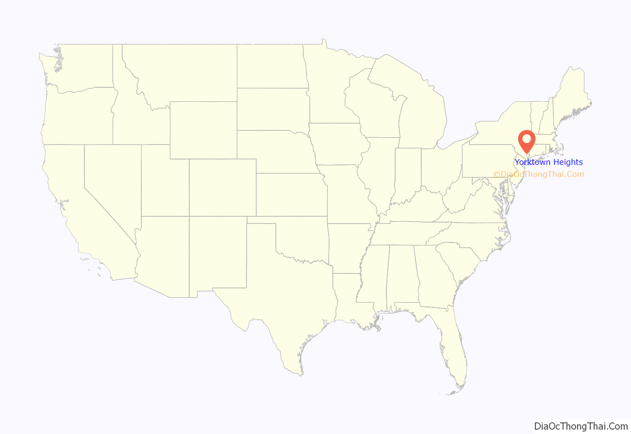
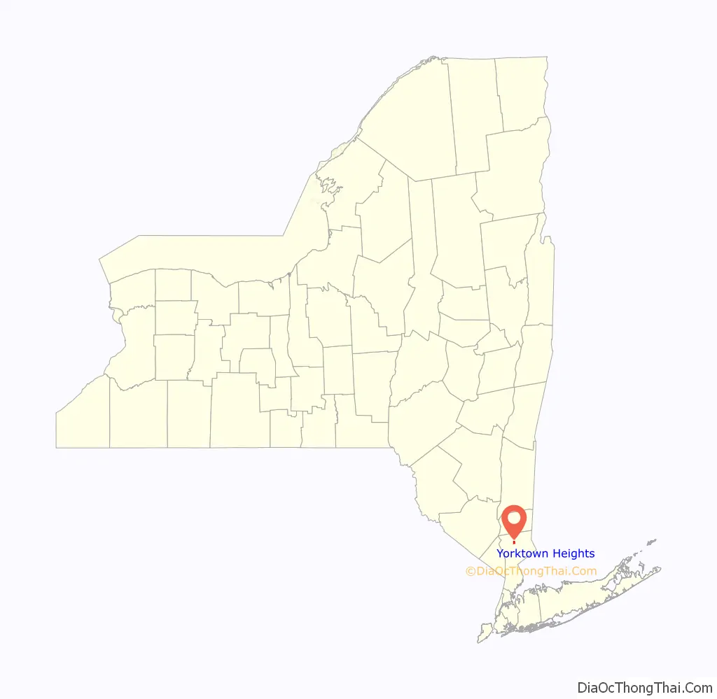
Yorktown Heights location map. Where is Yorktown Heights CDP?
History
Yorktown Heights is in the town of Yorktown, New York, in northern Westchester County, 45 miles from New York City, with forty square miles of rolling hills, farmland, residential areas and light industry including the IBM Thomas J. Watson Research Center. First settled in 1683, Yorktown was of strategic importance during the American Revolution, with the Pines Bridge crossing of the Croton River guarded by the 1st Rhode Island Regiment, an integrated unit which included African Americans and Native Americans. Yorktown was incorporated in 1788 and named in commemoration of the Franco-American decisive victory at Yorktown, Virginia. The Yorktown Heights Railroad Station, which last had passenger service on the New York Central Railroad’s Putnam Division in 1958, was added to the National Register of Historic Places in 1981.
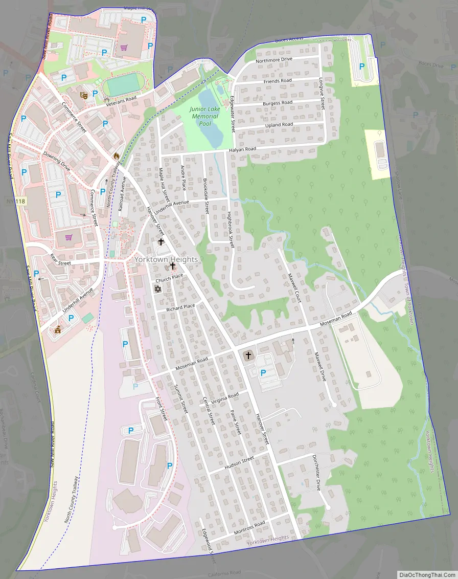
Yorktown Heights Road Map
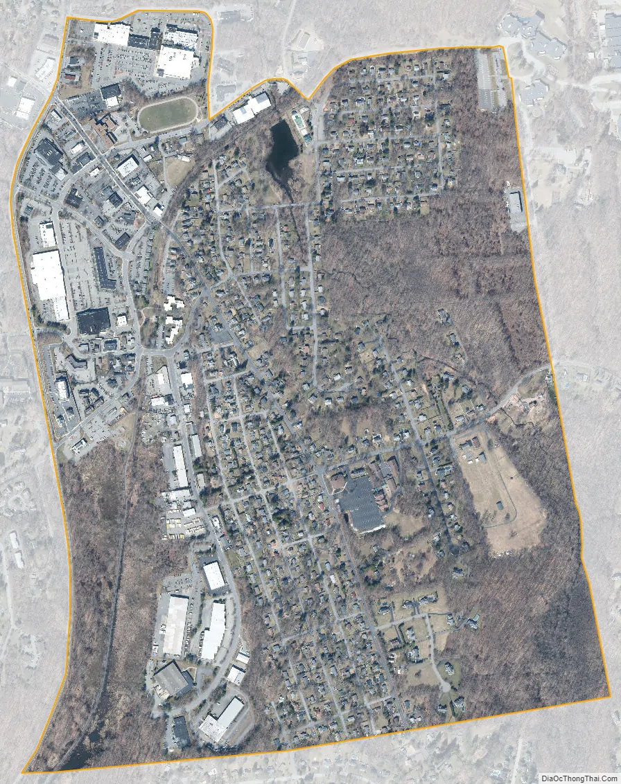
Yorktown Heights city Satellite Map
Geography
Yorktown Heights is at 41°16′38″N 73°46′53″W / 41.27722°N 73.78139°W / 41.27722; -73.78139 (41.277347, −73.781290).
The Yorktown Heights Census-designated place (CDP) has a total area of 0.93 square miles (2.4 km), all land.
Like much of northern Westchester County, Yorktown is largely hilly and wooded.
Climate
See also
Map of New York State and its subdivision:- Albany
- Allegany
- Bronx
- Broome
- Cattaraugus
- Cayuga
- Chautauqua
- Chemung
- Chenango
- Clinton
- Columbia
- Cortland
- Delaware
- Dutchess
- Erie
- Essex
- Franklin
- Fulton
- Genesee
- Greene
- Hamilton
- Herkimer
- Jefferson
- Kings
- Lake Ontario
- Lewis
- Livingston
- Madison
- Monroe
- Montgomery
- Nassau
- New York
- Niagara
- Oneida
- Onondaga
- Ontario
- Orange
- Orleans
- Oswego
- Otsego
- Putnam
- Queens
- Rensselaer
- Richmond
- Rockland
- Saint Lawrence
- Saratoga
- Schenectady
- Schoharie
- Schuyler
- Seneca
- Steuben
- Suffolk
- Sullivan
- Tioga
- Tompkins
- Ulster
- Warren
- Washington
- Wayne
- Westchester
- Wyoming
- Yates
- Alabama
- Alaska
- Arizona
- Arkansas
- California
- Colorado
- Connecticut
- Delaware
- District of Columbia
- Florida
- Georgia
- Hawaii
- Idaho
- Illinois
- Indiana
- Iowa
- Kansas
- Kentucky
- Louisiana
- Maine
- Maryland
- Massachusetts
- Michigan
- Minnesota
- Mississippi
- Missouri
- Montana
- Nebraska
- Nevada
- New Hampshire
- New Jersey
- New Mexico
- New York
- North Carolina
- North Dakota
- Ohio
- Oklahoma
- Oregon
- Pennsylvania
- Rhode Island
- South Carolina
- South Dakota
- Tennessee
- Texas
- Utah
- Vermont
- Virginia
- Washington
- West Virginia
- Wisconsin
- Wyoming


