Wellsville is a village in southern Columbiana County, Ohio, United States, along the Ohio River. Its population was 3,113 at the 2020 census. It is part of the Salem micropolitan area, 16 miles (26 km) north of Steubenville and 34 miles (55 km) south of Youngstown. In its heyday, Wellsville was home to industries in transportation, both through rail terminals on the Pennsylvania Railroad and docks on the Ohio River, as well as pottery and ceramics manufacturing.
| Name: | Wellsville village |
|---|---|
| LSAD Code: | 47 |
| LSAD Description: | village (suffix) |
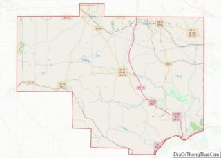
| State: | Ohio |
| County: | Columbiana County |
| Total Area: | 1.91 sq mi (4.95 km²) |
| Land Area: | 1.80 sq mi (4.67 km²) |
| Water Area: | 0.11 sq mi (0.28 km²) |
| Total Population: | 3,113 |
| Population Density: | 1,727.52/sq mi (667.02/km²) |
| ZIP code: | 43968 |
| Area code: | 330, 234 |
| FIPS code: | 3982740 |
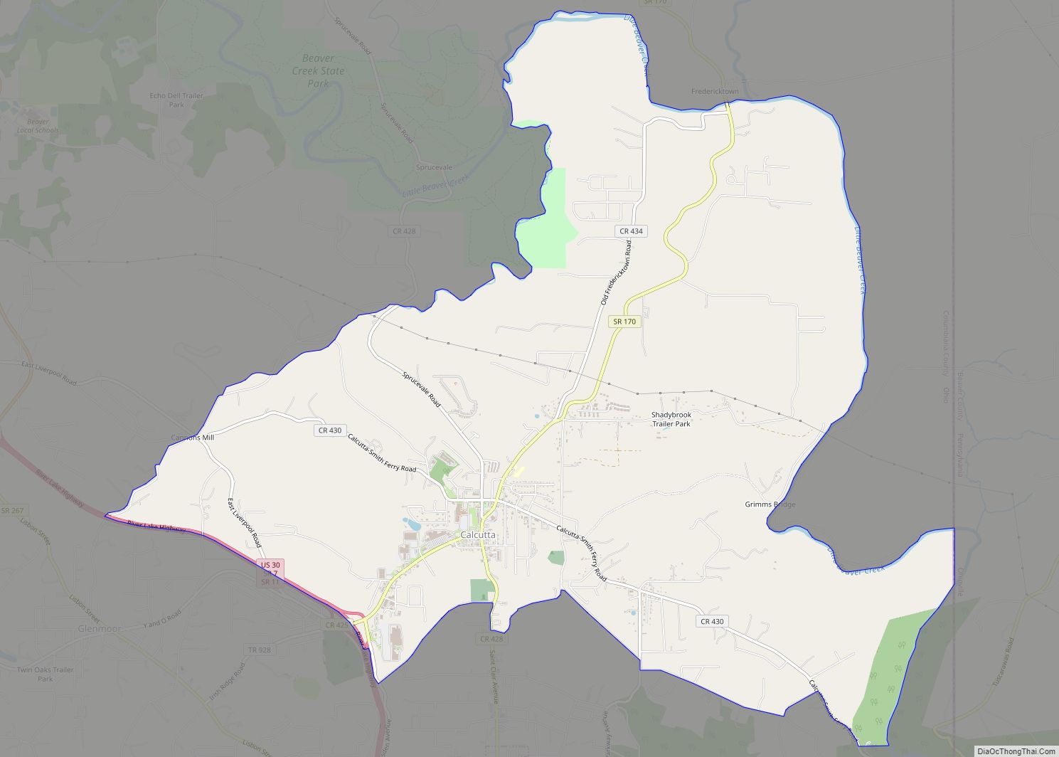
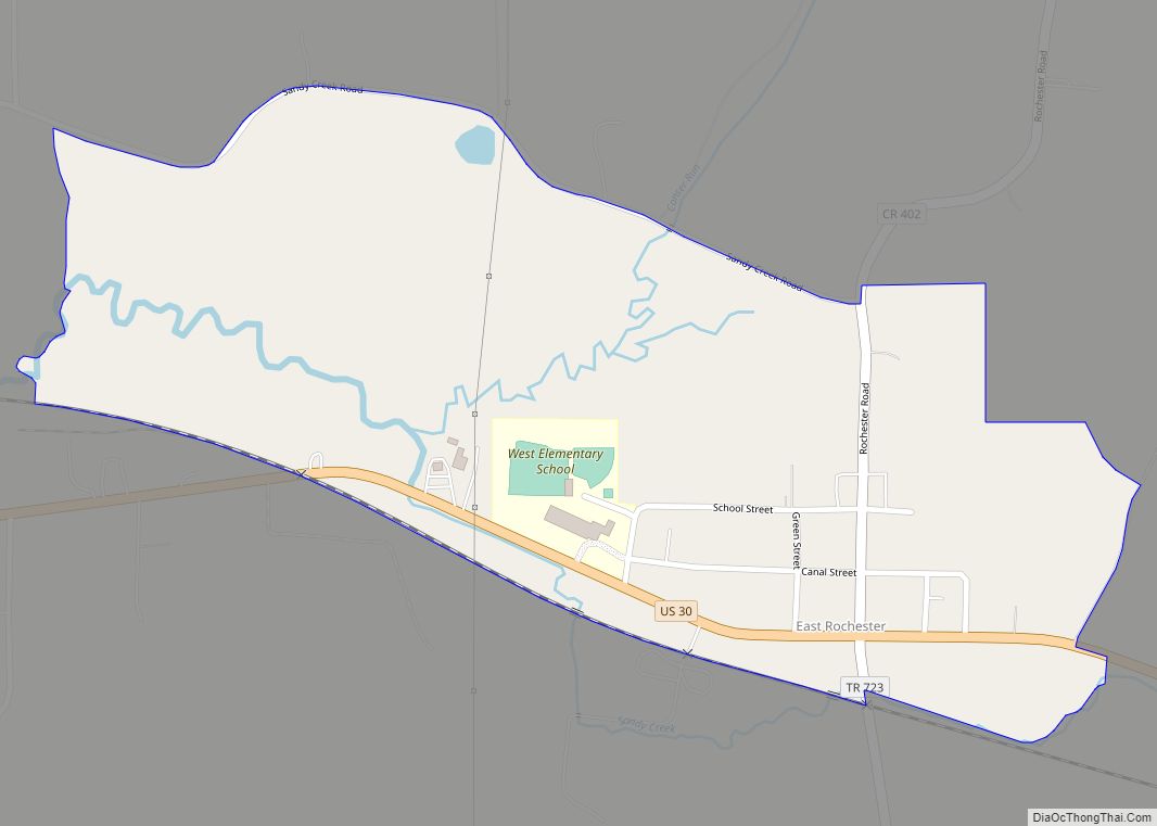
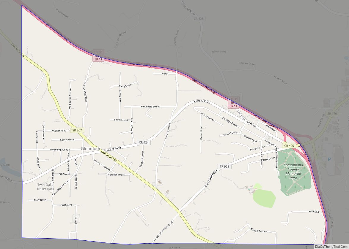
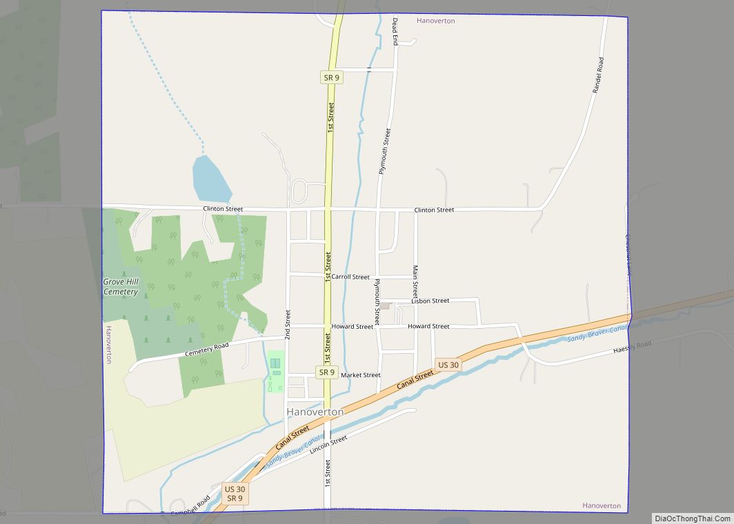
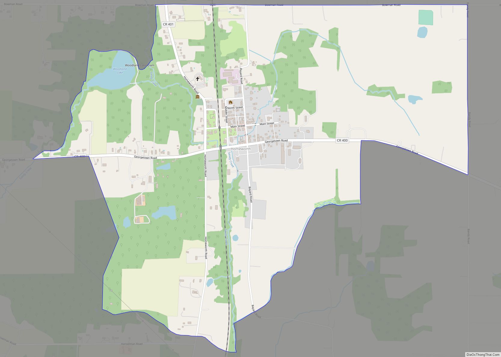
Online Interactive Map
Click on ![]() to view map in "full screen" mode.
to view map in "full screen" mode.
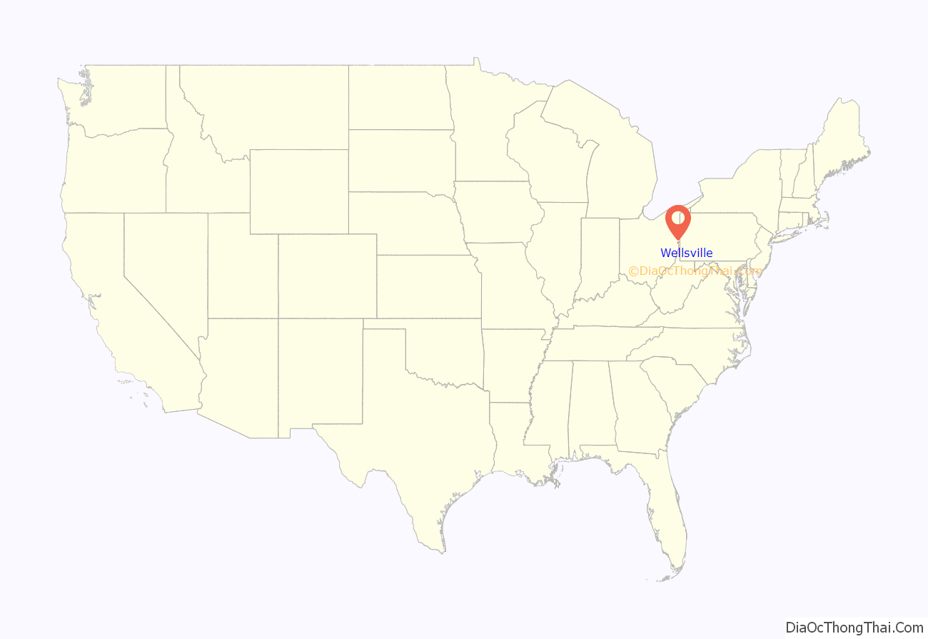
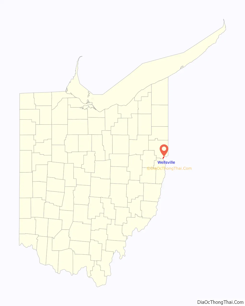
Wellsville location map. Where is Wellsville village?
History
Early history and establishment
In 1770, George Washington with his friend and personal surveyor, William Crawford, embarked on a journey down the Ohio River from Pittsburgh for the purpose of viewing lands to be apportioned among soldiers who had served in the French and Indian War. They are reported to have surveyed the Wellsville area, just north of Yellow Creek in 1770, and it was noted in his journal that it was good bottom land.
The Yellow Creek Massacre occurred near Wellsville in 1774. A group of Virginian settlers killed the relatives of a prominent Iroquois leader, Logan, who was camped on Yellow Creek. Logan took revenge, resulting in Lord Dunmore’s War.
James Clark and William Wells first settled in the area in 1795. Although they had to leave for a while due to Native American attacks in the area, they returned between 1797 and 1800. Wellsville was founded in 1797 by William Wells, a Pennsylvanian, and former justice of the Territory Northwest of the River Ohio. Wellsville’s first school and church were also established before 1800. A barn built in 1807 by the Aten family was moved to Hale Farm and Village in Bath, Ohio.
19th century to present
In 1814, a turnpike road was built to Lisbon, and in 1816, a post office was established with John J. Feehan serving as postmaster. In the 1820s, the first Methodist Episcopal Church was organized by Rev. John Callahan in the house of William Wells. This is supposed to be the first Methodist Episcopal Church organized in Ohio. Shortly thereafter, Joseph Wells founded the Methodist Protestant Church.
Wellsville finally took shape around 1823, when William Wells recorded that lots had been laid out for planned settlement. The initial site was bounded by the current Third and Fifth Streets, between Riverside Avenue and Commerce Street (although at the time they had different names.) In 1836, a foundry was opened to make steamboat machinery. It later became known as the Stevenson Company, and produced brick-making machinery. It still exists today as a fabrication and machine shop.
Wellsville was incorporated as a village in 1848. In 1852, the Cleveland & Pittsburgh Railroad (later acquired by the Pennsylvania Railroad) built a track from Hanover, Ohio, to Wellsville, and in 1856, it built a track from Wellsville to Rochester, Pennsylvania.
On February 14, 1861, Abraham Lincoln, on his way to his first inauguration, spoke to a large gathering in front of the Whitacre House, a hotel, in Wellsville. On July 26, 1863, Confederate States Army General John Hunt Morgan and several hundred of his soldiers surrendered to pursuing Union forces after Morgan’s Raid ended in nearby West Point, and were held in Wellsville before being shipped to the Ohio Penitentiary in Columbus. Morgan’s Raid was the northernmost advance of Confederate troops during the Civil War. At this time, Ohio State Route 45 was known as the Warren-Ashtabula Turnpike, which ran from Wellsville to Lake Erie. It was an important part of the Underground Railroad.
During the 1896 presidential campaign, Democratic candidate William Jennings Bryan addressed a crowd in Wellsville from the back of a train. Bryan was the first candidate to successfully embrace “whistle stop” campaigning, harnessing the power of a young rail network to reach masses of voters.
The 1936 flooding of the Ohio River resulted in the construction of a flood wall. In 1951, his only year of varsity basketball at Wellsville, Bevo Francis scored 776 points in 25 games for an average of nearly 32 points per game. In the process, he led his team to a stunning 19-1 regular-season record and a berth in the state playoffs. He was a unanimous all-state performer. In 1986, the 1870 Episcopal Church of the Ascension and Manse was listed on the National Register of Historic Places.
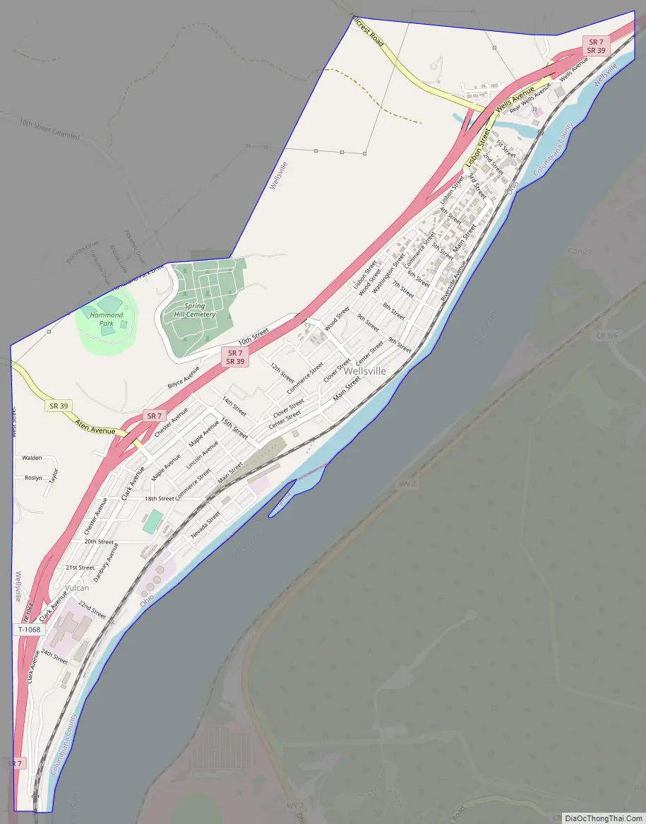
Wellsville Road Map
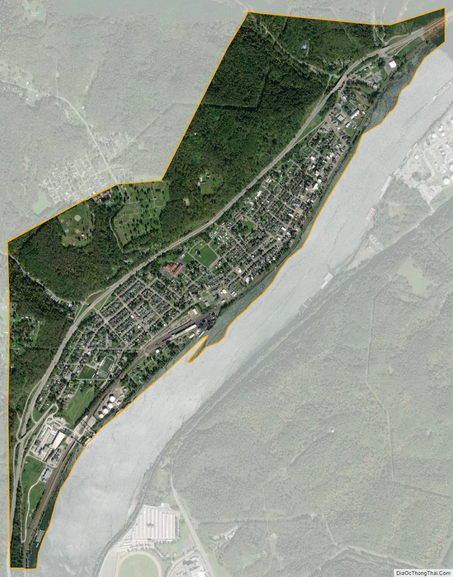
Wellsville city Satellite Map
Geography
Wellsville is located at 40°36′15″N 80°39′8″W / 40.60417°N 80.65222°W / 40.60417; -80.65222 (40.604168, -80.652207).
The elevation is 682 feet above sea level.
It is located on the Allegheny Plateau. Its southern border is the Ohio River. On its eastern border is the Little Yellow Creek and on its western border is the Yellow Cheek. Its northern border is rising hills.
According to the United States Census Bureau, the village has a total area of 1.91 square miles (4.95 km), of which 1.80 square miles (4.66 km) is land and 0.11 square miles (0.28 km) is water.
See also
Map of Ohio State and its subdivision:- Adams
- Allen
- Ashland
- Ashtabula
- Athens
- Auglaize
- Belmont
- Brown
- Butler
- Carroll
- Champaign
- Clark
- Clermont
- Clinton
- Columbiana
- Coshocton
- Crawford
- Cuyahoga
- Darke
- Defiance
- Delaware
- Erie
- Fairfield
- Fayette
- Franklin
- Fulton
- Gallia
- Geauga
- Greene
- Guernsey
- Hamilton
- Hancock
- Hardin
- Harrison
- Henry
- Highland
- Hocking
- Holmes
- Huron
- Jackson
- Jefferson
- Knox
- Lake
- Lake Erie
- Lawrence
- Licking
- Logan
- Lorain
- Lucas
- Madison
- Mahoning
- Marion
- Medina
- Meigs
- Mercer
- Miami
- Monroe
- Montgomery
- Morgan
- Morrow
- Muskingum
- Noble
- Ottawa
- Paulding
- Perry
- Pickaway
- Pike
- Portage
- Preble
- Putnam
- Richland
- Ross
- Sandusky
- Scioto
- Seneca
- Shelby
- Stark
- Summit
- Trumbull
- Tuscarawas
- Union
- Van Wert
- Vinton
- Warren
- Washington
- Wayne
- Williams
- Wood
- Wyandot
- Alabama
- Alaska
- Arizona
- Arkansas
- California
- Colorado
- Connecticut
- Delaware
- District of Columbia
- Florida
- Georgia
- Hawaii
- Idaho
- Illinois
- Indiana
- Iowa
- Kansas
- Kentucky
- Louisiana
- Maine
- Maryland
- Massachusetts
- Michigan
- Minnesota
- Mississippi
- Missouri
- Montana
- Nebraska
- Nevada
- New Hampshire
- New Jersey
- New Mexico
- New York
- North Carolina
- North Dakota
- Ohio
- Oklahoma
- Oregon
- Pennsylvania
- Rhode Island
- South Carolina
- South Dakota
- Tennessee
- Texas
- Utah
- Vermont
- Virginia
- Washington
- West Virginia
- Wisconsin
- Wyoming