Archbald is a borough in Lackawanna County, Pennsylvania, United States. It is part of Northeastern Pennsylvania and is named for James Archbald, the first mayor of Carbondale, Pennsylvania. Before being renamed in Archbald’s honor, the name of the settlement was White Oak Run. Most of the original settlers were Irish Catholics, fleeing the Great Famine. The population was 7,319 at the 2020 census.
The village of Eynon is incorporated into Archbald.
| Name: | Archbald borough |
|---|---|
| LSAD Code: | 21 |
| LSAD Description: | borough (suffix) |
| State: | Pennsylvania |
| County: | Lackawanna County |
| Elevation: | 1,079 ft (329 m) |
| Total Area: | 17.10 sq mi (44.29 km²) |
| Land Area: | 17.09 sq mi (44.26 km²) |
| Water Area: | 0.01 sq mi (0.04 km²) |
| Total Population: | 7,297 |
| Population Density: | 427.02/sq mi (164.87/km²) |
| ZIP code: | 18403 |
| Area code: | 570 |
| FIPS code: | 4202832 |
| GNISfeature ID: | 1215313 |
Online Interactive Map
Click on ![]() to view map in "full screen" mode.
to view map in "full screen" mode.
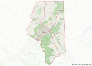
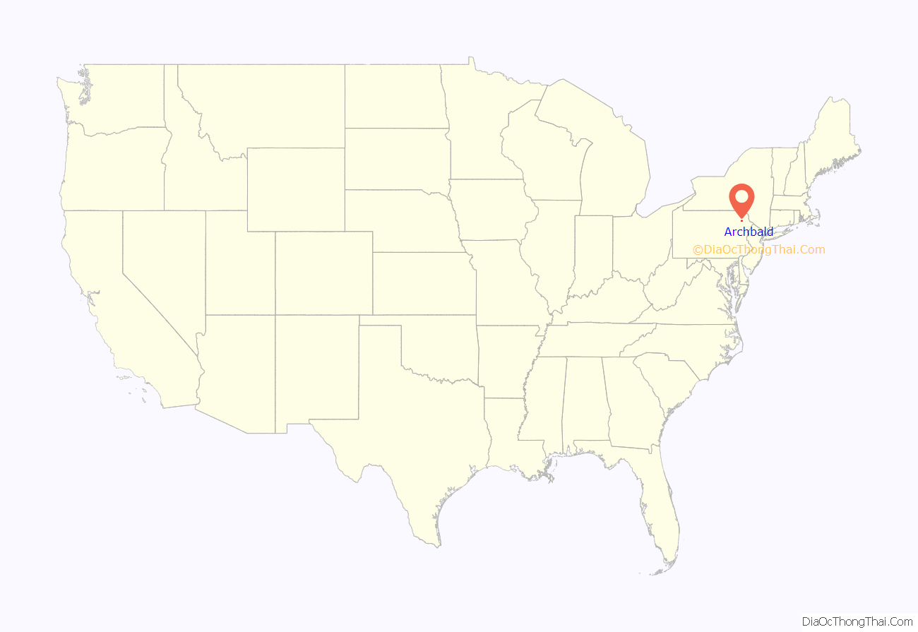
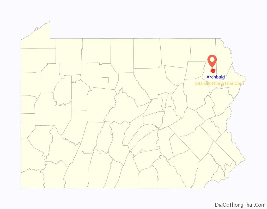
Archbald location map. Where is Archbald borough?
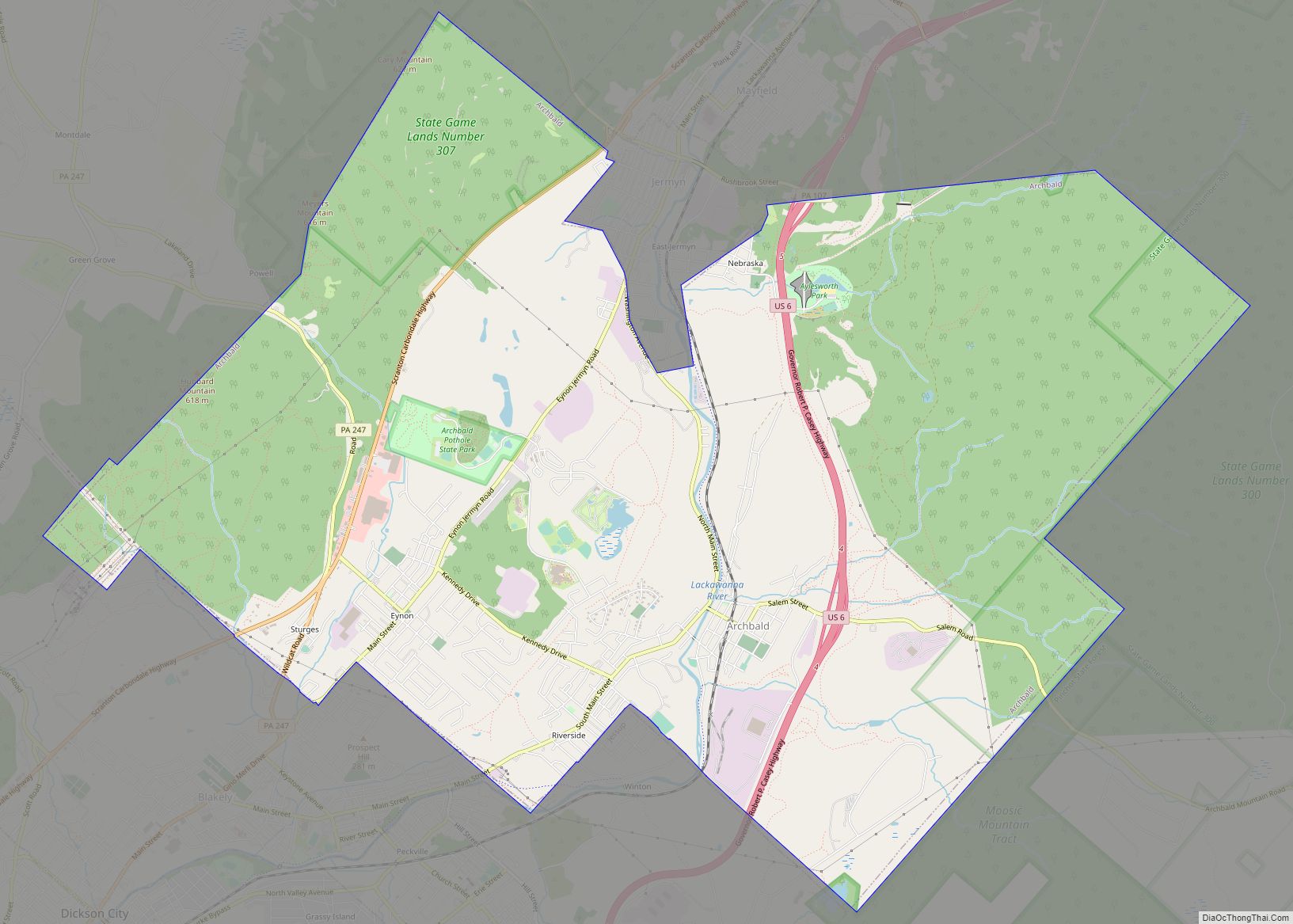
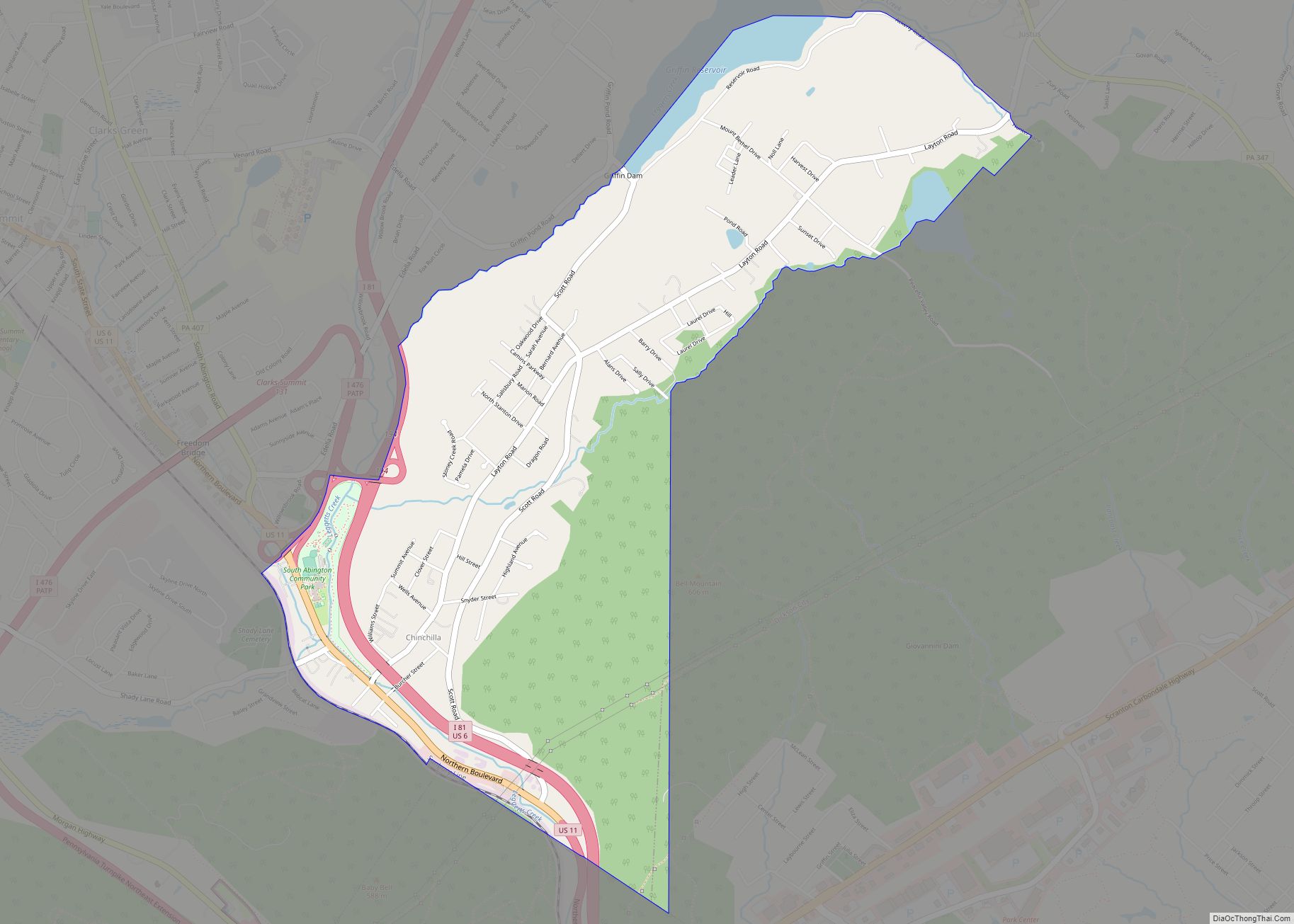
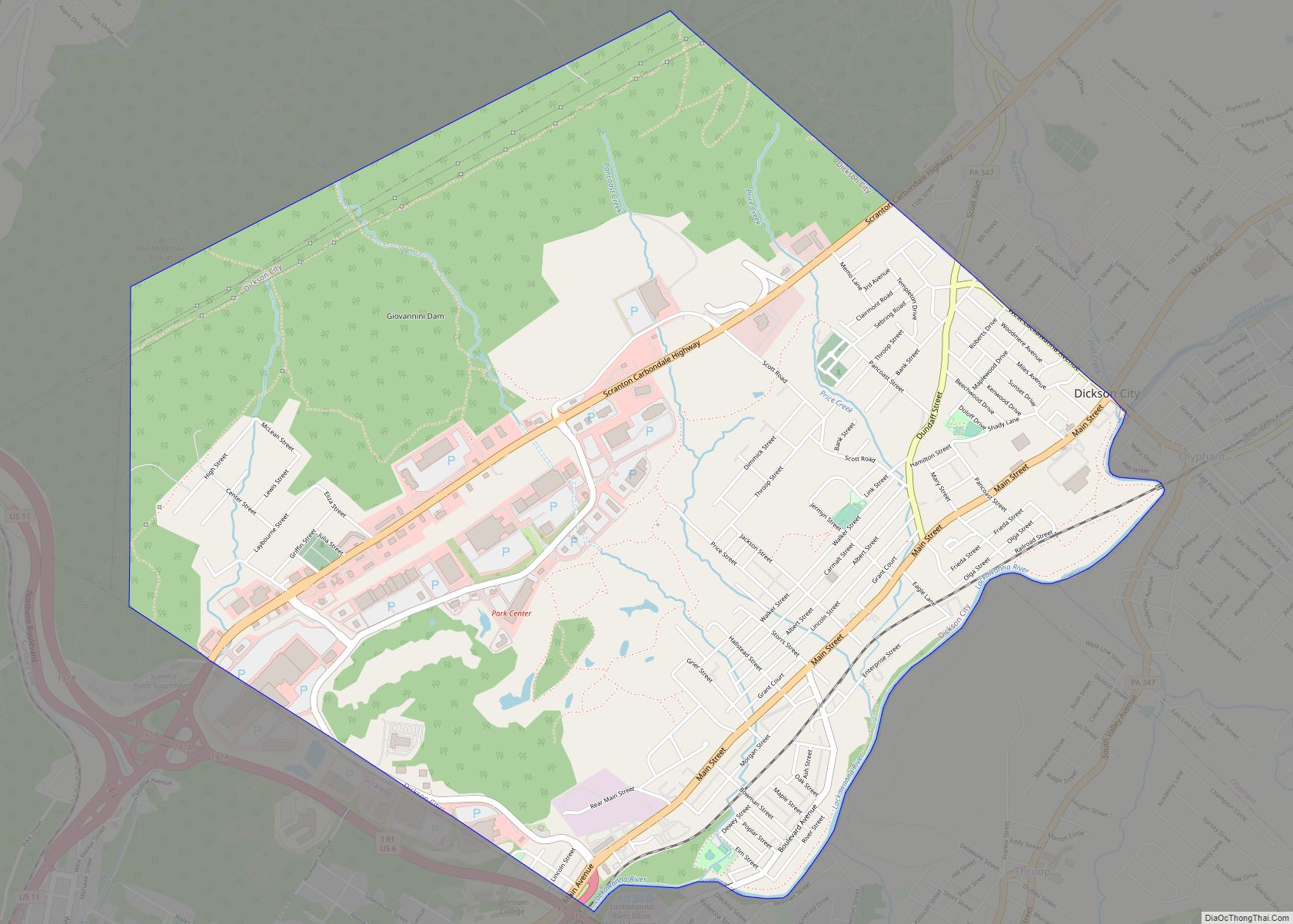
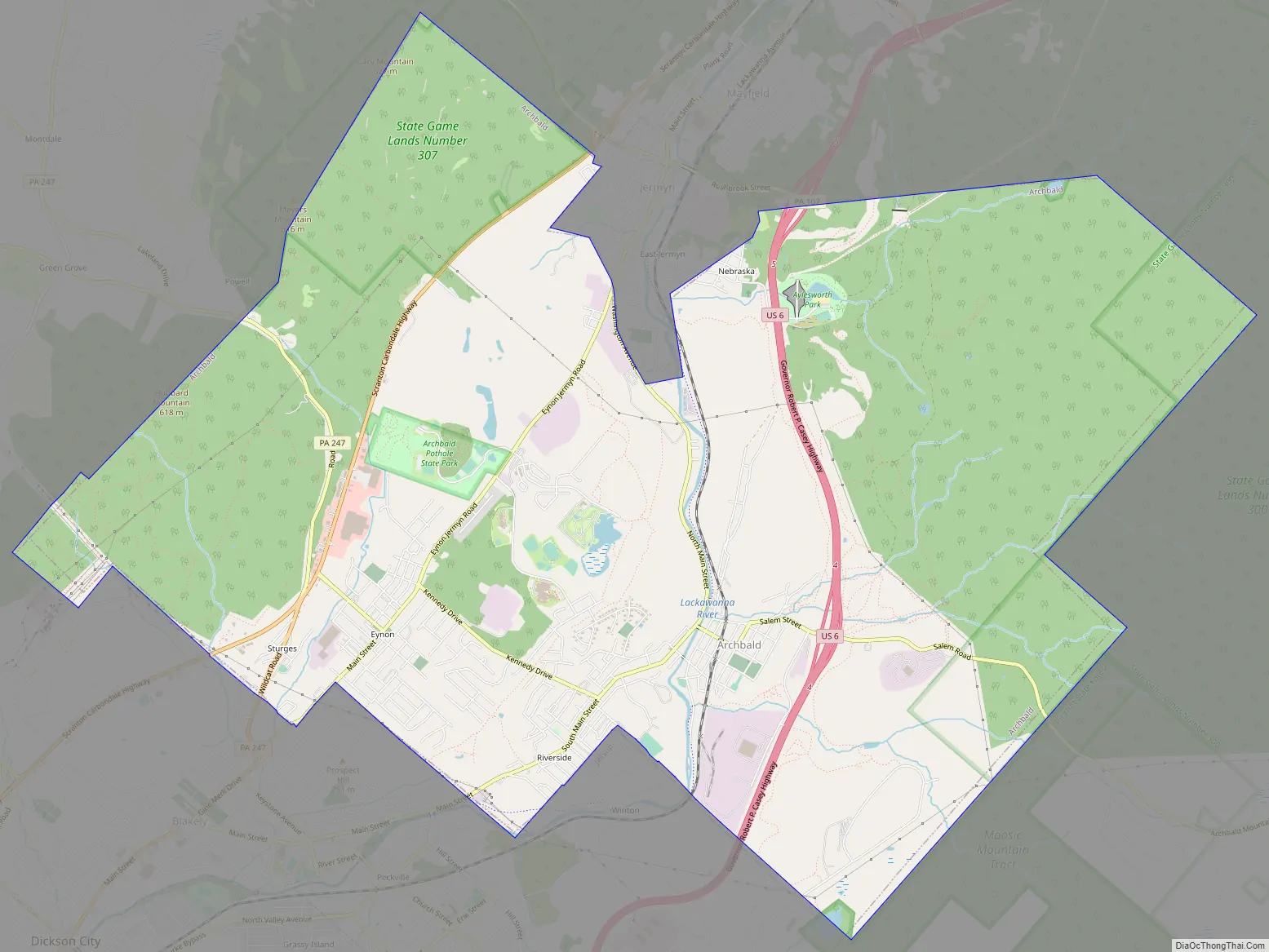
Archbald Road Map
Archbald city Satellite Map
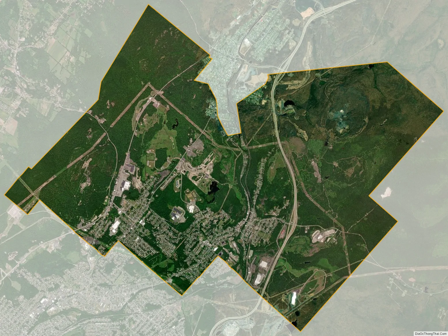
Geography
Archbald is located at 41°30′23″N 75°33′02″W / 41.506383°N 75.550512°W / 41.506383; -75.550512. According to the United States Census Bureau, the borough has a total area of 17.10 sqmi (44.29 km), of which 17.09 smi (44.26 km) is land and 0.014 sqmi (0.036 km) (0.06%) is water.
See also
Map of Pennsylvania State and its subdivision:- Adams
- Allegheny
- Armstrong
- Beaver
- Bedford
- Berks
- Blair
- Bradford
- Bucks
- Butler
- Cambria
- Cameron
- Carbon
- Centre
- Chester
- Clarion
- Clearfield
- Clinton
- Columbia
- Crawford
- Cumberland
- Dauphin
- Delaware
- Elk
- Erie
- Fayette
- Forest
- Franklin
- Fulton
- Greene
- Huntingdon
- Indiana
- Jefferson
- Juniata
- Lackawanna
- Lancaster
- Lawrence
- Lebanon
- Lehigh
- Luzerne
- Lycoming
- Mc Kean
- Mercer
- Mifflin
- Monroe
- Montgomery
- Montour
- Northampton
- Northumberland
- Perry
- Philadelphia
- Pike
- Potter
- Schuylkill
- Snyder
- Somerset
- Sullivan
- Susquehanna
- Tioga
- Union
- Venango
- Warren
- Washington
- Wayne
- Westmoreland
- Wyoming
- York
- Alabama
- Alaska
- Arizona
- Arkansas
- California
- Colorado
- Connecticut
- Delaware
- District of Columbia
- Florida
- Georgia
- Hawaii
- Idaho
- Illinois
- Indiana
- Iowa
- Kansas
- Kentucky
- Louisiana
- Maine
- Maryland
- Massachusetts
- Michigan
- Minnesota
- Mississippi
- Missouri
- Montana
- Nebraska
- Nevada
- New Hampshire
- New Jersey
- New Mexico
- New York
- North Carolina
- North Dakota
- Ohio
- Oklahoma
- Oregon
- Pennsylvania
- Rhode Island
- South Carolina
- South Dakota
- Tennessee
- Texas
- Utah
- Vermont
- Virginia
- Washington
- West Virginia
- Wisconsin
- Wyoming