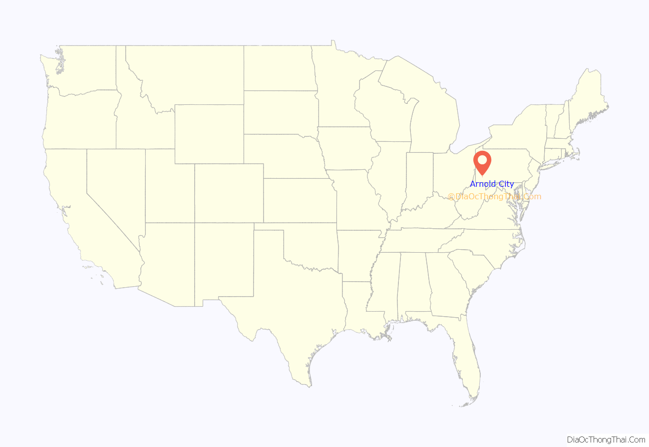
Arnold City is an unincorporated community and census-designated place in Washington Township, Fayette County, Pennsylvania, United States. It is located approximately 3 miles (5 km) east of the borough of Belle Vernon, in far northwestern Fayette County. As of the 2010 census, the population of Arnold City was 498.
| Name: | Arnold City CDP |
|---|---|
| LSAD Code: | 57 |
| LSAD Description: | CDP (suffix) |
| State: | Pennsylvania |
| County: | Fayette County |
| Elevation: | 950 ft (290 m) |
| Total Area: | 0.48 sq mi (1.24 km²) |
| Land Area: | 0.48 sq mi (1.24 km²) |
| Water Area: | 0.00 sq mi (0.00 km²) |
| Total Population: | 462 |
| Population Density: | 962.50/sq mi (371.32/km²) |
| FIPS code: | 4203096 |
| GNISfeature ID: | 1168409 |
Online Interactive Map
Click on ![]() to view map in "full screen" mode.
to view map in "full screen" mode.
Arnold City location map. Where is Arnold City CDP?
History
Like many towns in the area, Arnold City has been home to many coal miners supporting the coal industry in the region. The town supported housing for several nearby coal mines, including the Naomi Mine in Fayette City. Housing was constructed by the Hillman Coal and Coke Company, creating a Coal Patch Town,
In addition to the Naomi mine, four additional mines operated in the area:
- Arnold No. 1 Mine, Arnold City, Fayette Co., PA
- Arnold No. 2 Mine, Arnold City, Fayette Co., PA
- Arnold No. 3 Mine, Arnold City, Fayette Co., PA
- Hill Top Mine & Coke Works, near Arnold City, Washington Twp., Fayette Co., PA
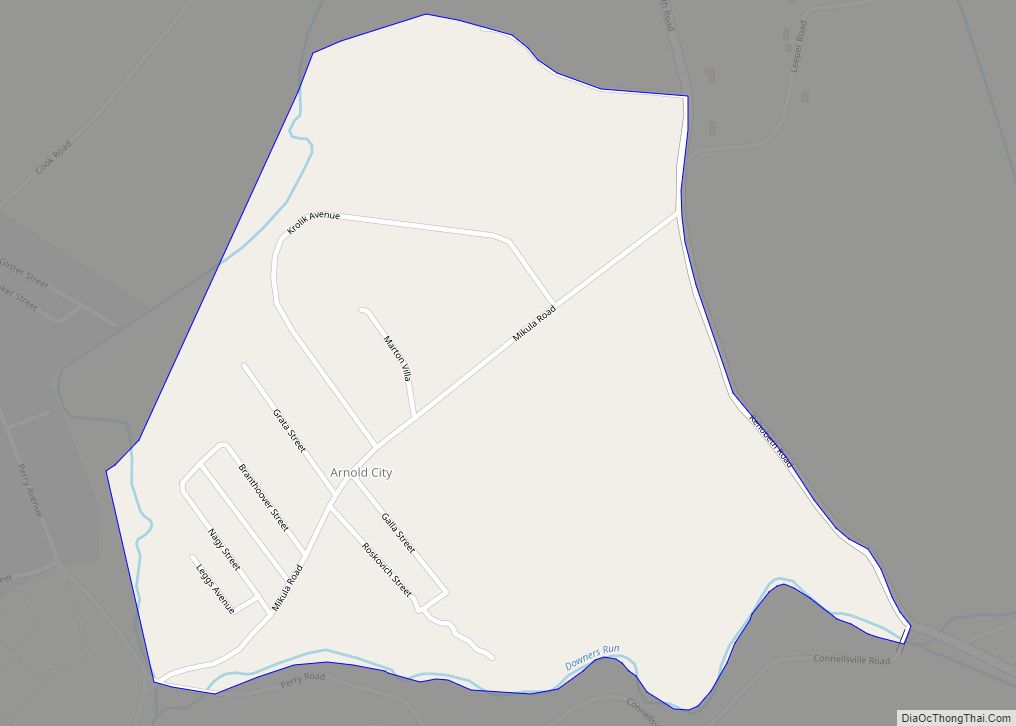
Arnold City Road Map
Arnold City city Satellite Map
See also
Map of Pennsylvania State and its subdivision:- Adams
- Allegheny
- Armstrong
- Beaver
- Bedford
- Berks
- Blair
- Bradford
- Bucks
- Butler
- Cambria
- Cameron
- Carbon
- Centre
- Chester
- Clarion
- Clearfield
- Clinton
- Columbia
- Crawford
- Cumberland
- Dauphin
- Delaware
- Elk
- Erie
- Fayette
- Forest
- Franklin
- Fulton
- Greene
- Huntingdon
- Indiana
- Jefferson
- Juniata
- Lackawanna
- Lancaster
- Lawrence
- Lebanon
- Lehigh
- Luzerne
- Lycoming
- Mc Kean
- Mercer
- Mifflin
- Monroe
- Montgomery
- Montour
- Northampton
- Northumberland
- Perry
- Philadelphia
- Pike
- Potter
- Schuylkill
- Snyder
- Somerset
- Sullivan
- Susquehanna
- Tioga
- Union
- Venango
- Warren
- Washington
- Wayne
- Westmoreland
- Wyoming
- York
- Alabama
- Alaska
- Arizona
- Arkansas
- California
- Colorado
- Connecticut
- Delaware
- District of Columbia
- Florida
- Georgia
- Hawaii
- Idaho
- Illinois
- Indiana
- Iowa
- Kansas
- Kentucky
- Louisiana
- Maine
- Maryland
- Massachusetts
- Michigan
- Minnesota
- Mississippi
- Missouri
- Montana
- Nebraska
- Nevada
- New Hampshire
- New Jersey
- New Mexico
- New York
- North Carolina
- North Dakota
- Ohio
- Oklahoma
- Oregon
- Pennsylvania
- Rhode Island
- South Carolina
- South Dakota
- Tennessee
- Texas
- Utah
- Vermont
- Virginia
- Washington
- West Virginia
- Wisconsin
- Wyoming


