Aspinwall is a borough on the Allegheny River in Allegheny County, Pennsylvania, United States. It is part of the Greater Pittsburgh metropolitan area. In 1900, 1,231 people lived in Aspinwall, and that number rose to 2,592 in 1910, and 3,170 by 1920. The population was 2,916 at the 2020 census.
| Name: | Aspinwall borough |
|---|---|
| LSAD Code: | 21 |
| LSAD Description: | borough (suffix) |
| State: | Pennsylvania |
| County: | Allegheny County |
| Incorporated: | December 28, 1892 |
| Elevation: | 758 ft (231 m) |
| Total Area: | 0.39 sq mi (1.00 km²) |
| Land Area: | 0.35 sq mi (0.91 km²) |
| Water Area: | 0.04 sq mi (0.09 km²) |
| Total Population: | 2,916 |
| Population Density: | 8,307.69/sq mi (3,209.21/km²) |
| ZIP code: | 15215 |
| FIPS code: | 4203320 |
| Website: | http://www.aspinwallpa.com |
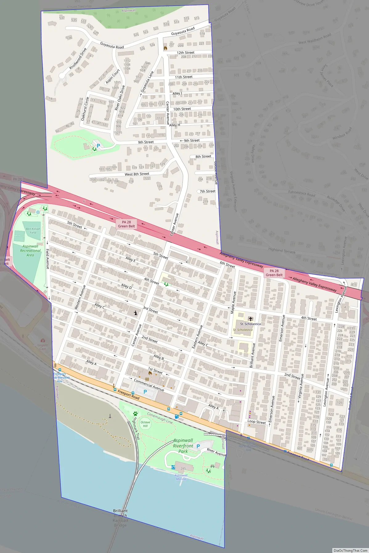
Online Interactive Map
Click on ![]() to view map in "full screen" mode.
to view map in "full screen" mode.
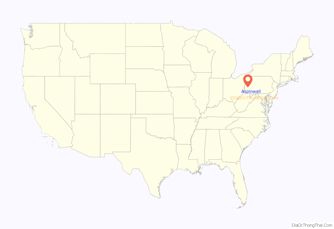
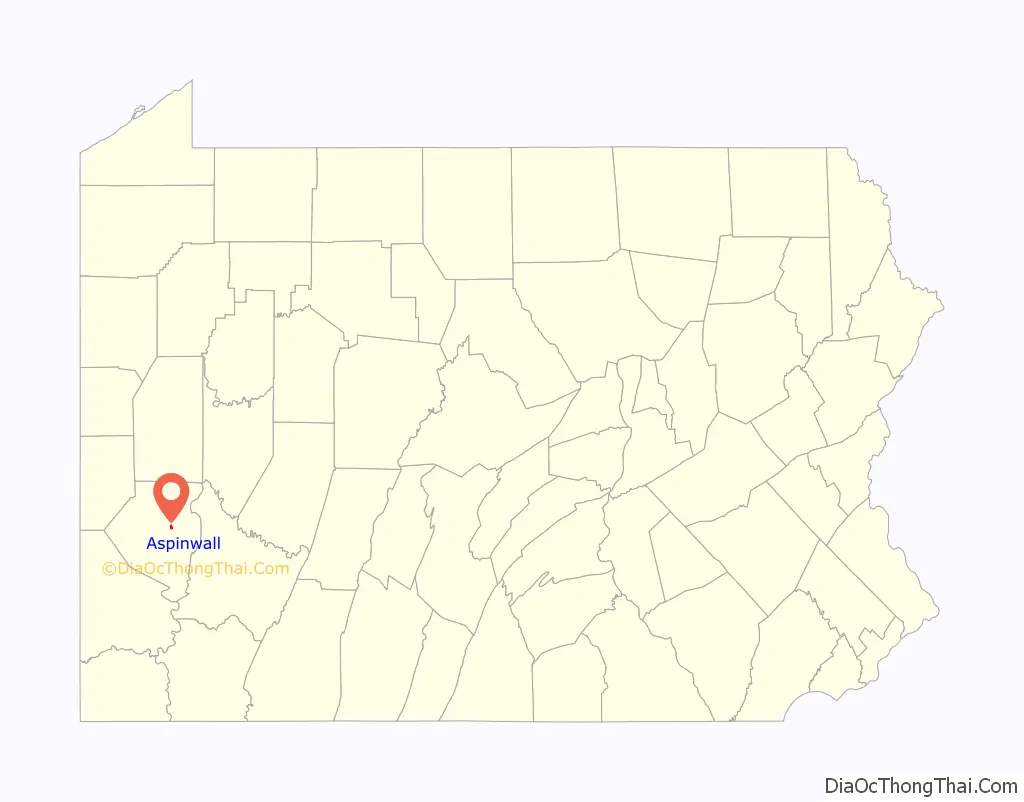
Aspinwall location map. Where is Aspinwall borough?
History
In the mid-1880s, the area which is now Aspinwall was primarily owned by the descendants of James Ross, but as the steel industry was thriving in Pittsburgh, Henry Warner, superintendent of the Allegheny County Workhouse, had the idea of creating a residential community along the bank of a river.
Warner traveled to New York to discuss the idea with Annie Aspinwall. He purchased 155 acres (0.63 km) of land from her and formed the Aspinwall Land Company in 1890. Pittsburghers, mostly from the upper-middle class, purchased lots from the 60 available home sites. By 1890, the town had 400 residents, most of whom were young couples with children. The existing government of O’Hara Township was having difficulty providing services to the rapidly growing area and, in 1892, 40 residents of the new community signed a petition requesting incorporation as “The Borough of Aspinwall, a self-governing unit.”
Aspinwall was officially incorporated as a borough on December 28, 1892, from O’Hara Township.
Aspinwall was served by Pittsburgh Railways streetcar service 94 Aspinwall from c.1910 until November 12, 1960, when the service was discontinued on the closure of the 62nd Street Sharpsburg Bridge. This was replaced by the Senator Robert D. Fleming Bridge which did not have streetcar tracks.
From 1893 to 1905, Aspinwall developed in three phases, beginning with the area closest to the Allegheny River. On September 25, 1905, a group of Aspinwall residents purchased 200 acres (0.81 km) from the Delafield Plan and annexed this additional land to the borough.
Early recreational facilities in the borough included tennis courts and water fountains. During World War I, the Patriots Committee of Aspinwall purchased wristwatches from a watch factory in Canton, Ohio, which they presented to the approximately 164 Aspinwall men entering the service. Aspinwall held their own victory parade and memorial service for the soldiers of their borough.
Aspinwall Road Map
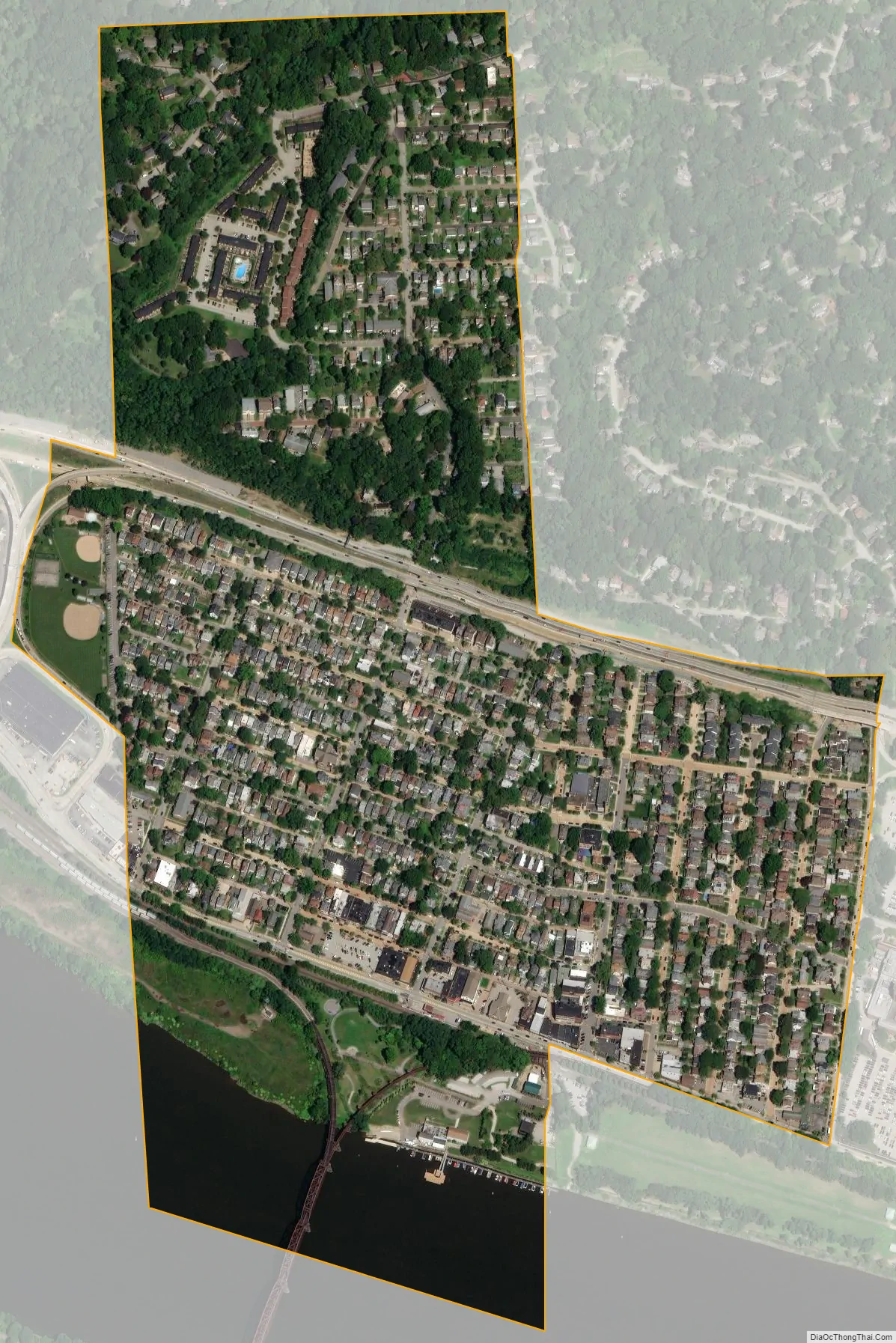
Aspinwall city Satellite Map
Geography
Aspinwall is located at 40°29′35″N 79°54′11″W / 40.49306°N 79.90306°W / 40.49306; -79.90306. According to the U.S. Census Bureau, the borough has a total area of 0.4 square miles (1.0 km), of which 0.3 square miles (0.78 km) is land and 0.04 square miles (0.10 km) is water. Its average elevation is 758 feet (231 m) above sea level.
See also
Map of Pennsylvania State and its subdivision:- Adams
- Allegheny
- Armstrong
- Beaver
- Bedford
- Berks
- Blair
- Bradford
- Bucks
- Butler
- Cambria
- Cameron
- Carbon
- Centre
- Chester
- Clarion
- Clearfield
- Clinton
- Columbia
- Crawford
- Cumberland
- Dauphin
- Delaware
- Elk
- Erie
- Fayette
- Forest
- Franklin
- Fulton
- Greene
- Huntingdon
- Indiana
- Jefferson
- Juniata
- Lackawanna
- Lancaster
- Lawrence
- Lebanon
- Lehigh
- Luzerne
- Lycoming
- Mc Kean
- Mercer
- Mifflin
- Monroe
- Montgomery
- Montour
- Northampton
- Northumberland
- Perry
- Philadelphia
- Pike
- Potter
- Schuylkill
- Snyder
- Somerset
- Sullivan
- Susquehanna
- Tioga
- Union
- Venango
- Warren
- Washington
- Wayne
- Westmoreland
- Wyoming
- York
- Alabama
- Alaska
- Arizona
- Arkansas
- California
- Colorado
- Connecticut
- Delaware
- District of Columbia
- Florida
- Georgia
- Hawaii
- Idaho
- Illinois
- Indiana
- Iowa
- Kansas
- Kentucky
- Louisiana
- Maine
- Maryland
- Massachusetts
- Michigan
- Minnesota
- Mississippi
- Missouri
- Montana
- Nebraska
- Nevada
- New Hampshire
- New Jersey
- New Mexico
- New York
- North Carolina
- North Dakota
- Ohio
- Oklahoma
- Oregon
- Pennsylvania
- Rhode Island
- South Carolina
- South Dakota
- Tennessee
- Texas
- Utah
- Vermont
- Virginia
- Washington
- West Virginia
- Wisconsin
- Wyoming


