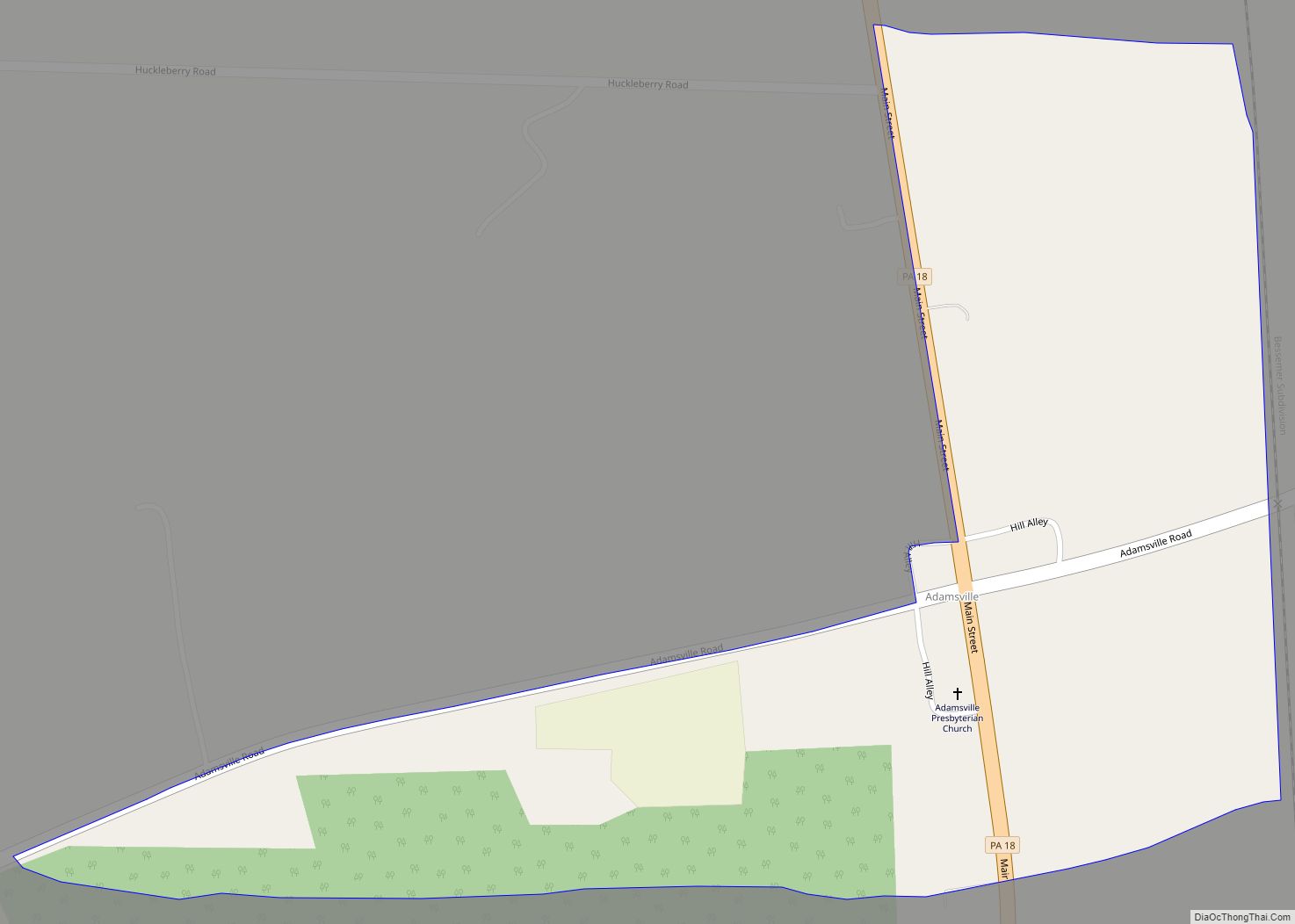
Atlantic is a census-designated place (CDP) in Crawford County, Pennsylvania, United States. The population was 77 at the 2010 census, up from 43 in 2000.
| Name: | Atlantic CDP |
|---|---|
| LSAD Code: | 57 |
| LSAD Description: | CDP (suffix) |
| State: | Pennsylvania |
| County: | Crawford County |
| Elevation: | 1,147 ft (350 m) |
| Total Area: | 0.16 sq mi (0.41 km²) |
| Land Area: | 0.16 sq mi (0.41 km²) |
| Water Area: | 0.00 sq mi (0.00 km²) |
| Total Population: | 113 |
| Population Density: | 719.75/sq mi (278.60/km²) |
| ZIP code: | 16111 |
| Area code: | 814 |
| FIPS code: | 4203440 |
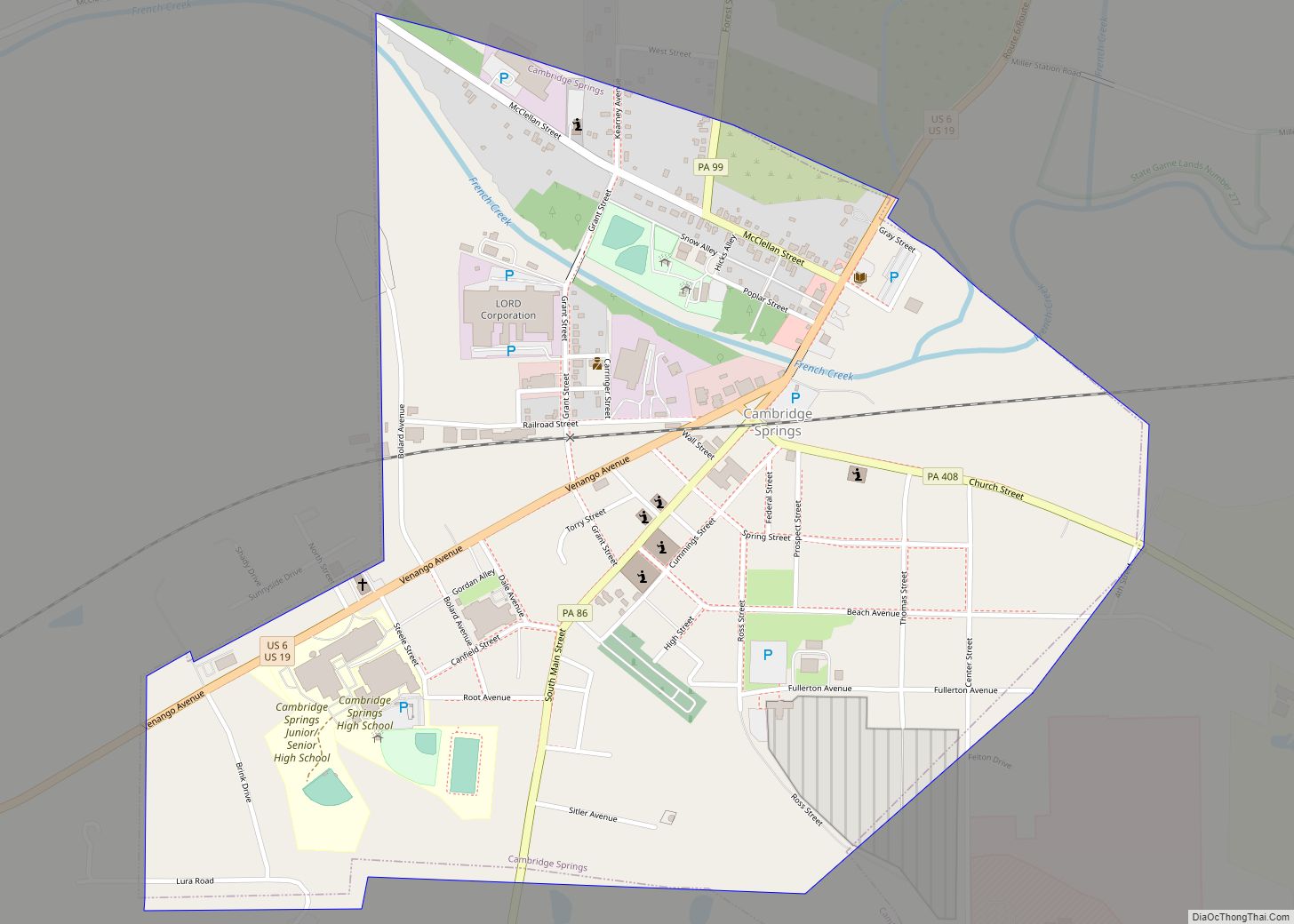
Online Interactive Map
Click on ![]() to view map in "full screen" mode.
to view map in "full screen" mode.
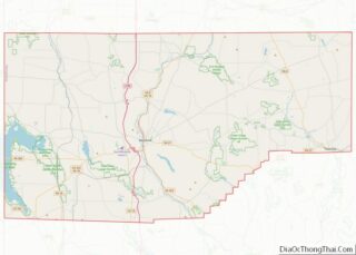
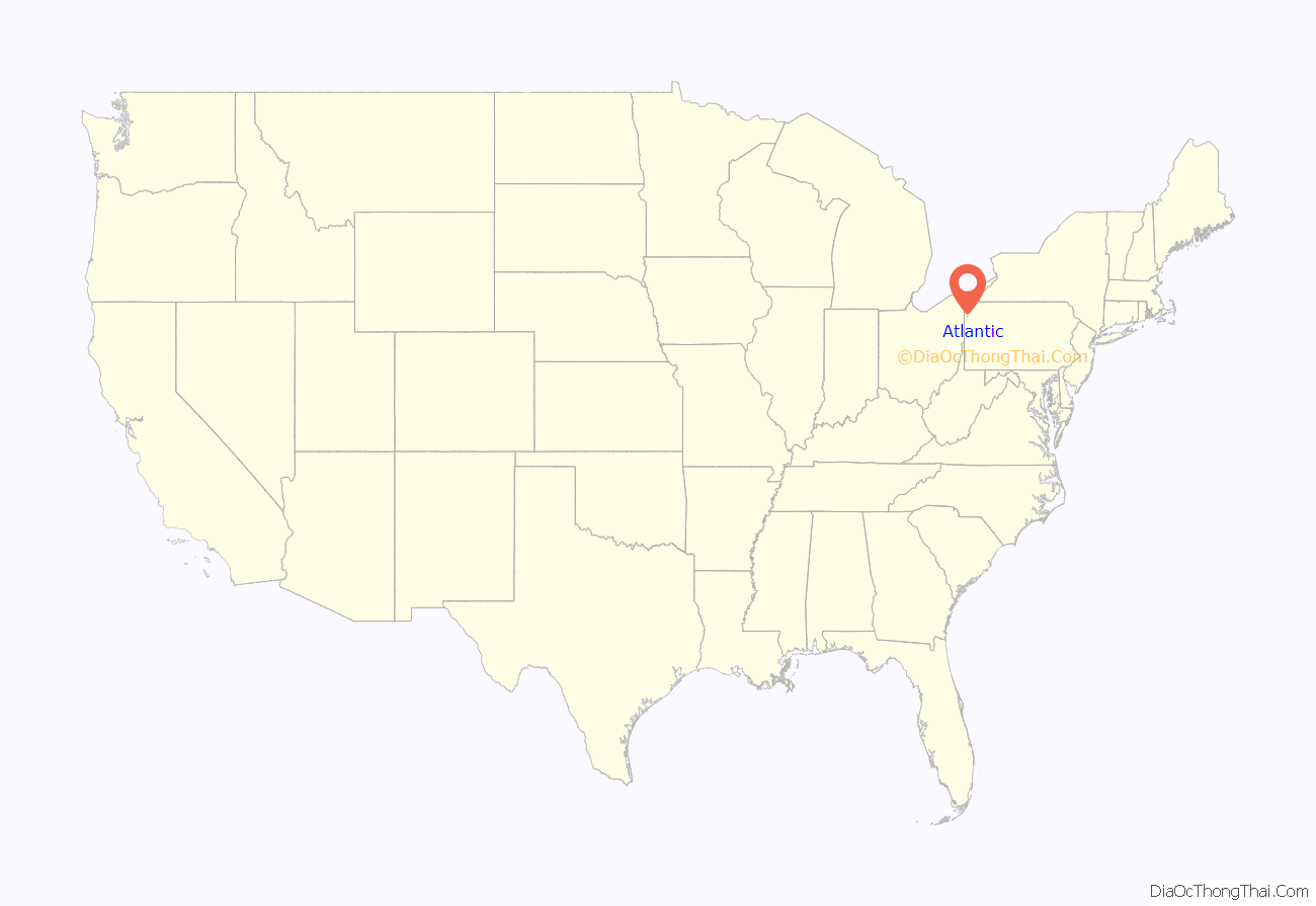
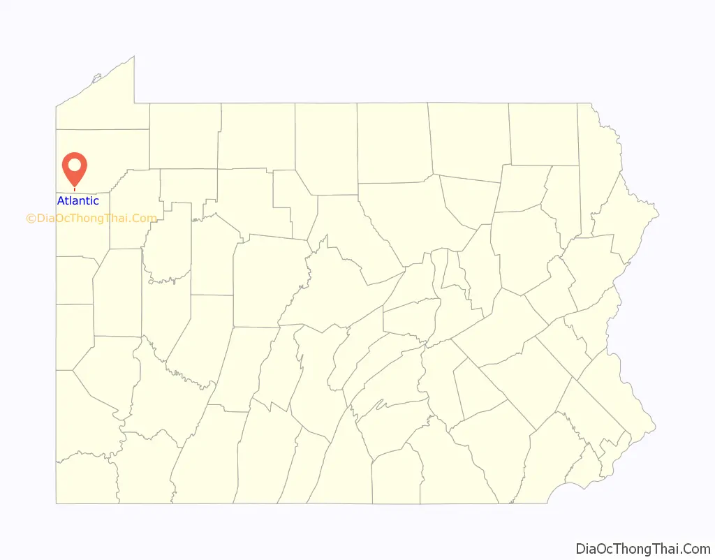
Atlantic location map. Where is Atlantic CDP?
History
The Bridge in East Fallowfield Township was listed on the National Register of Historic Places in 1988. On May 31, 1985, Atlantic was partially destroyed by an F4 tornado, 23 people were killed.
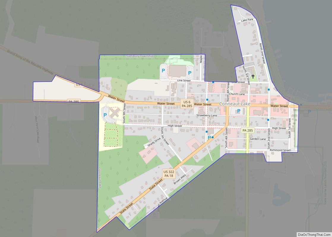
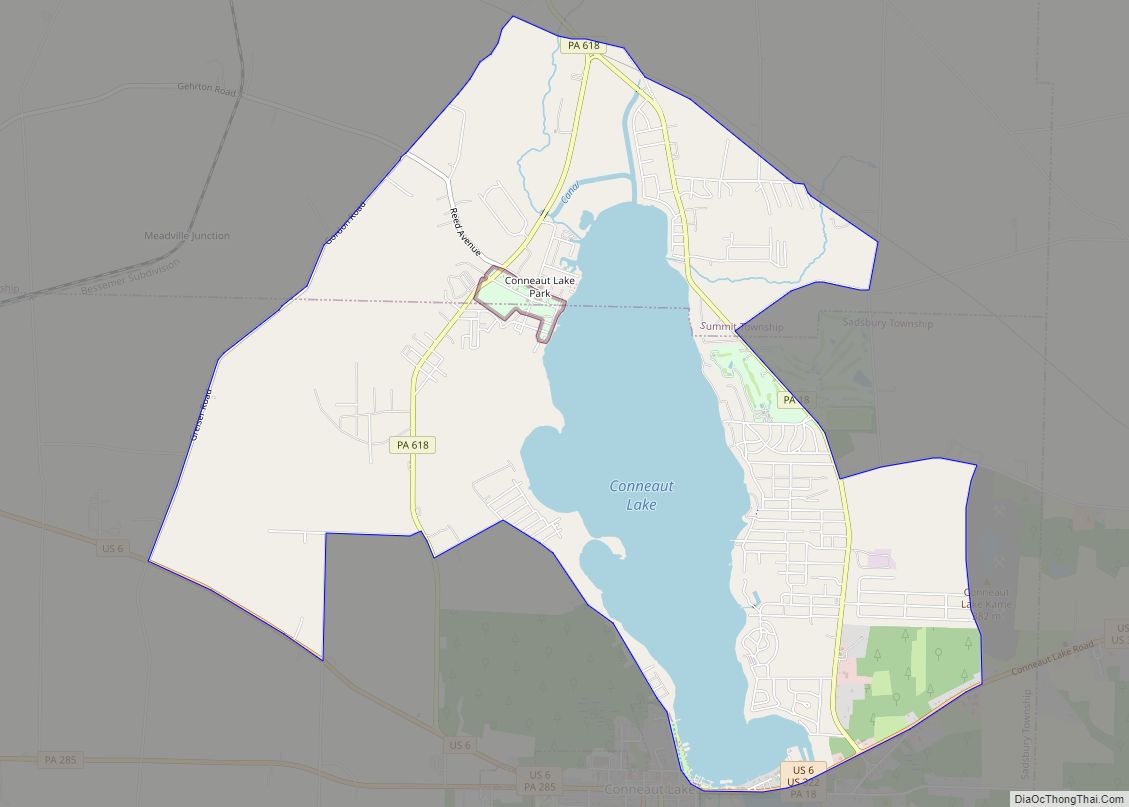
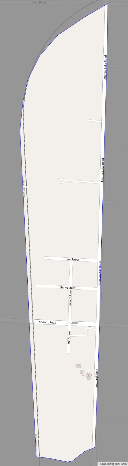
Atlantic Road Map
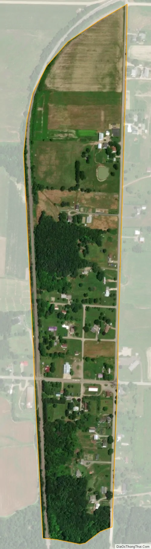
Atlantic city Satellite Map
Geography
Atlantic is located in southwestern Crawford County at 41°30′22″N 80°20′18″W / 41.50611°N 80.33833°W / 41.50611; -80.33833 (41.506012, -80.338452), in the southwestern part of East Fallowfield Township.
According to the United States Census Bureau, the CDP has a total area of 0.15 square miles (0.38 km), all land.
See also
Map of Pennsylvania State and its subdivision:- Adams
- Allegheny
- Armstrong
- Beaver
- Bedford
- Berks
- Blair
- Bradford
- Bucks
- Butler
- Cambria
- Cameron
- Carbon
- Centre
- Chester
- Clarion
- Clearfield
- Clinton
- Columbia
- Crawford
- Cumberland
- Dauphin
- Delaware
- Elk
- Erie
- Fayette
- Forest
- Franklin
- Fulton
- Greene
- Huntingdon
- Indiana
- Jefferson
- Juniata
- Lackawanna
- Lancaster
- Lawrence
- Lebanon
- Lehigh
- Luzerne
- Lycoming
- Mc Kean
- Mercer
- Mifflin
- Monroe
- Montgomery
- Montour
- Northampton
- Northumberland
- Perry
- Philadelphia
- Pike
- Potter
- Schuylkill
- Snyder
- Somerset
- Sullivan
- Susquehanna
- Tioga
- Union
- Venango
- Warren
- Washington
- Wayne
- Westmoreland
- Wyoming
- York
- Alabama
- Alaska
- Arizona
- Arkansas
- California
- Colorado
- Connecticut
- Delaware
- District of Columbia
- Florida
- Georgia
- Hawaii
- Idaho
- Illinois
- Indiana
- Iowa
- Kansas
- Kentucky
- Louisiana
- Maine
- Maryland
- Massachusetts
- Michigan
- Minnesota
- Mississippi
- Missouri
- Montana
- Nebraska
- Nevada
- New Hampshire
- New Jersey
- New Mexico
- New York
- North Carolina
- North Dakota
- Ohio
- Oklahoma
- Oregon
- Pennsylvania
- Rhode Island
- South Carolina
- South Dakota
- Tennessee
- Texas
- Utah
- Vermont
- Virginia
- Washington
- West Virginia
- Wisconsin
- Wyoming