Baldwin is a borough in Allegheny County, Pennsylvania, United States (not to be confused with adjacent Baldwin Township). Part of the Greater Pittsburgh metropolitan area, the borough’s population was 21,510 as of the 2020 census.
| Name: | Baldwin borough |
|---|---|
| LSAD Code: | 21 |
| LSAD Description: | borough (suffix) |
| State: | Pennsylvania |
| County: | Allegheny County |
| Incorporated: | October 27, 1950 |
| Elevation: | 1,214 ft (370 m) |
| Total Area: | 5.88 sq mi (15.22 km²) |
| Land Area: | 5.77 sq mi (14.94 km²) |
| Water Area: | 0.11 sq mi (0.28 km²) |
| Total Population: | 21,510 |
| Population Density: | 3,727.90/sq mi (1,439.41/km²) |
| ZIP code: | 15227 |
| Area code: | 412 |
| FIPS code: | 4203928 |
Online Interactive Map
Click on ![]() to view map in "full screen" mode.
to view map in "full screen" mode.
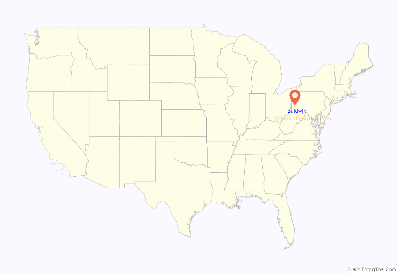
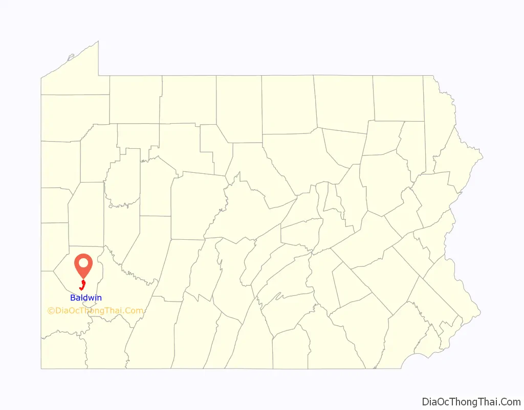
Baldwin location map. Where is Baldwin borough?
History
The borough was named for Henry Baldwin (1780–1844), a U.S. Congressman from Pennsylvania and Associate Justice of the Supreme Court. Baldwin Borough was incorporated on October 27, 1950, from Baldwin Township.
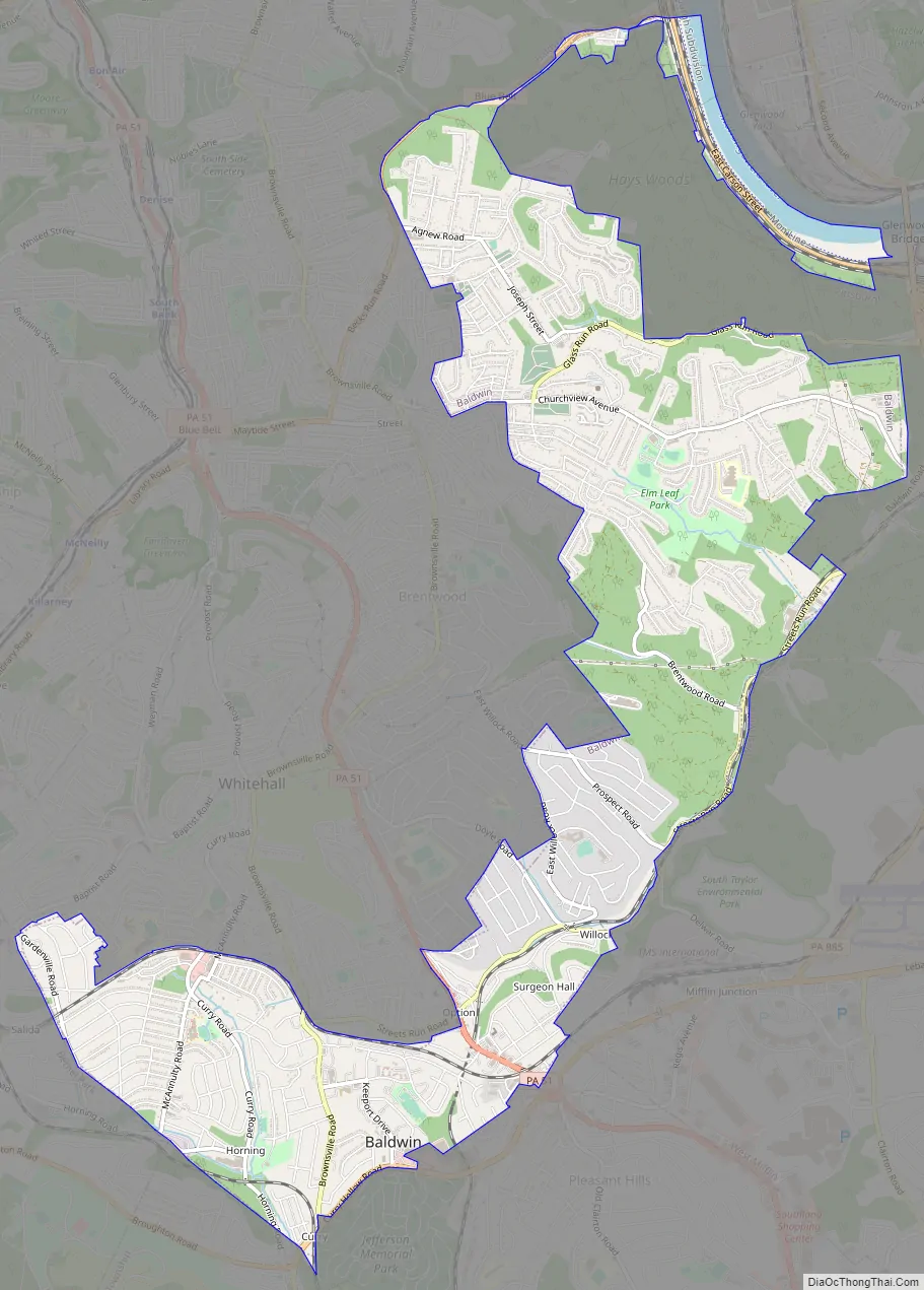
Baldwin Road Map
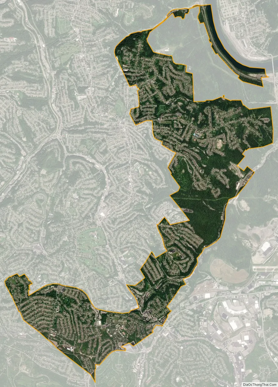
Baldwin city Satellite Map
Geography
Baldwin is located at 40°21′26″N 79°58′10″W / 40.35722°N 79.96944°W / 40.35722; -79.96944. A thin strip of land which is still part of Baldwin stretches north along Becks Run Road, separating St. Clair and Hays, reaching all the way to the Monongahela River. It then forms the south bank of the river almost to the Glenwood Bridge, effectively surrounding Hays on three sides.
According to the U.S. Census Bureau, the borough has a total area of 5.9 square miles (15 km), of which 5.8 square miles (15 km) is land and 0.1 square miles (0.26 km) is water. Its average elevation is 1,214 feet (370 m) above sea level.
See also
Map of Pennsylvania State and its subdivision:- Adams
- Allegheny
- Armstrong
- Beaver
- Bedford
- Berks
- Blair
- Bradford
- Bucks
- Butler
- Cambria
- Cameron
- Carbon
- Centre
- Chester
- Clarion
- Clearfield
- Clinton
- Columbia
- Crawford
- Cumberland
- Dauphin
- Delaware
- Elk
- Erie
- Fayette
- Forest
- Franklin
- Fulton
- Greene
- Huntingdon
- Indiana
- Jefferson
- Juniata
- Lackawanna
- Lancaster
- Lawrence
- Lebanon
- Lehigh
- Luzerne
- Lycoming
- Mc Kean
- Mercer
- Mifflin
- Monroe
- Montgomery
- Montour
- Northampton
- Northumberland
- Perry
- Philadelphia
- Pike
- Potter
- Schuylkill
- Snyder
- Somerset
- Sullivan
- Susquehanna
- Tioga
- Union
- Venango
- Warren
- Washington
- Wayne
- Westmoreland
- Wyoming
- York
- Alabama
- Alaska
- Arizona
- Arkansas
- California
- Colorado
- Connecticut
- Delaware
- District of Columbia
- Florida
- Georgia
- Hawaii
- Idaho
- Illinois
- Indiana
- Iowa
- Kansas
- Kentucky
- Louisiana
- Maine
- Maryland
- Massachusetts
- Michigan
- Minnesota
- Mississippi
- Missouri
- Montana
- Nebraska
- Nevada
- New Hampshire
- New Jersey
- New Mexico
- New York
- North Carolina
- North Dakota
- Ohio
- Oklahoma
- Oregon
- Pennsylvania
- Rhode Island
- South Carolina
- South Dakota
- Tennessee
- Texas
- Utah
- Vermont
- Virginia
- Washington
- West Virginia
- Wisconsin
- Wyoming


