Bell Acres is a borough in Allegheny County, Pennsylvania, United States, part of the Pittsburgh Metro Area. The population was 1,505 at the 2020 census.
| Name: | Bell Acres borough |
|---|---|
| LSAD Code: | 21 |
| LSAD Description: | borough (suffix) |
| State: | Pennsylvania |
| County: | Allegheny County |
| Incorporated: | March 14, 1960 |
| Elevation: | 965 ft (294 m) |
| Total Area: | 5.35 sq mi (13.86 km²) |
| Land Area: | 5.35 sq mi (13.86 km²) |
| Water Area: | 0.00 sq mi (0.00 km²) |
| Total Population: | 1,505 |
| Population Density: | 281.20/sq mi (108.58/km²) |
| ZIP code: | 15143 |
| Area code: | 412 |
| FIPS code: | 4205216 |
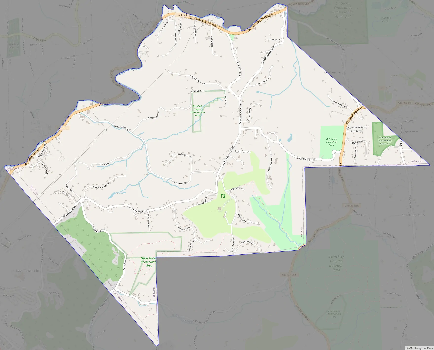
Online Interactive Map
Click on ![]() to view map in "full screen" mode.
to view map in "full screen" mode.
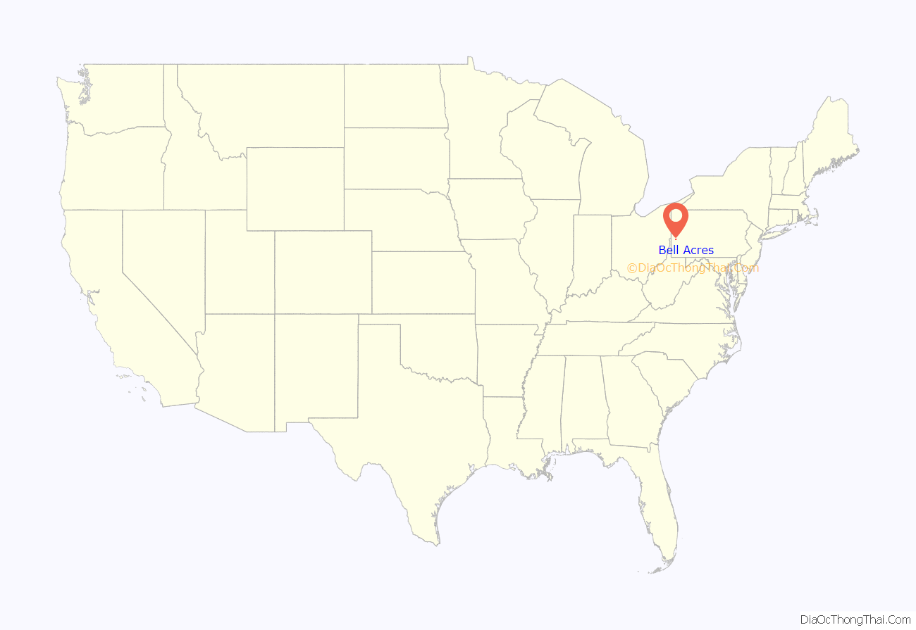
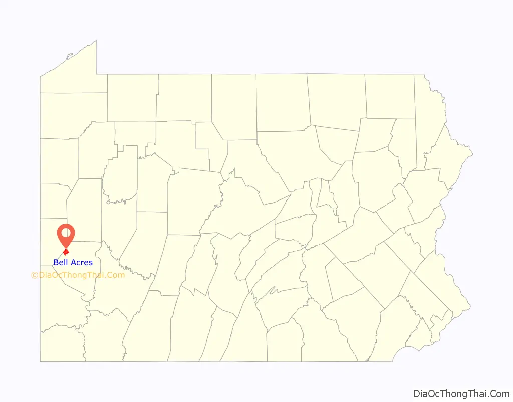
Bell Acres location map. Where is Bell Acres borough?
History
Bell Acres was settled circa 1808. The area was originally established as Sewickley Township on June 28, 1854. Bell Acres was incorporated as its own borough on March 14, 1960. The community was named after Bell Farms.
Bell Acres Road Map
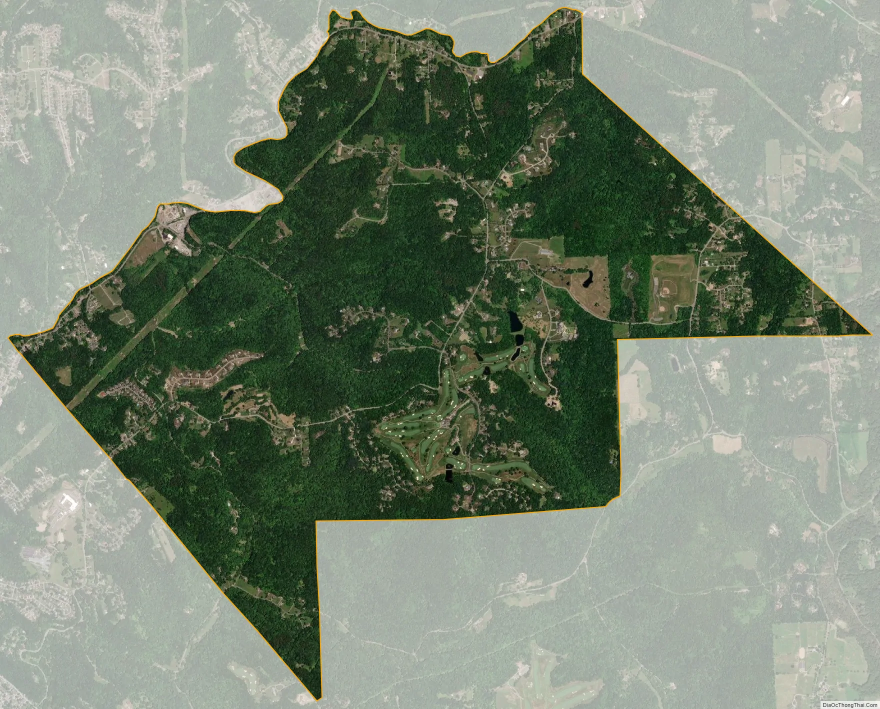
Bell Acres city Satellite Map
Geography
Bell Acres is located at 40°35′32″N 80°10′34″W / 40.59222°N 80.17611°W / 40.59222; -80.17611.
According to the United States Census Bureau, the borough has a total area of 5.2 square miles (13 km), all land. Its average elevation is 965 feet (294 m) above sea level.
See also
Map of Pennsylvania State and its subdivision:- Adams
- Allegheny
- Armstrong
- Beaver
- Bedford
- Berks
- Blair
- Bradford
- Bucks
- Butler
- Cambria
- Cameron
- Carbon
- Centre
- Chester
- Clarion
- Clearfield
- Clinton
- Columbia
- Crawford
- Cumberland
- Dauphin
- Delaware
- Elk
- Erie
- Fayette
- Forest
- Franklin
- Fulton
- Greene
- Huntingdon
- Indiana
- Jefferson
- Juniata
- Lackawanna
- Lancaster
- Lawrence
- Lebanon
- Lehigh
- Luzerne
- Lycoming
- Mc Kean
- Mercer
- Mifflin
- Monroe
- Montgomery
- Montour
- Northampton
- Northumberland
- Perry
- Philadelphia
- Pike
- Potter
- Schuylkill
- Snyder
- Somerset
- Sullivan
- Susquehanna
- Tioga
- Union
- Venango
- Warren
- Washington
- Wayne
- Westmoreland
- Wyoming
- York
- Alabama
- Alaska
- Arizona
- Arkansas
- California
- Colorado
- Connecticut
- Delaware
- District of Columbia
- Florida
- Georgia
- Hawaii
- Idaho
- Illinois
- Indiana
- Iowa
- Kansas
- Kentucky
- Louisiana
- Maine
- Maryland
- Massachusetts
- Michigan
- Minnesota
- Mississippi
- Missouri
- Montana
- Nebraska
- Nevada
- New Hampshire
- New Jersey
- New Mexico
- New York
- North Carolina
- North Dakota
- Ohio
- Oklahoma
- Oregon
- Pennsylvania
- Rhode Island
- South Carolina
- South Dakota
- Tennessee
- Texas
- Utah
- Vermont
- Virginia
- Washington
- West Virginia
- Wisconsin
- Wyoming


