Bellevue is a borough in Allegheny County, Pennsylvania, United States, along the Ohio River, adjoining Pittsburgh. The population was 8,311 at the 2020 census. The borough was incorporated in 1867. There is a public park and library, the Andrew Bayne Memorial Library.
| Name: | Bellevue borough |
|---|---|
| LSAD Code: | 21 |
| LSAD Description: | borough (suffix) |
| State: | Pennsylvania |
| County: | Allegheny County |
| Incorporated: | September 7, 1867 (156 years ago) |
| Elevation: | 997 ft (304 m) |
| Total Area: | 1.12 sq mi (2.91 km²) |
| Land Area: | 1.01 sq mi (2.62 km²) |
| Water Area: | 0.11 sq mi (0.29 km²) |
| Total Population: | 8,311 |
| Population Density: | 8,228.71/sq mi (3,178.18/km²) |
| ZIP code: | 15202 |
| Area code: | 412 |
| FIPS code: | 4205312 |
| Website: | bellevuepa.org |
Online Interactive Map
Click on ![]() to view map in "full screen" mode.
to view map in "full screen" mode.
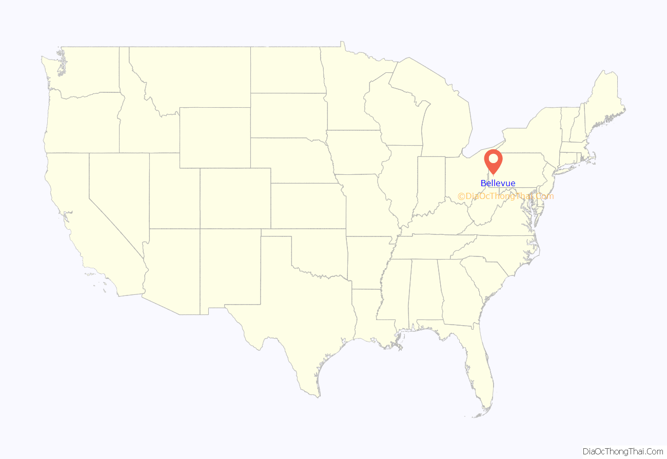
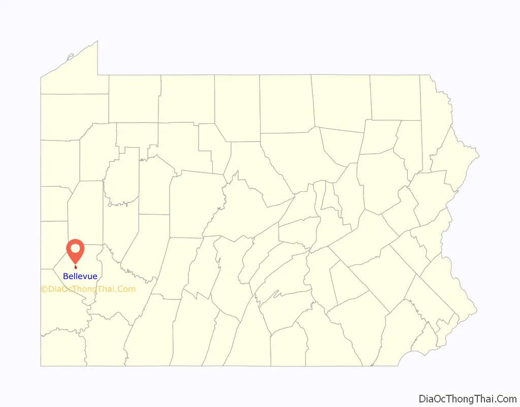
Bellevue location map. Where is Bellevue borough?
History
The land on which the borough currently sits was once part of the Depreciation Lands reserved for Revolutionary War veterans. The first landowners in the area were James Robinson and Hugh Henry Brackenridge, purchasing parcels in 1799 and 1792 respectively. At the time of its organization as a borough, Bellevue had exactly the minimum population for such a designation: 300 residents.
Residents of the area tried unsuccessfully to obtain improvements from Ross Township, but officials were opposed to development along Venango Trail (today Route 19). In response, Bellevue was incorporated as a borough independent of Ross on September 7, 1867. The name of the borough was chosen by J. J. East, a linguist and early resident of the borough, and means “beautiful view.”
“Dry” status
Bellevue was always a “dry” town, even before Prohibition, meaning that the sale of alcohol in stores or restaurants was restricted. Sale of alcohol is currently regulated by the Pennsylvania Liquor Control Board (PLCB). The borough’s 2011 primary election included a referendum to permit limited alcohol sales at certain establishments; the proposal was defeated. A similar proposal in 2015 passed.
Architecture
Bellevue contains over 1,000 buildings over 100 years old. In 2016, to recognize 150 years since the borough’s founding, Bellevue’s Community Development Corporation (CDC), Bona Fide Bellevue, launched a historic building plaque program, consisting of inventorying all the buildings in Bellevue. Of over 2,600 buildings, just over 730 had been approved locally “historic.” Over 150 property owners voluntarily elected to purchase a plaque signifying the historic nature of their buildings.
Three buildings have been further recognized as historic:
- Andrew Bayne House – 34 North Balph Avenue – built 1875. Andrew Bayne Public Library. Recognized by Pittsburgh History Landmarks Foundation (PHLF).
- Andrew S. and Elizabeth Miller House – 366 Lincoln Avenue – built 1902. Currently a restaurant. Added to the National Register of Historic Places in 2019 and recognized by PHLF.
- Marius Rousseau House – 100 Watkins Avenue – built 1906. Private residence. Recognized by PHLF.
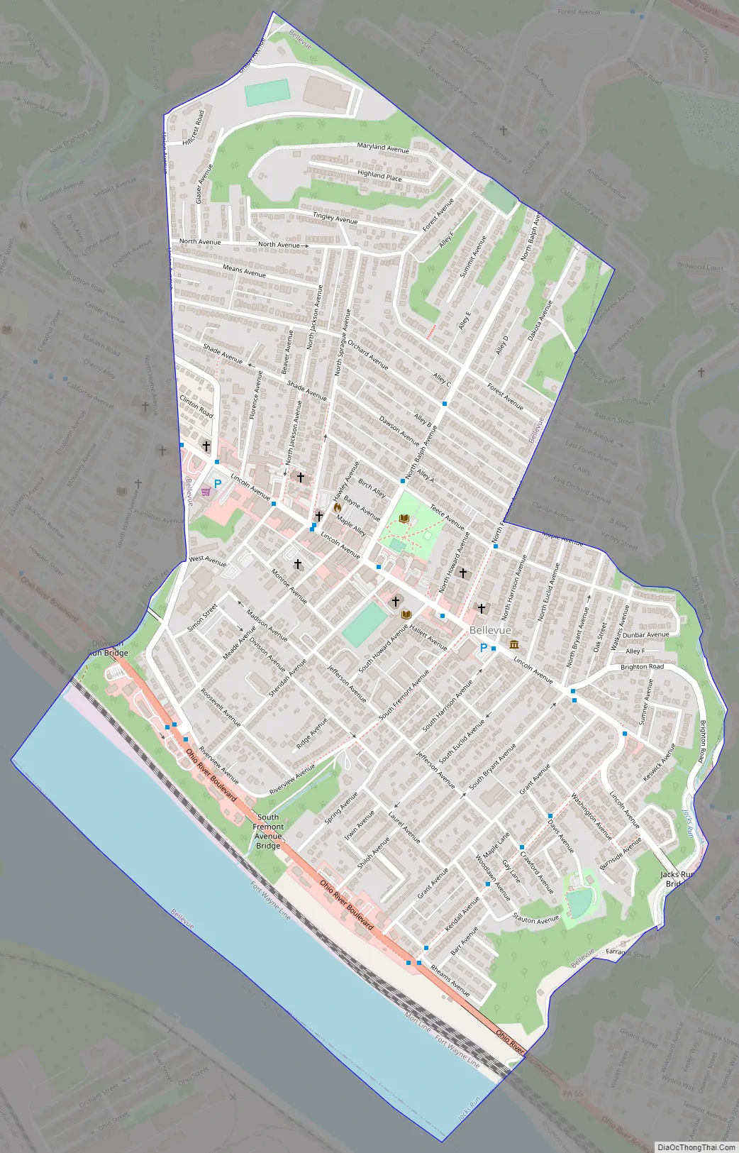
Bellevue Road Map
Bellevue city Satellite Map
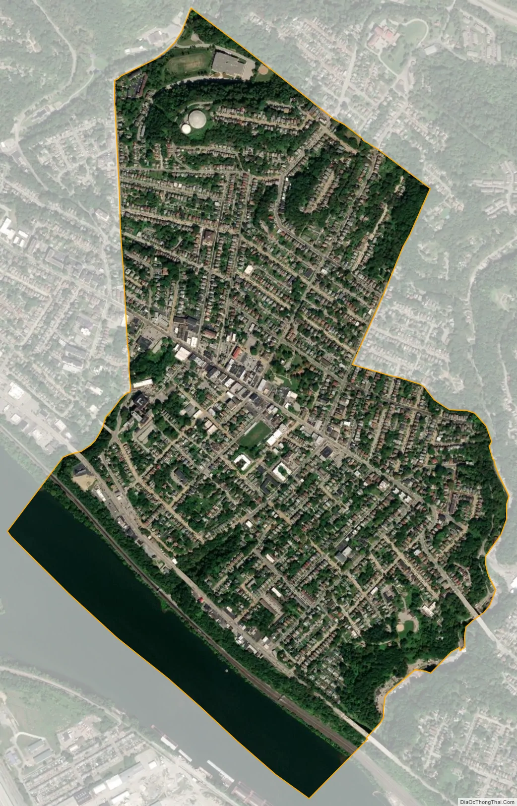
Geography
Bellevue is located at 40°29′38″N 80°3′13″W / 40.49389°N 80.05361°W / 40.49389; -80.05361.
According to the United States Census Bureau, the borough has a total area of 1.1 square miles (2.8 km), of which 1.0 square mile (2.6 km) is land and 0.1 square miles (0.26 km), or 9.09%, is water. Its average elevation is 997 feet (304 m) above sea level.
See also
Map of Pennsylvania State and its subdivision:- Adams
- Allegheny
- Armstrong
- Beaver
- Bedford
- Berks
- Blair
- Bradford
- Bucks
- Butler
- Cambria
- Cameron
- Carbon
- Centre
- Chester
- Clarion
- Clearfield
- Clinton
- Columbia
- Crawford
- Cumberland
- Dauphin
- Delaware
- Elk
- Erie
- Fayette
- Forest
- Franklin
- Fulton
- Greene
- Huntingdon
- Indiana
- Jefferson
- Juniata
- Lackawanna
- Lancaster
- Lawrence
- Lebanon
- Lehigh
- Luzerne
- Lycoming
- Mc Kean
- Mercer
- Mifflin
- Monroe
- Montgomery
- Montour
- Northampton
- Northumberland
- Perry
- Philadelphia
- Pike
- Potter
- Schuylkill
- Snyder
- Somerset
- Sullivan
- Susquehanna
- Tioga
- Union
- Venango
- Warren
- Washington
- Wayne
- Westmoreland
- Wyoming
- York
- Alabama
- Alaska
- Arizona
- Arkansas
- California
- Colorado
- Connecticut
- Delaware
- District of Columbia
- Florida
- Georgia
- Hawaii
- Idaho
- Illinois
- Indiana
- Iowa
- Kansas
- Kentucky
- Louisiana
- Maine
- Maryland
- Massachusetts
- Michigan
- Minnesota
- Mississippi
- Missouri
- Montana
- Nebraska
- Nevada
- New Hampshire
- New Jersey
- New Mexico
- New York
- North Carolina
- North Dakota
- Ohio
- Oklahoma
- Oregon
- Pennsylvania
- Rhode Island
- South Carolina
- South Dakota
- Tennessee
- Texas
- Utah
- Vermont
- Virginia
- Washington
- West Virginia
- Wisconsin
- Wyoming


