Ben Avon is a borough in Allegheny County, Pennsylvania, United States, along the Ohio River. The population was 1,918 at the 2020 census. It is part of the Pittsburgh Metropolitan Area.
The name, Ben Avon, comes from Scottish for “hill of the waters”.
| Name: | Ben Avon borough |
|---|---|
| LSAD Code: | 21 |
| LSAD Description: | borough (suffix) |
| State: | Pennsylvania |
| County: | Allegheny County |
| Incorporated: | January 1891 |
| Elevation: | 928 ft (283 m) |
| Total Area: | 0.46 sq mi (1.19 km²) |
| Land Area: | 0.38 sq mi (0.98 km²) |
| Water Area: | 0.08 sq mi (0.20 km²) |
| Total Population: | 1,918 |
| Population Density: | 5,060.69/sq mi (1,953.73/km²) |
| ZIP code: | 15202 |
| Area code: | 412 |
| FIPS code: | 4205504 |
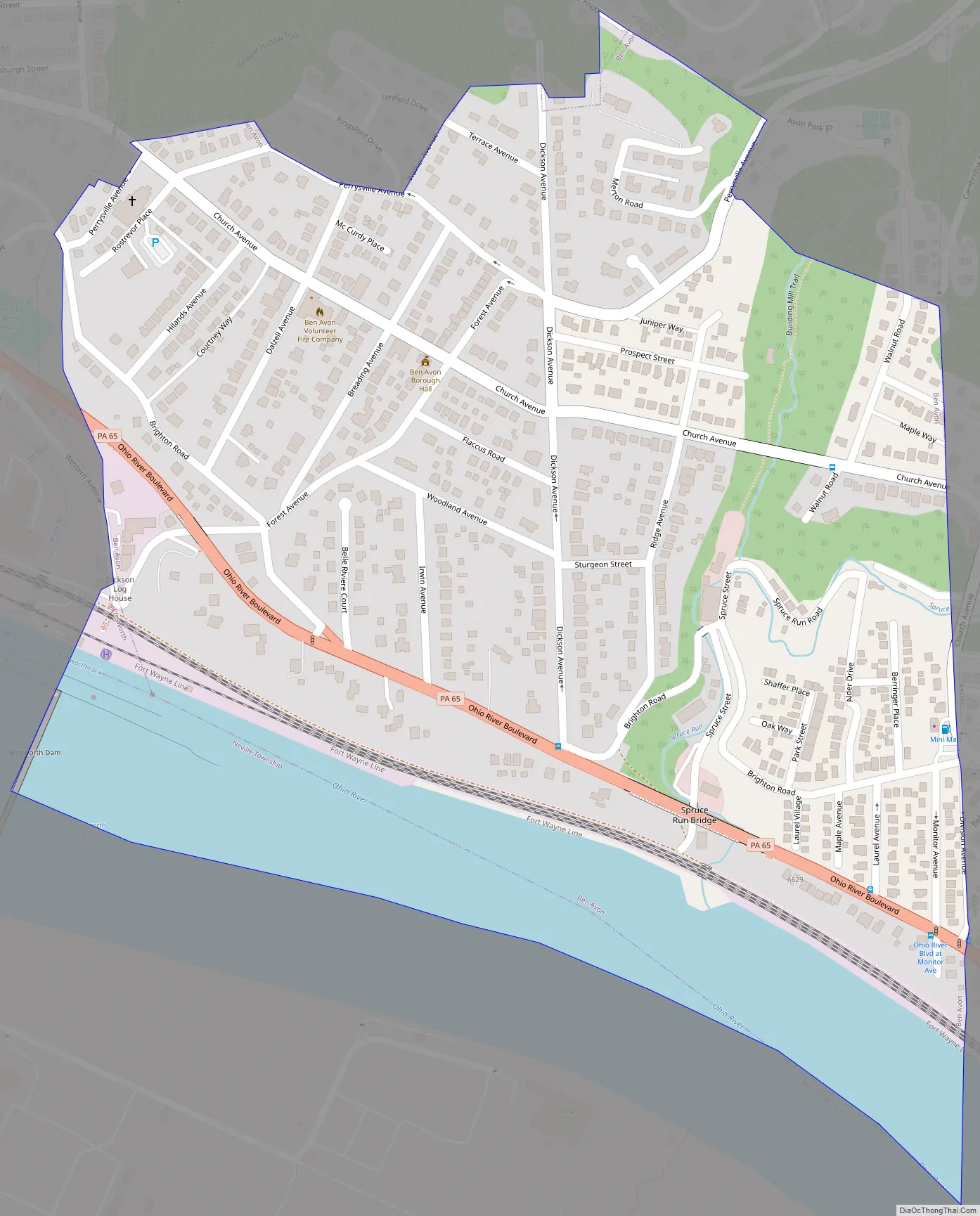
Online Interactive Map
Click on ![]() to view map in "full screen" mode.
to view map in "full screen" mode.
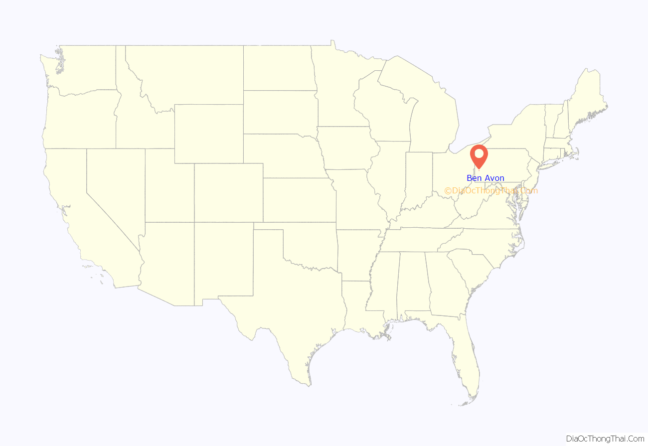
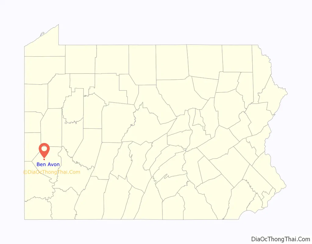
Ben Avon location map. Where is Ben Avon borough?
History
Ben Avon was incorporated as a borough in January 1891, from Kilbuck Township.
Like many early suburbs, Ben Avon was originally linked to Pittsburgh by train. One of the first homes in the area, the Arthur-Johnson House, was built at a bend in the Ohio River above the Pittsburgh and Fort Wayne Railroad, a route that was known to George Washington. The house was built by a merchant from Allegheny City looking for a summer retreat from the steel industry. To make the commute from Pittsburgh easier, a commuter railroad was built. Laurel Run station was located by the Arthur-Johnson House. The new railroad made Ben Avon and bordering Avalon a desirable place for wealthy merchants and executives to live. Ben Avon had its own newspaper, the Ben Avon Forum, which, in July 1930, wrote, “Ben Avon is the most desirable community to live in the entire Allegheny County – and if pressed, we might take an even larger territory.”
In 1928, plans were underway to build the Pittsburgh and Ohio River Boulevard (currently Ohio River Boulevard, along the northern bank of the Ohio River from Pittsburgh to the mouth of the Beaver River at Rochester, Pennsylvania). Residents feared that the new road would change their community. The wide, heavily traveled boulevard divided the community and made it difficult for pedestrians to get from one side of Ben Avon to the other. Additionally, by 1950, the train station at Laurel Run was closed.
Today, Ohio River Boulevard, outside of Ben Avon proper (there are no commercial properties along the boulevard in Ben Avon), is lined with commercial businesses, gas stations, thrift shops, and auto repair shops, but the houses and old railroad tracks from the early 20th century remain as reminders of the era when Ben Avon was a pleasant summer retreat from Pittsburgh’s steel industry.
Ben Avon Road Map
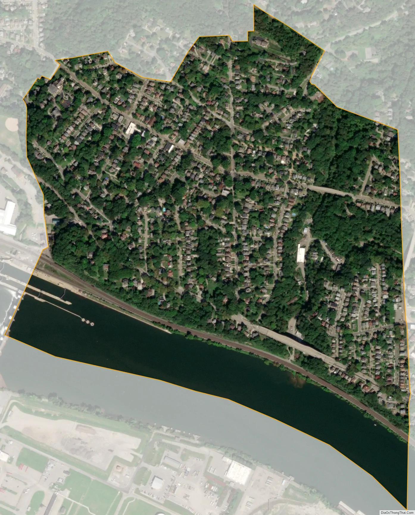
Ben Avon city Satellite Map
Geography
Ben Avon is located at 40°30′27″N 80°4′56″W / 40.50750°N 80.08222°W / 40.50750; -80.08222 (40.507418, -80.082162).
According to the United States Census Bureau, the borough has a total area of 0.5 square miles (1.3 km), of which 0.4 square miles (1.0 km) is land and 0.1 square miles (0.26 km) (14.89%) is water.
Its average elevation is 928 feet (283 m) above sea level.
See also
Map of Pennsylvania State and its subdivision:- Adams
- Allegheny
- Armstrong
- Beaver
- Bedford
- Berks
- Blair
- Bradford
- Bucks
- Butler
- Cambria
- Cameron
- Carbon
- Centre
- Chester
- Clarion
- Clearfield
- Clinton
- Columbia
- Crawford
- Cumberland
- Dauphin
- Delaware
- Elk
- Erie
- Fayette
- Forest
- Franklin
- Fulton
- Greene
- Huntingdon
- Indiana
- Jefferson
- Juniata
- Lackawanna
- Lancaster
- Lawrence
- Lebanon
- Lehigh
- Luzerne
- Lycoming
- Mc Kean
- Mercer
- Mifflin
- Monroe
- Montgomery
- Montour
- Northampton
- Northumberland
- Perry
- Philadelphia
- Pike
- Potter
- Schuylkill
- Snyder
- Somerset
- Sullivan
- Susquehanna
- Tioga
- Union
- Venango
- Warren
- Washington
- Wayne
- Westmoreland
- Wyoming
- York
- Alabama
- Alaska
- Arizona
- Arkansas
- California
- Colorado
- Connecticut
- Delaware
- District of Columbia
- Florida
- Georgia
- Hawaii
- Idaho
- Illinois
- Indiana
- Iowa
- Kansas
- Kentucky
- Louisiana
- Maine
- Maryland
- Massachusetts
- Michigan
- Minnesota
- Mississippi
- Missouri
- Montana
- Nebraska
- Nevada
- New Hampshire
- New Jersey
- New Mexico
- New York
- North Carolina
- North Dakota
- Ohio
- Oklahoma
- Oregon
- Pennsylvania
- Rhode Island
- South Carolina
- South Dakota
- Tennessee
- Texas
- Utah
- Vermont
- Virginia
- Washington
- West Virginia
- Wisconsin
- Wyoming


