Bentleyville is a borough in Washington County, Pennsylvania, United States and has been part of the Pittsburgh metropolitan area since 1950. The population was 2,349 at the 2020 census.
| Name: | Bentleyville borough |
|---|---|
| LSAD Code: | 21 |
| LSAD Description: | borough (suffix) |
| State: | Pennsylvania |
| County: | Washington County |
| Total Area: | 3.69 sq mi (9.57 km²) |
| Land Area: | 3.69 sq mi (9.57 km²) |
| Water Area: | 0.00 sq mi (0.00 km²) |
| Total Population: | 2,352 |
| Population Density: | 636.54/sq mi (245.75/km²) |
| FIPS code: | 4205672 |
| Website: | Town profile @ bentleyville.org |
Online Interactive Map
Click on ![]() to view map in "full screen" mode.
to view map in "full screen" mode.
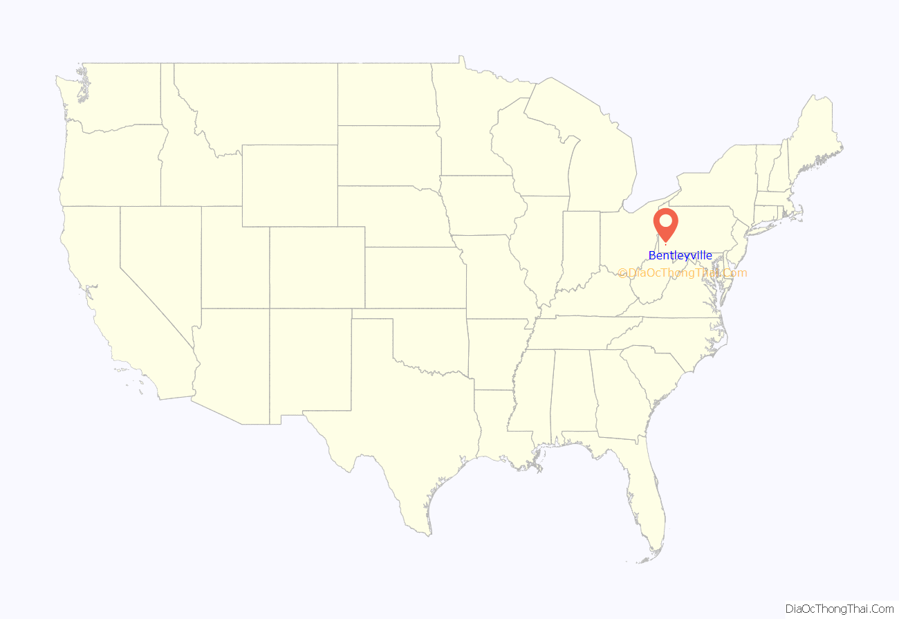
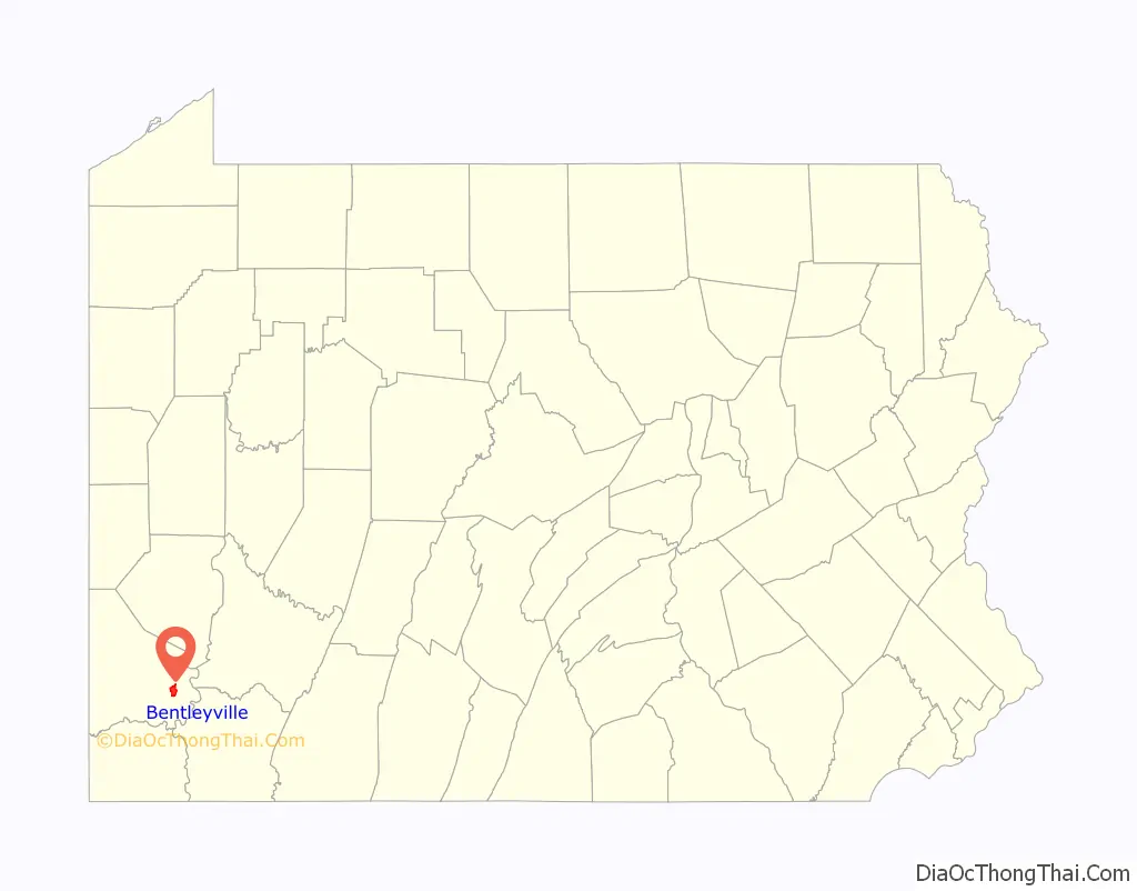
Bentleyville location map. Where is Bentleyville borough?
History
A post office called Bentleyville has been in operation since 1822. Bentleyville was named for Sheshbazzar Bentley Jr., a pioneer settler. The borough was incorporated in 1864.
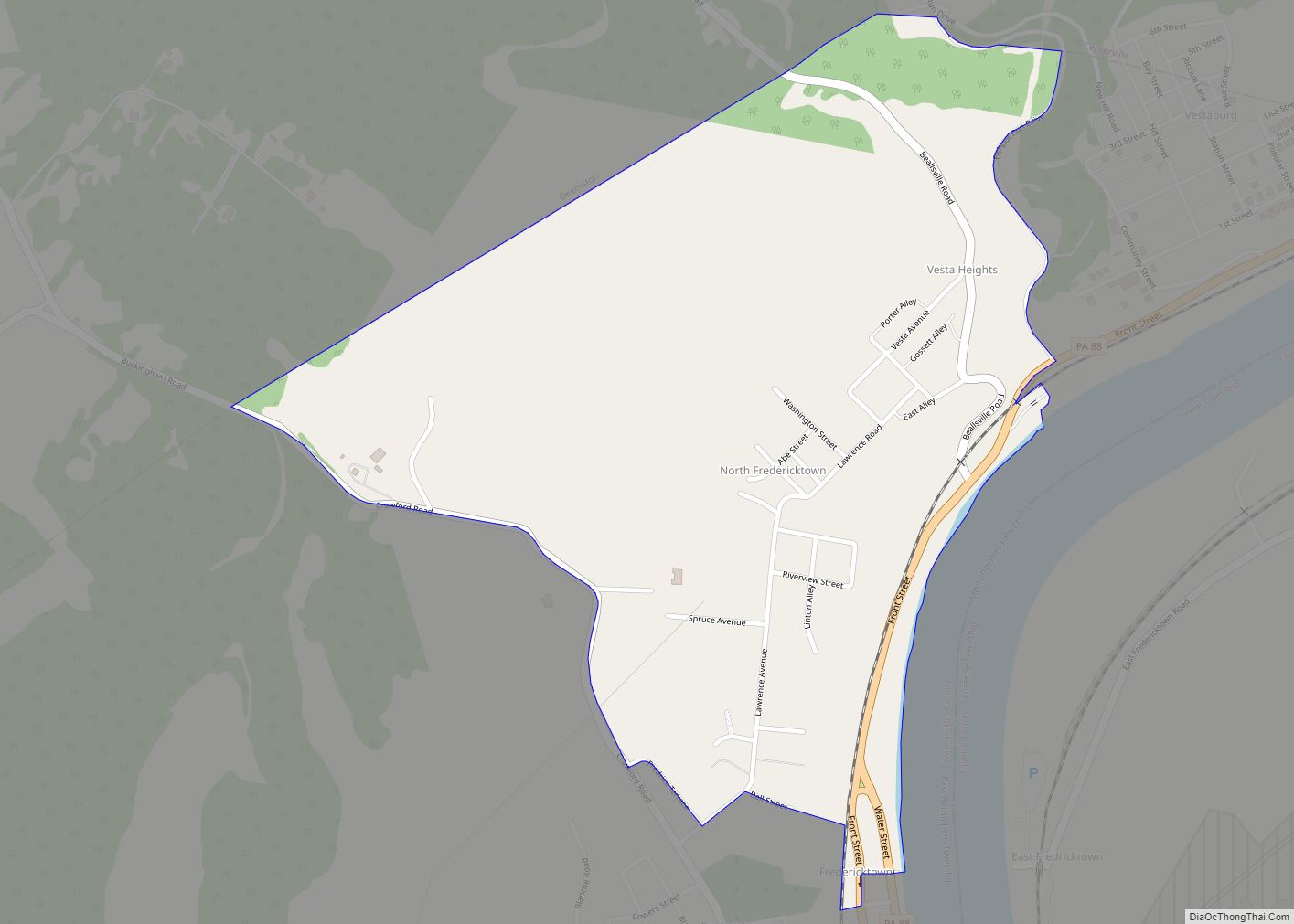
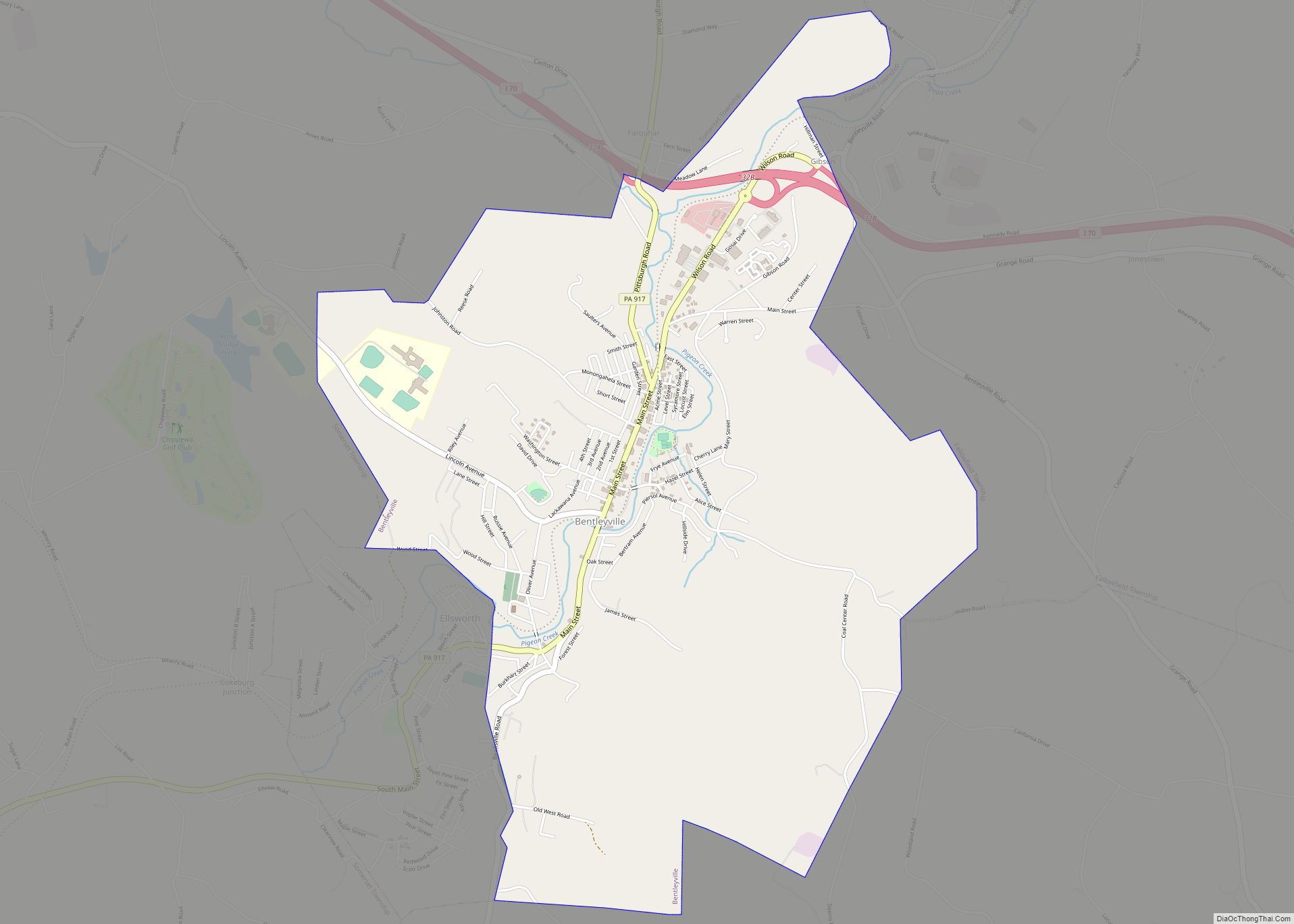
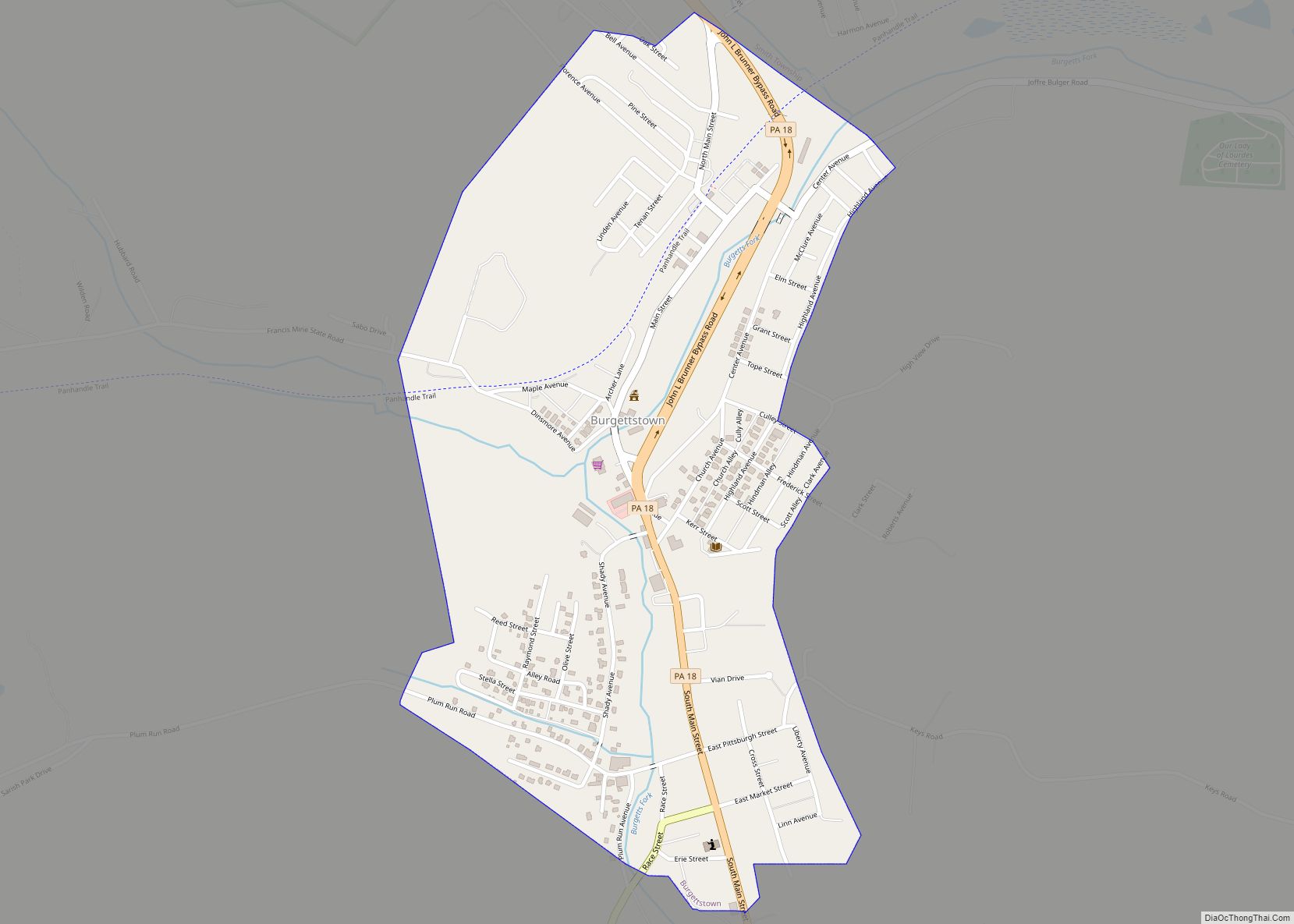
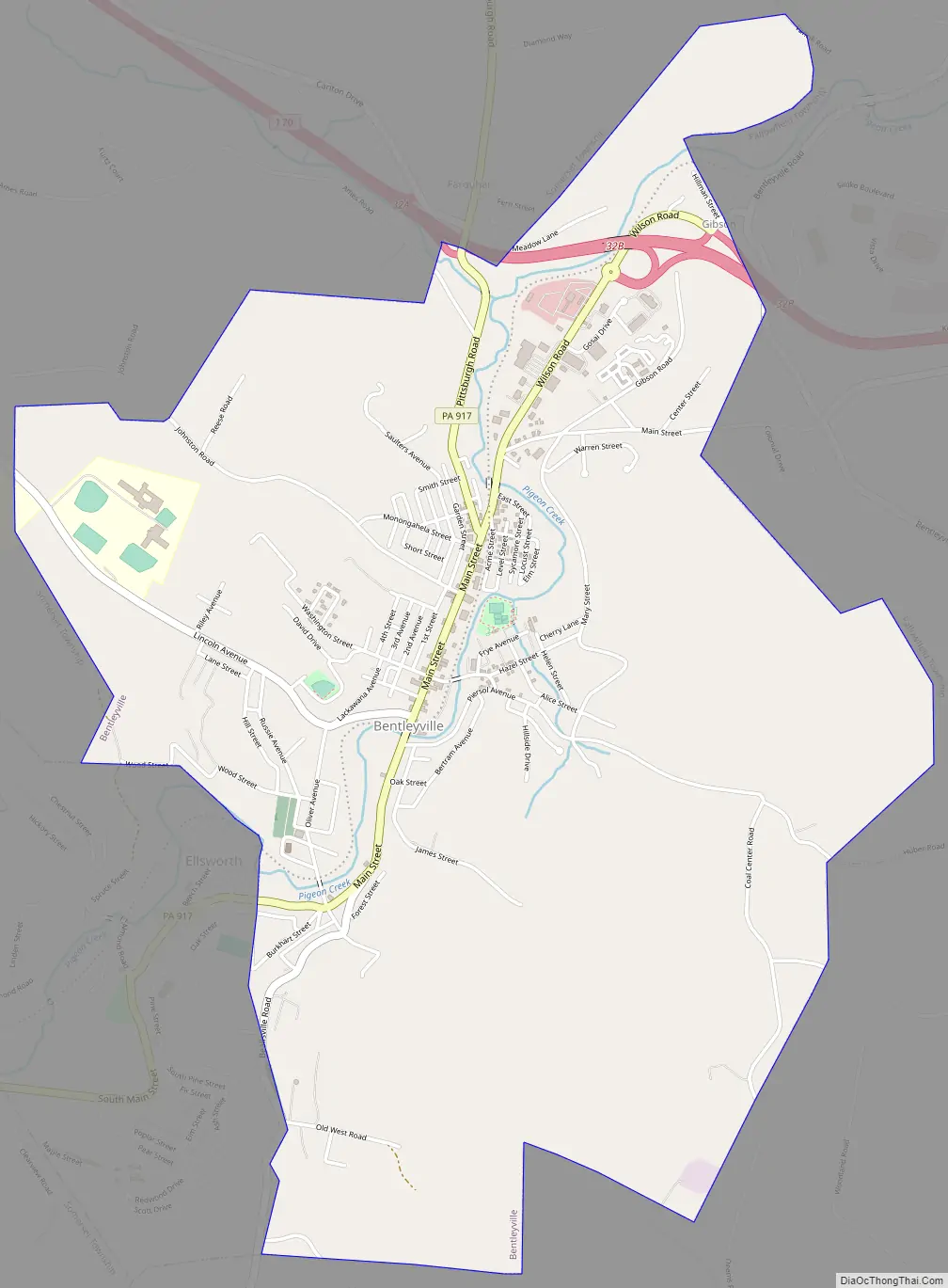
Bentleyville Road Map
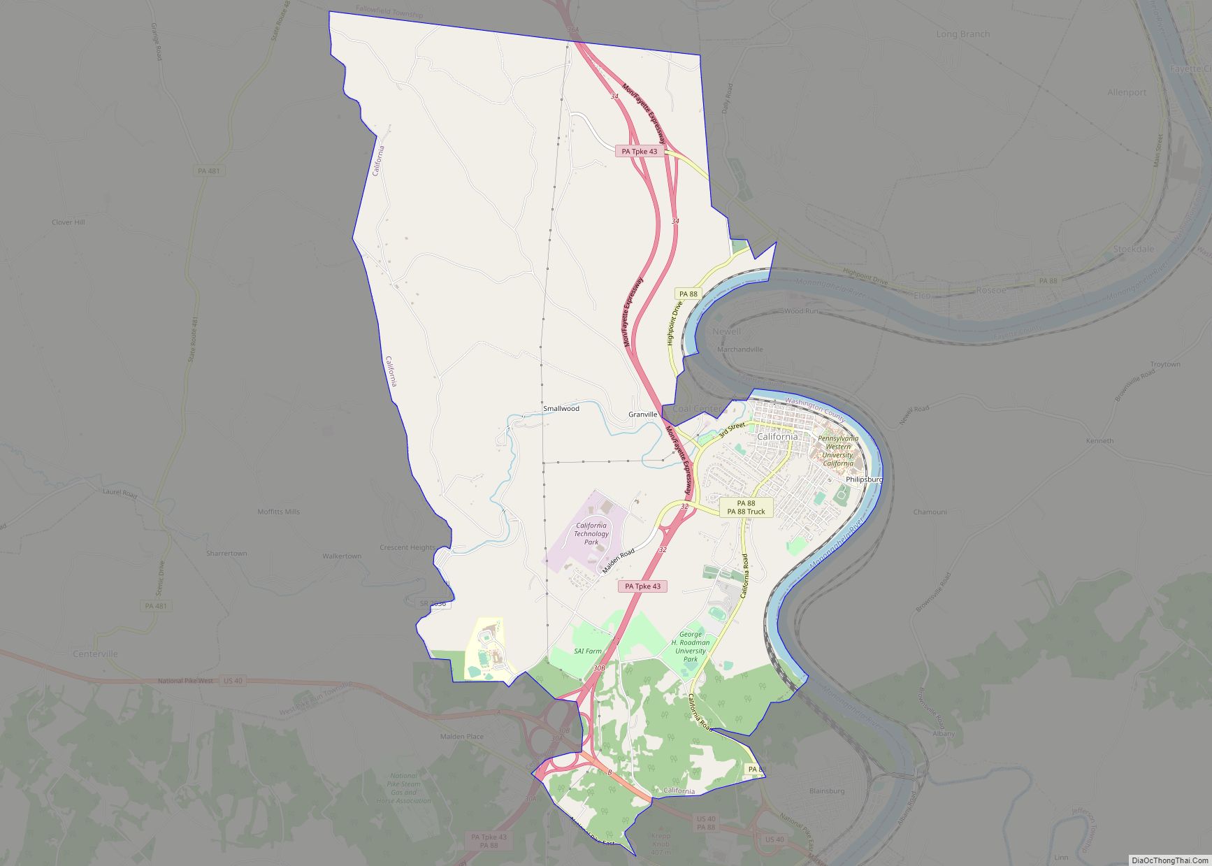
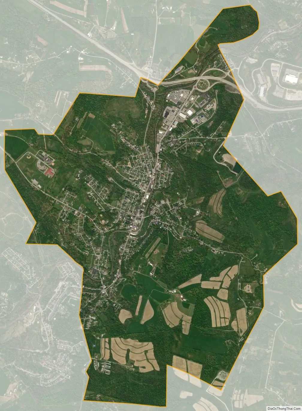
Bentleyville city Satellite Map
Geography
Bentleyville is located at 40°7′11″N 80°0′22″W / 40.11972°N 80.00611°W / 40.11972; -80.00611 (40.119799, -80.006146). Interstate 70 borders the borough’s northern side and Pennsylvania state Route 917 forms Main Street.
According to the United States Census Bureau, the borough has a total area of 3.7 square miles (9.6 km), all land; except Pigeon Creek passes through the borough.
See also
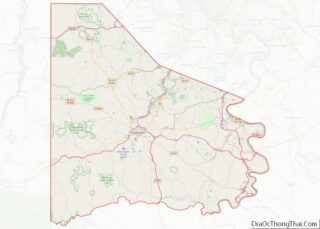
Map of Pennsylvania State and its subdivision:- Adams
- Allegheny
- Armstrong
- Beaver
- Bedford
- Berks
- Blair
- Bradford
- Bucks
- Butler
- Cambria
- Cameron
- Carbon
- Centre
- Chester
- Clarion
- Clearfield
- Clinton
- Columbia
- Crawford
- Cumberland
- Dauphin
- Delaware
- Elk
- Erie
- Fayette
- Forest
- Franklin
- Fulton
- Greene
- Huntingdon
- Indiana
- Jefferson
- Juniata
- Lackawanna
- Lancaster
- Lawrence
- Lebanon
- Lehigh
- Luzerne
- Lycoming
- Mc Kean
- Mercer
- Mifflin
- Monroe
- Montgomery
- Montour
- Northampton
- Northumberland
- Perry
- Philadelphia
- Pike
- Potter
- Schuylkill
- Snyder
- Somerset
- Sullivan
- Susquehanna
- Tioga
- Union
- Venango
- Warren
- Washington
- Wayne
- Westmoreland
- Wyoming
- York
- Alabama
- Alaska
- Arizona
- Arkansas
- California
- Colorado
- Connecticut
- Delaware
- District of Columbia
- Florida
- Georgia
- Hawaii
- Idaho
- Illinois
- Indiana
- Iowa
- Kansas
- Kentucky
- Louisiana
- Maine
- Maryland
- Massachusetts
- Michigan
- Minnesota
- Mississippi
- Missouri
- Montana
- Nebraska
- Nevada
- New Hampshire
- New Jersey
- New Mexico
- New York
- North Carolina
- North Dakota
- Ohio
- Oklahoma
- Oregon
- Pennsylvania
- Rhode Island
- South Carolina
- South Dakota
- Tennessee
- Texas
- Utah
- Vermont
- Virginia
- Washington
- West Virginia
- Wisconsin
- Wyoming