Blakely is a borough in Lackawanna County, Pennsylvania, United States. It is part of Northeastern Pennsylvania. The population was 6,657 at the 2020 census.
The Lackawanna River flows through Blakely, and within the borough is the village of Peckville.
| Name: | Blakely borough |
|---|---|
| LSAD Code: | 21 |
| LSAD Description: | borough (suffix) |
| State: | Pennsylvania |
| County: | Lackawanna County |
| Elevation: | 856 ft (261 m) |
| Total Area: | 3.81 sq mi (9.88 km²) |
| Land Area: | 3.81 sq mi (9.88 km²) |
| Water Area: | 0.00 sq mi (0.00 km²) |
| Total Population: | 6,657 |
| Population Density: | 1,745.87/sq mi (674.12/km²) |
| ZIP code: | 18452 |
| Area code: | 570 |
| FIPS code: | 4206928 |
| Website: | blakelyborough.com |
Online Interactive Map
Click on ![]() to view map in "full screen" mode.
to view map in "full screen" mode.
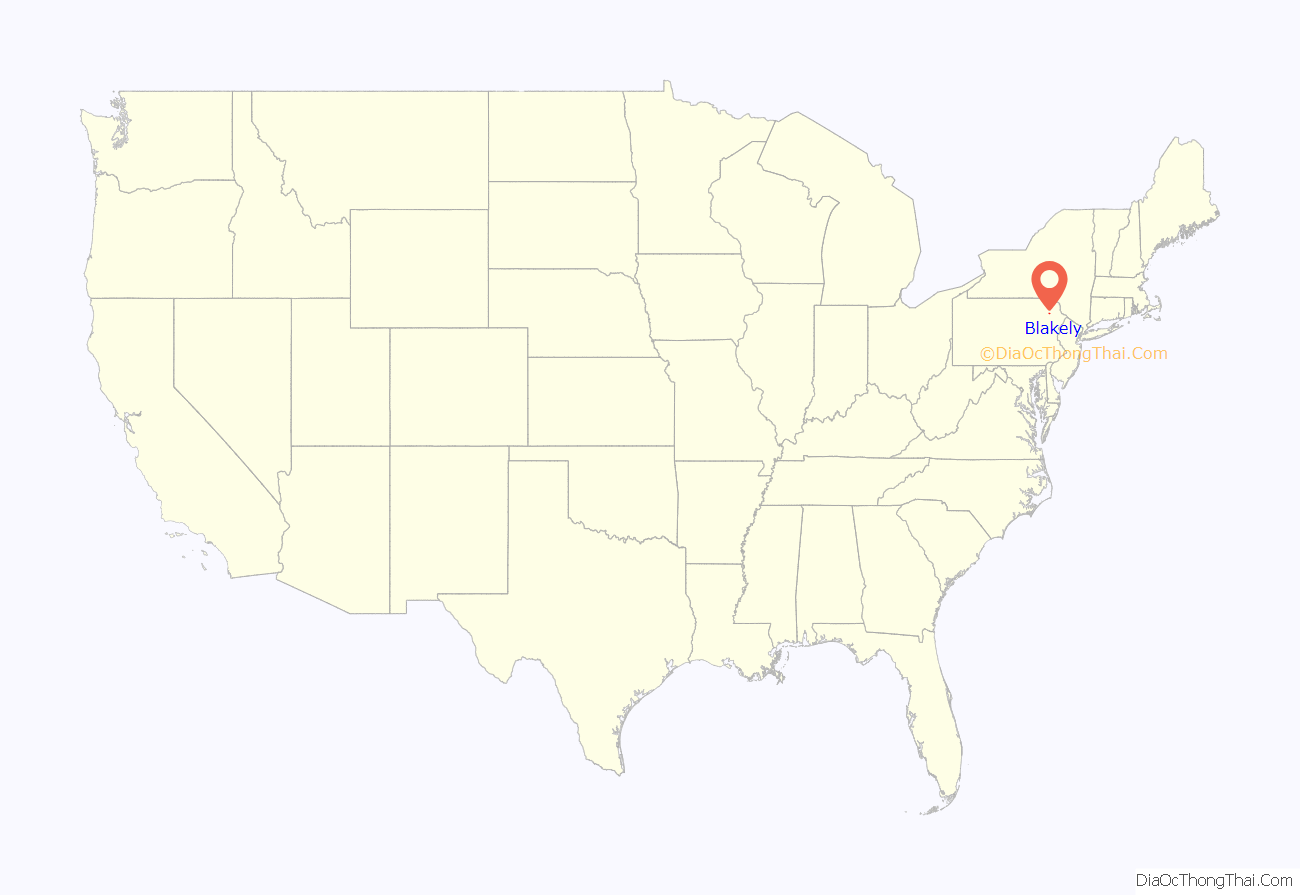
Blakely location map. Where is Blakely borough?
History
The borough is named after naval hero Johnston Blakely, who captainained the sloop Wasp during the War of 1812. The “Johnston Blakeley Memorial” in Blakely is a large anchor from the aircraft carrier USS Wasp, decommissioned in the 1960s.
In the 1970s, Blakely was home to Masterpiece Inc., the seventh largest manufacturer of artificial Christmas trees.
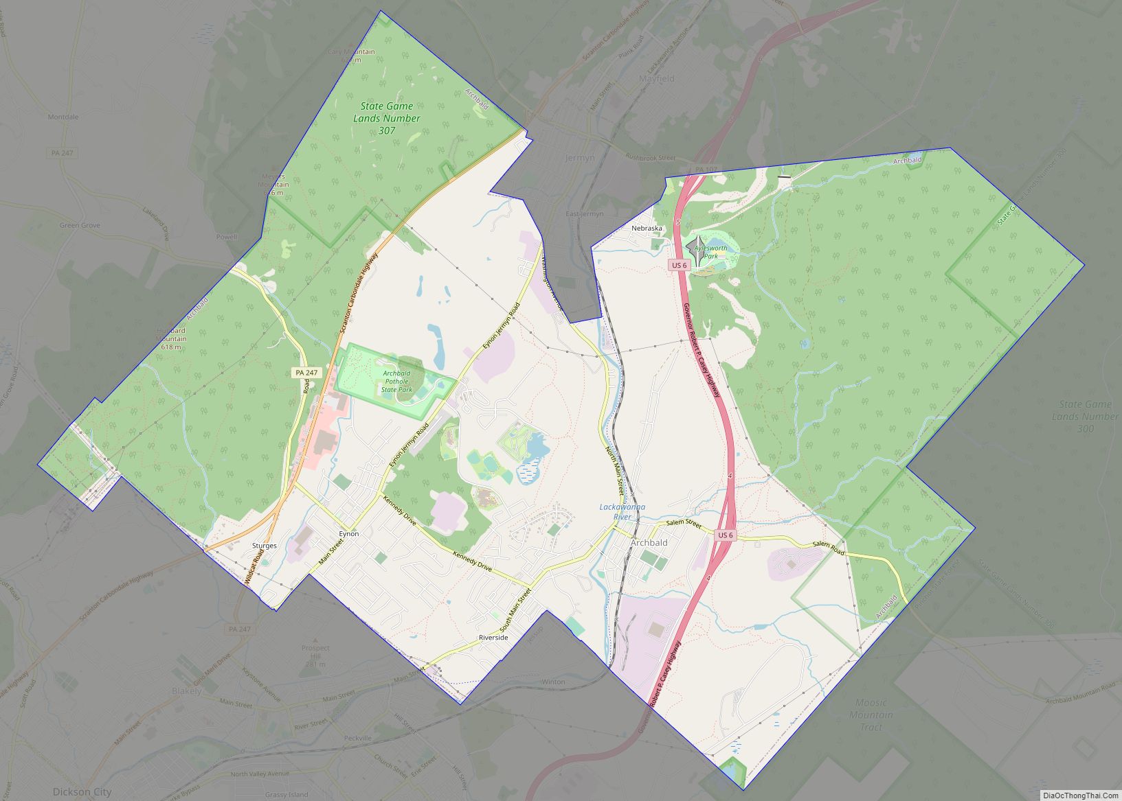
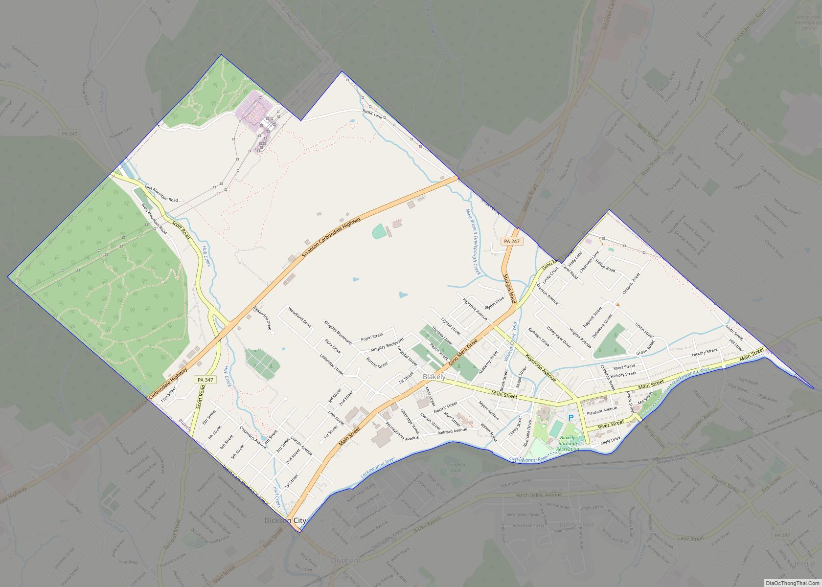
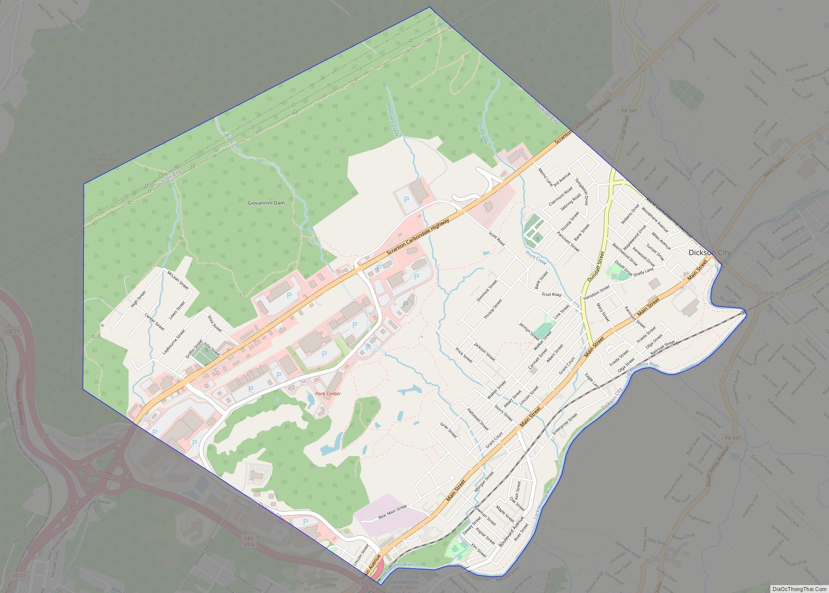
Blakely Road Map
Blakely city Satellite Map
Geography
According to the U.S. Census Bureau, the borough has a total area of 3.8 square miles (9.8 km), all land.
See also
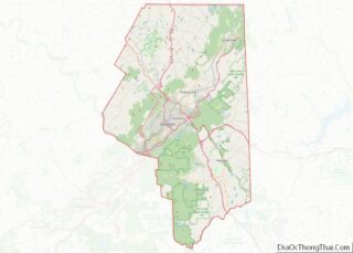
Map of Pennsylvania State and its subdivision:- Adams
- Allegheny
- Armstrong
- Beaver
- Bedford
- Berks
- Blair
- Bradford
- Bucks
- Butler
- Cambria
- Cameron
- Carbon
- Centre
- Chester
- Clarion
- Clearfield
- Clinton
- Columbia
- Crawford
- Cumberland
- Dauphin
- Delaware
- Elk
- Erie
- Fayette
- Forest
- Franklin
- Fulton
- Greene
- Huntingdon
- Indiana
- Jefferson
- Juniata
- Lackawanna
- Lancaster
- Lawrence
- Lebanon
- Lehigh
- Luzerne
- Lycoming
- Mc Kean
- Mercer
- Mifflin
- Monroe
- Montgomery
- Montour
- Northampton
- Northumberland
- Perry
- Philadelphia
- Pike
- Potter
- Schuylkill
- Snyder
- Somerset
- Sullivan
- Susquehanna
- Tioga
- Union
- Venango
- Warren
- Washington
- Wayne
- Westmoreland
- Wyoming
- York
- Alabama
- Alaska
- Arizona
- Arkansas
- California
- Colorado
- Connecticut
- Delaware
- District of Columbia
- Florida
- Georgia
- Hawaii
- Idaho
- Illinois
- Indiana
- Iowa
- Kansas
- Kentucky
- Louisiana
- Maine
- Maryland
- Massachusetts
- Michigan
- Minnesota
- Mississippi
- Missouri
- Montana
- Nebraska
- Nevada
- New Hampshire
- New Jersey
- New Mexico
- New York
- North Carolina
- North Dakota
- Ohio
- Oklahoma
- Oregon
- Pennsylvania
- Rhode Island
- South Carolina
- South Dakota
- Tennessee
- Texas
- Utah
- Vermont
- Virginia
- Washington
- West Virginia
- Wisconsin
- Wyoming
