Blawnox is a borough in Allegheny County, Pennsylvania, United States. The population was 1,454 at the 2020 census.
| Name: | Blawnox borough |
|---|---|
| LSAD Code: | 21 |
| LSAD Description: | borough (suffix) |
| State: | Pennsylvania |
| County: | Allegheny County |
| Incorporated: | April 13, 1925; 98 years ago (1925-04-13) |
| Elevation: | 843 ft (257 m) |
| Total Area: | 0.44 sq mi (1.14 km²) |
| Land Area: | 0.30 sq mi (0.77 km²) |
| Water Area: | 0.14 sq mi (0.37 km²) |
| Total Population: | 1,454 |
| Population Density: | 4,912.16/sq mi (1,893.83/km²) |
| ZIP code: | 15238 |
| Area code: | 412 |
| FIPS code: | 4207000 |
| Website: | http://www.blawnox.com |
Online Interactive Map
Click on ![]() to view map in "full screen" mode.
to view map in "full screen" mode.
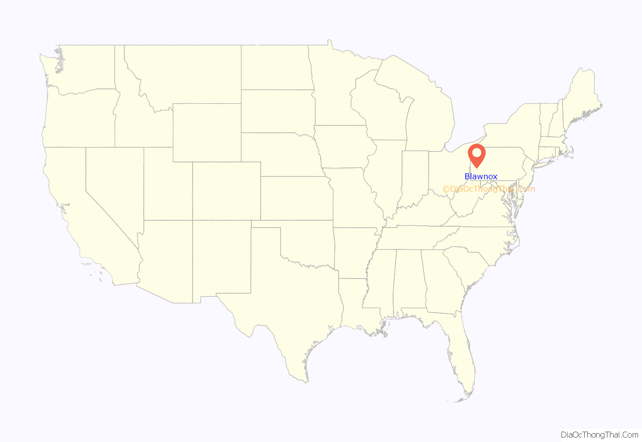
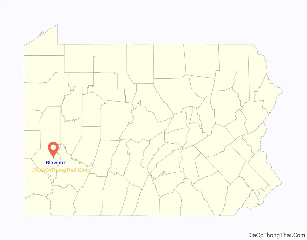
Blawnox location map. Where is Blawnox borough?
History
The town was founded in the late 19th century, with the name Hoboken. Steel was the community’s major industry, with the area being home to the Blaw Steel Co. and the Knox Welded and Pressed Steel Co. When the Blaw Steel Co. acquired the Knox Welded and Pressed Steel Co. in 1917, the company became known as the Blaw-Knox Steel Construction Co., and the size of Hoboken was expanded to the whole area spanned by the Blaw-Knox mill.
Blawnox was incorporated on April 13, 1925, from O’Hara Township.
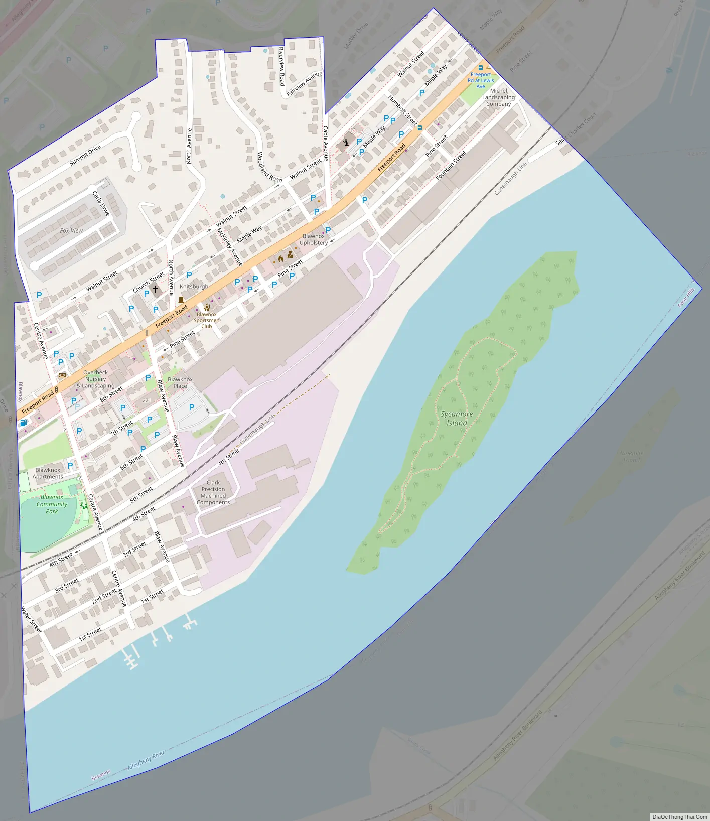
Blawnox Road Map
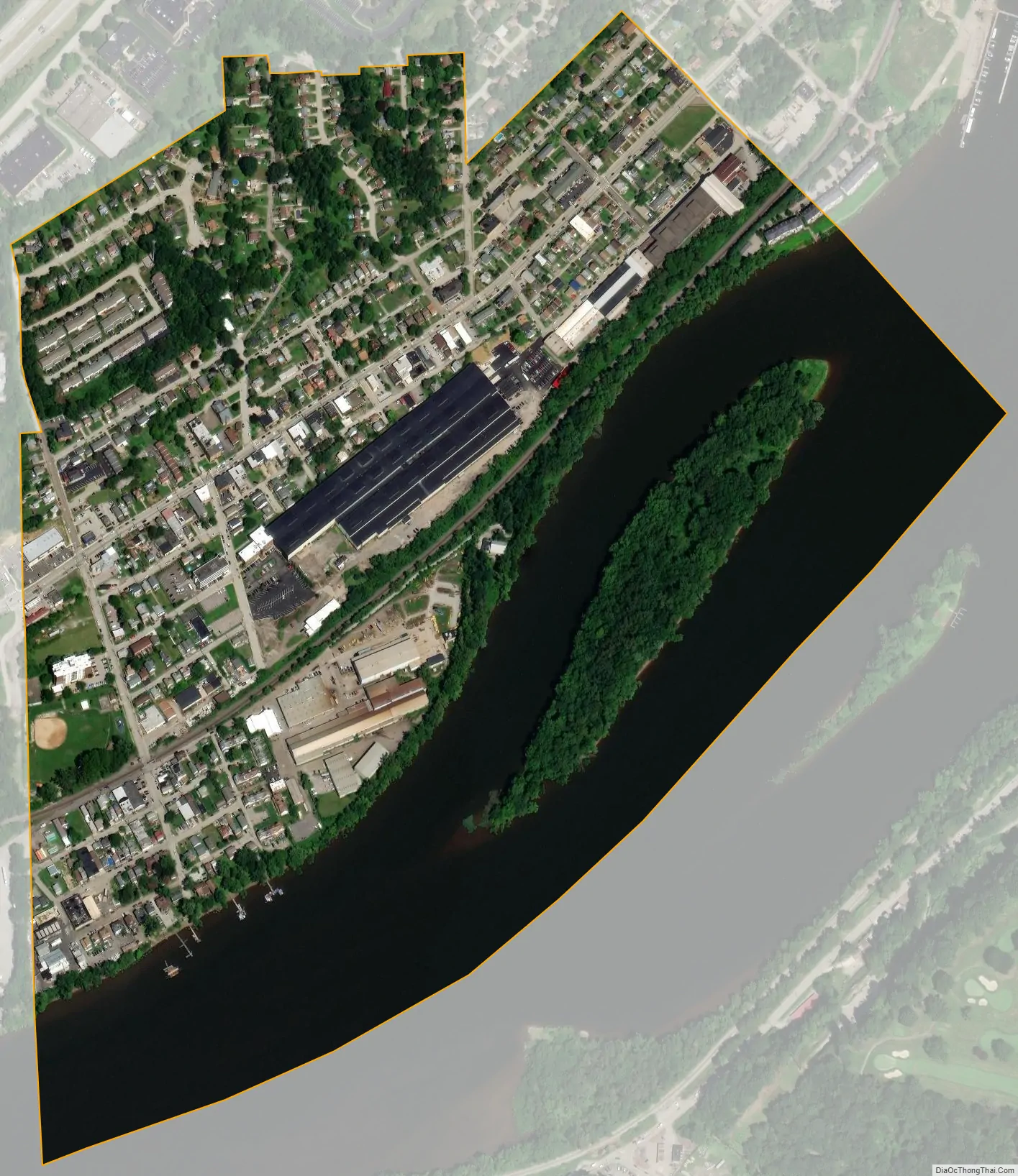
Blawnox city Satellite Map
Geography
Blawnox is located at 40°29′33″N 79°51′40″W / 40.49250°N 79.86111°W / 40.49250; -79.86111.
According to the United States Census Bureau, the borough has a total area of 0.4 square miles (1.0 km), of which 0.3 square miles (0.78 km) is land and 0.1 square miles (0.26 km), or 25.58%, is water. Its average elevation is 843 feet (257 m) above sea level.
See also
Map of Pennsylvania State and its subdivision:- Adams
- Allegheny
- Armstrong
- Beaver
- Bedford
- Berks
- Blair
- Bradford
- Bucks
- Butler
- Cambria
- Cameron
- Carbon
- Centre
- Chester
- Clarion
- Clearfield
- Clinton
- Columbia
- Crawford
- Cumberland
- Dauphin
- Delaware
- Elk
- Erie
- Fayette
- Forest
- Franklin
- Fulton
- Greene
- Huntingdon
- Indiana
- Jefferson
- Juniata
- Lackawanna
- Lancaster
- Lawrence
- Lebanon
- Lehigh
- Luzerne
- Lycoming
- Mc Kean
- Mercer
- Mifflin
- Monroe
- Montgomery
- Montour
- Northampton
- Northumberland
- Perry
- Philadelphia
- Pike
- Potter
- Schuylkill
- Snyder
- Somerset
- Sullivan
- Susquehanna
- Tioga
- Union
- Venango
- Warren
- Washington
- Wayne
- Westmoreland
- Wyoming
- York
- Alabama
- Alaska
- Arizona
- Arkansas
- California
- Colorado
- Connecticut
- Delaware
- District of Columbia
- Florida
- Georgia
- Hawaii
- Idaho
- Illinois
- Indiana
- Iowa
- Kansas
- Kentucky
- Louisiana
- Maine
- Maryland
- Massachusetts
- Michigan
- Minnesota
- Mississippi
- Missouri
- Montana
- Nebraska
- Nevada
- New Hampshire
- New Jersey
- New Mexico
- New York
- North Carolina
- North Dakota
- Ohio
- Oklahoma
- Oregon
- Pennsylvania
- Rhode Island
- South Carolina
- South Dakota
- Tennessee
- Texas
- Utah
- Vermont
- Virginia
- Washington
- West Virginia
- Wisconsin
- Wyoming


