Brackenridge is a borough in Allegheny County, Pennsylvania, United States, located along the Allegheny River. It is part of the Greater Pittsburgh metropolitan area.
The town is named for Henry Marie Brackenridge. The borough once had glass factories. An Allegheny Technologies steel mill, Allegheny Ludlum Brackenridge Works, plays a prominent role in the community, although most of the facility is located in Harrison Township.
The borough’s population stood at 3,421 in 1910 and at 6,400 in 1940. As of the 2020 census, it was 3,240.
| Name: | Brackenridge borough |
|---|---|
| LSAD Code: | 21 |
| LSAD Description: | borough (suffix) |
| State: | Pennsylvania |
| County: | Allegheny County |
| Incorporated: | September 21, 1901 |
| Elevation: | 827 ft (252 m) |
| Total Area: | 0.56 sq mi (1.45 km²) |
| Land Area: | 0.51 sq mi (1.33 km²) |
| Water Area: | 0.05 sq mi (0.12 km²) |
| Total Population: | 3,240 |
| Population Density: | 6,315.79/sq mi (2,437.84/km²) |
| ZIP code: | 15014 |
| Area code: | 724 |
| FIPS code: | 4207976 |
| Website: | www.brackenridgeboro.com |
Online Interactive Map
Click on ![]() to view map in "full screen" mode.
to view map in "full screen" mode.
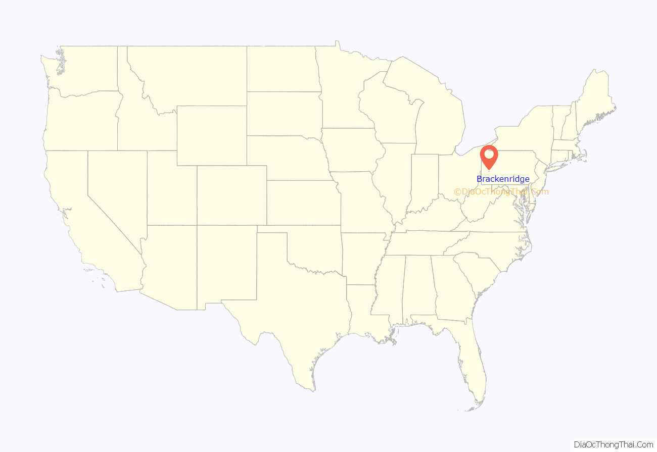
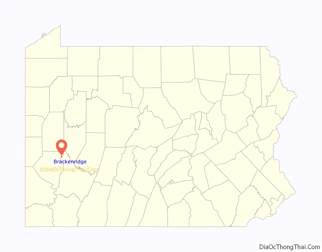
Brackenridge location map. Where is Brackenridge borough?
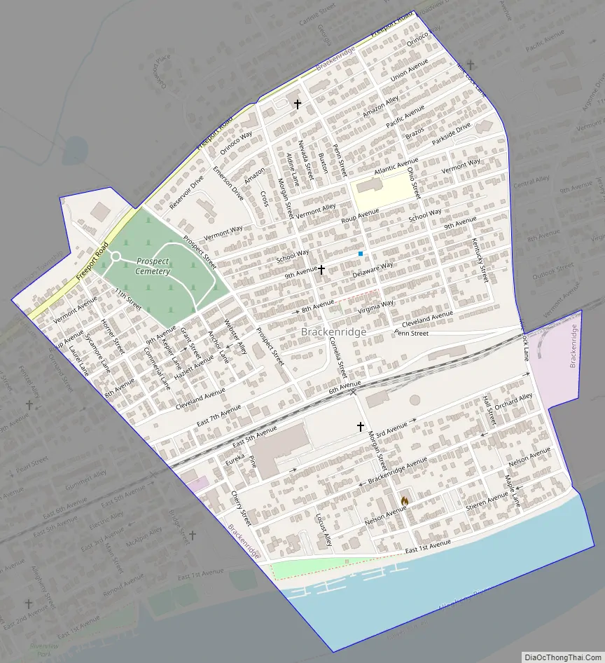
Brackenridge Road Map
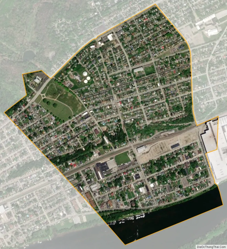
Brackenridge city Satellite Map
Geography
Brackenridge is located at 40°36′30″N 79°44′32″W / 40.60833°N 79.74222°W / 40.60833; -79.74222. The borough’s average elevation is 827 feet (252 m) above sea level. According to the U.S. Census Bureau, the borough has a total area of 0.6 square miles (1.6 km), of which 0.5 square miles (1.3 km) is land and 0.04 square miles (0.10 km), or 7.27%, is water.
Surrounding and adjacent neighborhoods
Brackenridge has two land borders with Tarentum to the west and Harrison Township to the north and east. Across the Allegheny River in Westmoreland County to the south, Brackenridge runs adjacent with Lower Burrell.
See also
Map of Pennsylvania State and its subdivision:- Adams
- Allegheny
- Armstrong
- Beaver
- Bedford
- Berks
- Blair
- Bradford
- Bucks
- Butler
- Cambria
- Cameron
- Carbon
- Centre
- Chester
- Clarion
- Clearfield
- Clinton
- Columbia
- Crawford
- Cumberland
- Dauphin
- Delaware
- Elk
- Erie
- Fayette
- Forest
- Franklin
- Fulton
- Greene
- Huntingdon
- Indiana
- Jefferson
- Juniata
- Lackawanna
- Lancaster
- Lawrence
- Lebanon
- Lehigh
- Luzerne
- Lycoming
- Mc Kean
- Mercer
- Mifflin
- Monroe
- Montgomery
- Montour
- Northampton
- Northumberland
- Perry
- Philadelphia
- Pike
- Potter
- Schuylkill
- Snyder
- Somerset
- Sullivan
- Susquehanna
- Tioga
- Union
- Venango
- Warren
- Washington
- Wayne
- Westmoreland
- Wyoming
- York
- Alabama
- Alaska
- Arizona
- Arkansas
- California
- Colorado
- Connecticut
- Delaware
- District of Columbia
- Florida
- Georgia
- Hawaii
- Idaho
- Illinois
- Indiana
- Iowa
- Kansas
- Kentucky
- Louisiana
- Maine
- Maryland
- Massachusetts
- Michigan
- Minnesota
- Mississippi
- Missouri
- Montana
- Nebraska
- Nevada
- New Hampshire
- New Jersey
- New Mexico
- New York
- North Carolina
- North Dakota
- Ohio
- Oklahoma
- Oregon
- Pennsylvania
- Rhode Island
- South Carolina
- South Dakota
- Tennessee
- Texas
- Utah
- Vermont
- Virginia
- Washington
- West Virginia
- Wisconsin
- Wyoming


