Bradford Woods is a borough in Allegheny County, Pennsylvania, United States. The population was 1,183 at the 2020 census. A suburb of the Pittsburgh metropolitan area, it is part of the North Allegheny School District and participates in the multi-municipality Northland Public Library. It is home to Bradford Woods Elementary School.
| Name: | Bradford Woods borough |
|---|---|
| LSAD Code: | 21 |
| LSAD Description: | borough (suffix) |
| State: | Pennsylvania |
| County: | Allegheny County |
| Incorporated: | May 3, 1915 |
| Elevation: | 1,250 ft (380 m) |
| Total Area: | 0.89 sq mi (2.31 km²) |
| Land Area: | 0.89 sq mi (2.31 km²) |
| Water Area: | 0.00 sq mi (0.00 km²) |
| Total Population: | 1,183 |
| Population Density: | 1,327.72/sq mi (512.43/km²) |
| ZIP code: | 15015 |
| Area code: | 724 |
| FIPS code: | 4208064 |
| Website: | www.bradfordwoodspa.org |
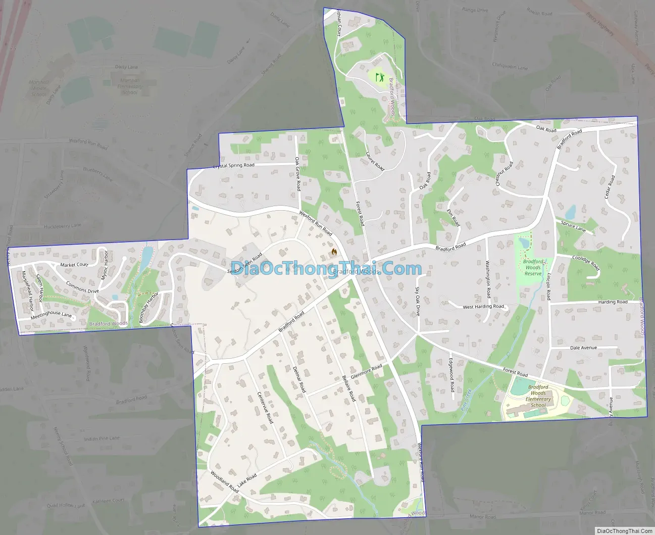
Online Interactive Map
Click on ![]() to view map in "full screen" mode.
to view map in "full screen" mode.
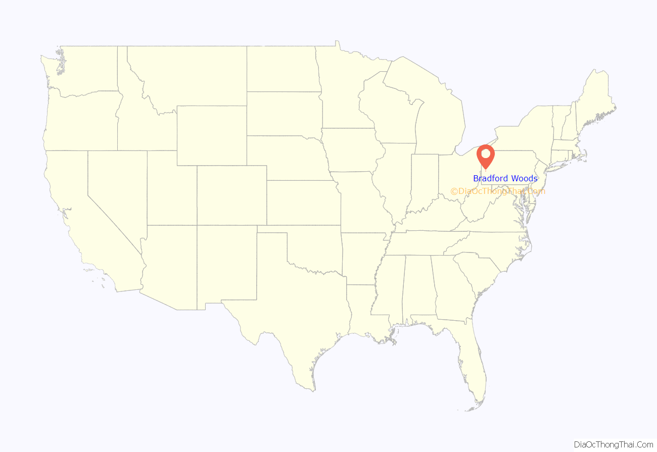
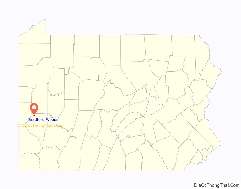
Bradford Woods location map. Where is Bradford Woods borough?
History
Bradford Woods, originally settled as a summer getaway, was incorporated as a borough on May 3, 1915, from Marshall Township. The Pittsburgh, Harmony, Butler and New Castle (Harmony Line) interurban railway previously ran through Bradford Woods, where Forest Road is today. It provided a direct route to Pittsburgh. A home rule government was established in 1974.
Bradford Woods Road Map
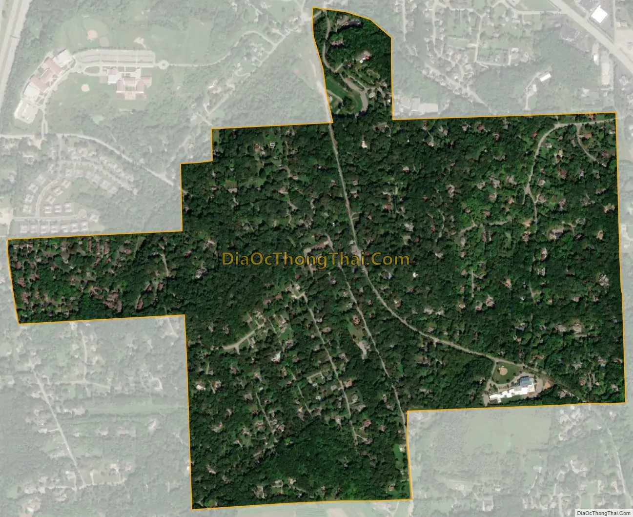
Bradford Woods city Satellite Map
Geography
Bradford Woods is located at 40°38′9″N 80°4′55″W / 40.63583°N 80.08194°W / 40.63583; -80.08194.
According to the United States Census Bureau, the borough has a total area of 0.9 square miles (2.3 km), all of it land. Its average elevation is 1,250 ft (381 m) above sea level.
Surrounding neighborhoods
Bradford Woods has only two borders: Marshall Township to the north, south and west, and Pine Township to the east. The community is surrounded by unincorporated Wexford and has its own zip code.
See also
Map of Pennsylvania State and its subdivision:- Adams
- Allegheny
- Armstrong
- Beaver
- Bedford
- Berks
- Blair
- Bradford
- Bucks
- Butler
- Cambria
- Cameron
- Carbon
- Centre
- Chester
- Clarion
- Clearfield
- Clinton
- Columbia
- Crawford
- Cumberland
- Dauphin
- Delaware
- Elk
- Erie
- Fayette
- Forest
- Franklin
- Fulton
- Greene
- Huntingdon
- Indiana
- Jefferson
- Juniata
- Lackawanna
- Lancaster
- Lawrence
- Lebanon
- Lehigh
- Luzerne
- Lycoming
- Mc Kean
- Mercer
- Mifflin
- Monroe
- Montgomery
- Montour
- Northampton
- Northumberland
- Perry
- Philadelphia
- Pike
- Potter
- Schuylkill
- Snyder
- Somerset
- Sullivan
- Susquehanna
- Tioga
- Union
- Venango
- Warren
- Washington
- Wayne
- Westmoreland
- Wyoming
- York
- Alabama
- Alaska
- Arizona
- Arkansas
- California
- Colorado
- Connecticut
- Delaware
- District of Columbia
- Florida
- Georgia
- Hawaii
- Idaho
- Illinois
- Indiana
- Iowa
- Kansas
- Kentucky
- Louisiana
- Maine
- Maryland
- Massachusetts
- Michigan
- Minnesota
- Mississippi
- Missouri
- Montana
- Nebraska
- Nevada
- New Hampshire
- New Jersey
- New Mexico
- New York
- North Carolina
- North Dakota
- Ohio
- Oklahoma
- Oregon
- Pennsylvania
- Rhode Island
- South Carolina
- South Dakota
- Tennessee
- Texas
- Utah
- Vermont
- Virginia
- Washington
- West Virginia
- Wisconsin
- Wyoming


