Bridgeville is a borough in Allegheny County in the U.S. state of Pennsylvania. The population was 4,804 at the 2020 census.
| Name: | Bridgeville borough |
|---|---|
| LSAD Code: | 21 |
| LSAD Description: | borough (suffix) |
| State: | Pennsylvania |
| County: | Allegheny County |
| Incorporated: | July 27, 1901 |
| Elevation: | 820 ft (250 m) |
| Total Area: | 1.10 sq mi (2.84 km²) |
| Land Area: | 1.09 sq mi (2.84 km²) |
| Water Area: | 0.00 sq mi (0.00 km²) |
| Total Population: | 4,804 |
| Population Density: | 4,387.21/sq mi (1,693.68/km²) |
| ZIP code: | 15017 |
| Area code: | 412 |
| FIPS code: | 4208624 |
| Website: | www.bridgevilleboro.com |
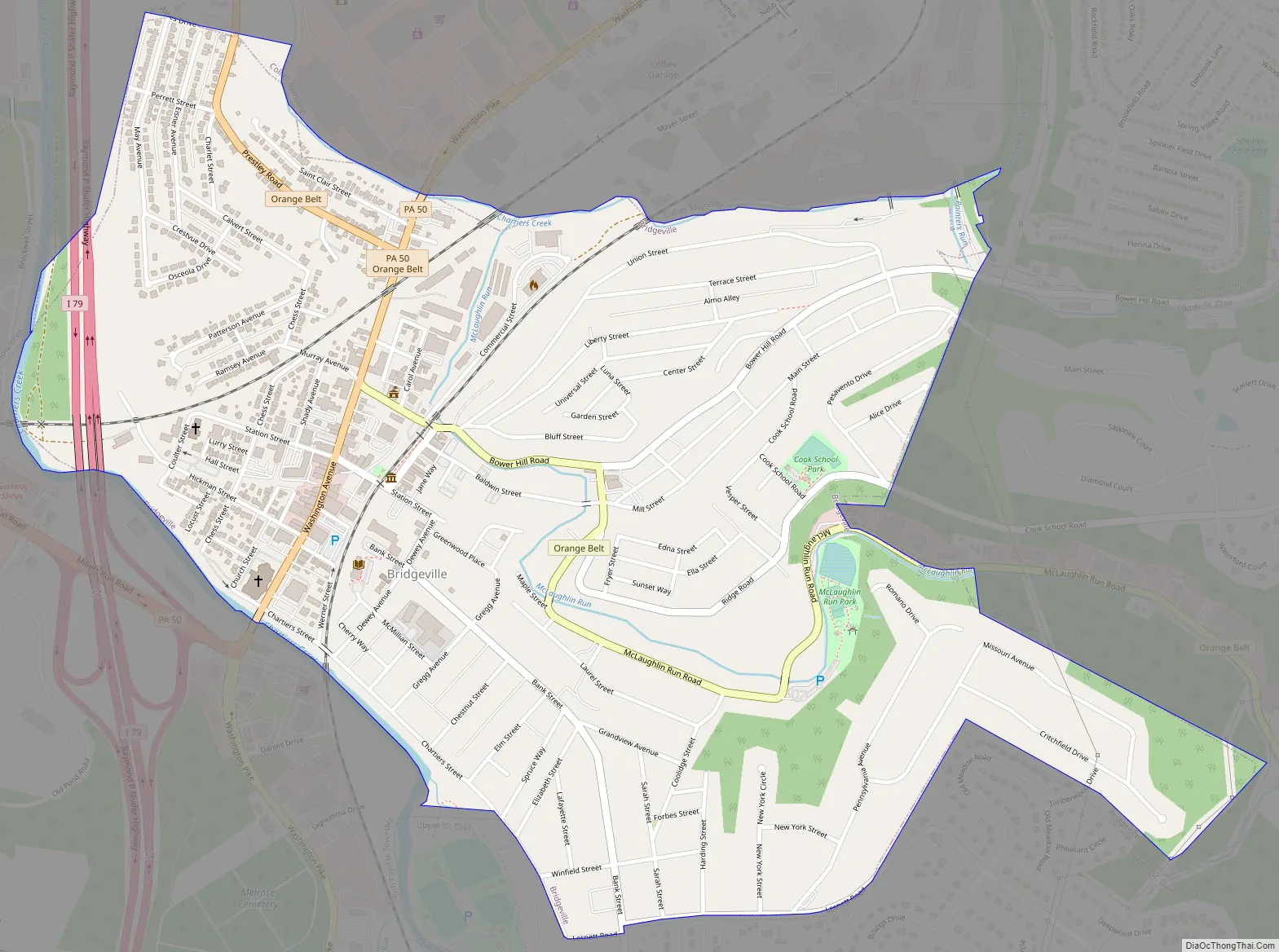
Online Interactive Map
Click on ![]() to view map in "full screen" mode.
to view map in "full screen" mode.
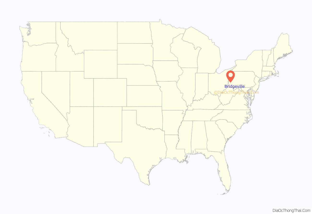
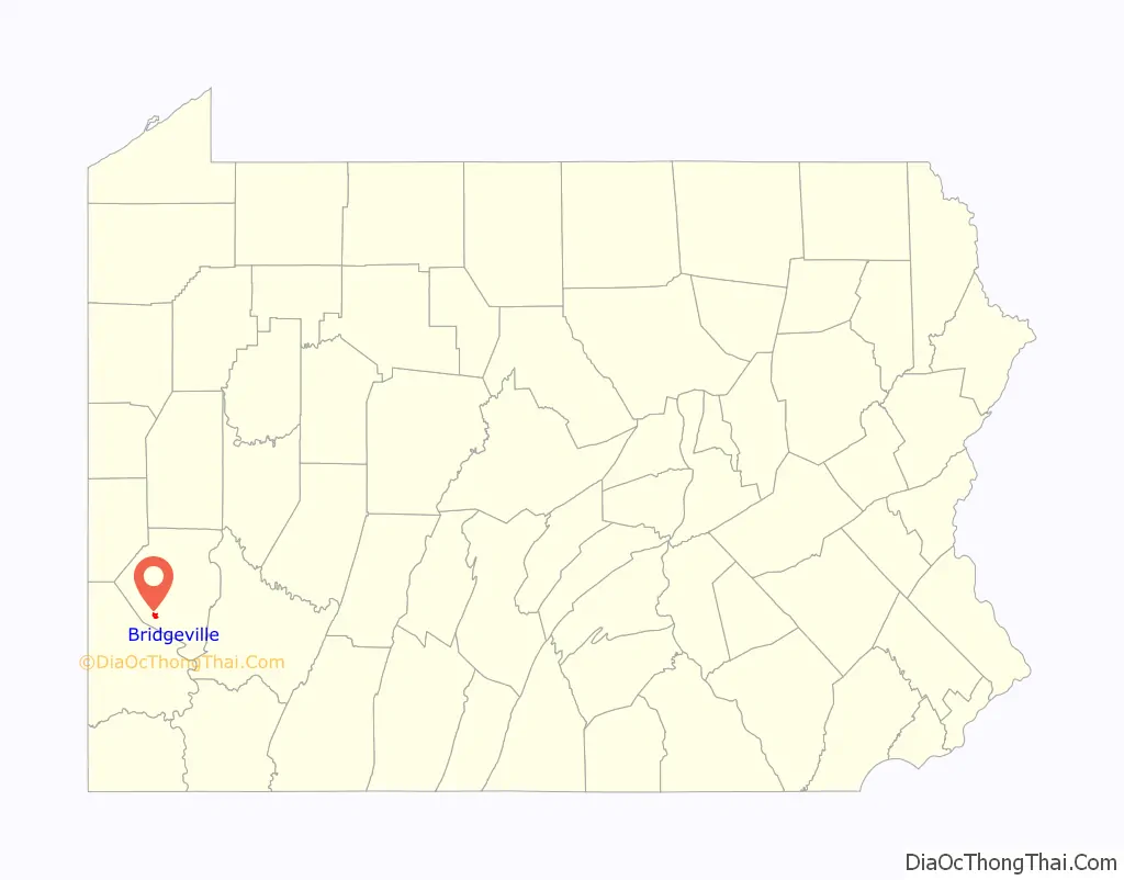
Bridgeville location map. Where is Bridgeville borough?
History
The village that eventually became Bridgeville acquired its name because of the first bridge built at the crossing of Chartiers Creek at the south end of what is now Washington Avenue.
The area was originally named St. Clair Township in 1763, and the southern part was split off as Upper St. Clair Township in 1806. For nearly 100 years, Bridgeville was a village within Upper St. Clair Township, known for its one bridge over Chartiers Creek where people frequently met to trade goods. An old saying, “Meet me at the bridge,” provided an obvious name for the village that began to develop north of the bridge around 1830.
Mining operations began in the 1880s, prompting growth. Bridgeville was officially incorporated as a borough on July 27, 1901, from Upper St. Clair Township.
A mass shooting took place on August 4, 2009, in an LA Fitness health club near Bridgeville in Collier Township. The attack resulted in four deaths, including that of the perpetrator, who took his own life. Nine other people were injured.
Bridgeville Road Map
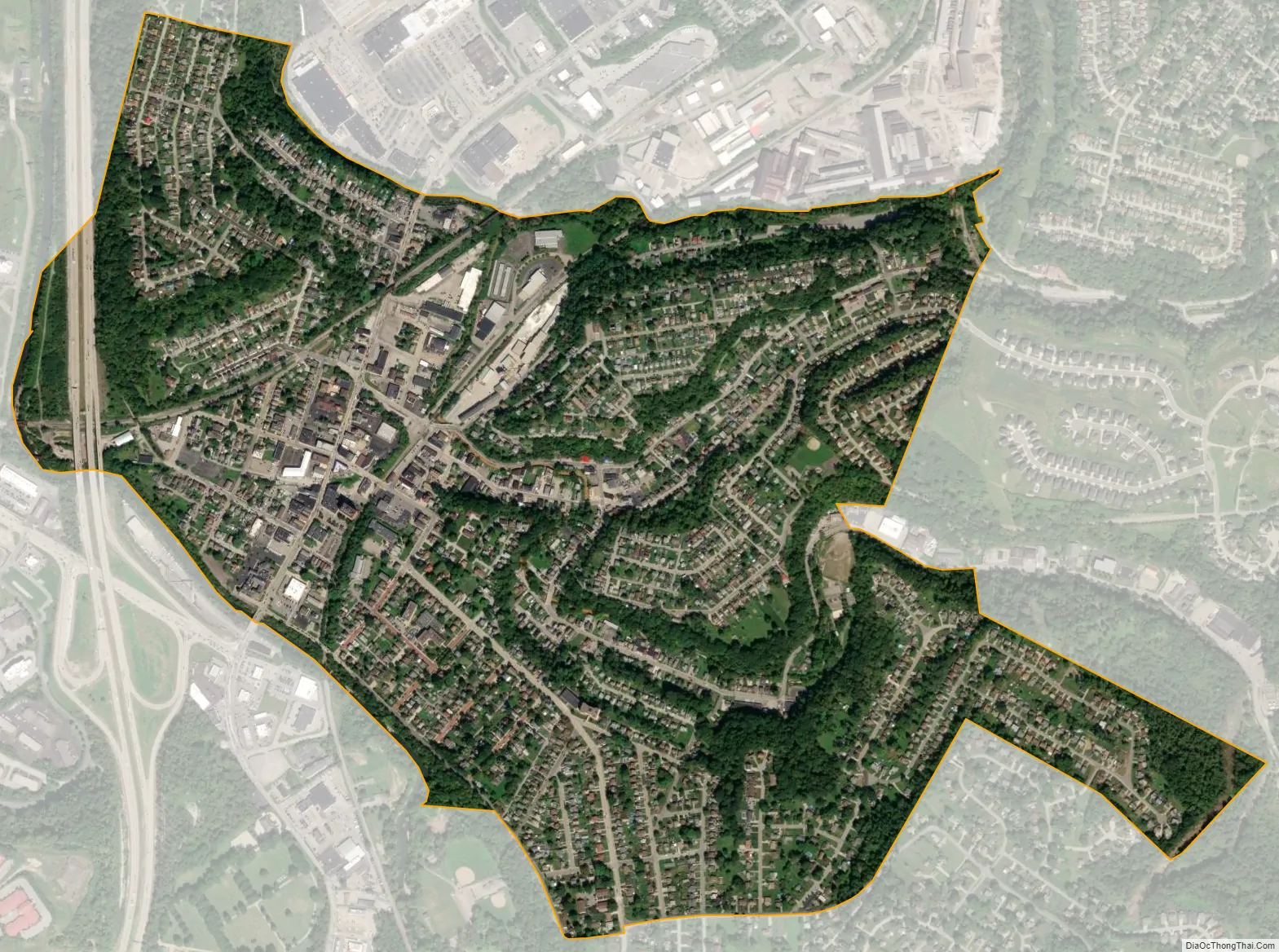
Bridgeville city Satellite Map
Geography
Bridgeville is located along Chartiers Creek, about 8 miles (13 km) southwest of downtown Pittsburgh at 40°21′25″N 80°6′31″W / 40.35694°N 80.10861°W / 40.35694; -80.10861.
According to the United States Census Bureau, the borough has a total area of 1.1 square miles (2.8 km), all land. Its average elevation is 1,250 ft (381 m) above sea level.
McLaughlin Run, a tributary to Chartiers Creek, flows through Bridgeville.
See also
Map of Pennsylvania State and its subdivision:- Adams
- Allegheny
- Armstrong
- Beaver
- Bedford
- Berks
- Blair
- Bradford
- Bucks
- Butler
- Cambria
- Cameron
- Carbon
- Centre
- Chester
- Clarion
- Clearfield
- Clinton
- Columbia
- Crawford
- Cumberland
- Dauphin
- Delaware
- Elk
- Erie
- Fayette
- Forest
- Franklin
- Fulton
- Greene
- Huntingdon
- Indiana
- Jefferson
- Juniata
- Lackawanna
- Lancaster
- Lawrence
- Lebanon
- Lehigh
- Luzerne
- Lycoming
- Mc Kean
- Mercer
- Mifflin
- Monroe
- Montgomery
- Montour
- Northampton
- Northumberland
- Perry
- Philadelphia
- Pike
- Potter
- Schuylkill
- Snyder
- Somerset
- Sullivan
- Susquehanna
- Tioga
- Union
- Venango
- Warren
- Washington
- Wayne
- Westmoreland
- Wyoming
- York
- Alabama
- Alaska
- Arizona
- Arkansas
- California
- Colorado
- Connecticut
- Delaware
- District of Columbia
- Florida
- Georgia
- Hawaii
- Idaho
- Illinois
- Indiana
- Iowa
- Kansas
- Kentucky
- Louisiana
- Maine
- Maryland
- Massachusetts
- Michigan
- Minnesota
- Mississippi
- Missouri
- Montana
- Nebraska
- Nevada
- New Hampshire
- New Jersey
- New Mexico
- New York
- North Carolina
- North Dakota
- Ohio
- Oklahoma
- Oregon
- Pennsylvania
- Rhode Island
- South Carolina
- South Dakota
- Tennessee
- Texas
- Utah
- Vermont
- Virginia
- Washington
- West Virginia
- Wisconsin
- Wyoming


