Calumet is a census-designated place in Mount Pleasant Township, Westmoreland County, Pennsylvania, United States. Although the United States Census Bureau included it as a census-designated place with the nearby community of Norvelt for the 2000 census, they are in reality two very different communities, each reflecting a different chapter in how the Great Depression affected rural Pennsylvanians. As of the 2010 census, Calumet-Norvelt was divided into two separate CDPs officially. Calumet was a typical “patch town,” another name for a coal town, built by a single company to house coal miners as cheaply as possible. The closing of the Calumet mine during the Great Depression caused enormous hardship in an era when unemployment compensation and welfare payments were nonexistent. On the other hand, Norvelt was created during the depression by the US federal government as a model community, intended to increase the standard of living of laid-off coal miners.
| Name: | Calumet CDP |
|---|---|
| LSAD Code: | 57 |
| LSAD Description: | CDP (suffix) |
| State: | Pennsylvania |
| County: | Westmoreland County |
| Founded: | 1888 |
| Elevation: | 1,000 ft (300 m) |
| Total Area: | 2.18 sq mi (5.65 km²) |
| Land Area: | 2.18 sq mi (5.65 km²) |
| Water Area: | 0.00 sq mi (0.00 km²) |
| Total Population: | 1,145 |
| Population Density: | 524.99/sq mi (202.71/km²) |
| ZIP code: | 15621 |
| Area code: | Area code 724 |
| FIPS code: | 4210832 |
Online Interactive Map
Click on ![]() to view map in "full screen" mode.
to view map in "full screen" mode.
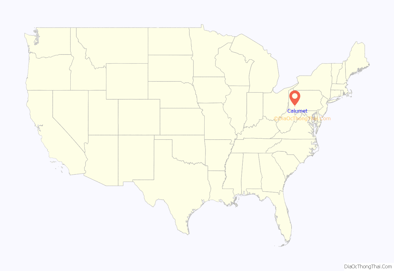
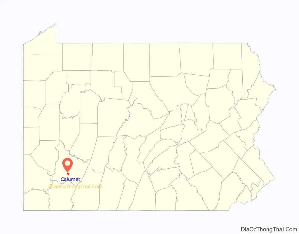
Calumet location map. Where is Calumet CDP?
History
Calumet was founded by the Calumet Coke Company in 1888 as a housing site for its workers. The community, as originally laid out, consisted of twenty double houses, twelve single-family houses, and a few commercial and industrial buildings. The workers were employed in a coal mine and also tended ovens that produced coke (fuel). During the Bituminous Coal Miners’ Strike of 1894, Calumet was the site of a bitter confrontation between the strikers and the H. C. Frick Coke Company, which at that time was part-owner of Calumet Coke Company.
The coke works closed in the 1920s, and the mine closed in the early 1930s during the Great Depression, causing enormous hardship for the community’s workers.
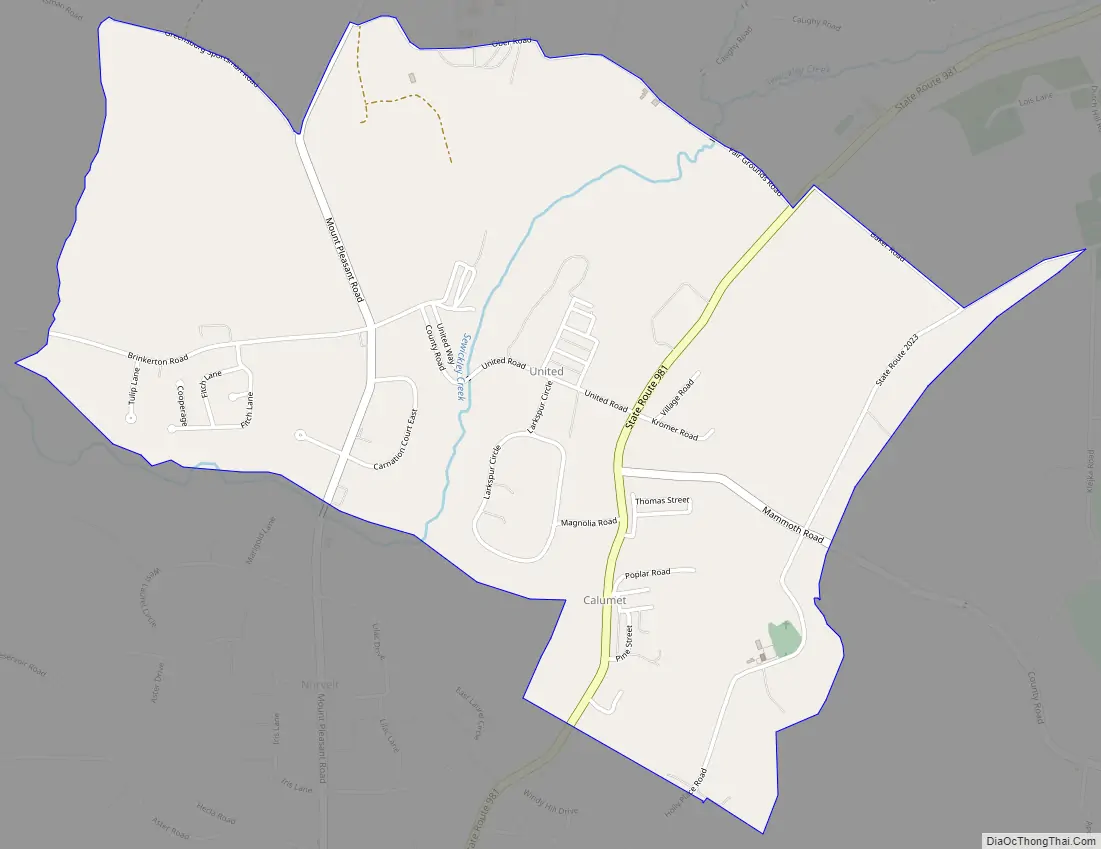
Calumet Road Map
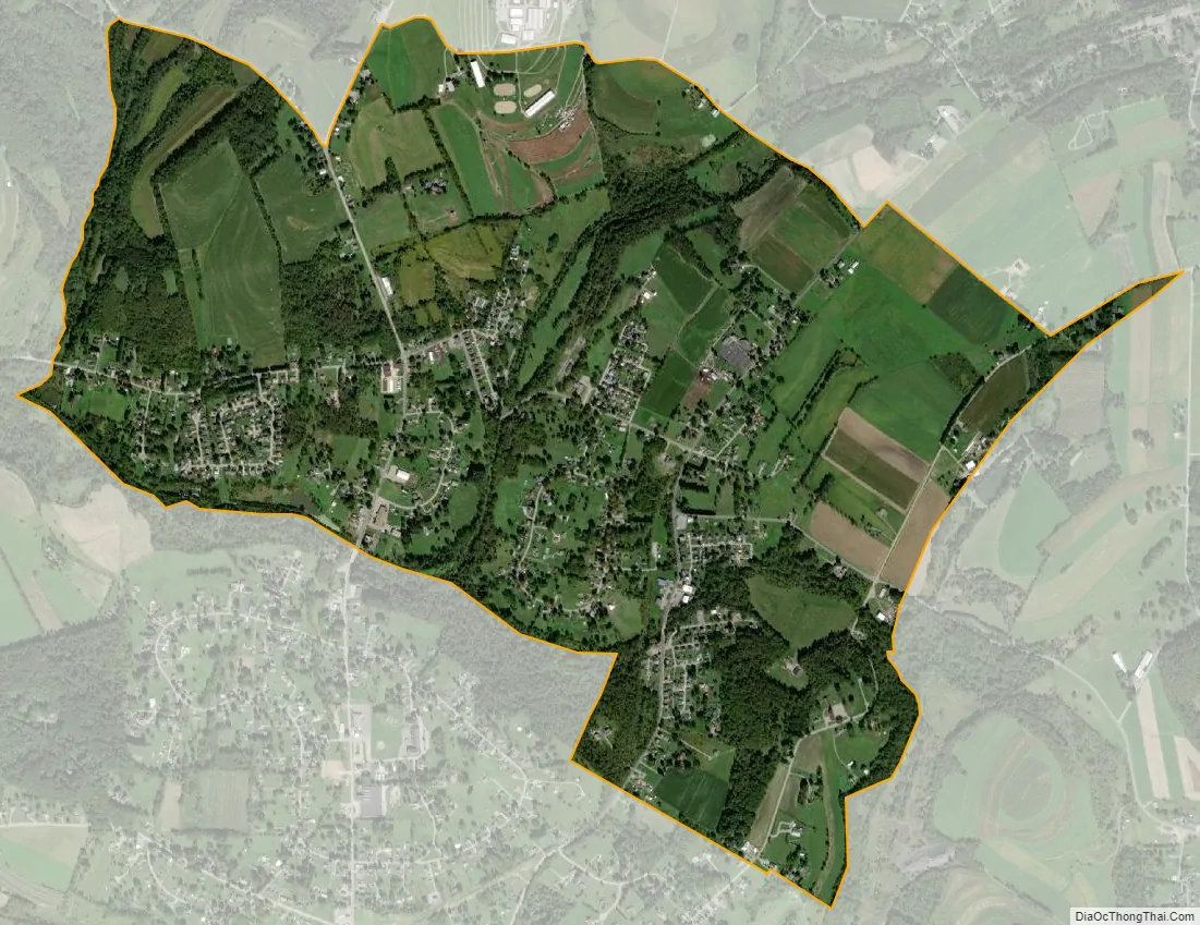
Calumet city Satellite Map
See also
Map of Pennsylvania State and its subdivision:- Adams
- Allegheny
- Armstrong
- Beaver
- Bedford
- Berks
- Blair
- Bradford
- Bucks
- Butler
- Cambria
- Cameron
- Carbon
- Centre
- Chester
- Clarion
- Clearfield
- Clinton
- Columbia
- Crawford
- Cumberland
- Dauphin
- Delaware
- Elk
- Erie
- Fayette
- Forest
- Franklin
- Fulton
- Greene
- Huntingdon
- Indiana
- Jefferson
- Juniata
- Lackawanna
- Lancaster
- Lawrence
- Lebanon
- Lehigh
- Luzerne
- Lycoming
- Mc Kean
- Mercer
- Mifflin
- Monroe
- Montgomery
- Montour
- Northampton
- Northumberland
- Perry
- Philadelphia
- Pike
- Potter
- Schuylkill
- Snyder
- Somerset
- Sullivan
- Susquehanna
- Tioga
- Union
- Venango
- Warren
- Washington
- Wayne
- Westmoreland
- Wyoming
- York
- Alabama
- Alaska
- Arizona
- Arkansas
- California
- Colorado
- Connecticut
- Delaware
- District of Columbia
- Florida
- Georgia
- Hawaii
- Idaho
- Illinois
- Indiana
- Iowa
- Kansas
- Kentucky
- Louisiana
- Maine
- Maryland
- Massachusetts
- Michigan
- Minnesota
- Mississippi
- Missouri
- Montana
- Nebraska
- Nevada
- New Hampshire
- New Jersey
- New Mexico
- New York
- North Carolina
- North Dakota
- Ohio
- Oklahoma
- Oregon
- Pennsylvania
- Rhode Island
- South Carolina
- South Dakota
- Tennessee
- Texas
- Utah
- Vermont
- Virginia
- Washington
- West Virginia
- Wisconsin
- Wyoming


