Castle Shannon is a borough in Allegheny County, Pennsylvania, United States, and is part of the Pittsburgh Metro Area. The population was 8,249 at the 2020 census.
| Name: | Castle Shannon borough |
|---|---|
| LSAD Code: | 21 |
| LSAD Description: | borough (suffix) |
| State: | Pennsylvania |
| County: | Allegheny County |
| Incorporated: | December 20, 1919 |
| Elevation: | 1,040 ft (320 m) |
| Total Area: | 1.60 sq mi (4.14 km²) |
| Land Area: | 1.60 sq mi (4.14 km²) |
| Water Area: | 0.00 sq mi (0.00 km²) |
| Total Population: | 8,249 |
| Population Density: | 5,162.08/sq mi (1,993.39/km²) |
| ZIP code: | 15234 |
| Area code: | 412 |
| FIPS code: | 4211680 |
| Website: | borough.castle-shannon.pa.us |
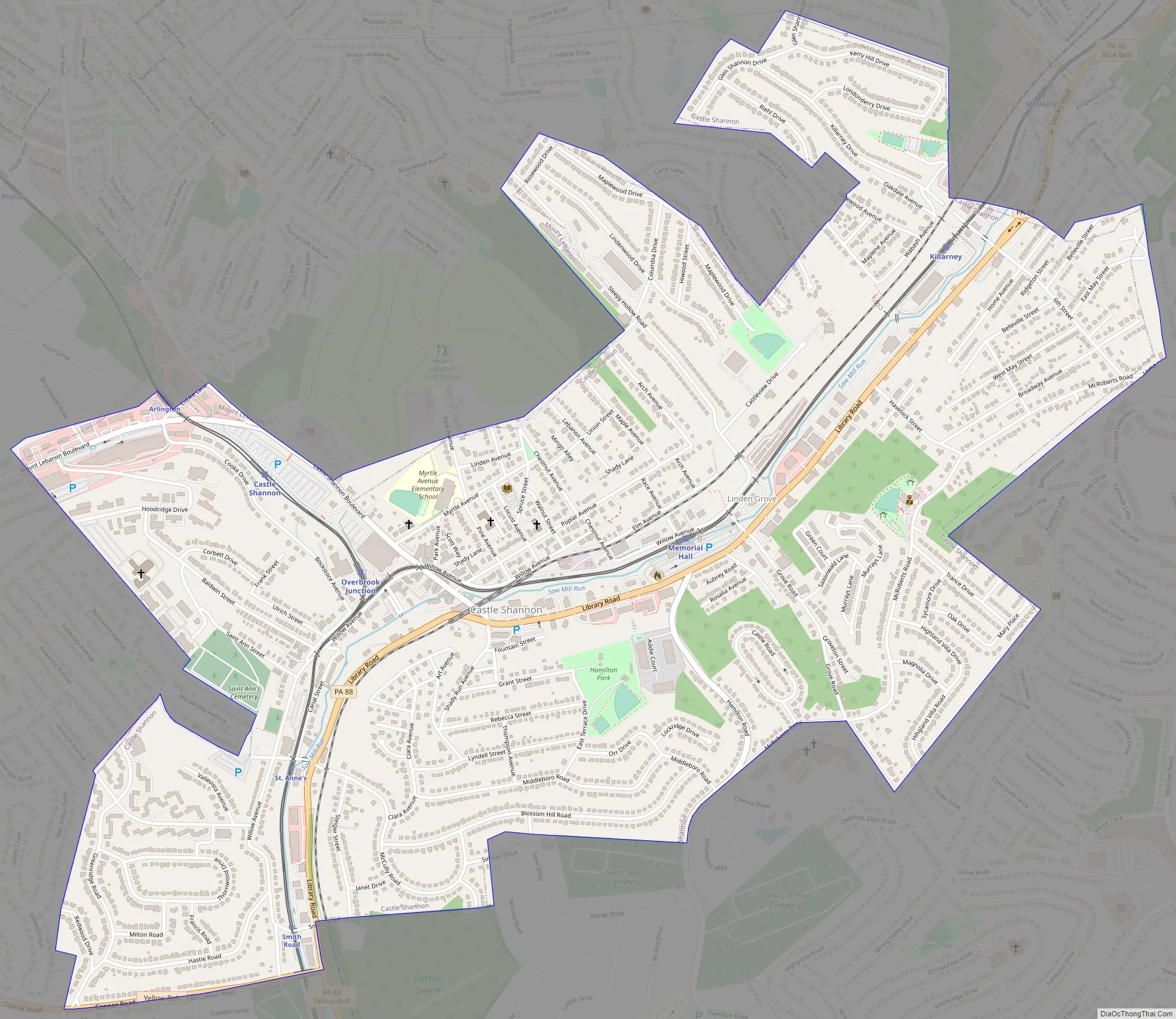
Online Interactive Map
Click on ![]() to view map in "full screen" mode.
to view map in "full screen" mode.
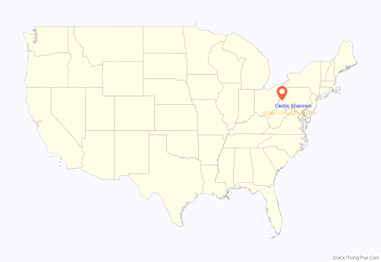
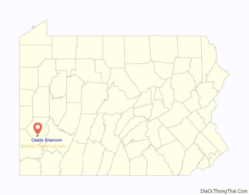
Castle Shannon location map. Where is Castle Shannon borough?
History
The first families settled Castle Shannon in 1786 in pursuit of farmland and timber and is widely assumed to be the Haas family. The most prominent farm was owned by David Strawbridge. Following common practices of Irish settlers—primarily from Ulster—in the region to name places and farms after former or ancestral homes in Ireland, he named it Castle Shanahan. Castleshanaghan is a townland in County Donegal, Ireland. Over time, the farm would lend its name to the area, as “Shanahan” would evolve into “Shannon”. In 1872, the Pittsburgh and Castle Shannon Railroad line was completed, providing a direct link from Pittsburgh to the then-village of Castle Shannon. Development was stimulated by two years of free transportation and lumber transport given to anybody building a home.
In 1877, a second railroad was built from Finleyville through Castle Shannon to the West End neighborhood of Pittsburgh. In 1909, the right of way through the valley containing Castle Shannon was purchased by the Pittsburgh Railroad. This helped lead to Castle Shannon becoming a center for coal mining, with eight mines in operation in 1904. The Pittsburgh and West Virginia Railroad, still active today, came shortly afterward.
The First National Bank in Castle Shannon was the site of a much publicized bank robbery in 1917. $18,500 was taken in the robbery, of which $10,500 was immediately recovered from one man shot during the escape. The full sum was never recovered. A group of men gathered to chase down the robber to no avail. From that group, Elmer J Zeiler, a WWI Medal of Valor winner from the US and France, and a double Purple Heart recipient, was named the first Chief of Police in Castle Shannon when the police department was formed.
Castle Shannon was incorporated as a borough in 1919, formed from parts of Baldwin Township, Mt. Lebanon, and Bethel Township.
Castle Shannon Road Map
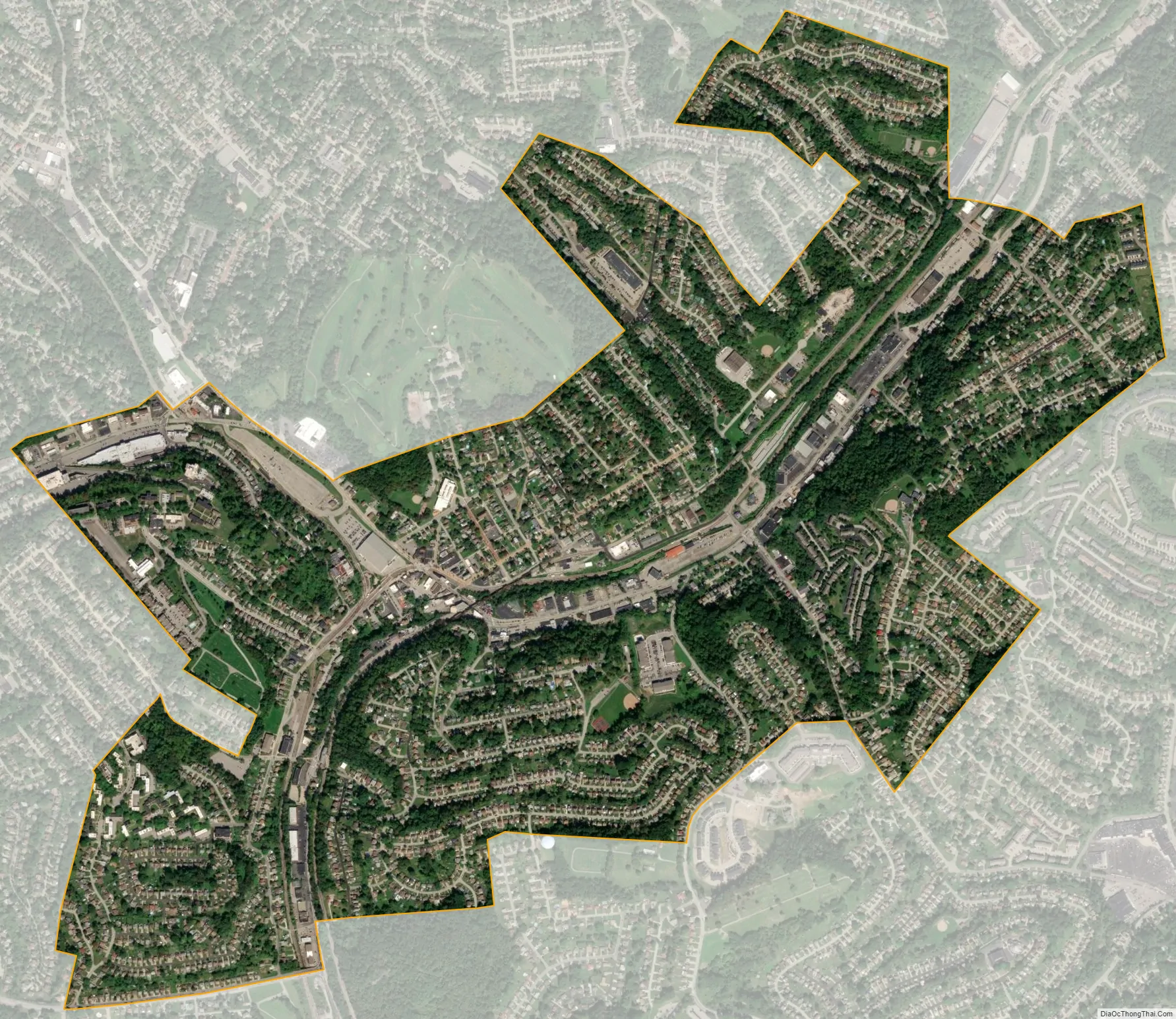
Castle Shannon city Satellite Map
Geography
According to the United States Census Bureau, the borough has a total area of 1.6 square miles (4.1 km), all land. Its average elevation is 1,040 feet (320 m) above sea level.
See also
Map of Pennsylvania State and its subdivision:- Adams
- Allegheny
- Armstrong
- Beaver
- Bedford
- Berks
- Blair
- Bradford
- Bucks
- Butler
- Cambria
- Cameron
- Carbon
- Centre
- Chester
- Clarion
- Clearfield
- Clinton
- Columbia
- Crawford
- Cumberland
- Dauphin
- Delaware
- Elk
- Erie
- Fayette
- Forest
- Franklin
- Fulton
- Greene
- Huntingdon
- Indiana
- Jefferson
- Juniata
- Lackawanna
- Lancaster
- Lawrence
- Lebanon
- Lehigh
- Luzerne
- Lycoming
- Mc Kean
- Mercer
- Mifflin
- Monroe
- Montgomery
- Montour
- Northampton
- Northumberland
- Perry
- Philadelphia
- Pike
- Potter
- Schuylkill
- Snyder
- Somerset
- Sullivan
- Susquehanna
- Tioga
- Union
- Venango
- Warren
- Washington
- Wayne
- Westmoreland
- Wyoming
- York
- Alabama
- Alaska
- Arizona
- Arkansas
- California
- Colorado
- Connecticut
- Delaware
- District of Columbia
- Florida
- Georgia
- Hawaii
- Idaho
- Illinois
- Indiana
- Iowa
- Kansas
- Kentucky
- Louisiana
- Maine
- Maryland
- Massachusetts
- Michigan
- Minnesota
- Mississippi
- Missouri
- Montana
- Nebraska
- Nevada
- New Hampshire
- New Jersey
- New Mexico
- New York
- North Carolina
- North Dakota
- Ohio
- Oklahoma
- Oregon
- Pennsylvania
- Rhode Island
- South Carolina
- South Dakota
- Tennessee
- Texas
- Utah
- Vermont
- Virginia
- Washington
- West Virginia
- Wisconsin
- Wyoming


