Charleroi (/ˈʃɑːrlərɔɪ/ SHAR-lə-roy) is a borough in Washington County, Pennsylvania, United States, along the Monongahela River, 21 miles south of Pittsburgh. Charleroi was settled by Walloons in 1890 and incorporated in 1891. The 2020 census recorded a population of 4,210.
There has been a large-scale cessation of industrial activities in the region. The decrease in the population is associated with the decline of regional heavy and medium industries, especially the steel-making industry, all once fed by the cheap transportation on the Monongahela River which extends from upstream of Charleroi well into northern West Virginia and north & downstream past McKeesport to the mouth of the Monongahela at Pittsburgh. Colloquially, the stretch from Charleroi north to McKeesport (historically because of press coverage of High School sports leagues), is known as the “Mon Valley”; or by some speakers (politicians, reporters and weathermen), the school-league-term has long been extended to mean from the river mouth to northern West Virginia. Once dubbed “Magic City”, Charleroi has in recent years seen a gradual revitalization of its business district.
| Name: | Charleroi borough |
|---|---|
| LSAD Code: | 21 |
| LSAD Description: | borough (suffix) |
| State: | Pennsylvania |
| County: | Washington County |
| Total Area: | 0.86 sq mi (2.23 km²) |
| Land Area: | 0.76 sq mi (1.97 km²) |
| Water Area: | 0.10 sq mi (0.26 km²) |
| Total Population: | 4,234 |
| Population Density: | 5,556.43/sq mi (2,144.98/km²) |
| Area code: | 724, 878 |
| FIPS code: | 4212704 |
| Website: | www.charleroiboro.org |
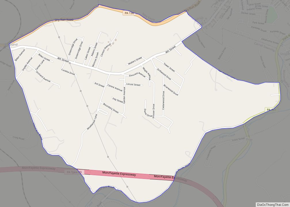
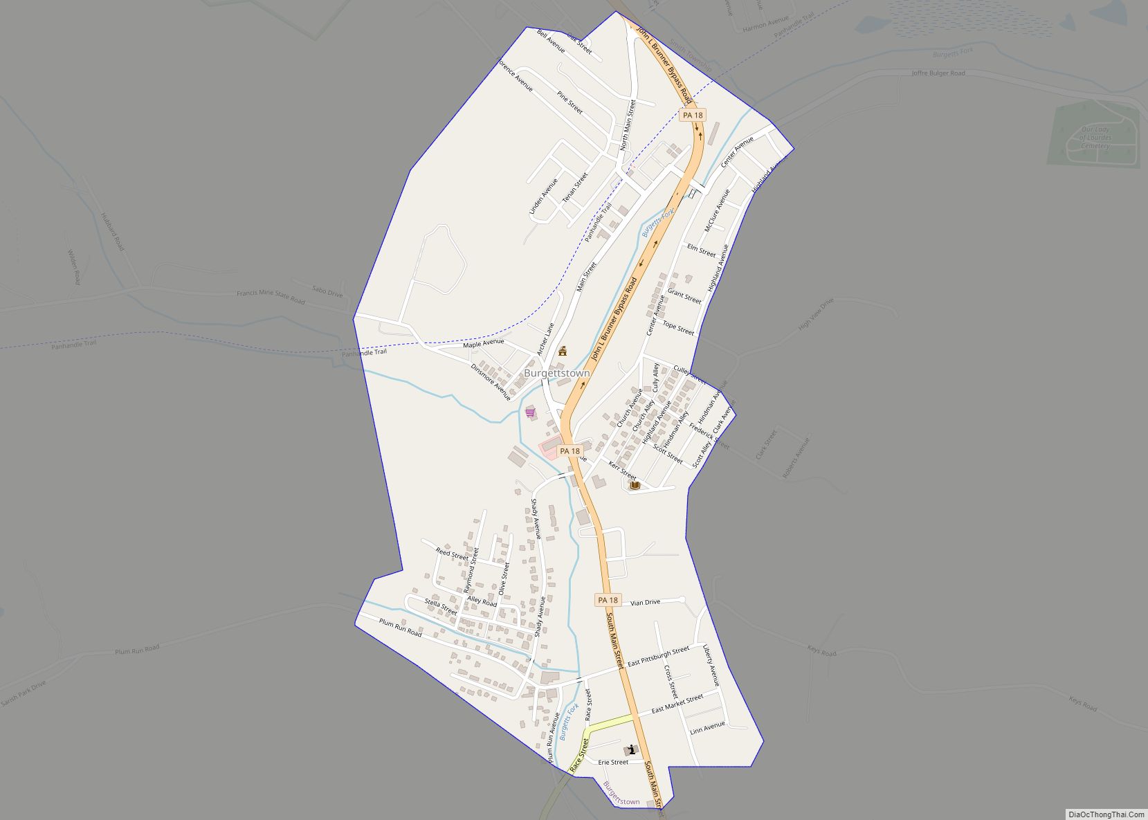
Online Interactive Map
Click on ![]() to view map in "full screen" mode.
to view map in "full screen" mode.
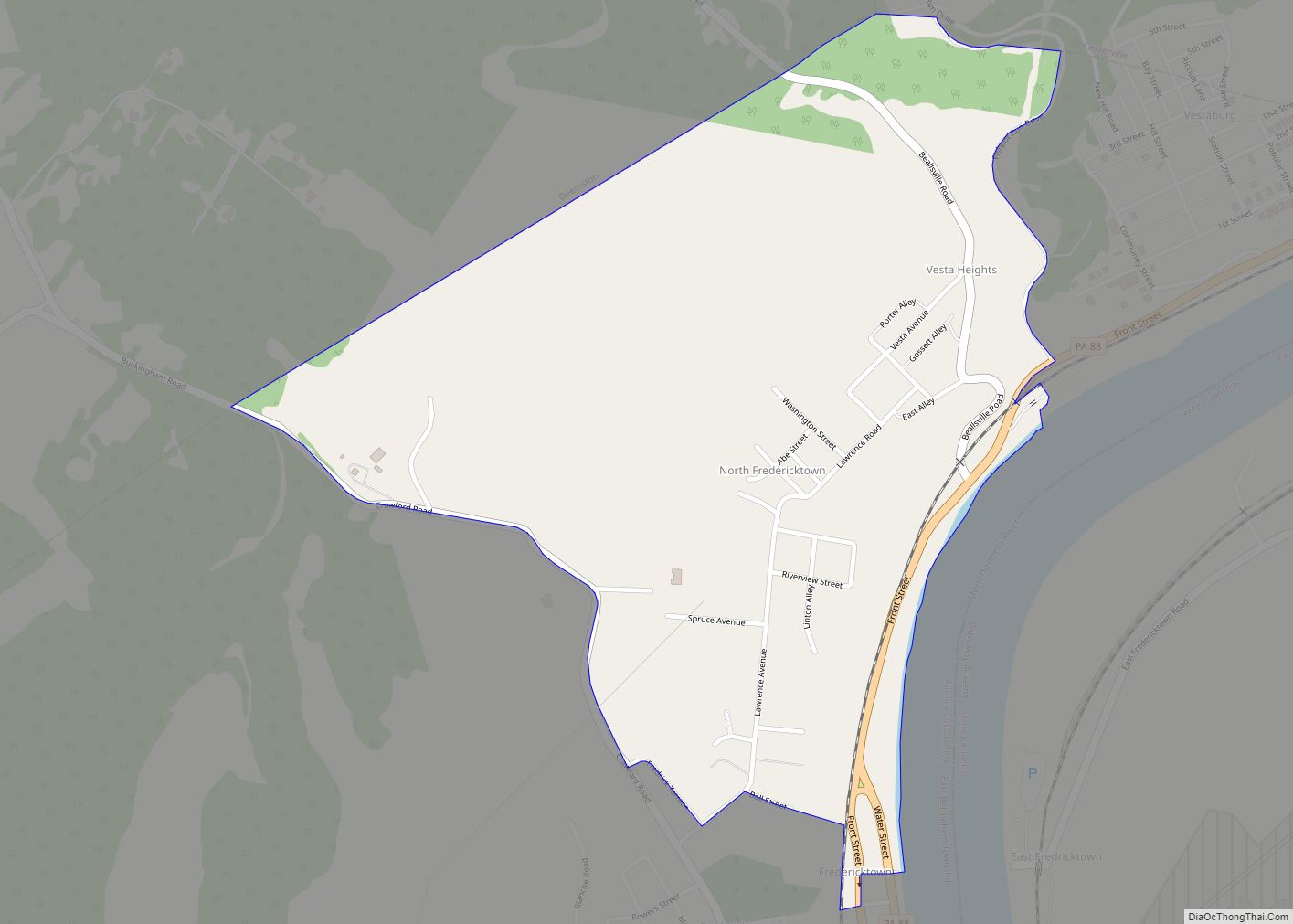
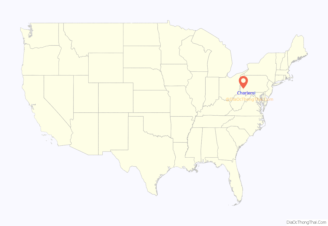
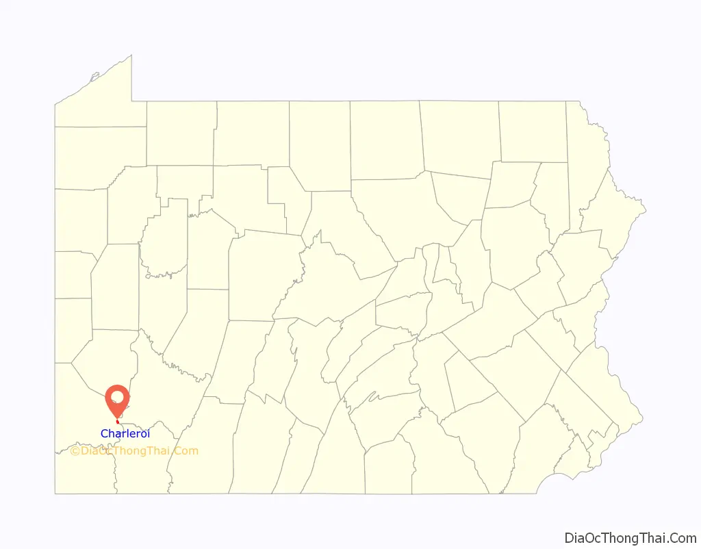
Charleroi location map. Where is Charleroi borough?
History
Charleroi got its name from the Belgian city of Charleroi. There lived many Belgian immigrants in the Monongahela area at the end of the 19th century, some of whom were glass makers.
The Pittsburgh Plate Glass Company, today PPG Industries, had one of its major factories located at the current chamber plaza, at one point employing up to a thousand employees, making it one of the largest glass factories in the world at the time. For years it was the home to one of Corning Glass Companies leading employers. Today it is home to Corelle Brands, which makes Pyrex. In celebration of the 100th anniversary of Pyrex products, Charleroi renamed itself “Pyrex, PA” for 100 days in 2015.
Charleroi was home to one of the first movie theatres in the nation, the Electric Theatre at 520 McKean Avenue, which opened in October 1905 and has since been demolished. The Charleroi Historic District, First National Bank of Charleroi and United States Post Office are listed on the National Register of Historic Places.
In 2020, Paul Magnette, mayor of Charleroi (Belgium) visited the town that was founded by migrants from his city.
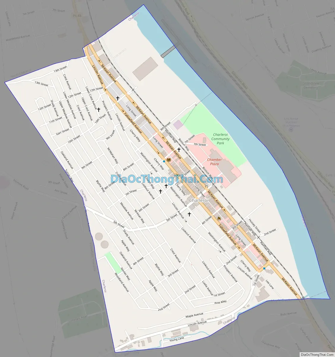
Charleroi Road Map
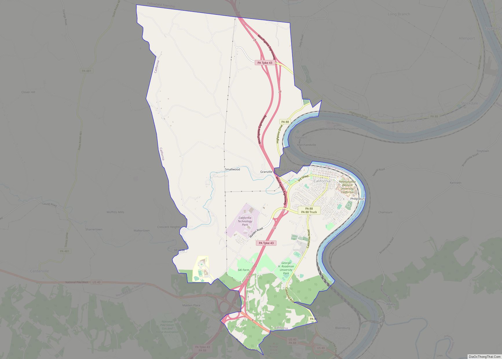
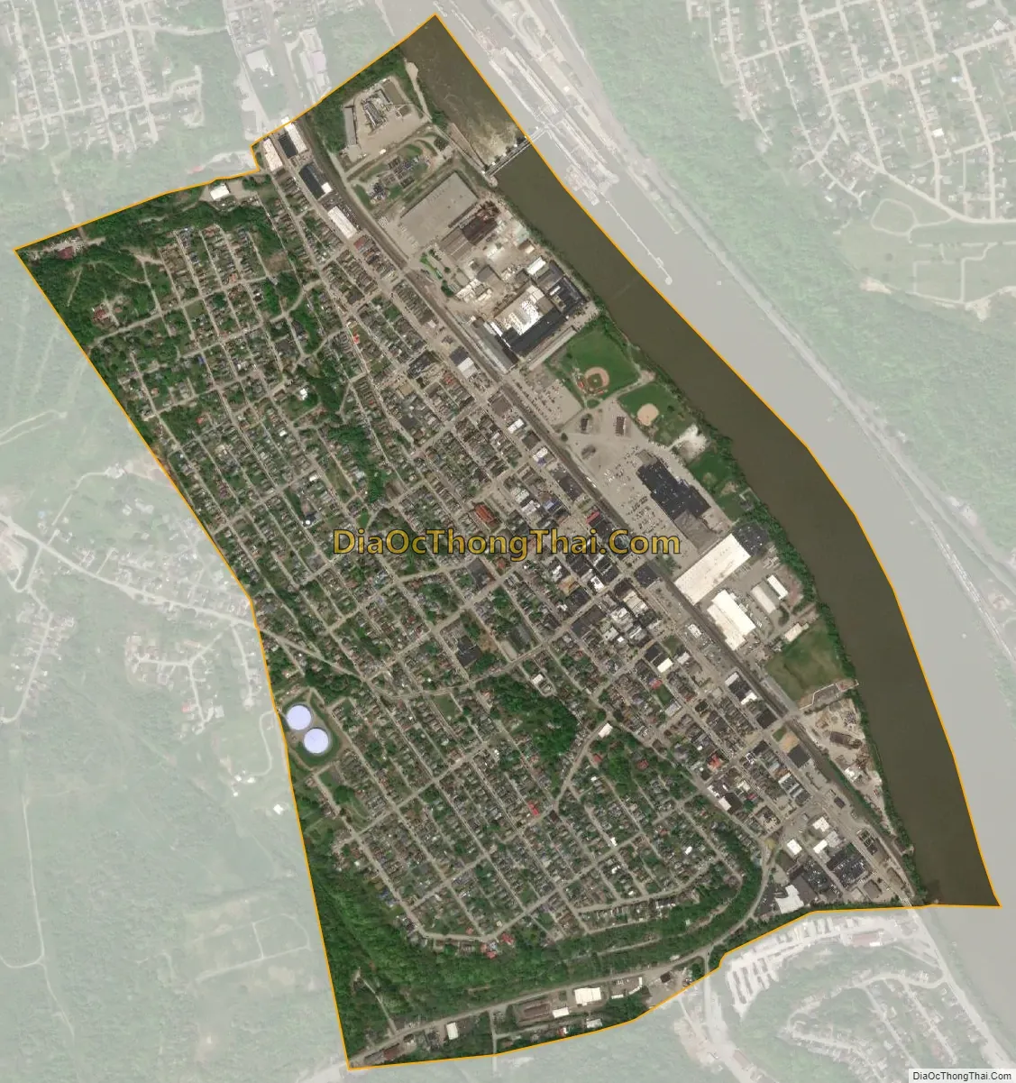
Charleroi city Satellite Map
Geography
Charleroi is located at 40°8′17″N 79°54′5″W / 40.13806°N 79.90139°W / 40.13806; -79.90139 (40.138088, -79.901333). According to the U.S. Census Bureau, the borough has a total area of 0.9 square miles (2.3 km), of which 0.8 square miles (2.1 km) is land and 0.1 square miles (0.26 km) is water. The total area is 10.47% water.
See also
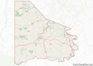
Map of Pennsylvania State and its subdivision:- Adams
- Allegheny
- Armstrong
- Beaver
- Bedford
- Berks
- Blair
- Bradford
- Bucks
- Butler
- Cambria
- Cameron
- Carbon
- Centre
- Chester
- Clarion
- Clearfield
- Clinton
- Columbia
- Crawford
- Cumberland
- Dauphin
- Delaware
- Elk
- Erie
- Fayette
- Forest
- Franklin
- Fulton
- Greene
- Huntingdon
- Indiana
- Jefferson
- Juniata
- Lackawanna
- Lancaster
- Lawrence
- Lebanon
- Lehigh
- Luzerne
- Lycoming
- Mc Kean
- Mercer
- Mifflin
- Monroe
- Montgomery
- Montour
- Northampton
- Northumberland
- Perry
- Philadelphia
- Pike
- Potter
- Schuylkill
- Snyder
- Somerset
- Sullivan
- Susquehanna
- Tioga
- Union
- Venango
- Warren
- Washington
- Wayne
- Westmoreland
- Wyoming
- York
- Alabama
- Alaska
- Arizona
- Arkansas
- California
- Colorado
- Connecticut
- Delaware
- District of Columbia
- Florida
- Georgia
- Hawaii
- Idaho
- Illinois
- Indiana
- Iowa
- Kansas
- Kentucky
- Louisiana
- Maine
- Maryland
- Massachusetts
- Michigan
- Minnesota
- Mississippi
- Missouri
- Montana
- Nebraska
- Nevada
- New Hampshire
- New Jersey
- New Mexico
- New York
- North Carolina
- North Dakota
- Ohio
- Oklahoma
- Oregon
- Pennsylvania
- Rhode Island
- South Carolina
- South Dakota
- Tennessee
- Texas
- Utah
- Vermont
- Virginia
- Washington
- West Virginia
- Wisconsin
- Wyoming