Clairton is a city in Allegheny County, Pennsylvania, United States. It is located along the Monongahela River and is part of the Pittsburgh Metropolitan Area. The population was 6,181 at the 2020 census. Under Pennsylvania legal classifications for local governments, Clairton is considered a third-class city. It is home to Clairton Works, the largest coke manufacturing facility in the United States.
The city was the setting for the movie The Deer Hunter (1978), although none of the movie was actually filmed there (other mill towns in the Monongahela River Valley and elsewhere in the tri-state area were used). Even the opening scene, which features a large sign saying “Welcome to Clairton, City of Prayer,” was shot in Mingo Junction, Ohio, although its phrasing is based on smaller signs posted at the city’s boundaries during the mid-1960s (as a response to the Supreme Court’s 1963 ban on sponsored school prayer).
The Montour Trail, a recreational rail-trail, extends from Clairton to Coraopolis, Pennsylvania.
| Name: | Clairton city |
|---|---|
| LSAD Code: | 25 |
| LSAD Description: | city (suffix) |
| State: | Pennsylvania |
| County: | Allegheny County |
| Incorporated: | April 12, 1903 (borough) |
| Total Area: | 3.00 sq mi (7.76 km²) |
| Land Area: | 2.77 sq mi (7.17 km²) |
| Water Area: | 0.23 sq mi (0.59 km²) |
| Total Population: | 6,181 |
| Population Density: | 2,232.21/sq mi (861.77/km²) |
| ZIP code: | 15025 |
| Area code: | 412 |
| FIPS code: | 4213704 |
| Website: | www.cityofclairton.com |
Online Interactive Map
Click on ![]() to view map in "full screen" mode.
to view map in "full screen" mode.
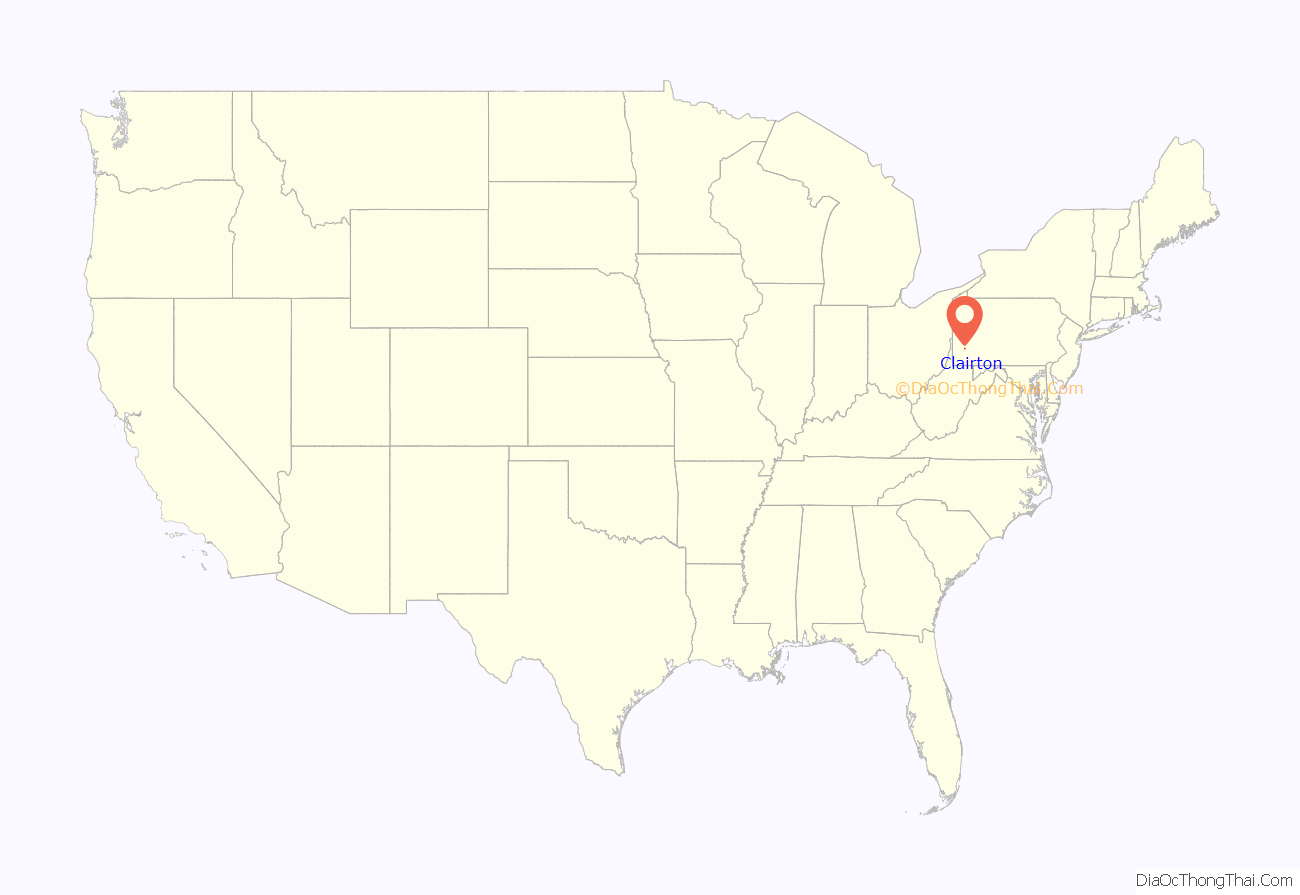
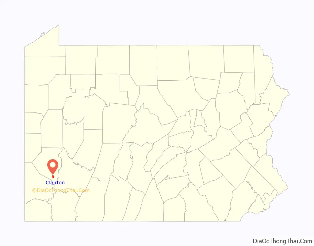
Clairton location map. Where is Clairton city?
History
Clairton’s existence dates to just after the turn of the 20th century, when the Crucible Steel Company acquired a large tract along the west side of the Monongahela River, approximately 13 miles (21 km) south of Pittsburgh. Soon after, the Carnegie Steel Company (later U.S. Steel) built an integrated steel mill and coke production facility, which eventually became one of the world’s largest.
The site had more than 1,000 acres (4.0 km) of level land suitable for a large industrial complex. On April 12, 1903, Clairton was incorporated as a borough, and on January 1, 1922, Clairton was incorporated as a City of the Third Class with a population of approximately 11,000. This incorporation was prompted by industry, which was taxed by the three boroughs – Clairton, Wilson and North Clairton – which were chartered separately prior to the incorporation of the City of Clairton.
During the next several decades, growth and advancement indicated a thriving city. As the steel mill and coke production facilities expanded, the population of Clairton grew. Clairton took on a life of its own, including a business district and educational, religious, and cultural facilities. The city peaked in the late 1950s, and has been in decline since.
In the late 1950s, Clairton High School (CHS) had a large student body, and the city had a “feeder” system of public and parochial elementary schools. The CHS student body was soon siphoned off, however, by new schools in Elizabeth Borough, Snowden Township, and Jefferson Borough. During the mid-1950s and into the 1960s, CHS was a Class AAA competitor in the formidable Western Pennsylvania Interscholastic Athletic League (WPIAL), playing against high schools in other mill towns up and down the Monongahela River Valley.
With the decline of the steel industry in the 1980s, Clairton began to experience severe problems in its employment and tax base, which spurred a major economic shock to the community. In 1988, Clairton was designated a distressed municipality by Pennsylvania’s Department of Community Affairs (DCA). Pursuant to Act 47 of 1987 (the Financially Distressed Municipalities Act), DCA commissioned the development of a recovery plan for Clairton. By 1988, the Clairton School District had consolidated its entire system into a single building (a remodeled version of the high school) and closed its other schools. Clairton High now competes at the Class A level in the WPIAL. The high school football team has had national prominence for recent success.
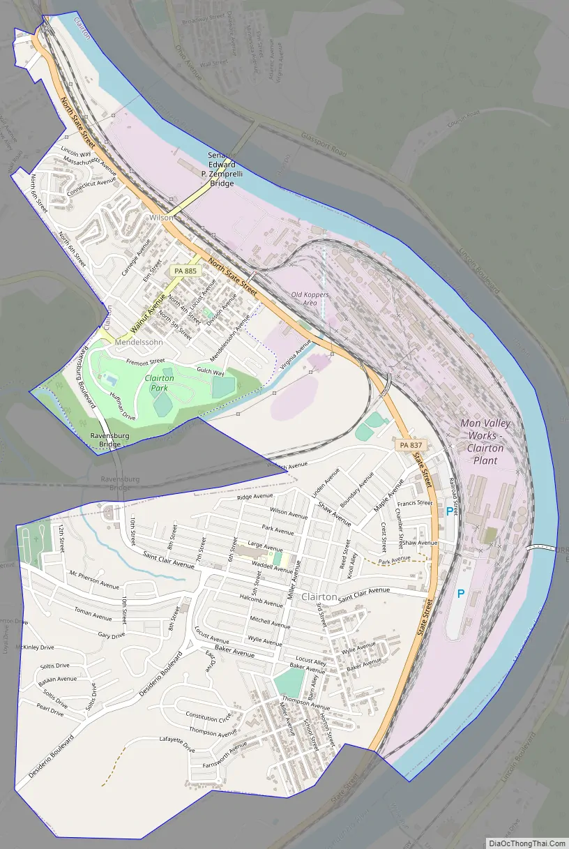
Clairton Road Map
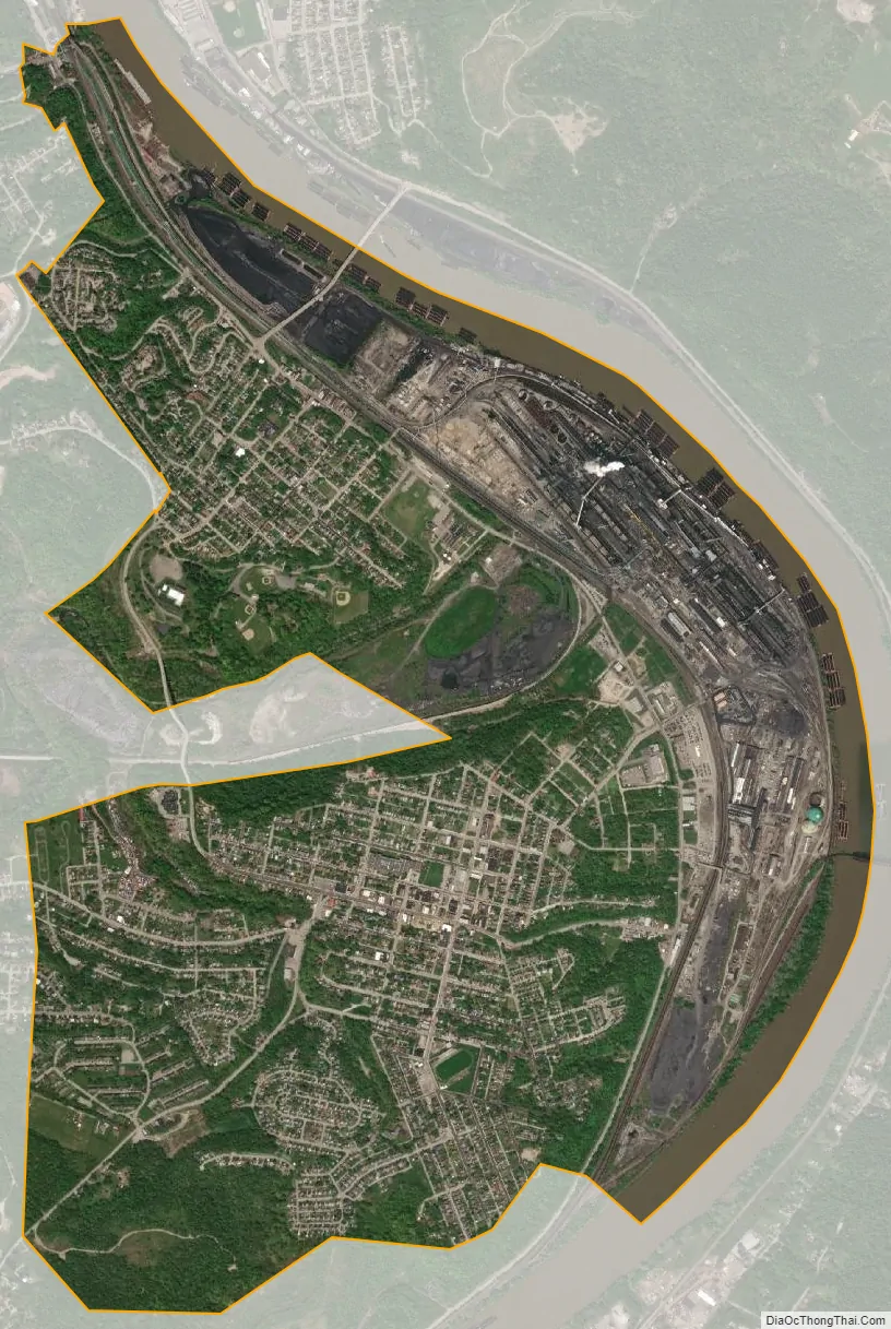
Clairton city Satellite Map
Geography
Clairton is located at 40°17′47″N 79°53′14″W / 40.29639°N 79.88722°W / 40.29639; -79.88722 (40.296419, -79.887090).
According to the U.S. Census Bureau, the city has a total area of 3.0 square miles (7.8 km), of which 2.8 square miles (7.3 km) is land, and 0.2 square miles (0.52 km) (8.31%) is water.
See also
Map of Pennsylvania State and its subdivision:- Adams
- Allegheny
- Armstrong
- Beaver
- Bedford
- Berks
- Blair
- Bradford
- Bucks
- Butler
- Cambria
- Cameron
- Carbon
- Centre
- Chester
- Clarion
- Clearfield
- Clinton
- Columbia
- Crawford
- Cumberland
- Dauphin
- Delaware
- Elk
- Erie
- Fayette
- Forest
- Franklin
- Fulton
- Greene
- Huntingdon
- Indiana
- Jefferson
- Juniata
- Lackawanna
- Lancaster
- Lawrence
- Lebanon
- Lehigh
- Luzerne
- Lycoming
- Mc Kean
- Mercer
- Mifflin
- Monroe
- Montgomery
- Montour
- Northampton
- Northumberland
- Perry
- Philadelphia
- Pike
- Potter
- Schuylkill
- Snyder
- Somerset
- Sullivan
- Susquehanna
- Tioga
- Union
- Venango
- Warren
- Washington
- Wayne
- Westmoreland
- Wyoming
- York
- Alabama
- Alaska
- Arizona
- Arkansas
- California
- Colorado
- Connecticut
- Delaware
- District of Columbia
- Florida
- Georgia
- Hawaii
- Idaho
- Illinois
- Indiana
- Iowa
- Kansas
- Kentucky
- Louisiana
- Maine
- Maryland
- Massachusetts
- Michigan
- Minnesota
- Mississippi
- Missouri
- Montana
- Nebraska
- Nevada
- New Hampshire
- New Jersey
- New Mexico
- New York
- North Carolina
- North Dakota
- Ohio
- Oklahoma
- Oregon
- Pennsylvania
- Rhode Island
- South Carolina
- South Dakota
- Tennessee
- Texas
- Utah
- Vermont
- Virginia
- Washington
- West Virginia
- Wisconsin
- Wyoming


