Colver is an unincorporated community and census-designated place (CDP) in Cambria County, Pennsylvania, United States. The population was 959 at the 2010 census.
Colver got its name from B. Dawson Coleman and John Heisley Weaver, using the first three letters of Coleman and the last three letters of Weaver. Revloc is the reverse spelling of Colver.
| Name: | Colver CDP |
|---|---|
| LSAD Code: | 57 |
| LSAD Description: | CDP (suffix) |
| State: | Pennsylvania |
| County: | Cambria County |
| Elevation: | 2,172 ft (662 m) |
| Total Area: | 1.26 sq mi (3.27 km²) |
| Land Area: | 1.26 sq mi (3.27 km²) |
| Water Area: | 0.00 sq mi (0.00 km²) |
| Total Population: | 904 |
| Population Density: | 715.76/sq mi (276.26/km²) |
| ZIP code: | 15927 |
| FIPS code: | 4215416 |
| GNISfeature ID: | 2389349 |
Online Interactive Map
Click on ![]() to view map in "full screen" mode.
to view map in "full screen" mode.
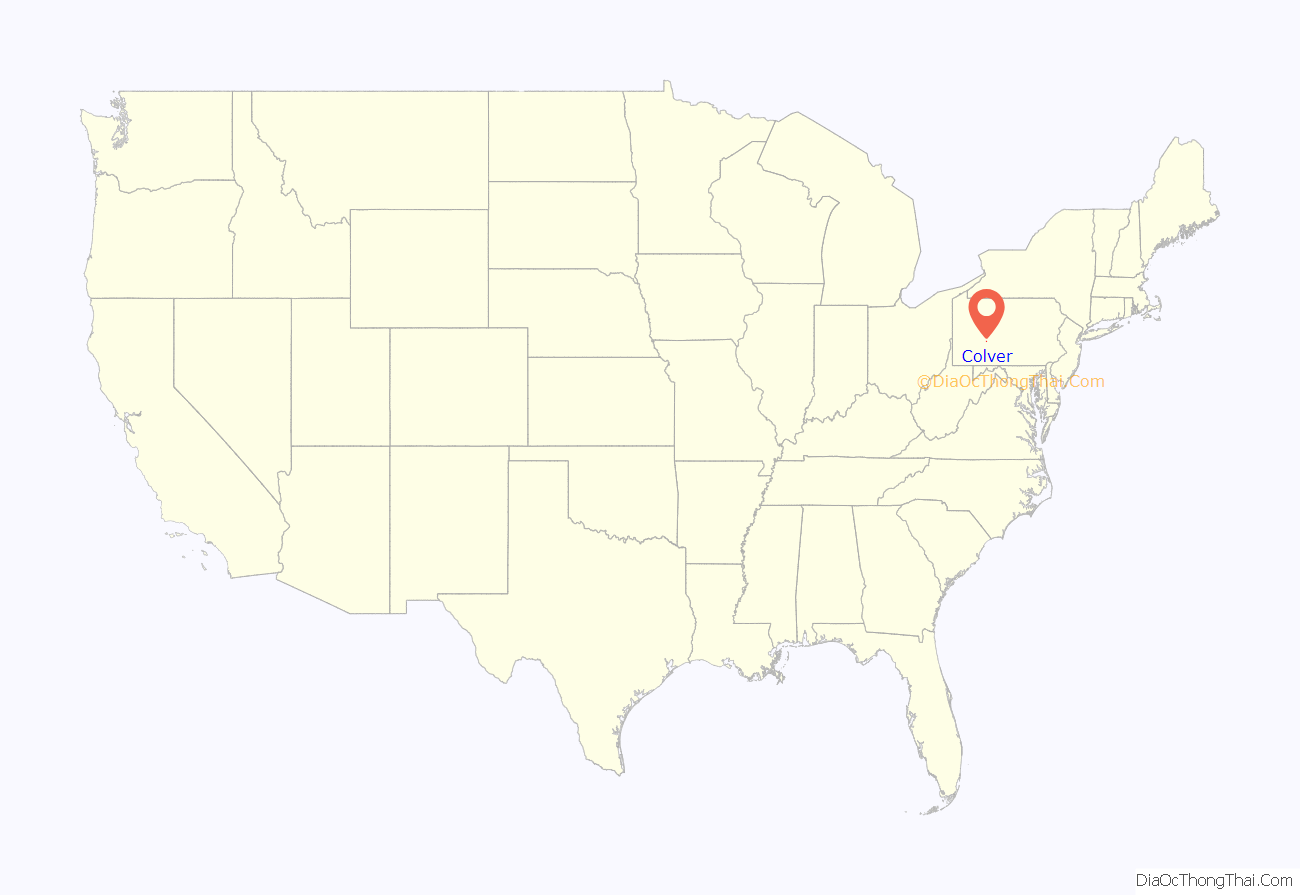
Colver location map. Where is Colver CDP?
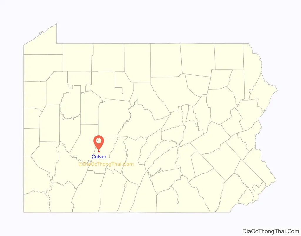
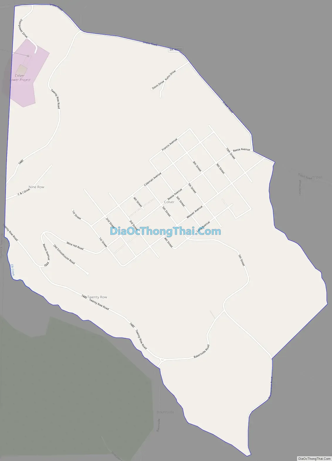
Colver Road Map
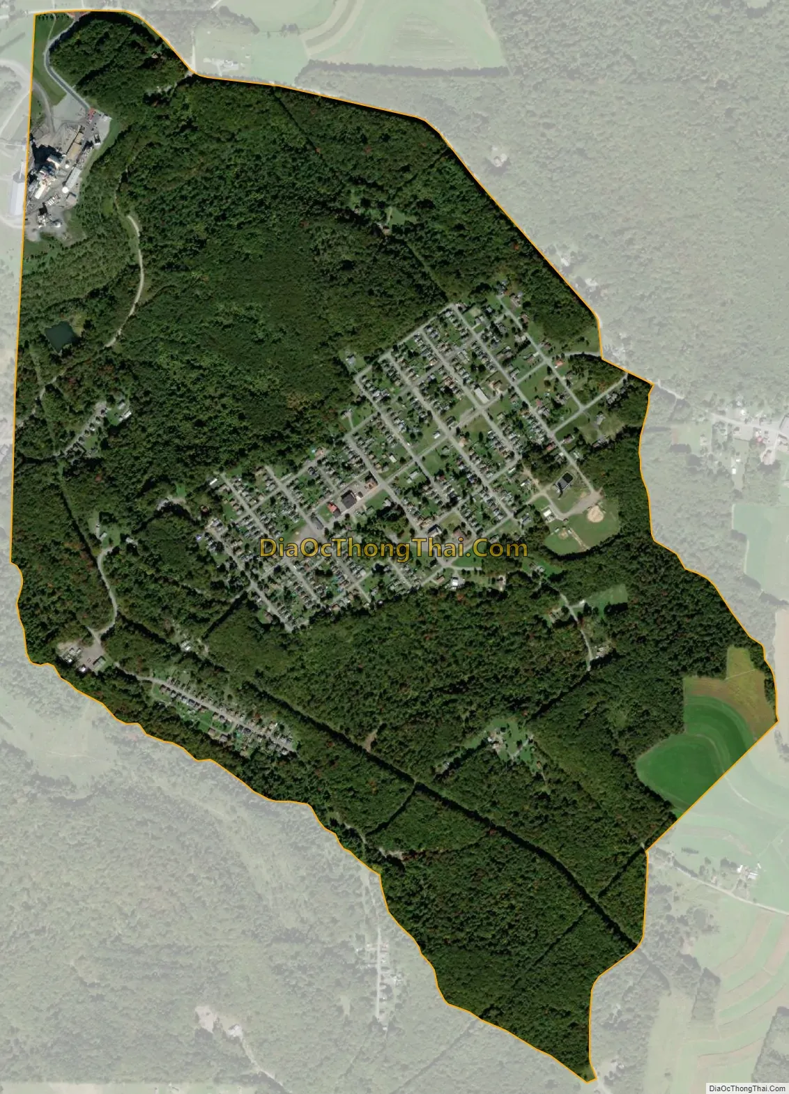
Colver city Satellite Map
Geography
Colver is located in central Cambria County at 40°32′35″N 78°47′14″W / 40.54306°N 78.78722°W / 40.54306; -78.78722 (40.542992, -78.787314). It is in the northwestern part of Cambria Township, 7 miles (11 km) northwest of Ebensburg, the county seat.
According to the United States Census Bureau, the Colver CDP has a total area of 1.3 square miles (3.3 km), all land.
See also
Map of Pennsylvania State and its subdivision:- Adams
- Allegheny
- Armstrong
- Beaver
- Bedford
- Berks
- Blair
- Bradford
- Bucks
- Butler
- Cambria
- Cameron
- Carbon
- Centre
- Chester
- Clarion
- Clearfield
- Clinton
- Columbia
- Crawford
- Cumberland
- Dauphin
- Delaware
- Elk
- Erie
- Fayette
- Forest
- Franklin
- Fulton
- Greene
- Huntingdon
- Indiana
- Jefferson
- Juniata
- Lackawanna
- Lancaster
- Lawrence
- Lebanon
- Lehigh
- Luzerne
- Lycoming
- Mc Kean
- Mercer
- Mifflin
- Monroe
- Montgomery
- Montour
- Northampton
- Northumberland
- Perry
- Philadelphia
- Pike
- Potter
- Schuylkill
- Snyder
- Somerset
- Sullivan
- Susquehanna
- Tioga
- Union
- Venango
- Warren
- Washington
- Wayne
- Westmoreland
- Wyoming
- York
- Alabama
- Alaska
- Arizona
- Arkansas
- California
- Colorado
- Connecticut
- Delaware
- District of Columbia
- Florida
- Georgia
- Hawaii
- Idaho
- Illinois
- Indiana
- Iowa
- Kansas
- Kentucky
- Louisiana
- Maine
- Maryland
- Massachusetts
- Michigan
- Minnesota
- Mississippi
- Missouri
- Montana
- Nebraska
- Nevada
- New Hampshire
- New Jersey
- New Mexico
- New York
- North Carolina
- North Dakota
- Ohio
- Oklahoma
- Oregon
- Pennsylvania
- Rhode Island
- South Carolina
- South Dakota
- Tennessee
- Texas
- Utah
- Vermont
- Virginia
- Washington
- West Virginia
- Wisconsin
- Wyoming


