Conneautville is a borough in Crawford County, Pennsylvania, United States, situated along Conneaut Creek. The population was 737 at the 2020 census, down from 774 at the 2010 census.
| Name: | Conneautville borough |
|---|---|
| LSAD Code: | 21 |
| LSAD Description: | borough (suffix) |
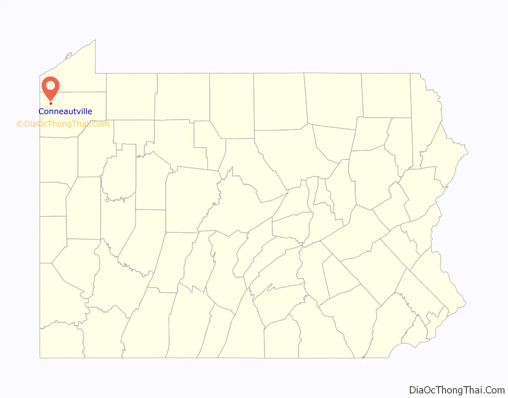
| State: | Pennsylvania |
| County: | Crawford County |
| Founded: | 1843 |
| Total Area: | 1.12 sq mi (2.90 km²) |
| Land Area: | 1.11 sq mi (2.88 km²) |
| Water Area: | 0.01 sq mi (0.01 km²) |
| Total Population: | 739 |
| Population Density: | 663.97/sq mi (256.47/km²) |
| Area code: | 814 |
| FIPS code: | 4215760 |
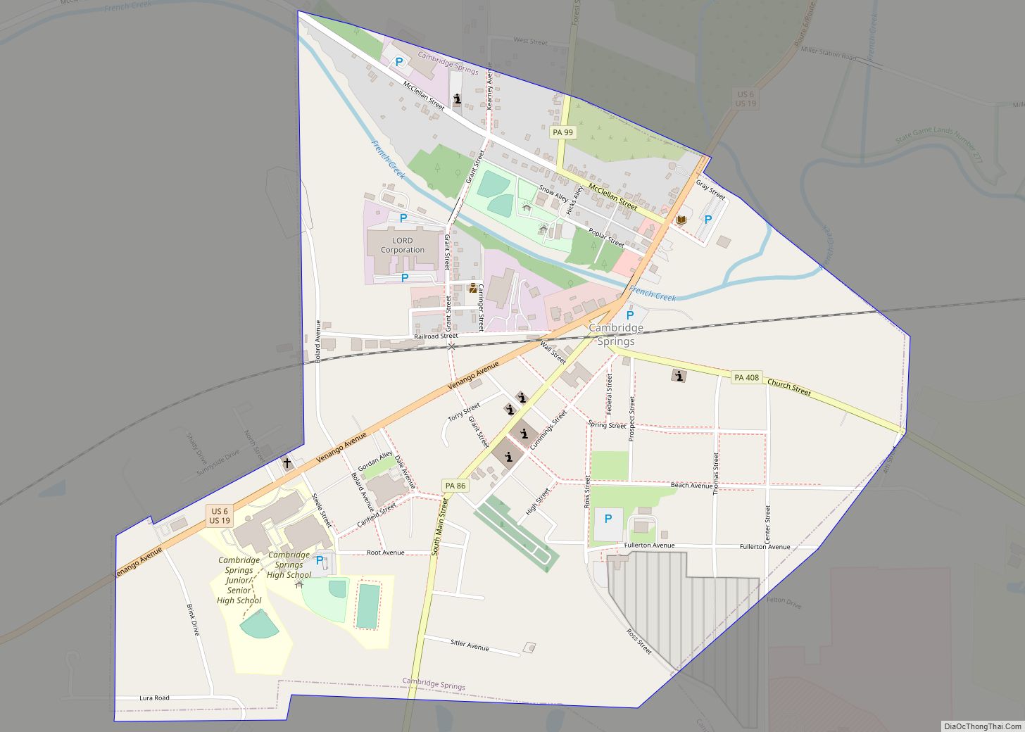
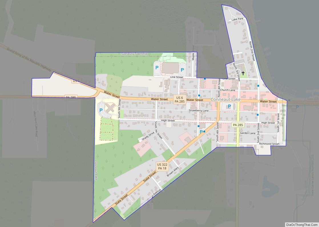
Online Interactive Map
Click on ![]() to view map in "full screen" mode.
to view map in "full screen" mode.
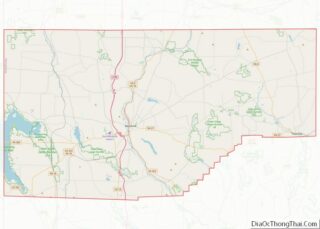
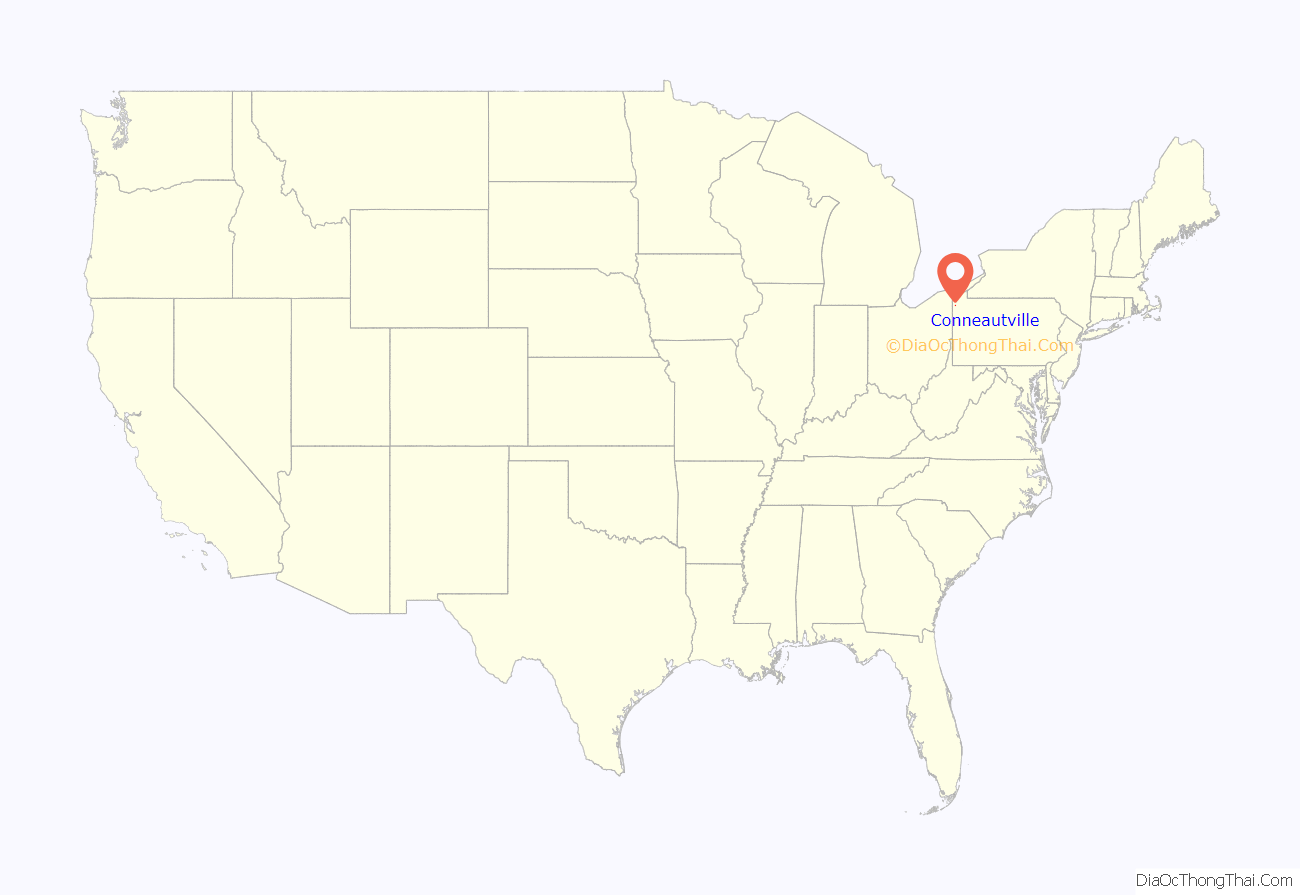
Conneautville location map. Where is Conneautville borough?
History
Conneautville was founded in 1814 by Alexander Power, a surveyor and engineer. Conneautville was first called “Powerstown” or made reference to as “Power’s Tract”. Power wanted it called “Conneautville” after the Seneca name Conneaut or Conneautee, meaning “Snow Place” according to one interpretation.
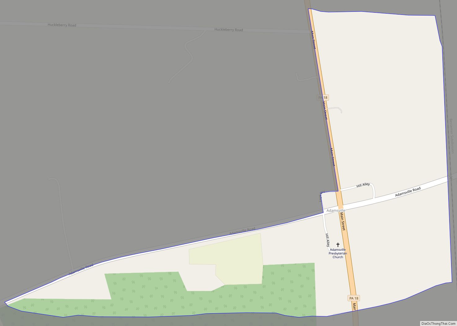
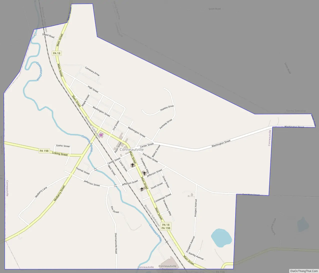
Conneautville Road Map
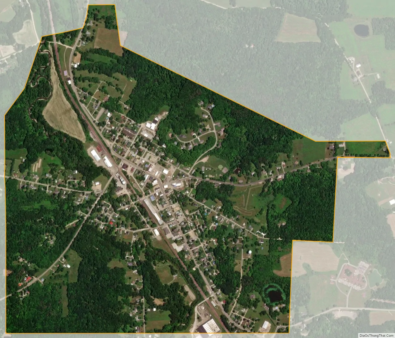
Conneautville city Satellite Map
Geography
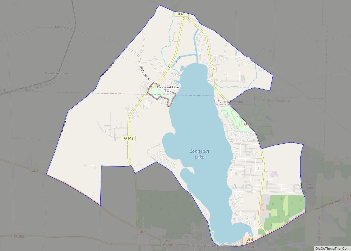
Conneautville is in northwestern Crawford County at 41°45′29″N 80°22′10″W / 41.75806°N 80.36944°W / 41.75806; -80.36944 (41.758019, -80.369470), in the valley of Conneaut Creek, which flows north and west to Lake Erie. The borough is bordered by Spring Township to the north and Summerhill Township to the south.
Pennsylvania Route 18 passes through the center of the borough, leading north 10 miles (16 km) to Albion and south 11 miles (18 km) to Conneaut Lake. Pennsylvania Route 198 leads west from Conneautville 8 miles (13 km) to the Ohio border and east 9 miles (14 km) to Interstate 79 near Saegertown.
According to the United States Census Bureau, Conneautville has a total area of 1.0 square mile (2.7 km), of which 0.004 square miles (0.01 km), or 0.55%, is water.
See also
Map of Pennsylvania State and its subdivision:- Adams
- Allegheny
- Armstrong
- Beaver
- Bedford
- Berks
- Blair
- Bradford
- Bucks
- Butler
- Cambria
- Cameron
- Carbon
- Centre
- Chester
- Clarion
- Clearfield
- Clinton
- Columbia
- Crawford
- Cumberland
- Dauphin
- Delaware
- Elk
- Erie
- Fayette
- Forest
- Franklin
- Fulton
- Greene
- Huntingdon
- Indiana
- Jefferson
- Juniata
- Lackawanna
- Lancaster
- Lawrence
- Lebanon
- Lehigh
- Luzerne
- Lycoming
- Mc Kean
- Mercer
- Mifflin
- Monroe
- Montgomery
- Montour
- Northampton
- Northumberland
- Perry
- Philadelphia
- Pike
- Potter
- Schuylkill
- Snyder
- Somerset
- Sullivan
- Susquehanna
- Tioga
- Union
- Venango
- Warren
- Washington
- Wayne
- Westmoreland
- Wyoming
- York
- Alabama
- Alaska
- Arizona
- Arkansas
- California
- Colorado
- Connecticut
- Delaware
- District of Columbia
- Florida
- Georgia
- Hawaii
- Idaho
- Illinois
- Indiana
- Iowa
- Kansas
- Kentucky
- Louisiana
- Maine
- Maryland
- Massachusetts
- Michigan
- Minnesota
- Mississippi
- Missouri
- Montana
- Nebraska
- Nevada
- New Hampshire
- New Jersey
- New Mexico
- New York
- North Carolina
- North Dakota
- Ohio
- Oklahoma
- Oregon
- Pennsylvania
- Rhode Island
- South Carolina
- South Dakota
- Tennessee
- Texas
- Utah
- Vermont
- Virginia
- Washington
- West Virginia
- Wisconsin
- Wyoming