Crabtree is a census-designated place (CDP) and former coal town in Salem Township, Westmoreland County, Pennsylvania, United States. The population was 277 at the 2010 census. It has its own post office, with postal code 15624.
| Name: | Crabtree CDP |
|---|---|
| LSAD Code: | 57 |
| LSAD Description: | CDP (suffix) |
| State: | Pennsylvania |
| County: | Westmoreland County |
| Total Area: | 0.09 sq mi (0.24 km²) |
| Land Area: | 0.09 sq mi (0.24 km²) |
| Water Area: | 0.00 sq mi (0.00 km²) |
| Total Population: | 201 |
| Population Density: | 2,161.29/sq mi (832.37/km²) |
| ZIP code: | 15624 |
| FIPS code: | 4216816 |
Online Interactive Map
Click on ![]() to view map in "full screen" mode.
to view map in "full screen" mode.
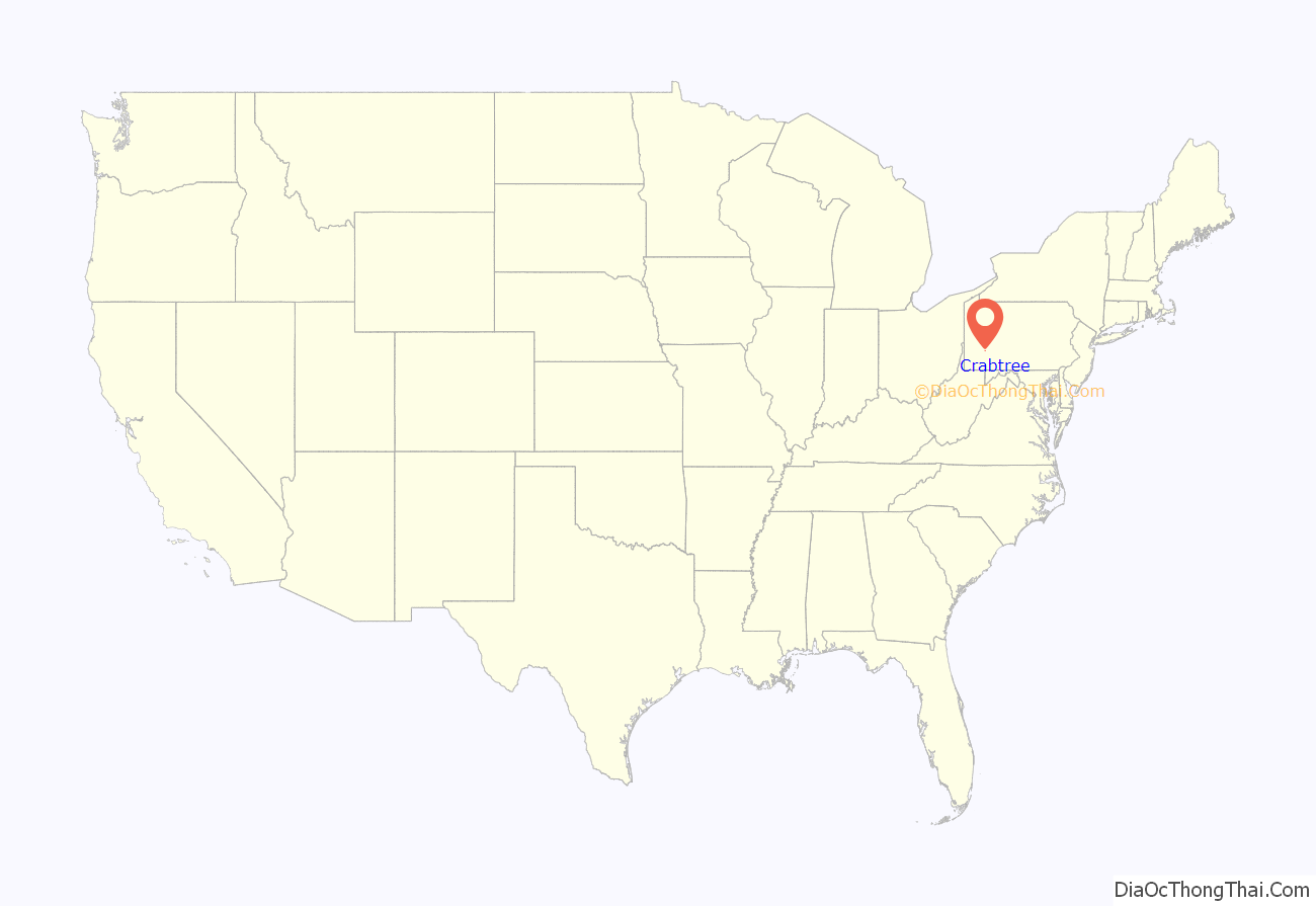
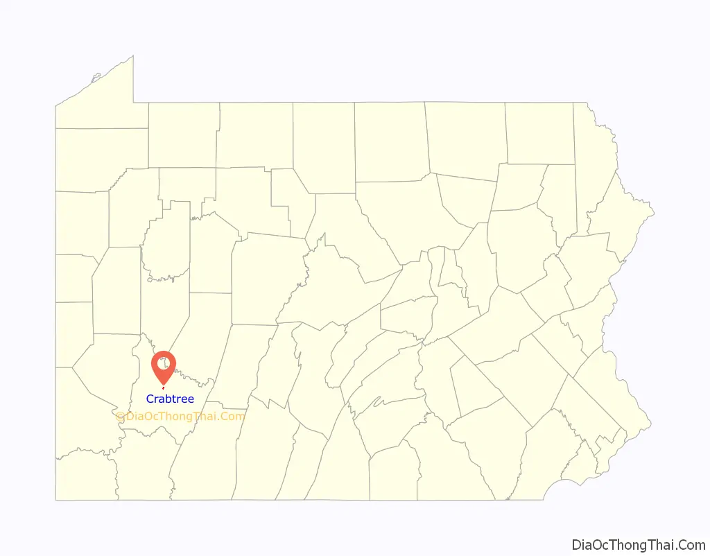
Crabtree location map. Where is Crabtree CDP?
History
The town presently called Crabtree was originally named Goff. In the 1880s, Thomas Donohoe’s Alexandria Coal Company began mining and coking operations nearby, and built company houses in the town. The Jamison Coal & Coke Company acquired the mine in 1901. Renamed the No. 4 mine, it contained two slope entries, one in Salem Township and the other in Unity Township. The Alexandria Branch of the Pennsylvania Railroad served the No. 4 mine. Jamison Coal & Coke expanded the town of Goff, constructing houses in Unity and Salem townships. The growing town of Goff had its name changed to Crabtree in 1908, and the original village of Crabtree, about 2 miles southeast of Goff, became known as Old Crabtree. The Jamison No. 4 mine at one time employed between 350 and 400 persons. Mines Nos. 4 and 5 continued to operate through the 1930s. Subsequently, a strip mine was developed along Crabtree Creek.
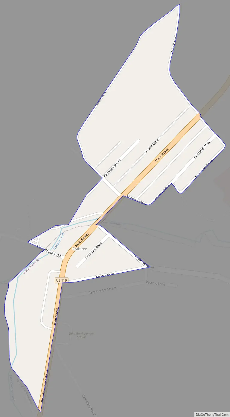
Crabtree Road Map
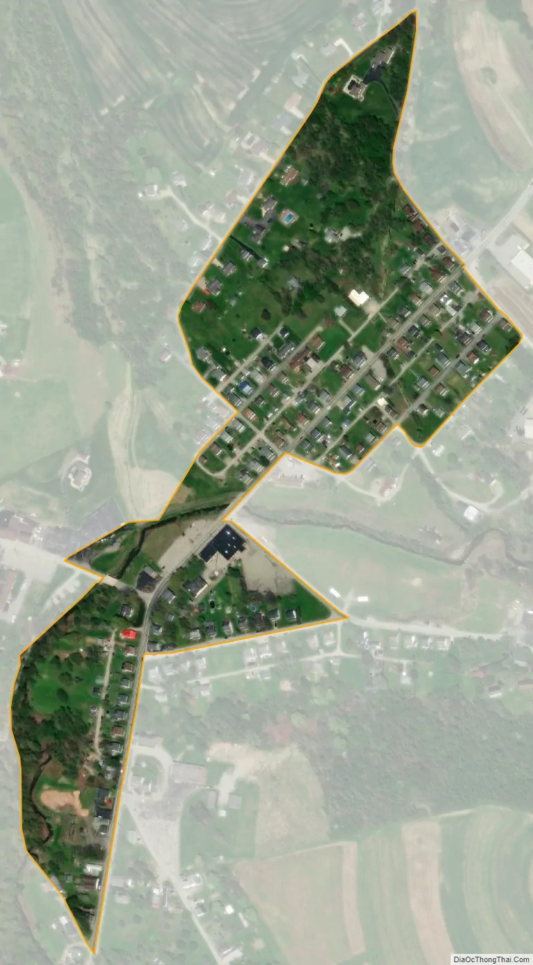
Crabtree city Satellite Map
Geography
Crabtree is located at 40°21′48″N 79°28′11″W / 40.36333°N 79.46972°W / 40.36333; -79.46972 (40.363400, -79.469664).
According to the United States Census Bureau, the CDP has a total area of 0.1 square miles (0.26 km), all land.
See also
Map of Pennsylvania State and its subdivision:- Adams
- Allegheny
- Armstrong
- Beaver
- Bedford
- Berks
- Blair
- Bradford
- Bucks
- Butler
- Cambria
- Cameron
- Carbon
- Centre
- Chester
- Clarion
- Clearfield
- Clinton
- Columbia
- Crawford
- Cumberland
- Dauphin
- Delaware
- Elk
- Erie
- Fayette
- Forest
- Franklin
- Fulton
- Greene
- Huntingdon
- Indiana
- Jefferson
- Juniata
- Lackawanna
- Lancaster
- Lawrence
- Lebanon
- Lehigh
- Luzerne
- Lycoming
- Mc Kean
- Mercer
- Mifflin
- Monroe
- Montgomery
- Montour
- Northampton
- Northumberland
- Perry
- Philadelphia
- Pike
- Potter
- Schuylkill
- Snyder
- Somerset
- Sullivan
- Susquehanna
- Tioga
- Union
- Venango
- Warren
- Washington
- Wayne
- Westmoreland
- Wyoming
- York
- Alabama
- Alaska
- Arizona
- Arkansas
- California
- Colorado
- Connecticut
- Delaware
- District of Columbia
- Florida
- Georgia
- Hawaii
- Idaho
- Illinois
- Indiana
- Iowa
- Kansas
- Kentucky
- Louisiana
- Maine
- Maryland
- Massachusetts
- Michigan
- Minnesota
- Mississippi
- Missouri
- Montana
- Nebraska
- Nevada
- New Hampshire
- New Jersey
- New Mexico
- New York
- North Carolina
- North Dakota
- Ohio
- Oklahoma
- Oregon
- Pennsylvania
- Rhode Island
- South Carolina
- South Dakota
- Tennessee
- Texas
- Utah
- Vermont
- Virginia
- Washington
- West Virginia
- Wisconsin
- Wyoming


