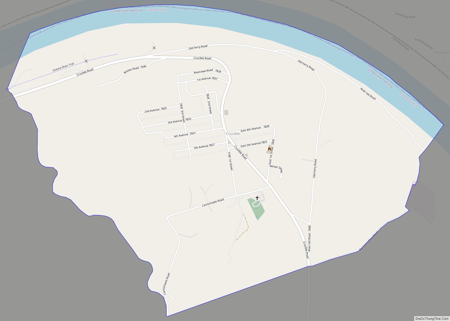
Crucible is a census-designated place and coal town in Greene County, Pennsylvania, United States. Their post office opened in 1914. The 2010 census reported Crucible with a population of 725. 70.6% of households are families, with an average family size of 3.02.
| Name: | Crucible CDP |
|---|---|
| LSAD Code: | 57 |
| LSAD Description: | CDP (suffix) |
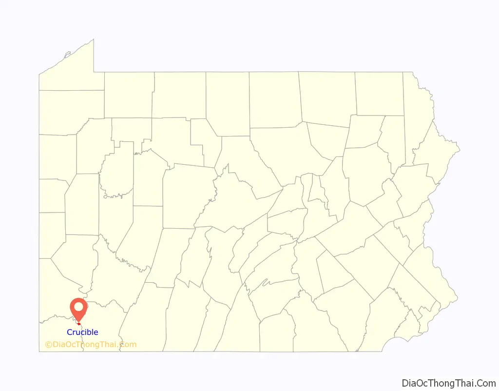
| State: | Pennsylvania |
| County: | Greene County |
| Elevation: | 1,076 ft (328 m) |
| Total Area: | 1.26 sq mi (3.28 km²) |
| Land Area: | 1.15 sq mi (2.98 km²) |
| Water Area: | 0.11 sq mi (0.29 km²) |
| Total Population: | 673 |
| Population Density: | 584.20/sq mi (225.53/km²) |
| ZIP code: | 15325 |
| FIPS code: | 4217528 |
| GNISfeature ID: | 1172786 |
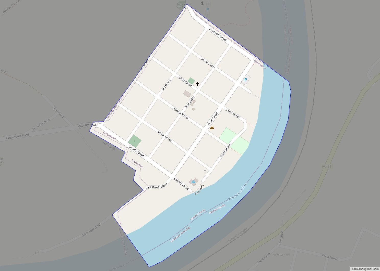
Online Interactive Map
Click on ![]() to view map in "full screen" mode.
to view map in "full screen" mode.
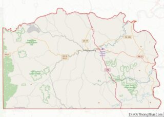
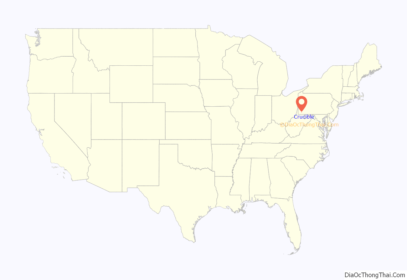
Crucible location map. Where is Crucible CDP?
History
The community of Crucible was built around a coal mine operated by Crucible Coal, Co. Some sources cite that the mine opened in 1910, but others claim that the official opening was in 1913 after the sale of 2,000 acres (810 ha) to Crucible Coal, Co. Crucible had many features typical of a coal town, including company housing, a company store, and a post office. At its peak in 1953, the mine employed 903 people. Over the course of its operation, the mine produced 36.5 million tons of coal. The mine closed in 1961.
The community of Crucible had its own school, which operated under the umbrella of the Carmichaels Area School District, until the 1991-1992 school year, when the new elementary school in Carmichaels opened. The school has subsequently been shut down, but had been used as a haunted house for fundraisers and as a training facility for the local volunteer fire department; it has been demolished.
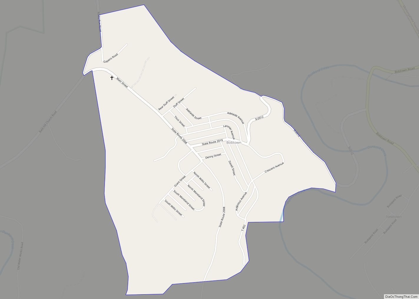
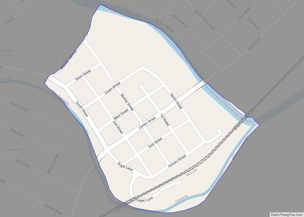
Crucible Road Map

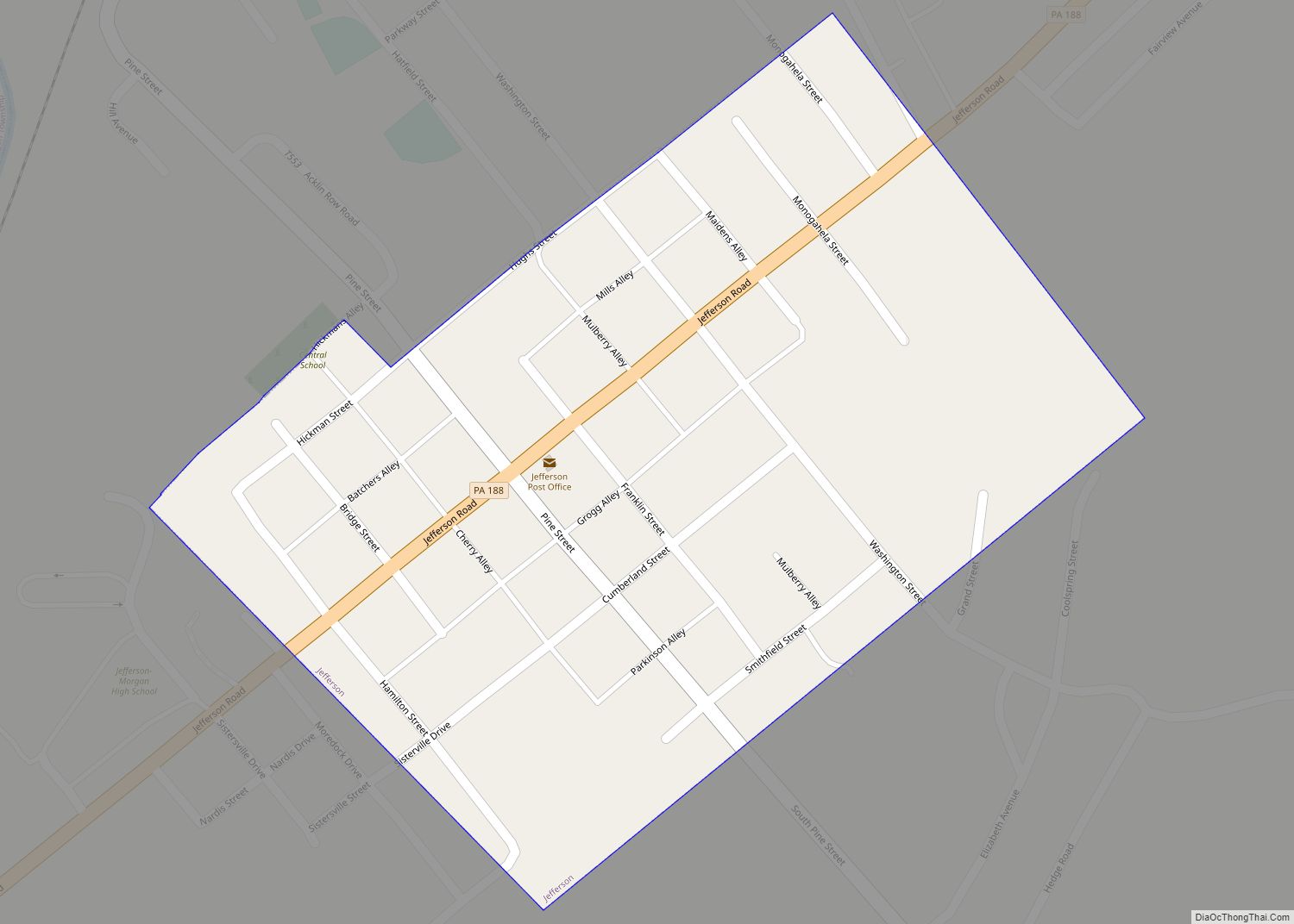
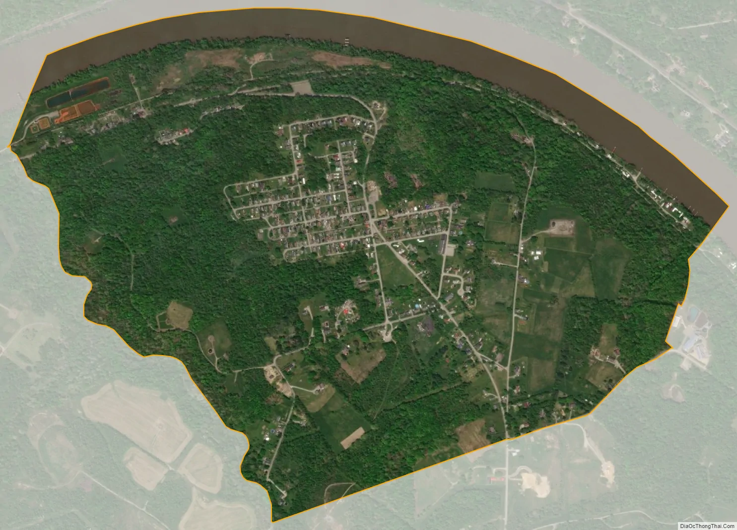
Crucible city Satellite Map
Geography
Crucible is located in northeastern Greene County, in the northern part of Cumberland Township, on the south side of the Monongahela River. The CDP begins at the riverbank and extends south up the 200-foot-high (60 m) river bluff to a plateau where most of the houses are located. The borough of Rices Landing is 2 miles (3 km) to the west, and Carmichaels is 4 miles (6 km) to the south.
According to the U.S. Census Bureau, the Crucible CDP has a total area of 1.3 square miles (3.3 km), of which 1.2 square miles (3.0 km) are land and 0.1 square miles (0.3 km), or 8.91%, are water.
See also
Map of Pennsylvania State and its subdivision:- Adams
- Allegheny
- Armstrong
- Beaver
- Bedford
- Berks
- Blair
- Bradford
- Bucks
- Butler
- Cambria
- Cameron
- Carbon
- Centre
- Chester
- Clarion
- Clearfield
- Clinton
- Columbia
- Crawford
- Cumberland
- Dauphin
- Delaware
- Elk
- Erie
- Fayette
- Forest
- Franklin
- Fulton
- Greene
- Huntingdon
- Indiana
- Jefferson
- Juniata
- Lackawanna
- Lancaster
- Lawrence
- Lebanon
- Lehigh
- Luzerne
- Lycoming
- Mc Kean
- Mercer
- Mifflin
- Monroe
- Montgomery
- Montour
- Northampton
- Northumberland
- Perry
- Philadelphia
- Pike
- Potter
- Schuylkill
- Snyder
- Somerset
- Sullivan
- Susquehanna
- Tioga
- Union
- Venango
- Warren
- Washington
- Wayne
- Westmoreland
- Wyoming
- York
- Alabama
- Alaska
- Arizona
- Arkansas
- California
- Colorado
- Connecticut
- Delaware
- District of Columbia
- Florida
- Georgia
- Hawaii
- Idaho
- Illinois
- Indiana
- Iowa
- Kansas
- Kentucky
- Louisiana
- Maine
- Maryland
- Massachusetts
- Michigan
- Minnesota
- Mississippi
- Missouri
- Montana
- Nebraska
- Nevada
- New Hampshire
- New Jersey
- New Mexico
- New York
- North Carolina
- North Dakota
- Ohio
- Oklahoma
- Oregon
- Pennsylvania
- Rhode Island
- South Carolina
- South Dakota
- Tennessee
- Texas
- Utah
- Vermont
- Virginia
- Washington
- West Virginia
- Wisconsin
- Wyoming