Davidsville is a census-designated place (CDP) in Somerset County, Pennsylvania, United States. The population was 1,119 at the 2000 census. It is part of the Johnstown, Pennsylvania, Metropolitan Statistical Area. Davidsville is part of the municipality of Conemaugh Township, Somerset County, Pennsylvania, as are the nearby towns of Jerome, Thomas Mills, Tire Hill, Seanor, Hyasota, and part of Holsopple. Davidsville is Area code: 814 Exchange: 479; ZIP Code: 15928.
| Name: | Davidsville CDP |
|---|---|
| LSAD Code: | 57 |
| LSAD Description: | CDP (suffix) |
| State: | Pennsylvania |
| County: | Somerset County |
| FIPS code: | 4218312 |
Online Interactive Map
Click on ![]() to view map in "full screen" mode.
to view map in "full screen" mode.
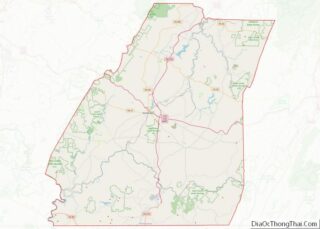
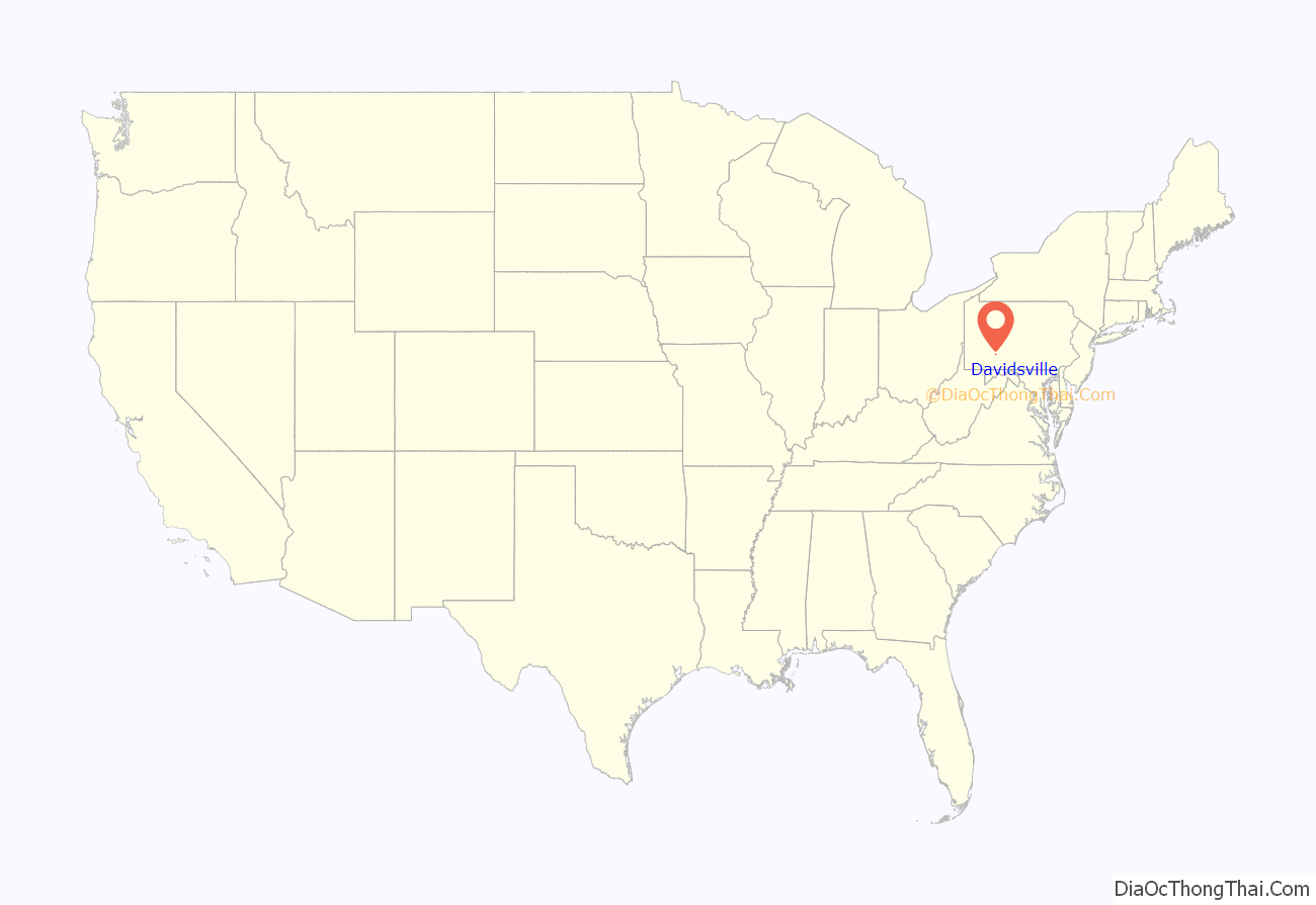
Davidsville location map. Where is Davidsville CDP?
History
David Stutzman laid out Davidsville in 1831, with Thomas Gaghegan serving as surveyor. Joseph Schell & Peter Levy built the first house in 1831, Tobias Mishler & Samuel Livingstone built a blacksmith shop in 1832, and a schoolhouse was built around 1835. A Lutheran church was built in 1852.
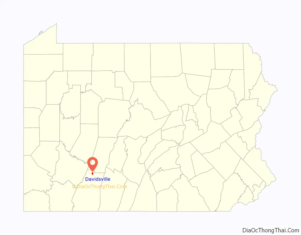
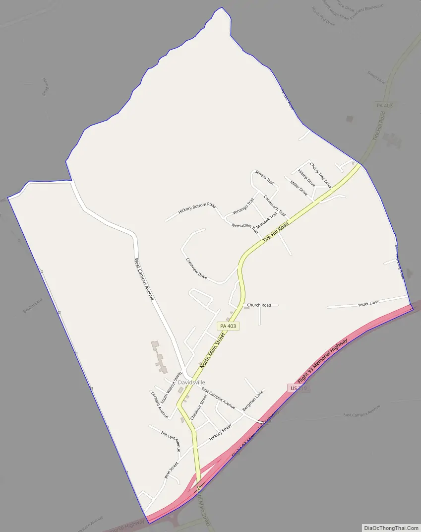
Davidsville Road Map
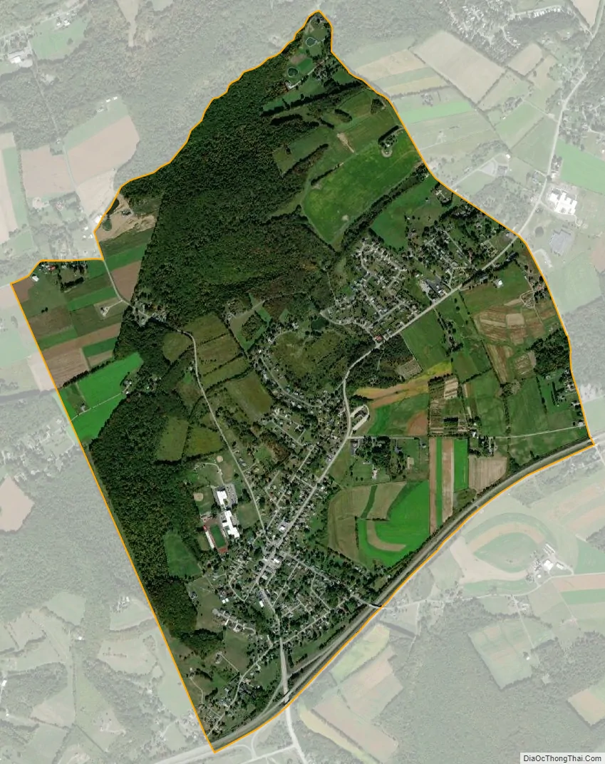
Davidsville city Satellite Map
Geography
Davidsville is located at 40°13′36″N 78°56′12″W / 40.22667°N 78.93667°W / 40.22667; -78.93667Coordinates: 40°13′36″N 78°56′12″W / 40.22667°N 78.93667°W / 40.22667; -78.93667. According to the United States Census Bureau, the CDP has a total area of 2.3 square miles (6.0 km), all land.
See also
Map of Pennsylvania State and its subdivision:- Adams
- Allegheny
- Armstrong
- Beaver
- Bedford
- Berks
- Blair
- Bradford
- Bucks
- Butler
- Cambria
- Cameron
- Carbon
- Centre
- Chester
- Clarion
- Clearfield
- Clinton
- Columbia
- Crawford
- Cumberland
- Dauphin
- Delaware
- Elk
- Erie
- Fayette
- Forest
- Franklin
- Fulton
- Greene
- Huntingdon
- Indiana
- Jefferson
- Juniata
- Lackawanna
- Lancaster
- Lawrence
- Lebanon
- Lehigh
- Luzerne
- Lycoming
- Mc Kean
- Mercer
- Mifflin
- Monroe
- Montgomery
- Montour
- Northampton
- Northumberland
- Perry
- Philadelphia
- Pike
- Potter
- Schuylkill
- Snyder
- Somerset
- Sullivan
- Susquehanna
- Tioga
- Union
- Venango
- Warren
- Washington
- Wayne
- Westmoreland
- Wyoming
- York
- Alabama
- Alaska
- Arizona
- Arkansas
- California
- Colorado
- Connecticut
- Delaware
- District of Columbia
- Florida
- Georgia
- Hawaii
- Idaho
- Illinois
- Indiana
- Iowa
- Kansas
- Kentucky
- Louisiana
- Maine
- Maryland
- Massachusetts
- Michigan
- Minnesota
- Mississippi
- Missouri
- Montana
- Nebraska
- Nevada
- New Hampshire
- New Jersey
- New Mexico
- New York
- North Carolina
- North Dakota
- Ohio
- Oklahoma
- Oregon
- Pennsylvania
- Rhode Island
- South Carolina
- South Dakota
- Tennessee
- Texas
- Utah
- Vermont
- Virginia
- Washington
- West Virginia
- Wisconsin
- Wyoming