Delmont is a borough in Westmoreland County, Pennsylvania. The population was 2,592 at the 2020 census.
| Name: | Delmont borough |
|---|---|
| LSAD Code: | 21 |
| LSAD Description: | borough (suffix) |
| State: | Pennsylvania |
| County: | Westmoreland County |
| Incorporated: | 1833 |
| Elevation: | 1,260 ft (380 m) |
| Total Area: | 1.06 sq mi (2.73 km²) |
| Land Area: | 1.06 sq mi (2.73 km²) |
| Water Area: | 0.00 sq mi (0.00 km²) |
| Total Population: | 2,596 |
| Population Density: | 2,458.33/sq mi (949.19/km²) |
| FIPS code: | 4218768 |
Online Interactive Map
Click on ![]() to view map in "full screen" mode.
to view map in "full screen" mode.
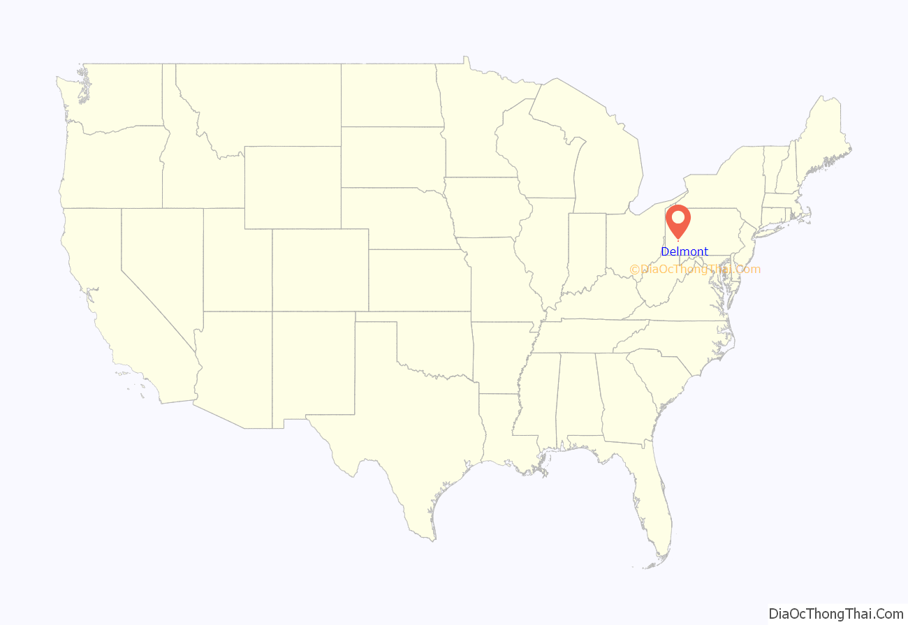
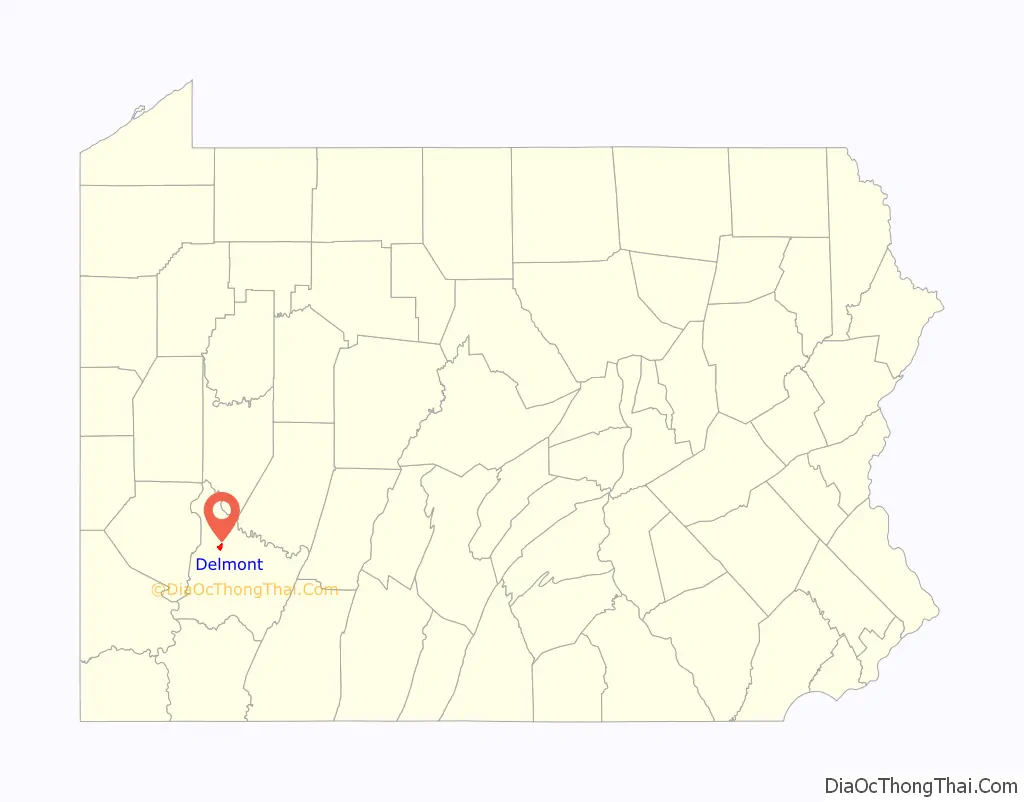
Delmont location map. Where is Delmont borough?
History
Delmont was initially known as New Salem. The 300 acres of land was warranted to William Wilson in 1784, and upon his arrival in 1785, he named the area New Salem. In 1812, a post office was established in New Salem, “Salem X Roads” (Salem Crossroads), Pennsylvania. Hugh Bigham was the first postmaster. Wilson continued to farm on the land until he died in 1796.
After Wilson died in 1796, his estate was divided between his sons, Thomas and George. It was not until 1812 that the patent was validated. Eventually, the family conveyed their deeds to Thomas, who became the property’s sole owner. Thomas divided the property into 48 lots to form a crossroads village. Thomas Wilson designed the town around a watering trough built in 1810 by Hugh Bigham. The watering trough was initially known as the running pump. The watering trough was connected with wooden pipes to a big Spring that’s never known to run dry. In 1814, 48 lots were auctioned off two days before Christmas to form a crossroads town. As the area developed, the town was referred to locally as Salem Crossroads.
On April 8, 1833, the town was incorporated as “New Salem Borough.” The mailing address was Salem Crossroads until 1871 when town postmaster Zachariah Zimmerman changed it to Delmont. The town and the post office carried two different names until May 16, 1967, when residents voted to change the borough’s name to Delmont after a promotional campaign by then-Mayor Franklin Mangery. Major navigational roads were built through the area in the late 18th century, and local Route 66 was built in 1800. The East-West Northern Turnpike was completed in 1819, linking Philadelphia to Pittsburgh. Delmont was a busy stagecoach stop boasting at one time five stage coach lines through the village. Travelers would stop, tired and hungry, and patronize the several inns and taverns in town. In 1853, the Pennsylvania Railroad was completed through Westmoreland County to Pittsburgh. This was a faster, more economical way to travel. In 1855, the last stagecoach passed through the crossroads village, ending the stagecoach era for the crossroads town.
Several areas and businesses in and around the borough still carry the Salem reference. Others refer to “Cloverleaf,” which referred to the interchange at Routes 22 and 66, formerly a “cloverleaf” style exchange. It was changed to a single-point diamond interchange in 2000.
In the late 1970s, the Salem Crossroads Historical Restoration Society worked to maintain the local history and restore the area. As a result of its efforts, the National Register of Historic Places listed the Salem Crossroads Historic District in 1978. In 1980, the society purchased Shields Farm. The farm hosts an annual Apple’ N Arts festival during the first week of October; the festival held a 40th-anniversary event in 2022.
The society disbanded at some point after its initial accomplishments. Downtown Delmont lost some businesses with the opening of chain retailers along the U.S. Route 22 corridor. Residents have discussed ways to reinvest in downtown Delmont and focus again on the town’s historic resources.
Salem Township and Delmont, a book about the area’s history by writer Tracy Searight, was published in 2012.
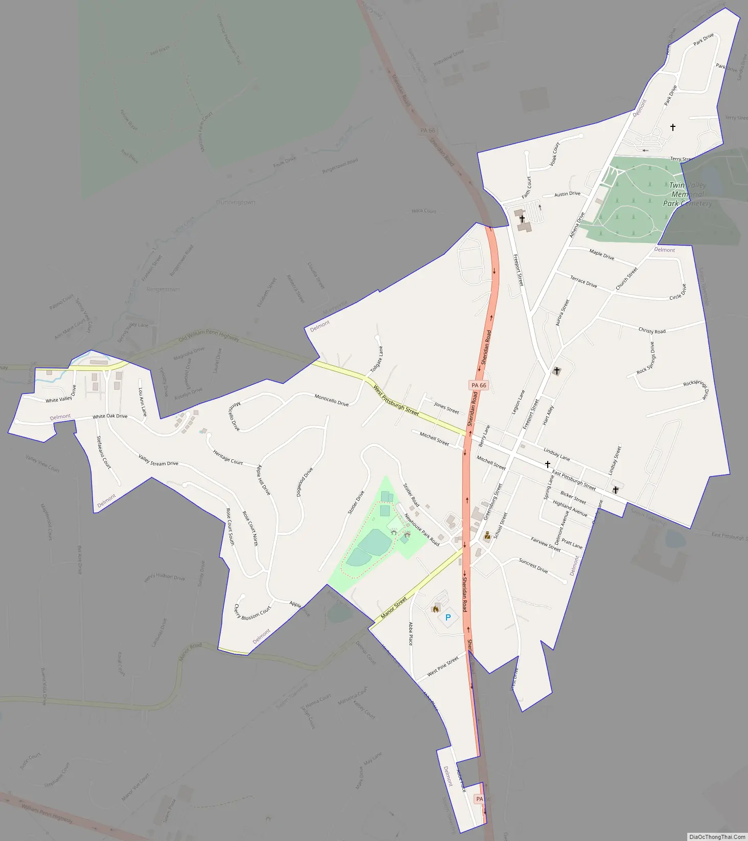
Delmont Road Map
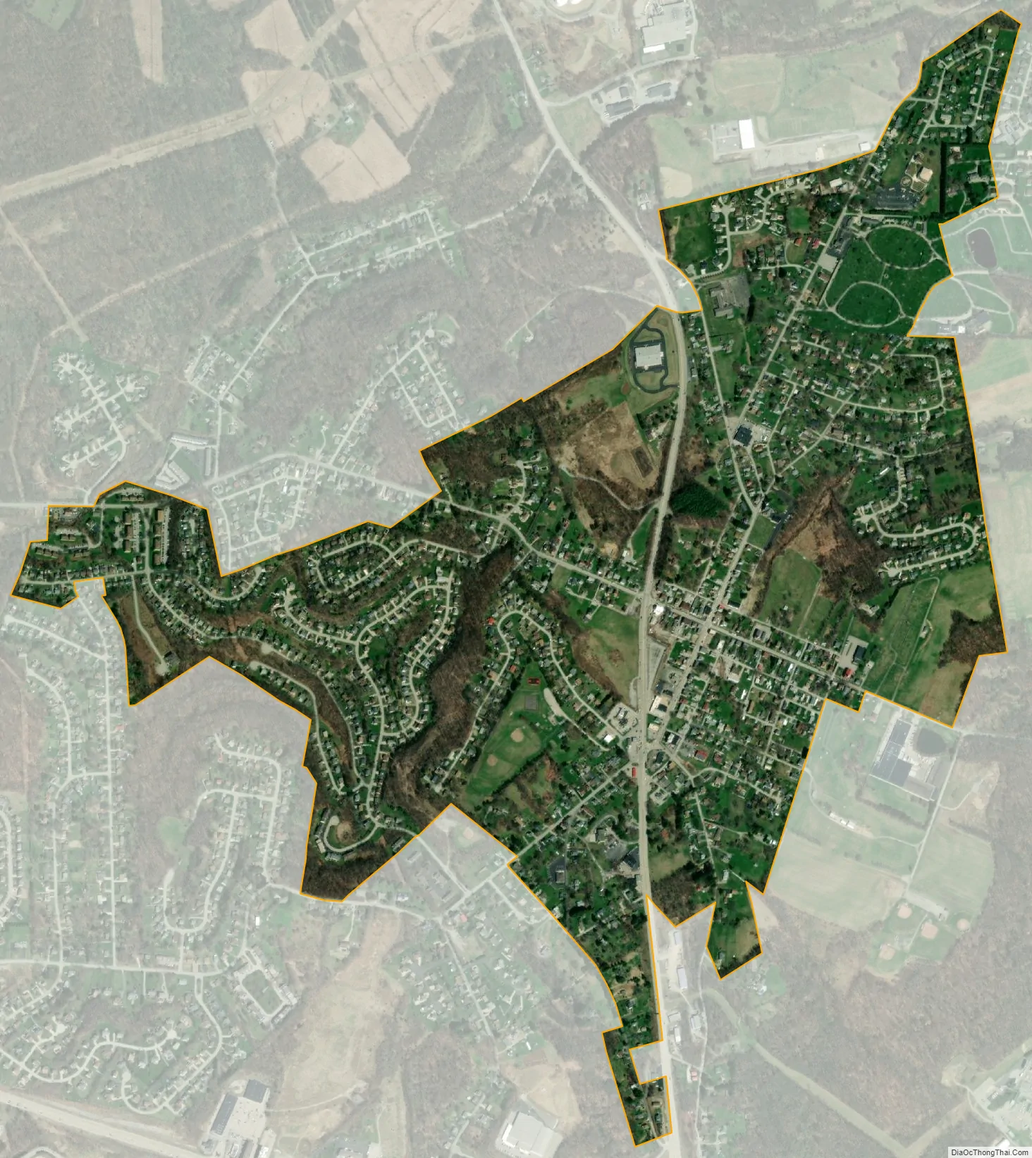
Delmont city Satellite Map
Geography
Delmont is located at 40°24′47″N 79°34′17″W / 40.41306°N 79.57139°W / 40.41306; -79.57139 (40.412971, -79.571433). According to the U.S. Census Bureau, the borough has a total area of 1.1 square miles (2.8 km), all land. Delmont has been assigned the ZIP Code 15626.
See also
Map of Pennsylvania State and its subdivision:- Adams
- Allegheny
- Armstrong
- Beaver
- Bedford
- Berks
- Blair
- Bradford
- Bucks
- Butler
- Cambria
- Cameron
- Carbon
- Centre
- Chester
- Clarion
- Clearfield
- Clinton
- Columbia
- Crawford
- Cumberland
- Dauphin
- Delaware
- Elk
- Erie
- Fayette
- Forest
- Franklin
- Fulton
- Greene
- Huntingdon
- Indiana
- Jefferson
- Juniata
- Lackawanna
- Lancaster
- Lawrence
- Lebanon
- Lehigh
- Luzerne
- Lycoming
- Mc Kean
- Mercer
- Mifflin
- Monroe
- Montgomery
- Montour
- Northampton
- Northumberland
- Perry
- Philadelphia
- Pike
- Potter
- Schuylkill
- Snyder
- Somerset
- Sullivan
- Susquehanna
- Tioga
- Union
- Venango
- Warren
- Washington
- Wayne
- Westmoreland
- Wyoming
- York
- Alabama
- Alaska
- Arizona
- Arkansas
- California
- Colorado
- Connecticut
- Delaware
- District of Columbia
- Florida
- Georgia
- Hawaii
- Idaho
- Illinois
- Indiana
- Iowa
- Kansas
- Kentucky
- Louisiana
- Maine
- Maryland
- Massachusetts
- Michigan
- Minnesota
- Mississippi
- Missouri
- Montana
- Nebraska
- Nevada
- New Hampshire
- New Jersey
- New Mexico
- New York
- North Carolina
- North Dakota
- Ohio
- Oklahoma
- Oregon
- Pennsylvania
- Rhode Island
- South Carolina
- South Dakota
- Tennessee
- Texas
- Utah
- Vermont
- Virginia
- Washington
- West Virginia
- Wisconsin
- Wyoming


