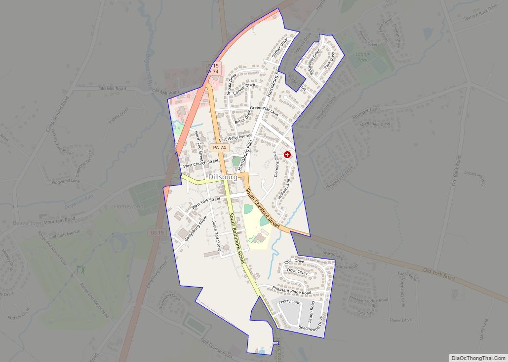
Dillsburg is a borough in York County, Pennsylvania, United States. The population was 2,643 as of the 2020 census.
| Name: | Dillsburg borough |
|---|---|
| LSAD Code: | 21 |
| LSAD Description: | borough (suffix) |
| State: | Pennsylvania |
| County: | York County |
| Incorporated: | 1833 |
| Elevation: | 659 ft (201 m) |
| Total Area: | 0.81 sq mi (2.09 km²) |
| Land Area: | 0.81 sq mi (2.09 km²) |
| Water Area: | 0.00 sq mi (0.00 km²) |
| Total Population: | 2,635 |
| Population Density: | 3,265.18/sq mi (1,260.84/km²) |
| Area code: | 717 and 223 |
| FIPS code: | 4219208 |
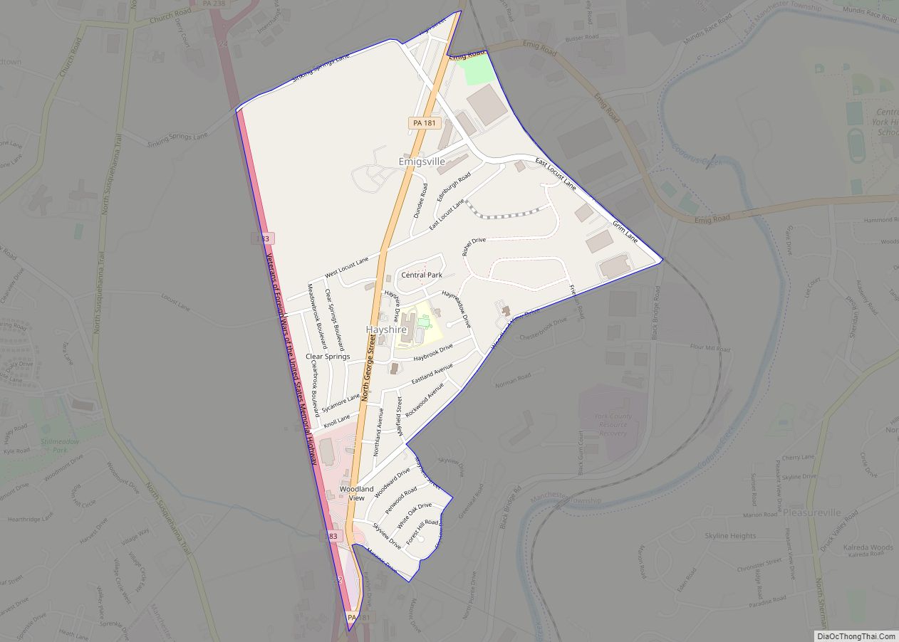
Online Interactive Map
Click on ![]() to view map in "full screen" mode.
to view map in "full screen" mode.
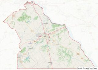
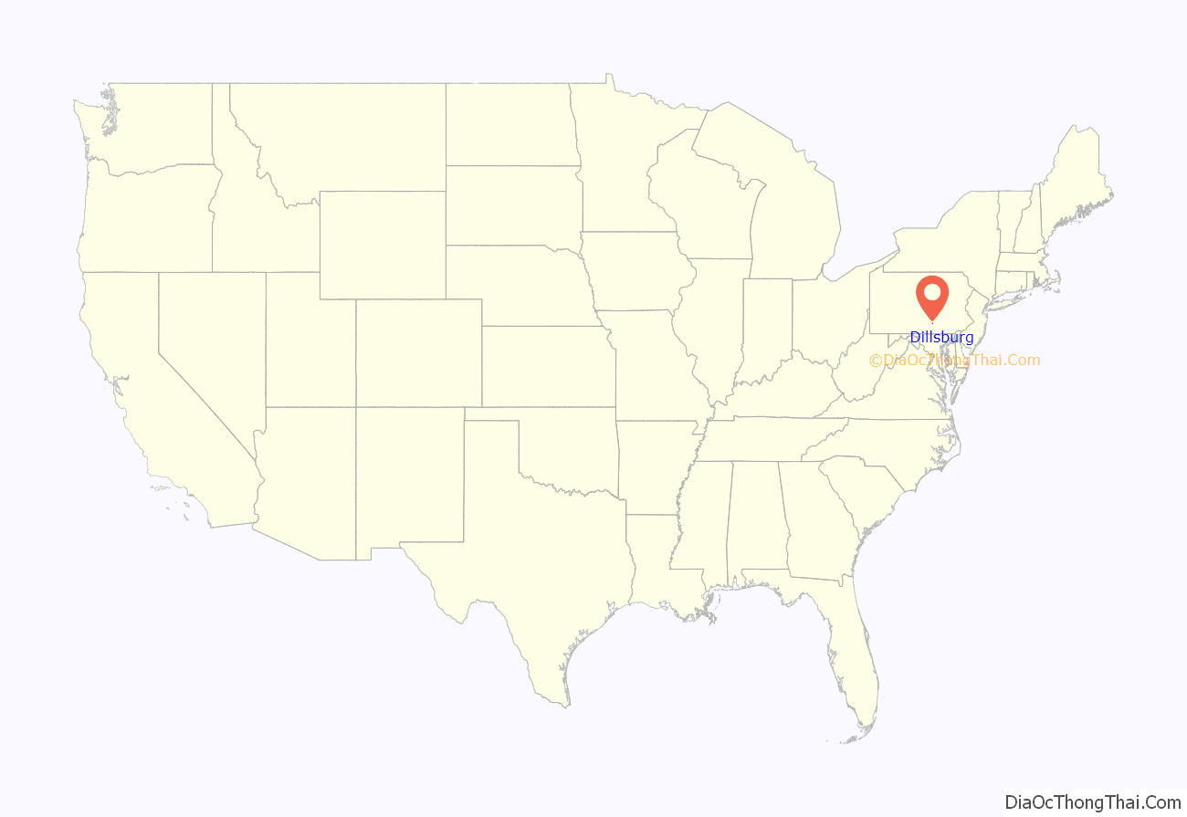
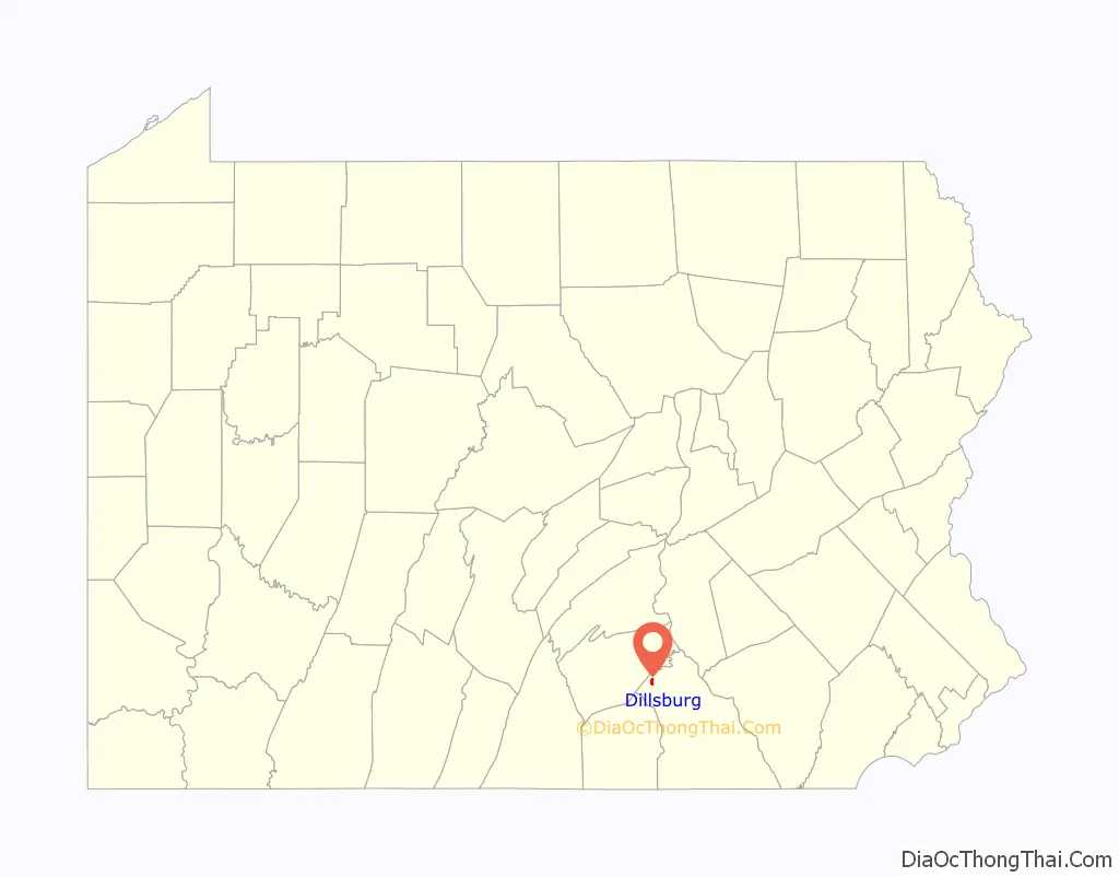
Dillsburg location map. Where is Dillsburg borough?
History
The town is named for Matthew Dill, an immigrant from County Monaghan, Ireland, who settled the town in 1740. The village became a center for local agriculture.
During the Civil War’s Gettysburg Campaign, Dillsburg was twice invaded by Confederate cavalry, first by Albert G. Jenkins’s brigade, then by Maj. Gen. J.E.B. Stuart’s division.
Dill’s Tavern, founded in the 1750s with a current building constructed between 1794 and 1819, and the Rev. Anderson B. Quay House are listed on the National Register of Historic Places.
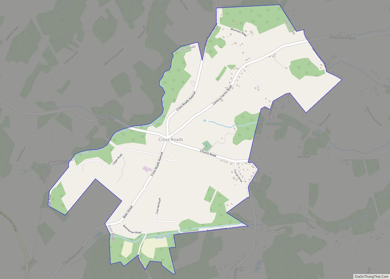
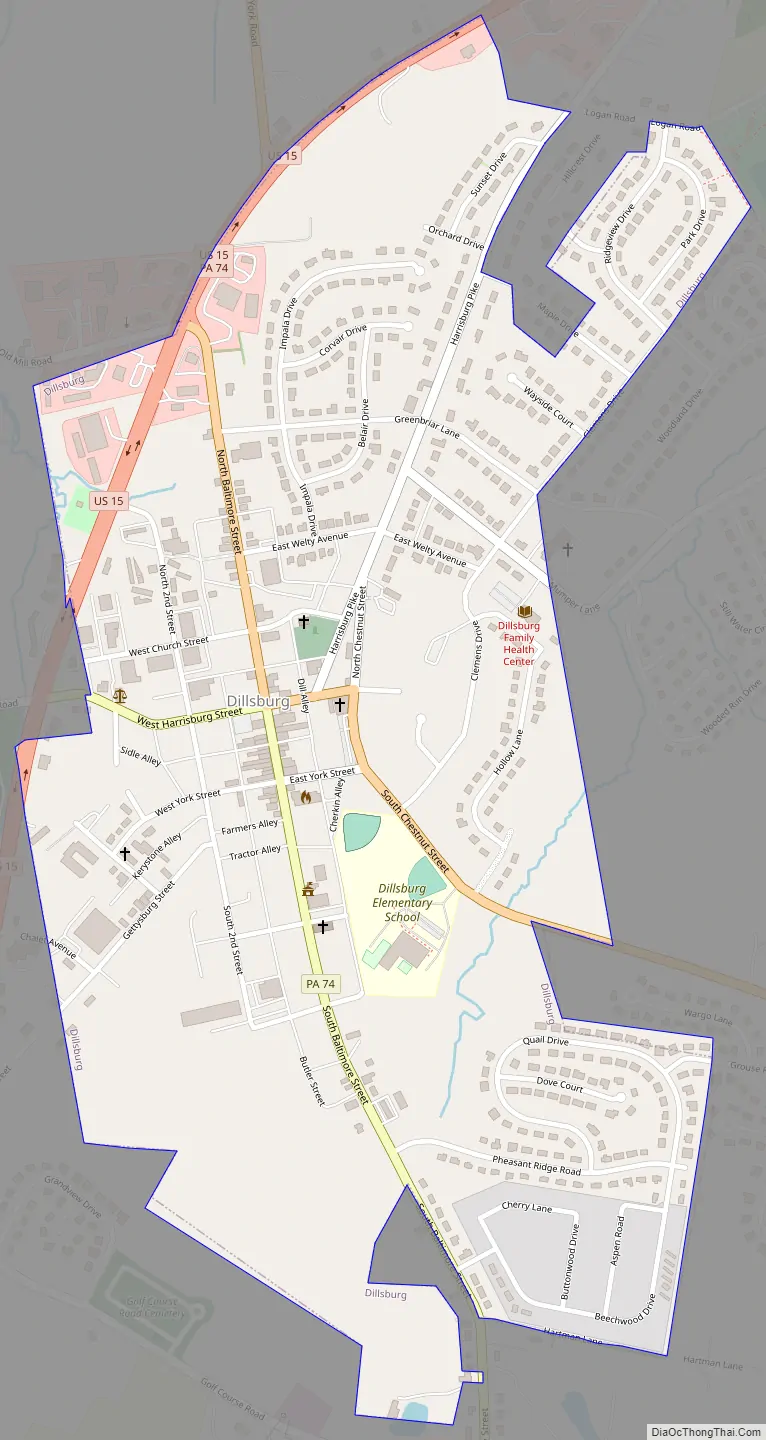
Dillsburg Road Map
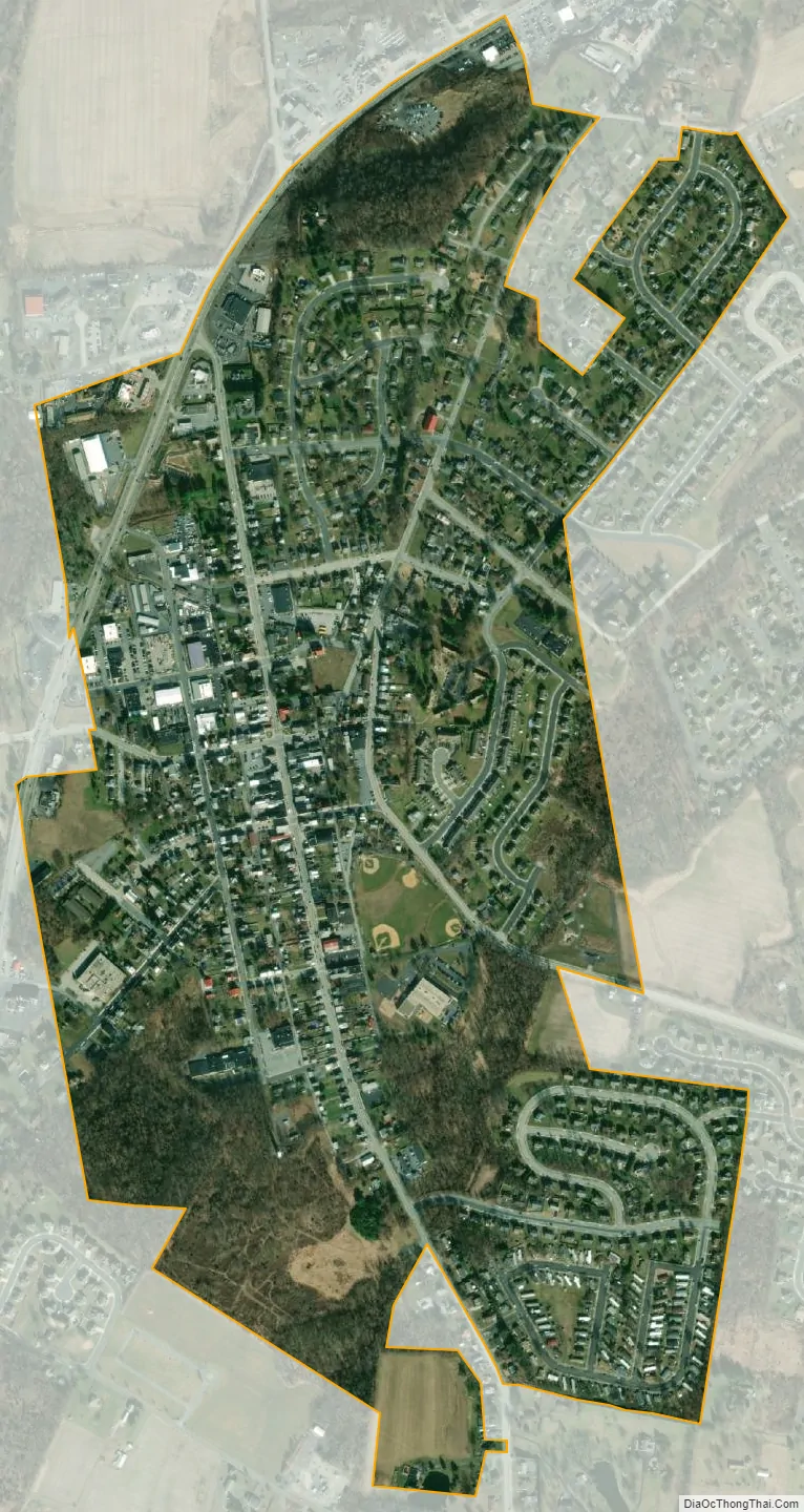
Dillsburg city Satellite Map
Geography
Dillsburg is surrounded by Carroll Township in northwestern York County. According to the United States Census Bureau, the borough has a total area of 0.8 square miles (2.1 km), all land.
See also
Map of Pennsylvania State and its subdivision:- Adams
- Allegheny
- Armstrong
- Beaver
- Bedford
- Berks
- Blair
- Bradford
- Bucks
- Butler
- Cambria
- Cameron
- Carbon
- Centre
- Chester
- Clarion
- Clearfield
- Clinton
- Columbia
- Crawford
- Cumberland
- Dauphin
- Delaware
- Elk
- Erie
- Fayette
- Forest
- Franklin
- Fulton
- Greene
- Huntingdon
- Indiana
- Jefferson
- Juniata
- Lackawanna
- Lancaster
- Lawrence
- Lebanon
- Lehigh
- Luzerne
- Lycoming
- Mc Kean
- Mercer
- Mifflin
- Monroe
- Montgomery
- Montour
- Northampton
- Northumberland
- Perry
- Philadelphia
- Pike
- Potter
- Schuylkill
- Snyder
- Somerset
- Sullivan
- Susquehanna
- Tioga
- Union
- Venango
- Warren
- Washington
- Wayne
- Westmoreland
- Wyoming
- York
- Alabama
- Alaska
- Arizona
- Arkansas
- California
- Colorado
- Connecticut
- Delaware
- District of Columbia
- Florida
- Georgia
- Hawaii
- Idaho
- Illinois
- Indiana
- Iowa
- Kansas
- Kentucky
- Louisiana
- Maine
- Maryland
- Massachusetts
- Michigan
- Minnesota
- Mississippi
- Missouri
- Montana
- Nebraska
- Nevada
- New Hampshire
- New Jersey
- New Mexico
- New York
- North Carolina
- North Dakota
- Ohio
- Oklahoma
- Oregon
- Pennsylvania
- Rhode Island
- South Carolina
- South Dakota
- Tennessee
- Texas
- Utah
- Vermont
- Virginia
- Washington
- West Virginia
- Wisconsin
- Wyoming